Walk this property with confidence.
Use GPS directions to reach the tract. Then open the property lines on your phone and follow your blue location dot as you walk, so you can see where you are in relation to the boundaries.
Interactive property map
See the land before you visit.
Switch aerial, topographic, soil, water, contour, and terrain layers while the mapped project boundary stays visible.
Property Documents
Property Description
105 Acre - Sulphur Spring RdRecreational Retreat with 3 Acre Pond
Sulphur Spring Rd SE, New Lexington, Ohio
Perry County
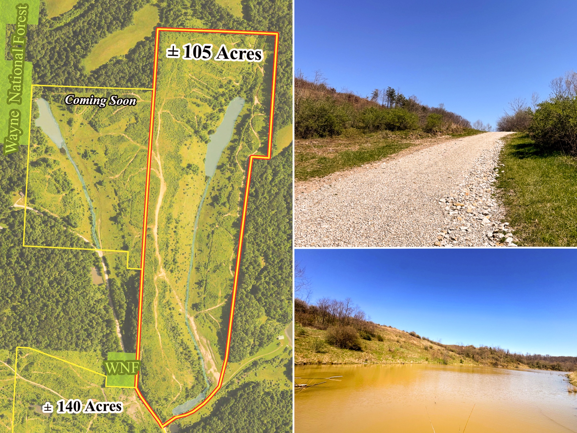
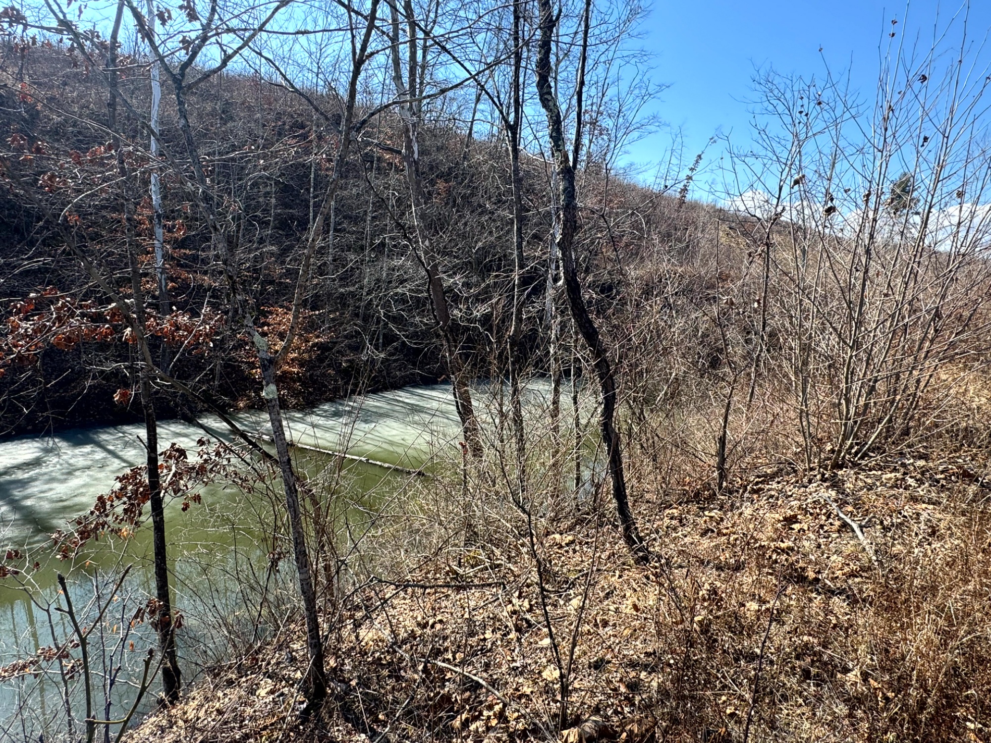
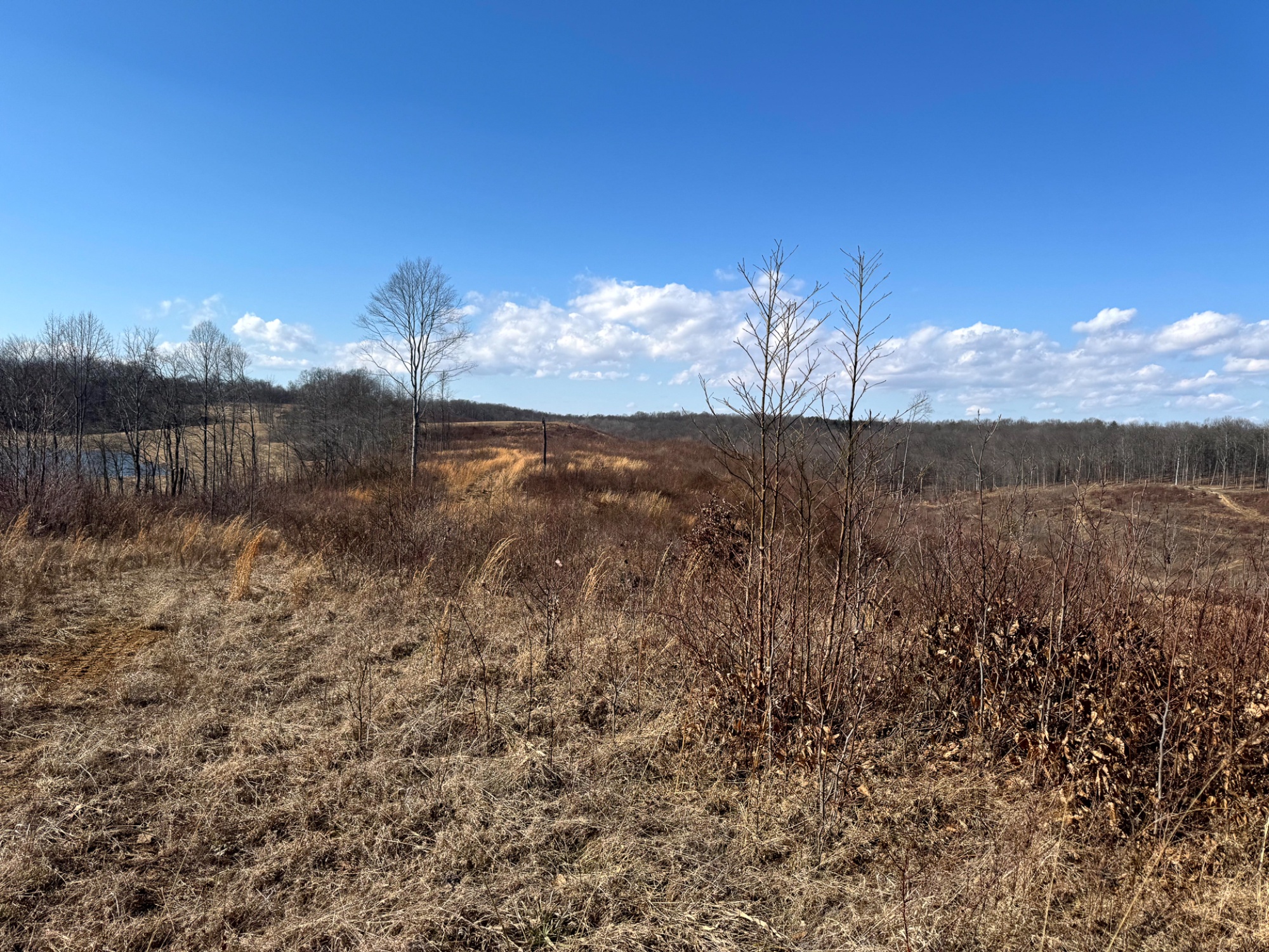
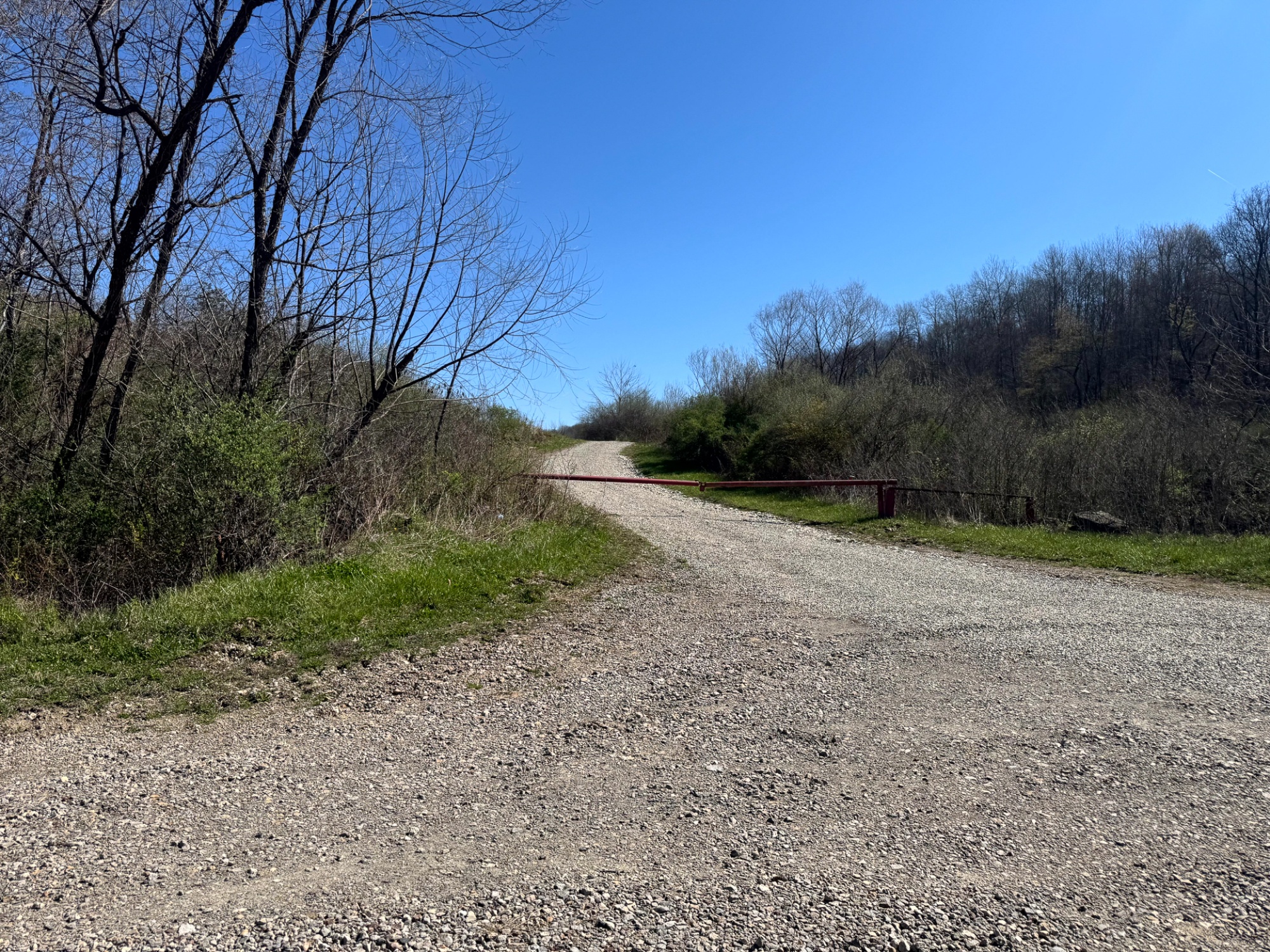
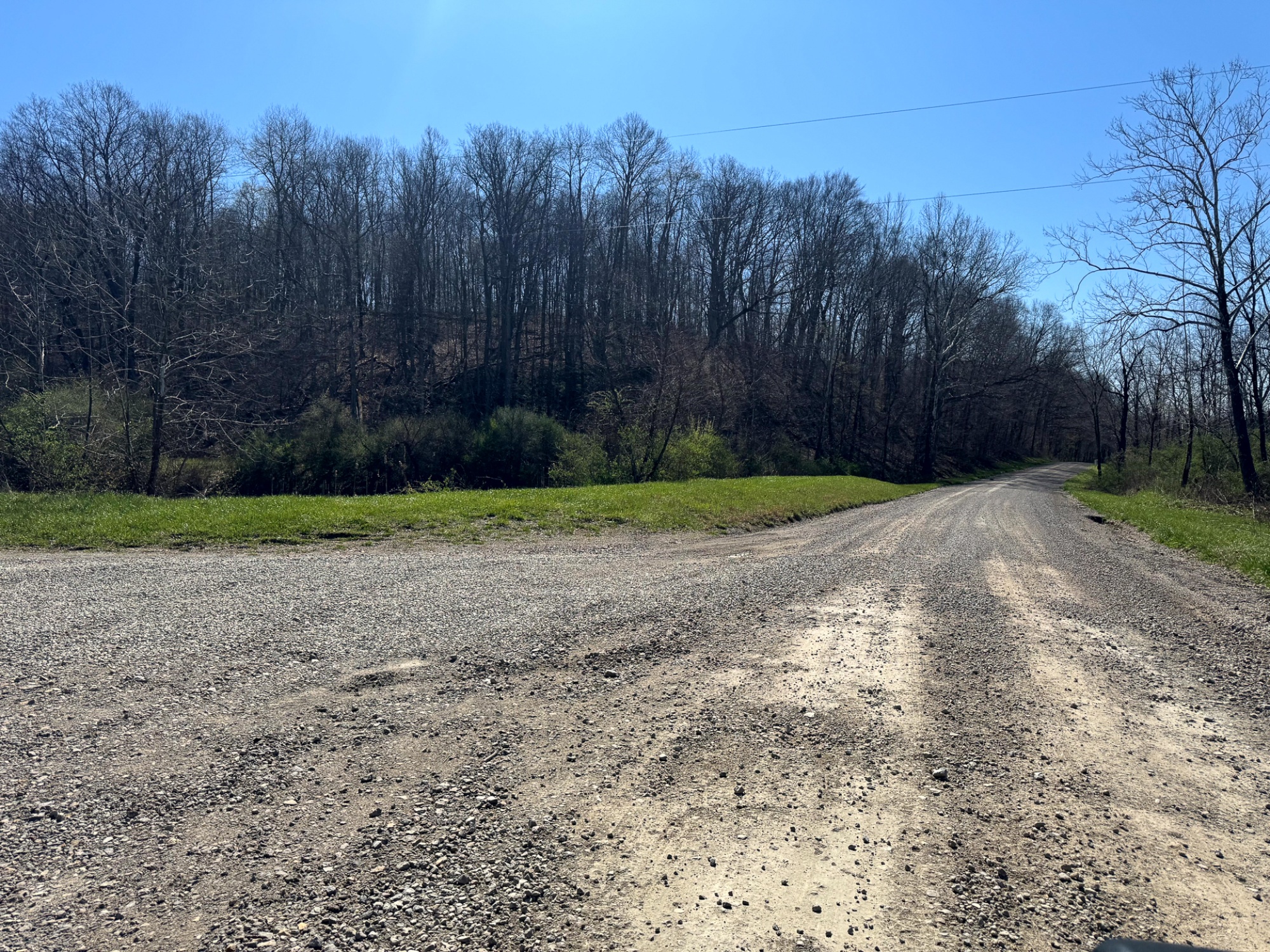
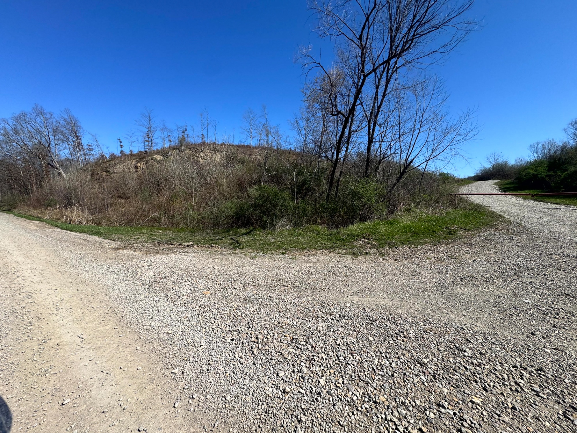
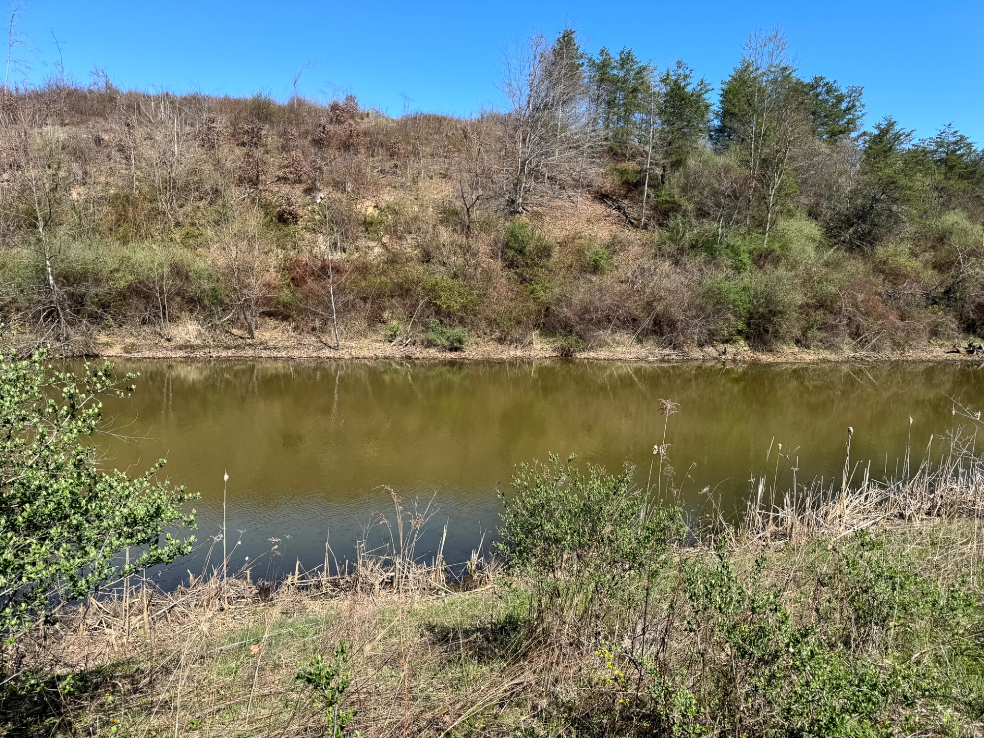
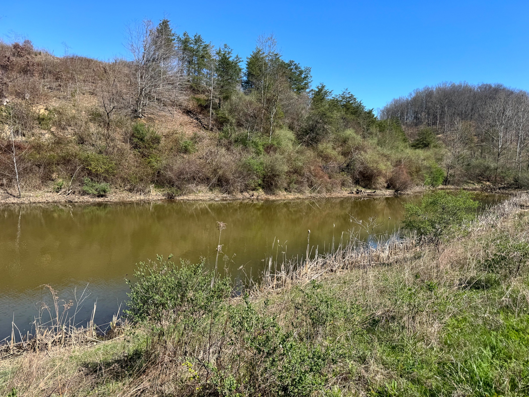
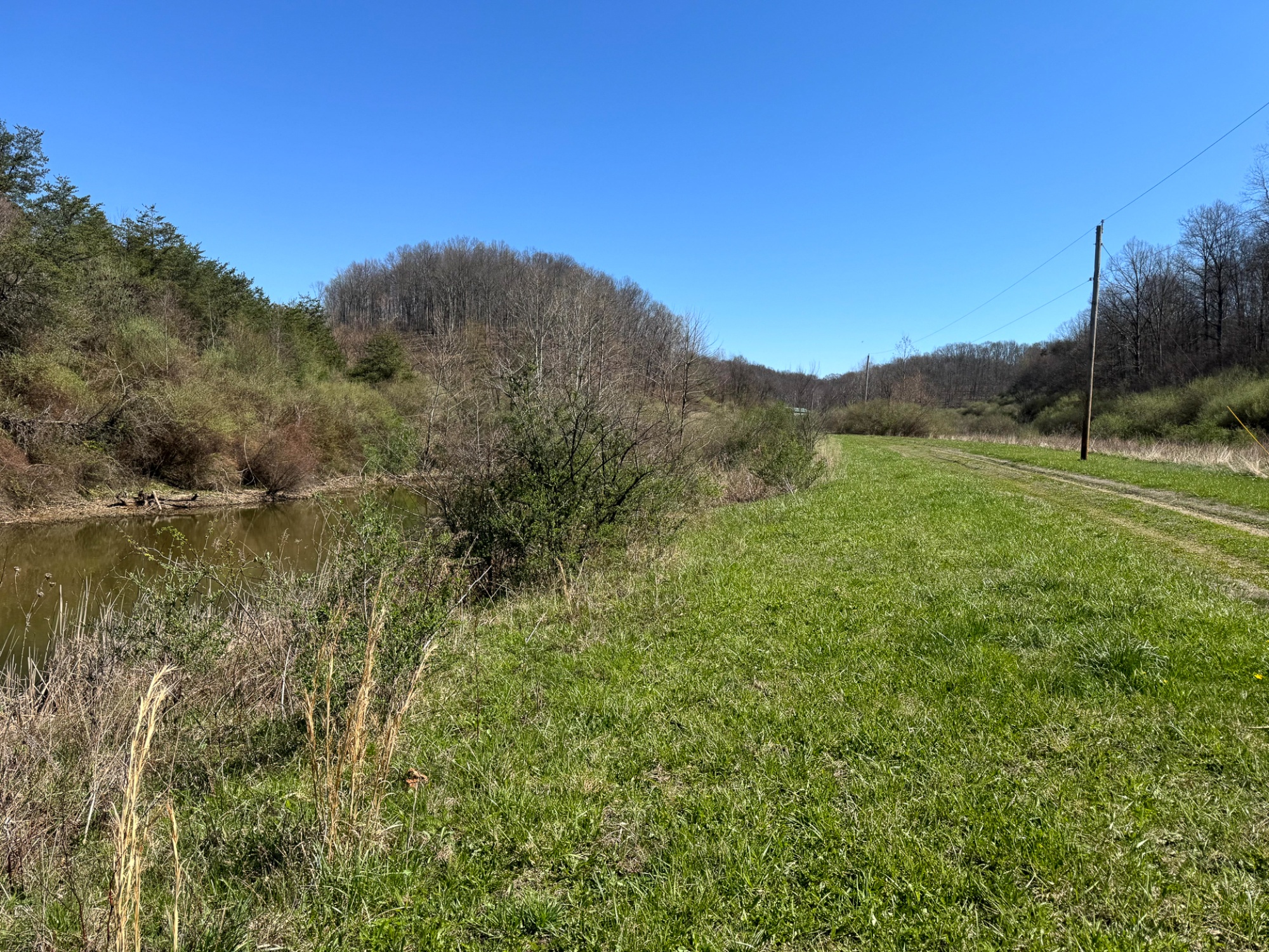
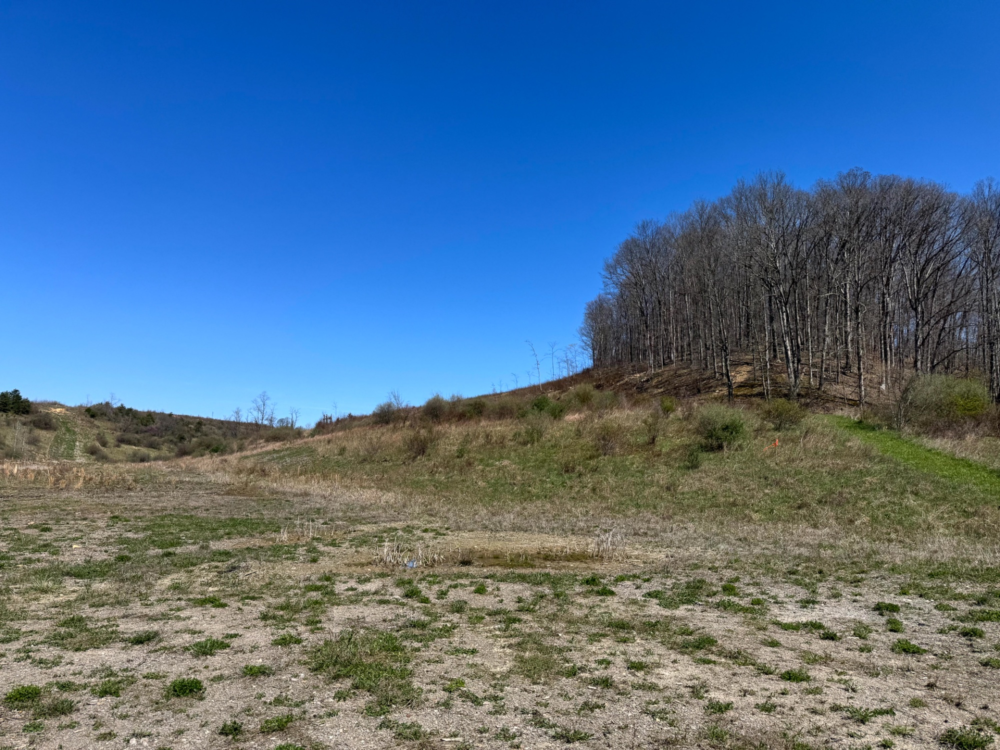
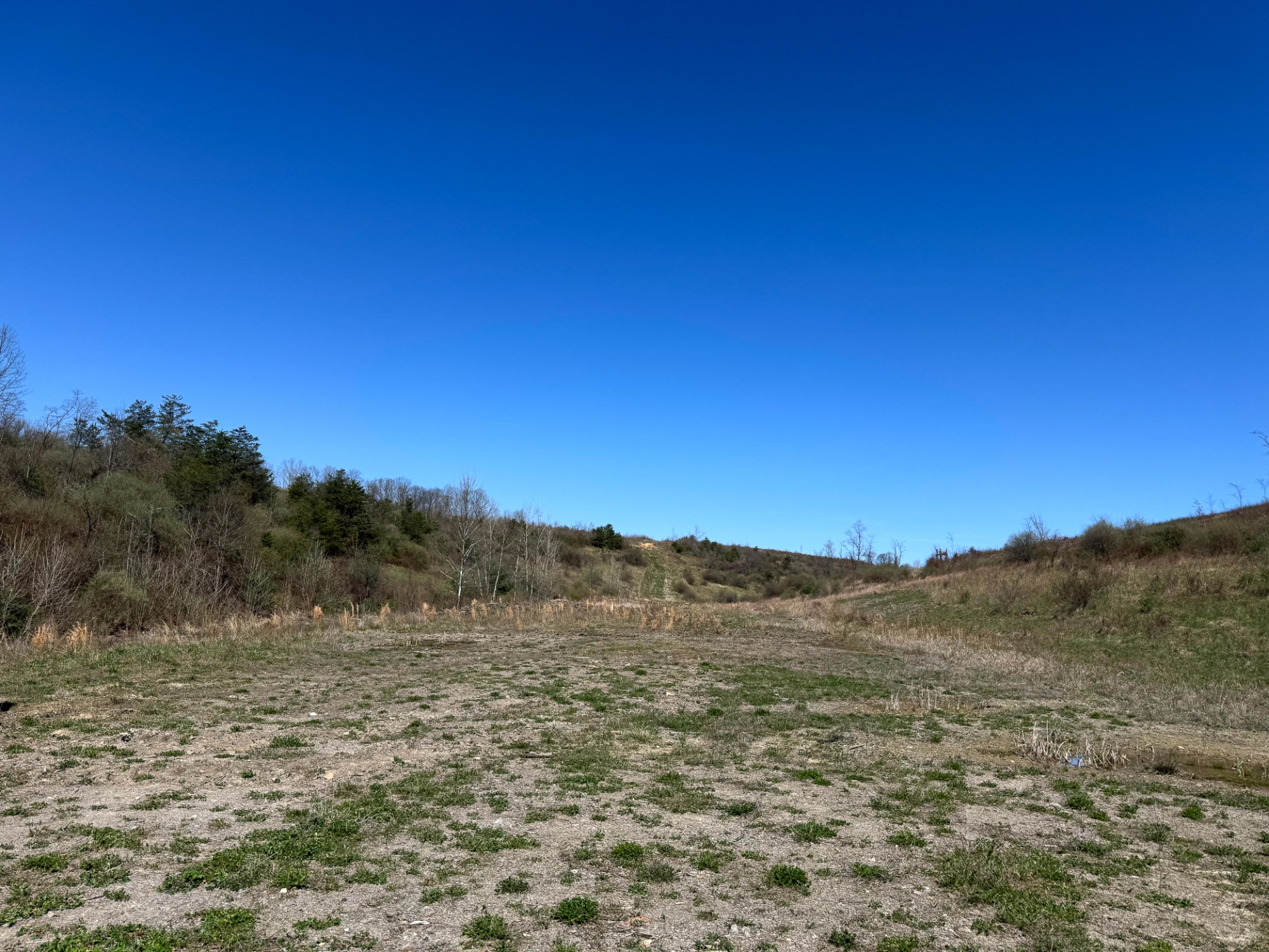
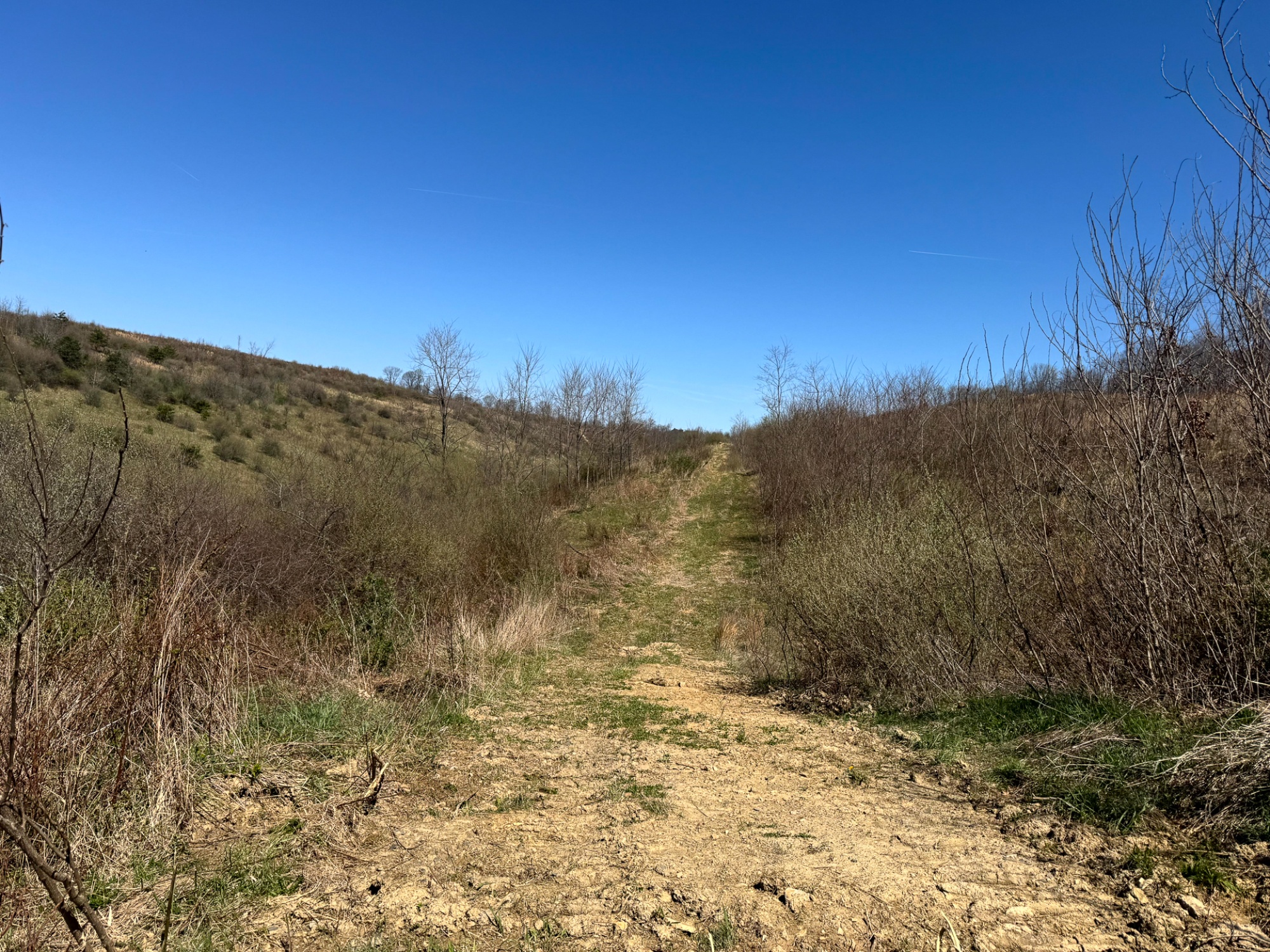
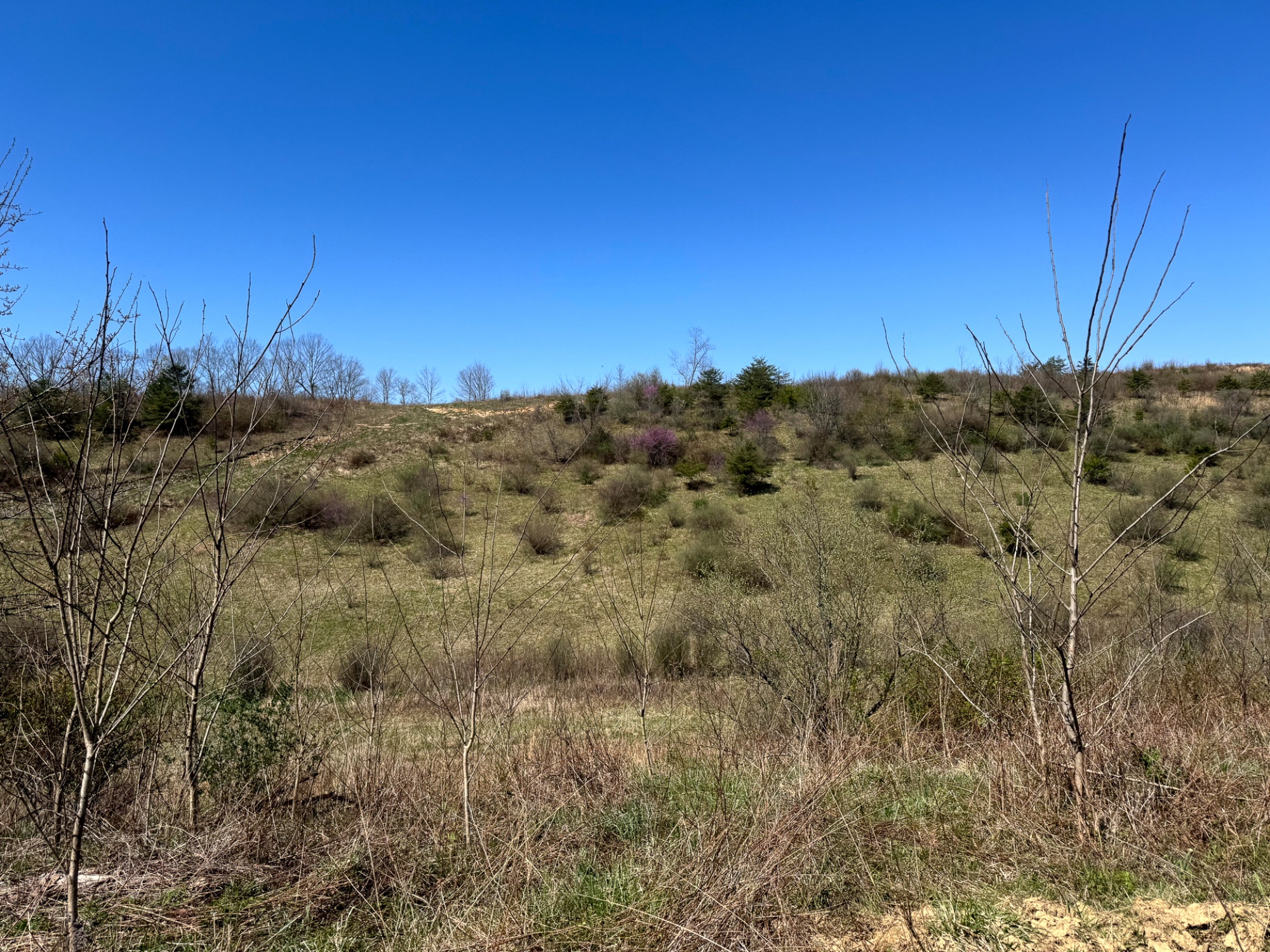
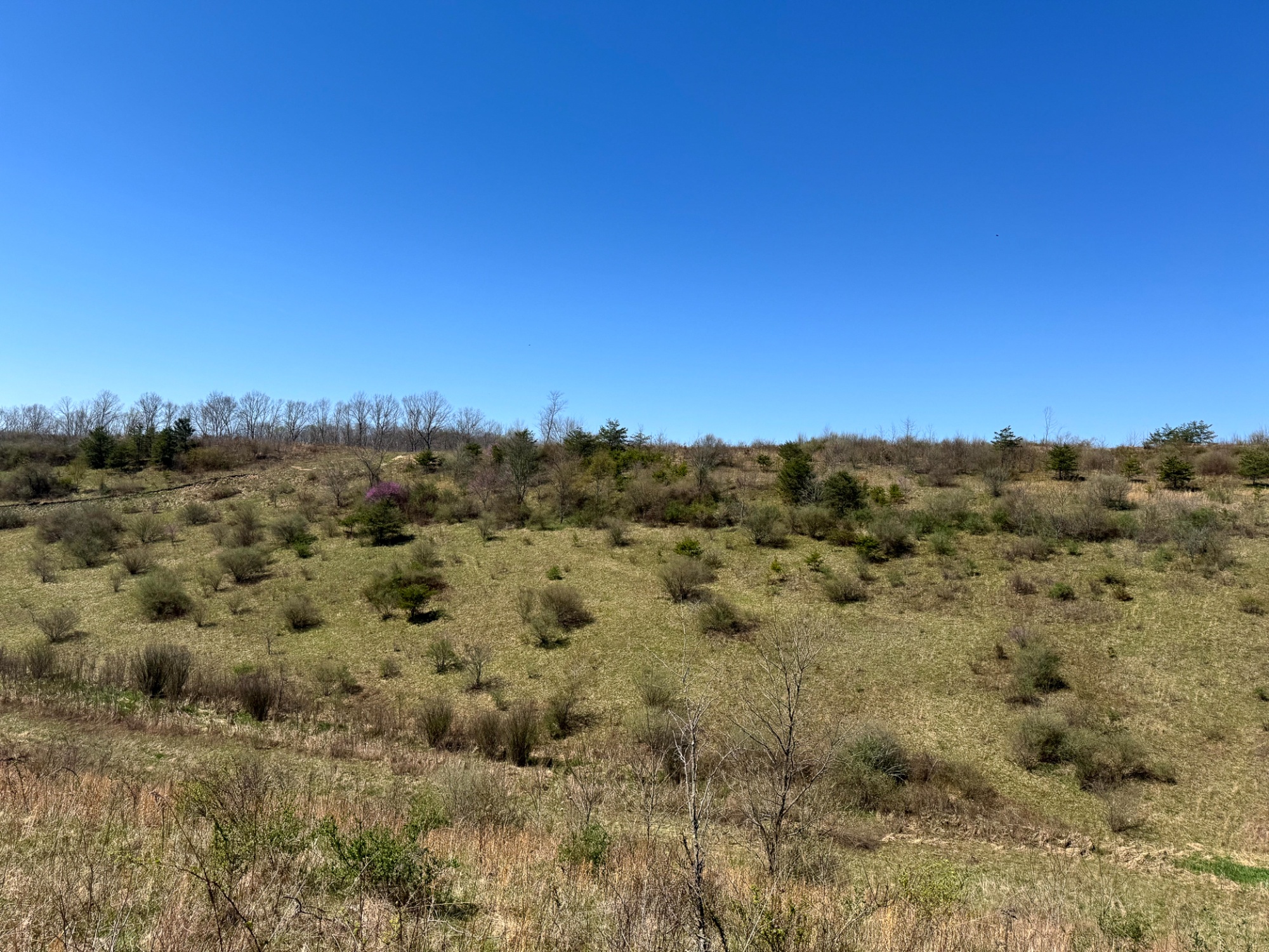
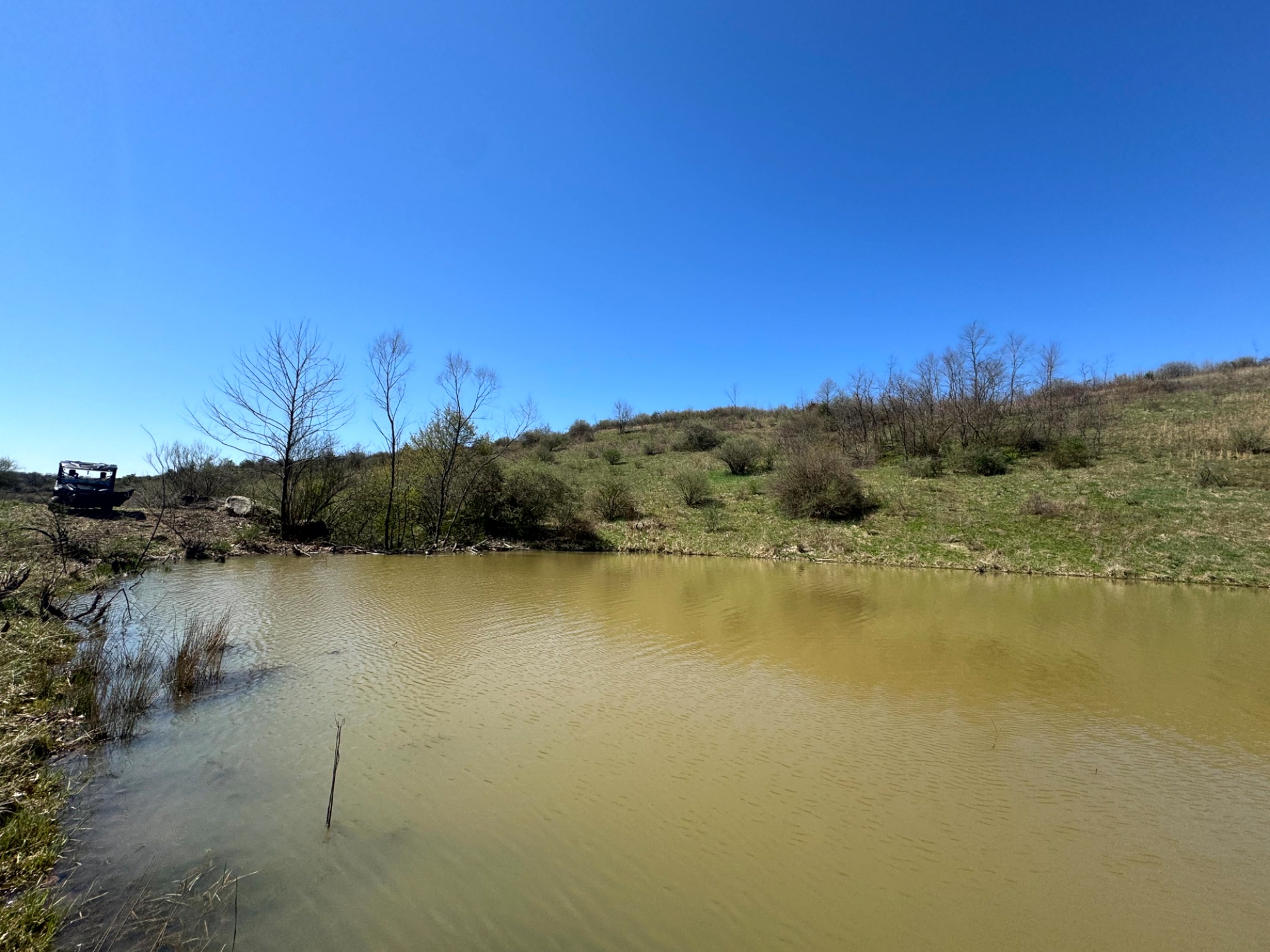
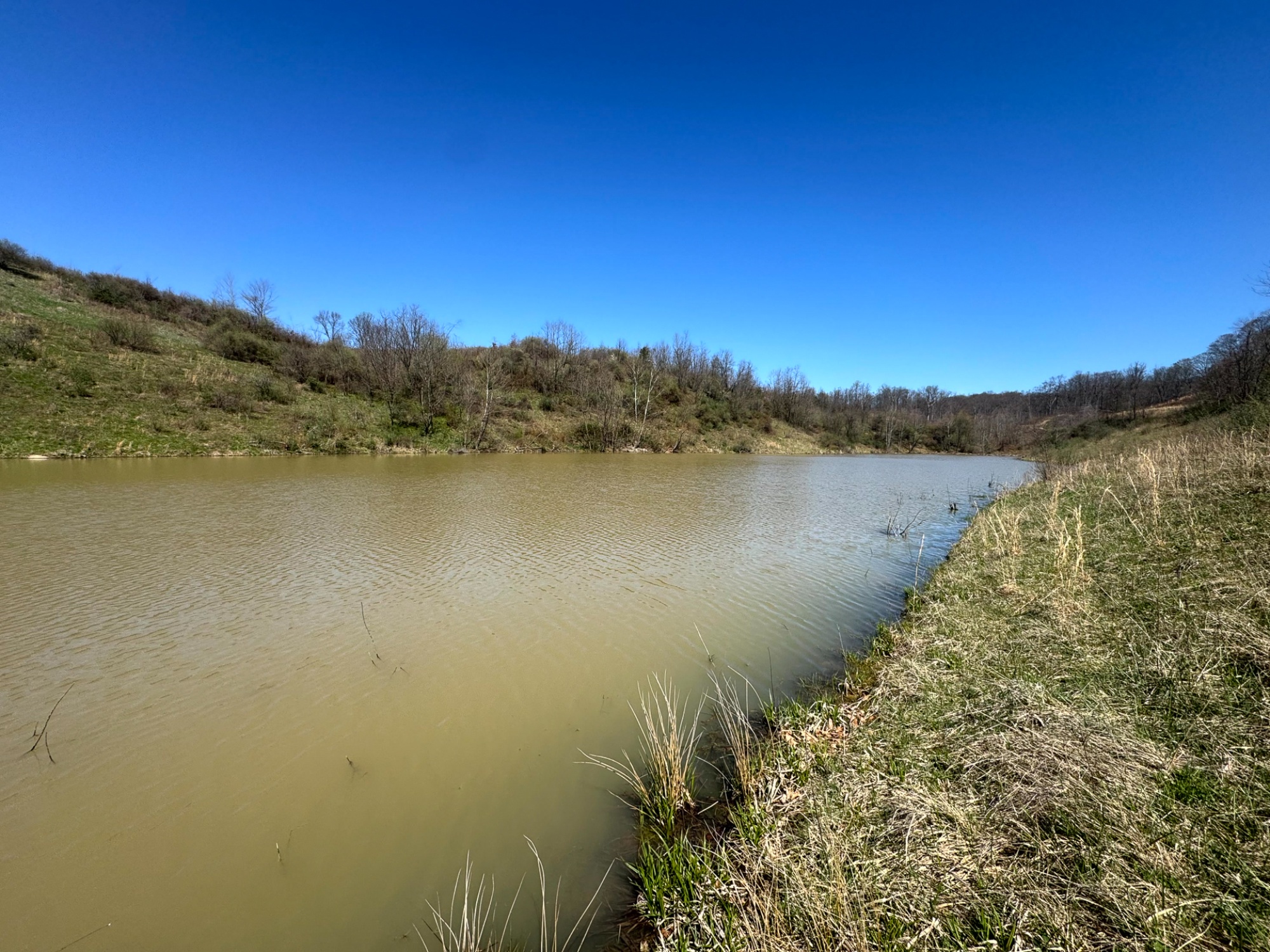
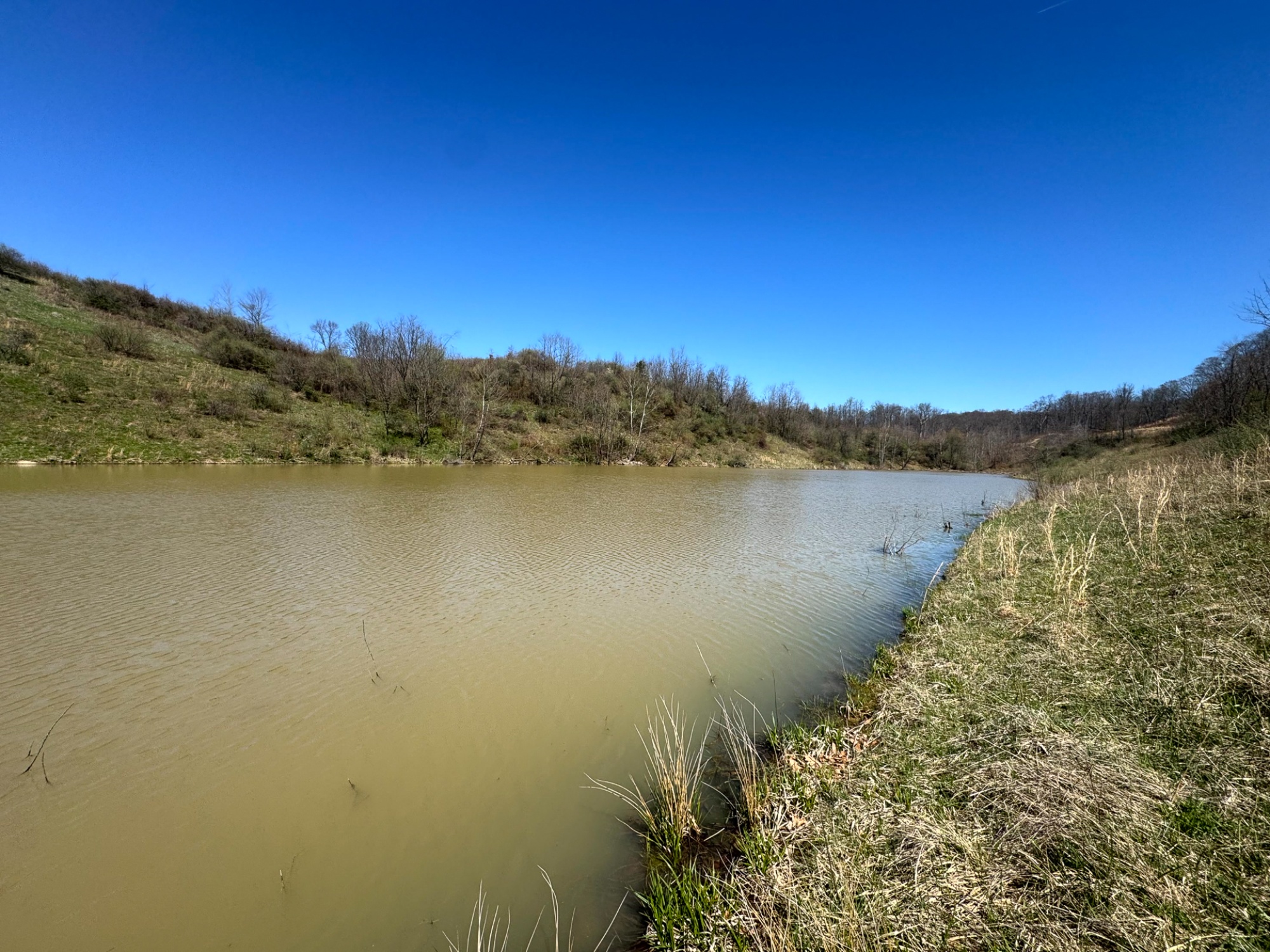
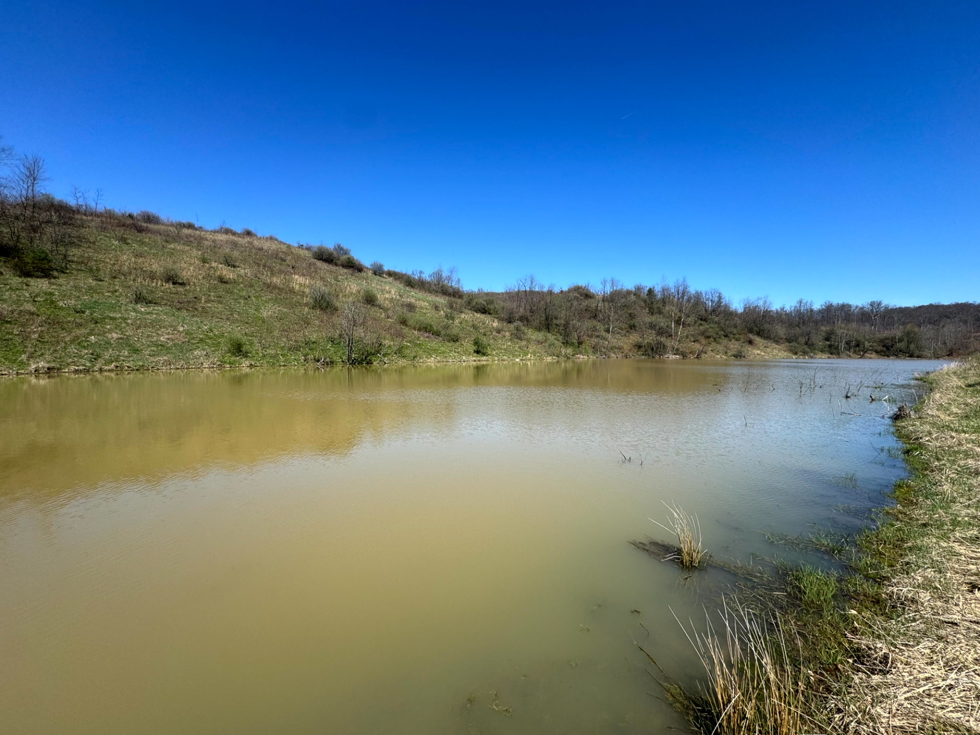
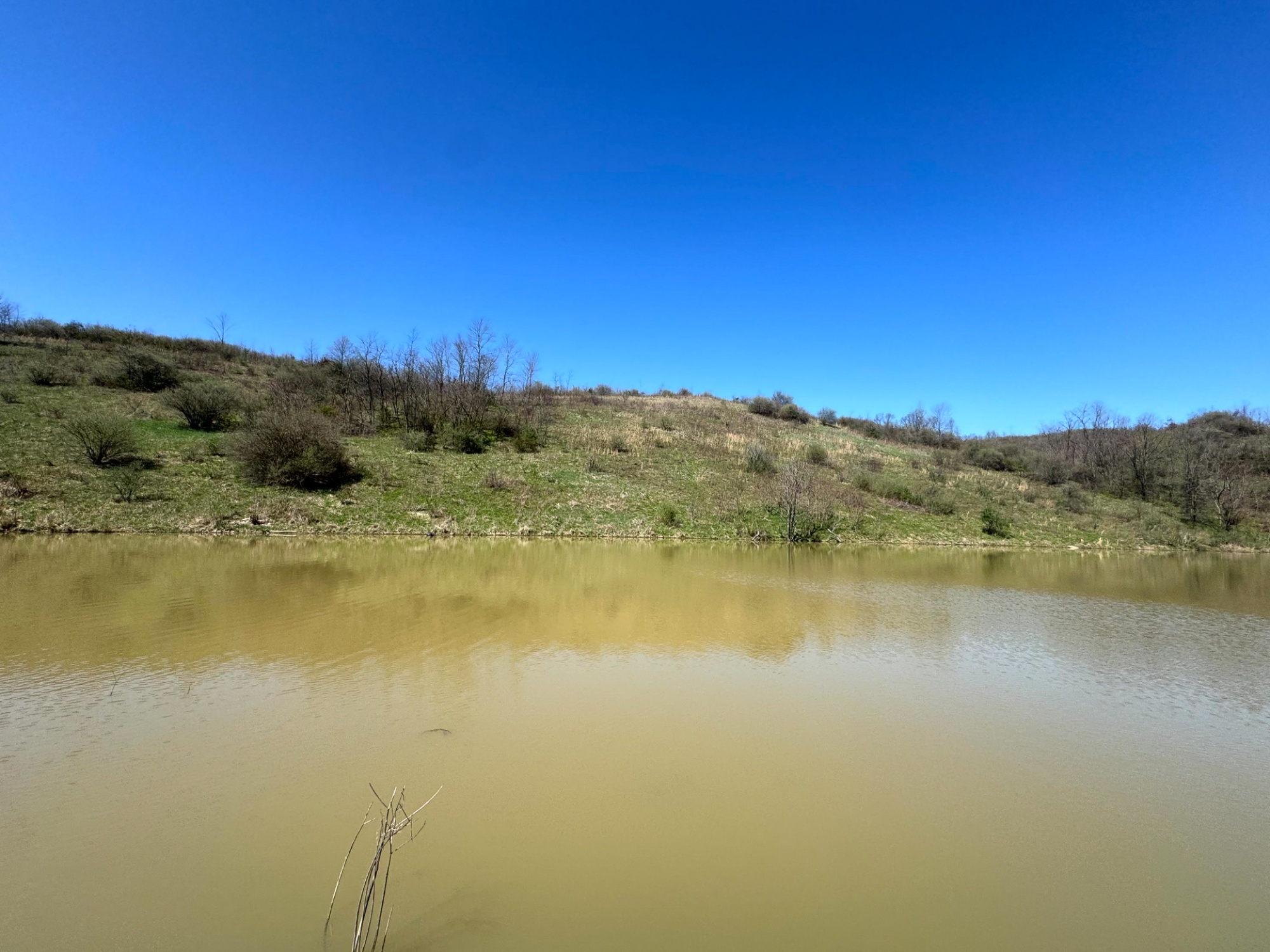
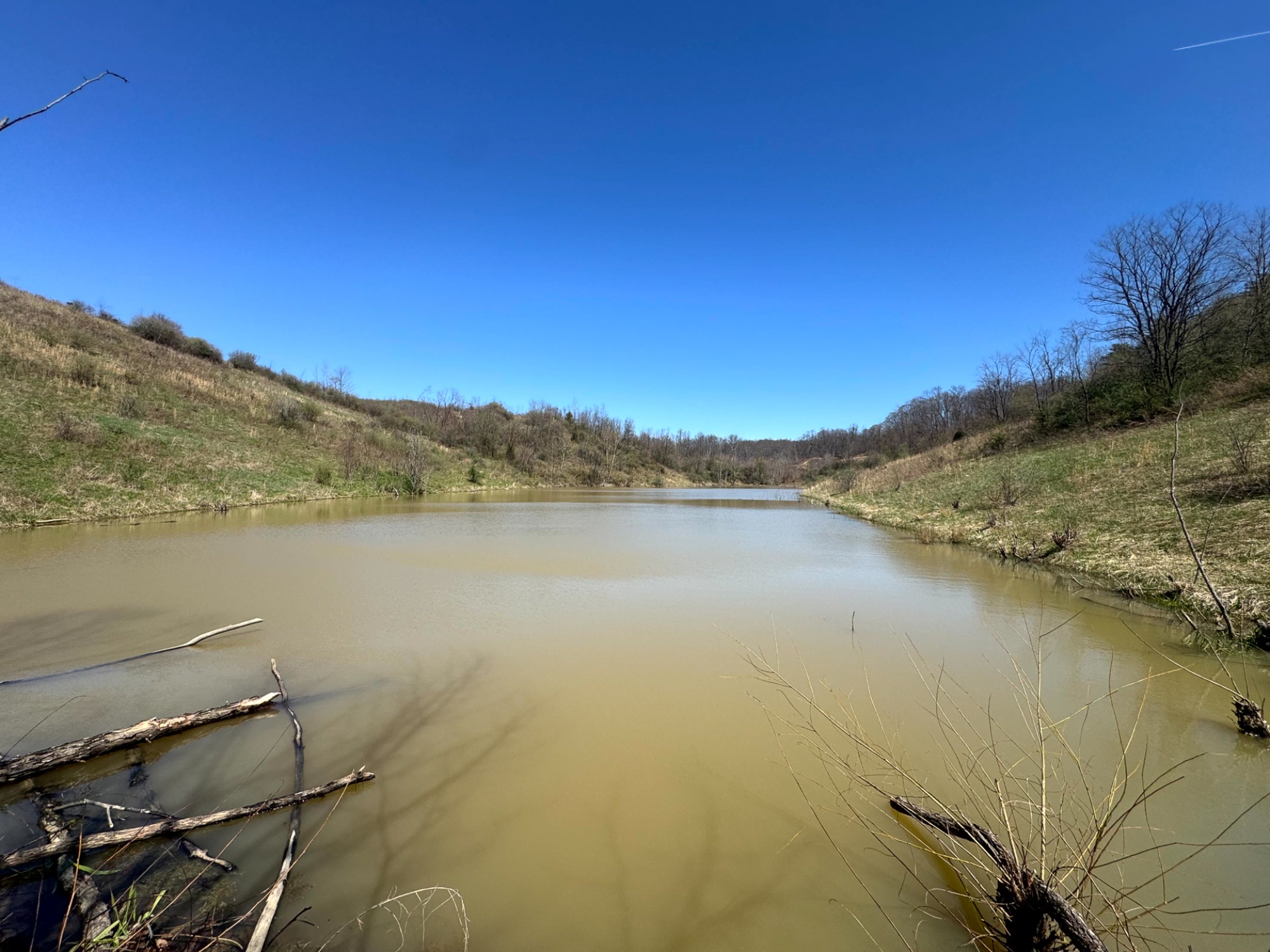
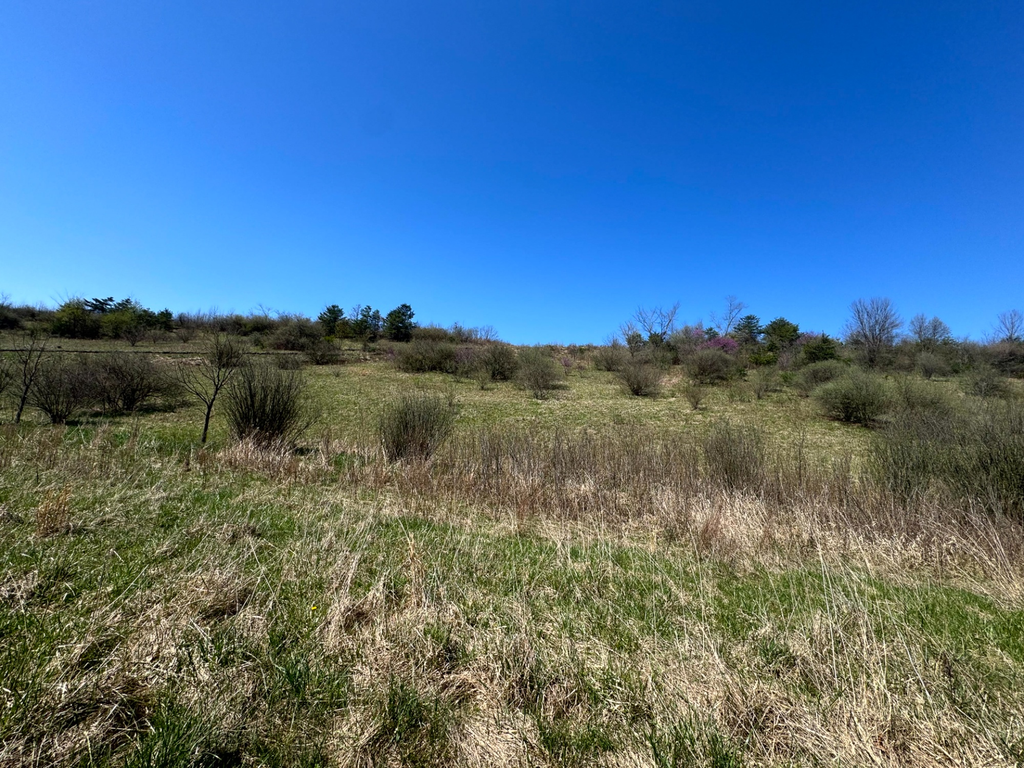
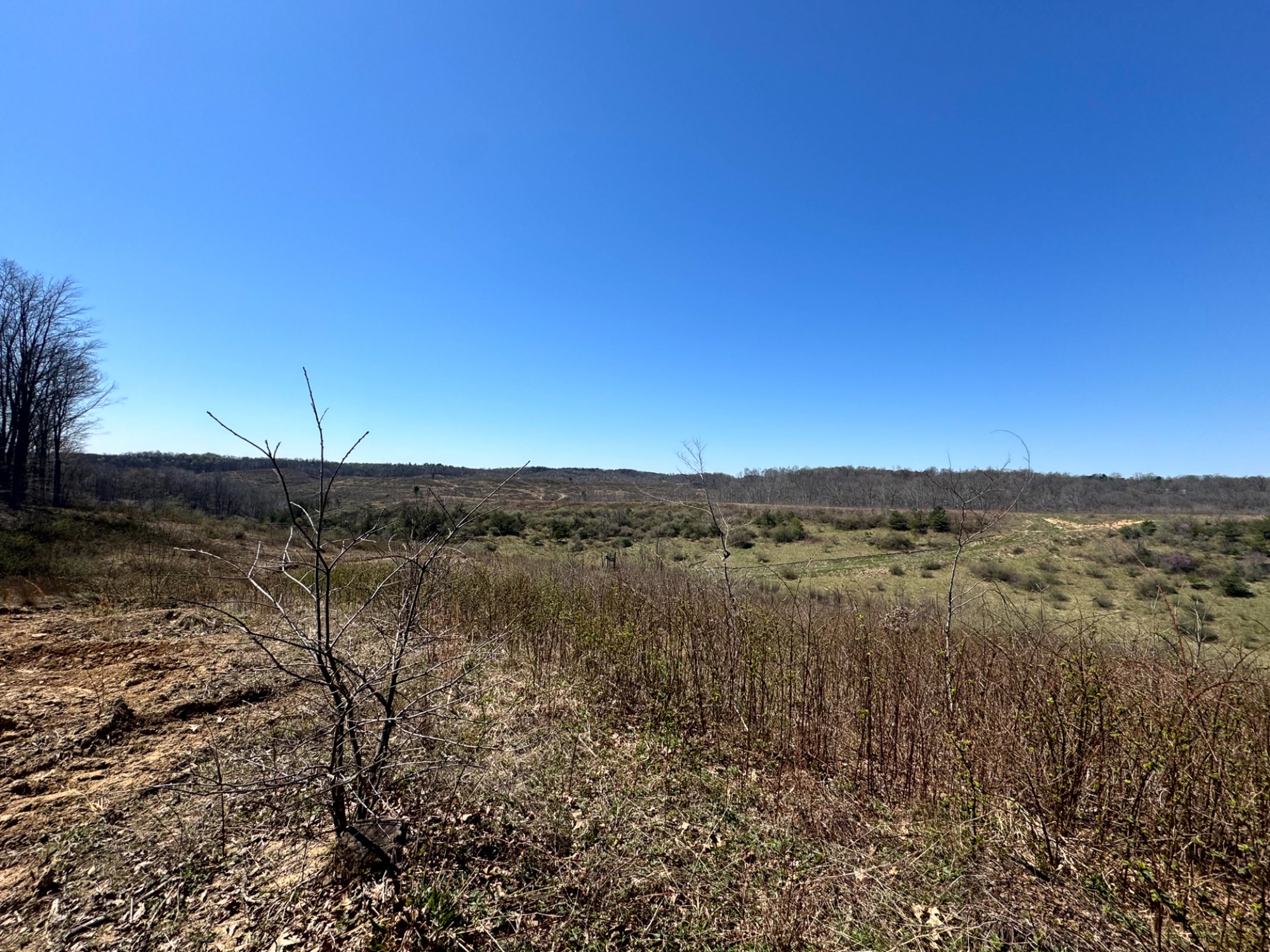
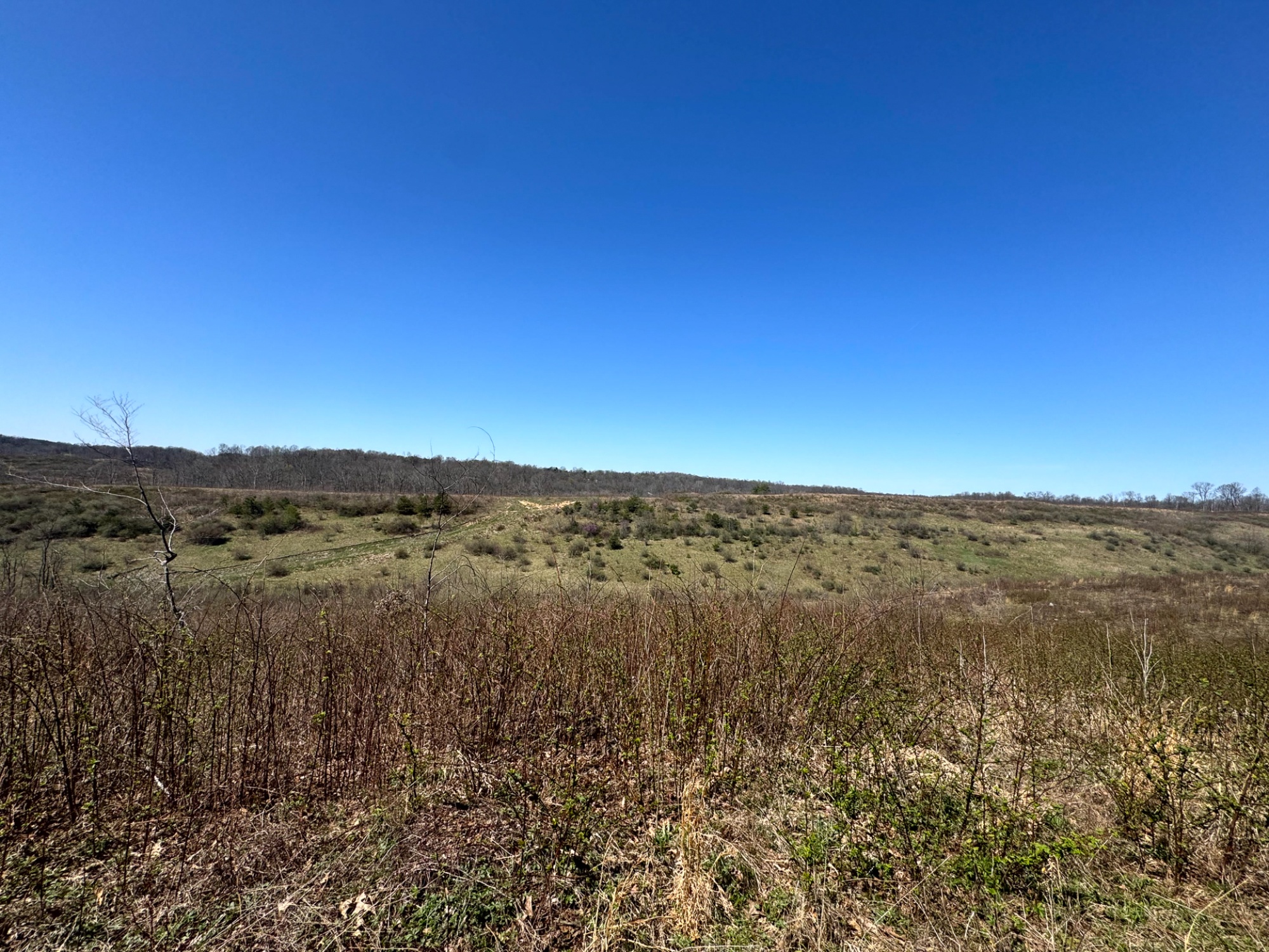
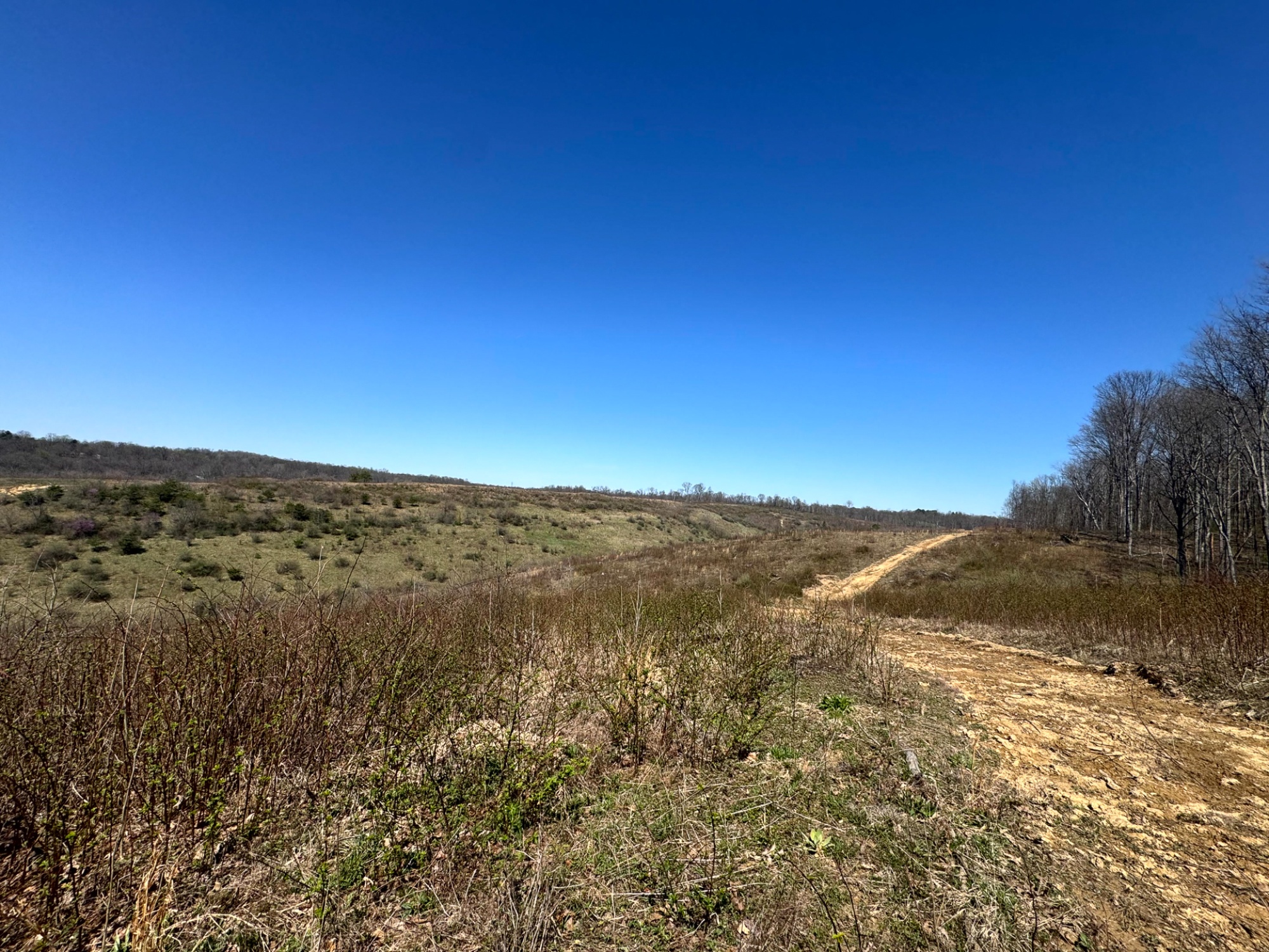
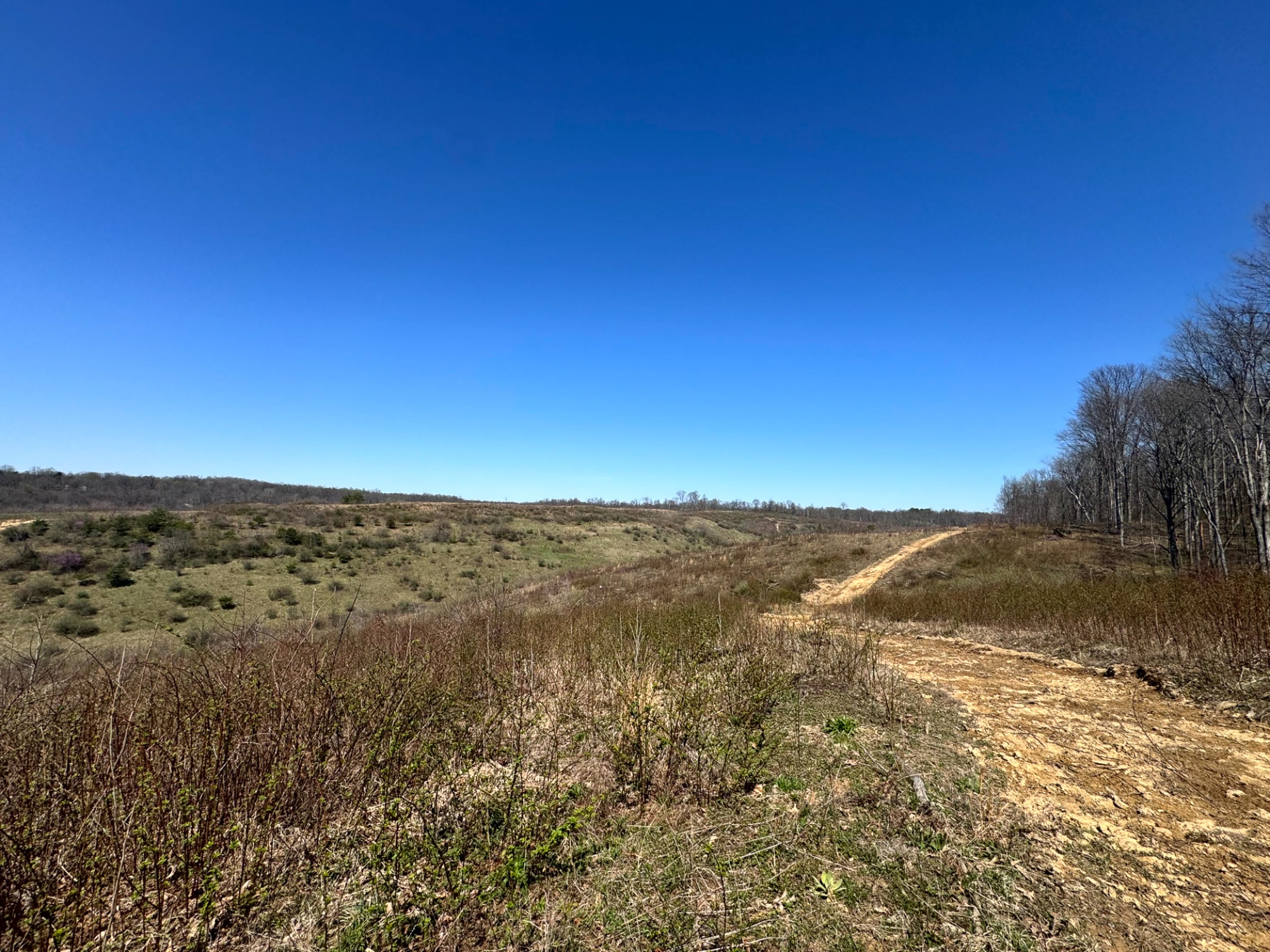
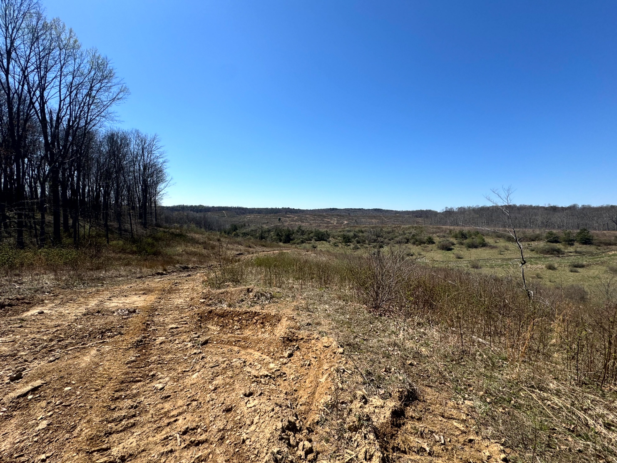
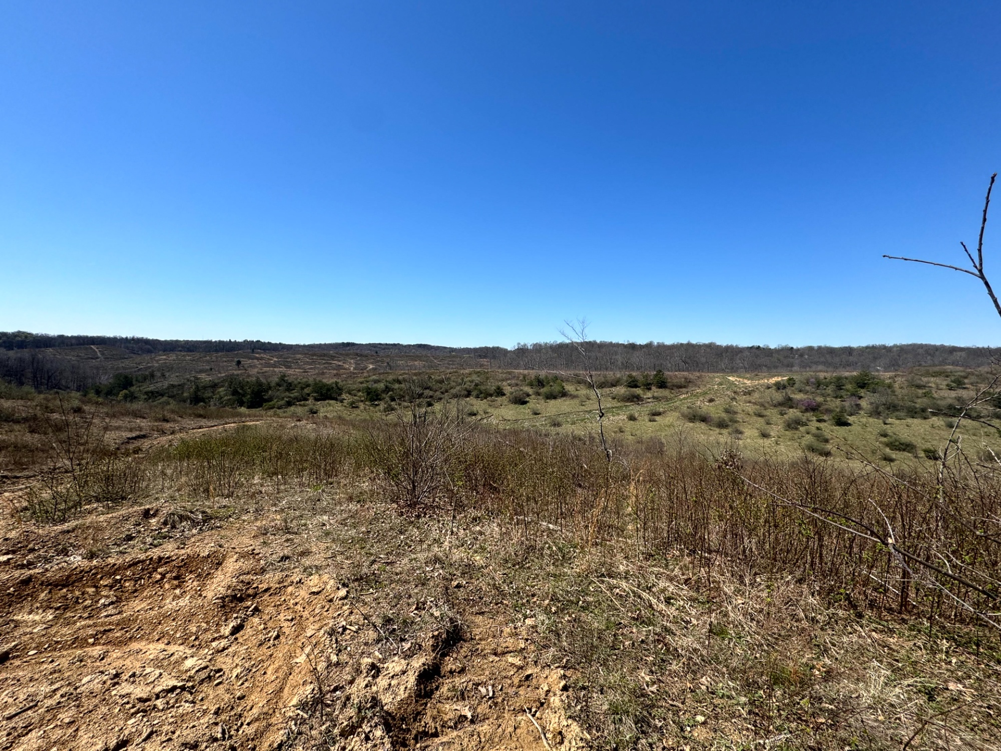
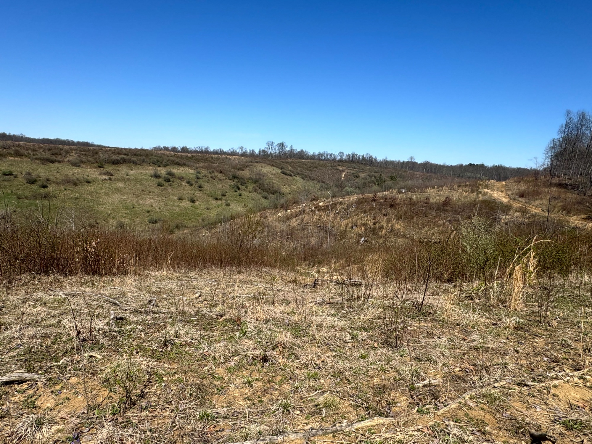
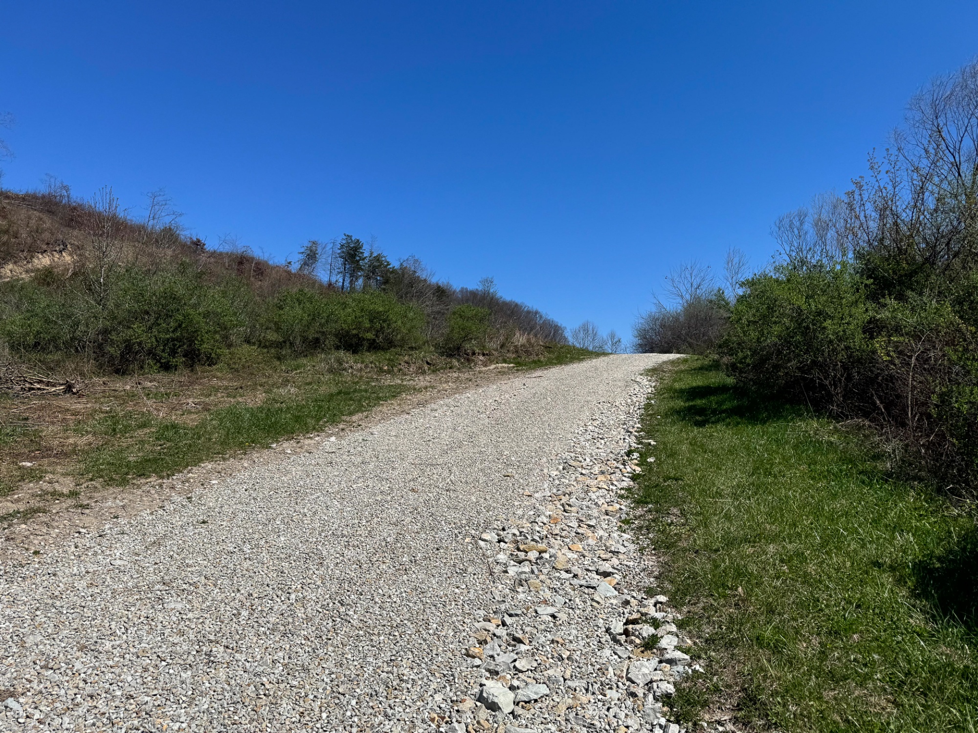
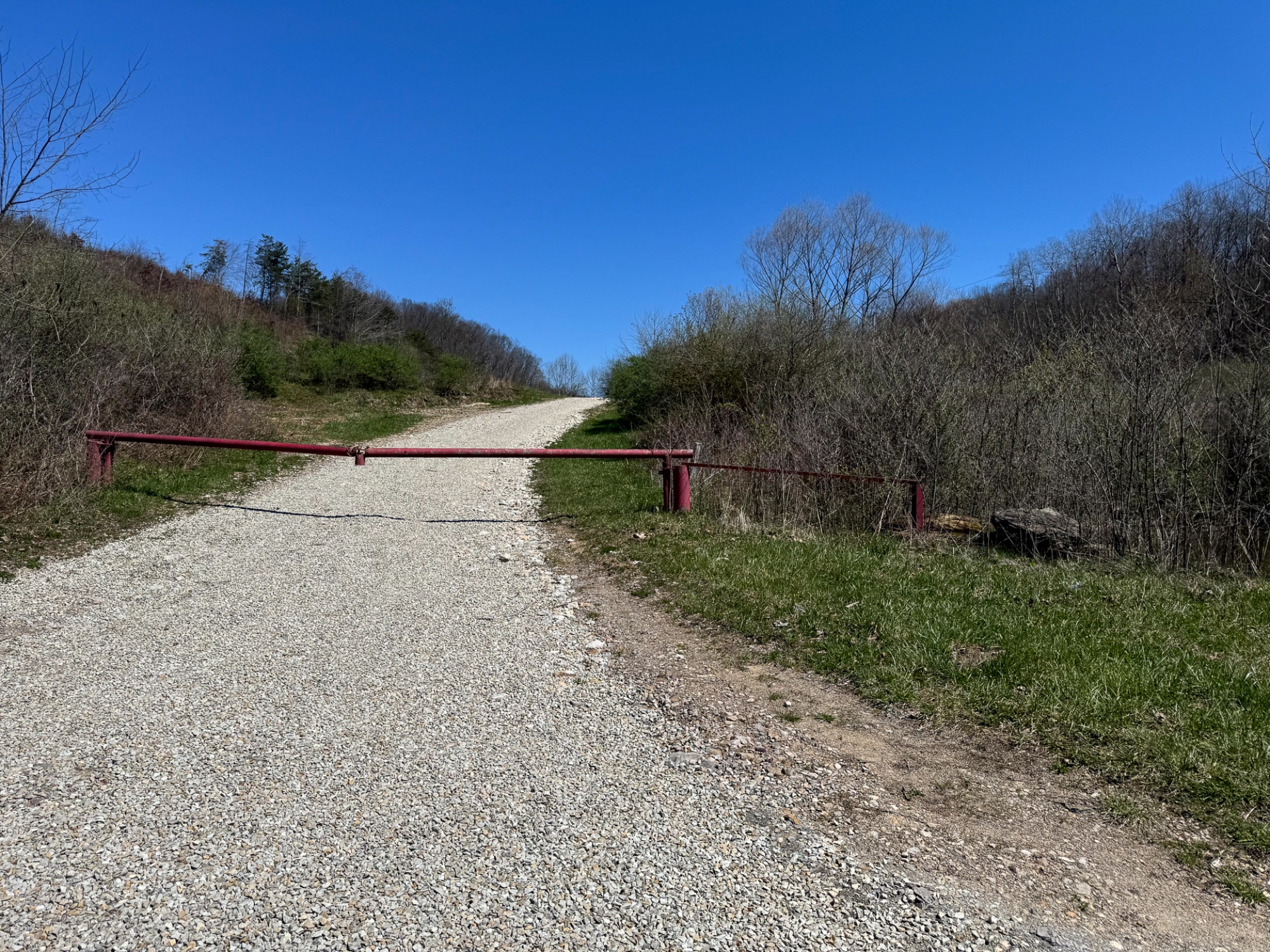
105 acres of rolling Perry County ground with a beautiful 3.1-acre pond, flowing creek, and direct proximity to Wayne National Forest — an outstanding opportunity for the buyer seeking a private recreational retreat, hunting property, or long-term land investment. Tucked along Sulphur Spring Road in Saltlick Township, this tract offers the kind of privacy, scale, and natural character that is increasingly hard to find. An extensive private trail system, built from preexisting logging roads, winds throughout the property and makes it easy to explore by ATV, hike the ridges, or find key hunting areas across the farm. Rolling topography creates stunning views and offers an excellent layout for a future cabin or home with walkout basement potential. The large pond and creek add both beauty and function, while the mix of cover, water, and terrain creates ideal habitat for deer, turkey, and other wildlife. Located just 1 mile from Wayne National Forest and only 8 miles from the New Straitsville OHV Trailhead with 75 miles of ATV trails, the recreational opportunities here extend far beyond the property lines. With AEP electric available at the road, no zoning, no deed restrictions, oil and gas rights transferring, and additional acreage available, this ±105-acre tract is a rare chance to own a versatile piece of Southeast Ohio ground with exceptional potential.
Sulphur Spring is located:
0 Sulphur Spring Rd SE, New Lexington, OH 43764
GPS Coordinates: 39.62287, -82.176949
Countrytyme Maps and Additional Information
A Countrytyme advantage
Take the property lines into the field.
On your phone, tap Walk property lines, allow your location when asked, and follow the blue dot in Tract Explorer to see your position in relation to the mapped boundary while you explore.
Walk property linesProperty photos