Walk this property with confidence.
Use GPS directions to reach the tract. Then open the property lines on your phone and follow your blue location dot as you walk, so you can see where you are in relation to the boundaries.
Interactive property map
See the land before you visit.
Switch aerial, topographic, soil, water, contour, and terrain layers while the mapped project boundary stays visible.
Property Documents
Property Description
Tract C – Hocking Hideout on Monday Creek22 Ac Wooded Cabin/Home Site or Recreational Retreat
Tucker Rd, Hocking County, Ohio
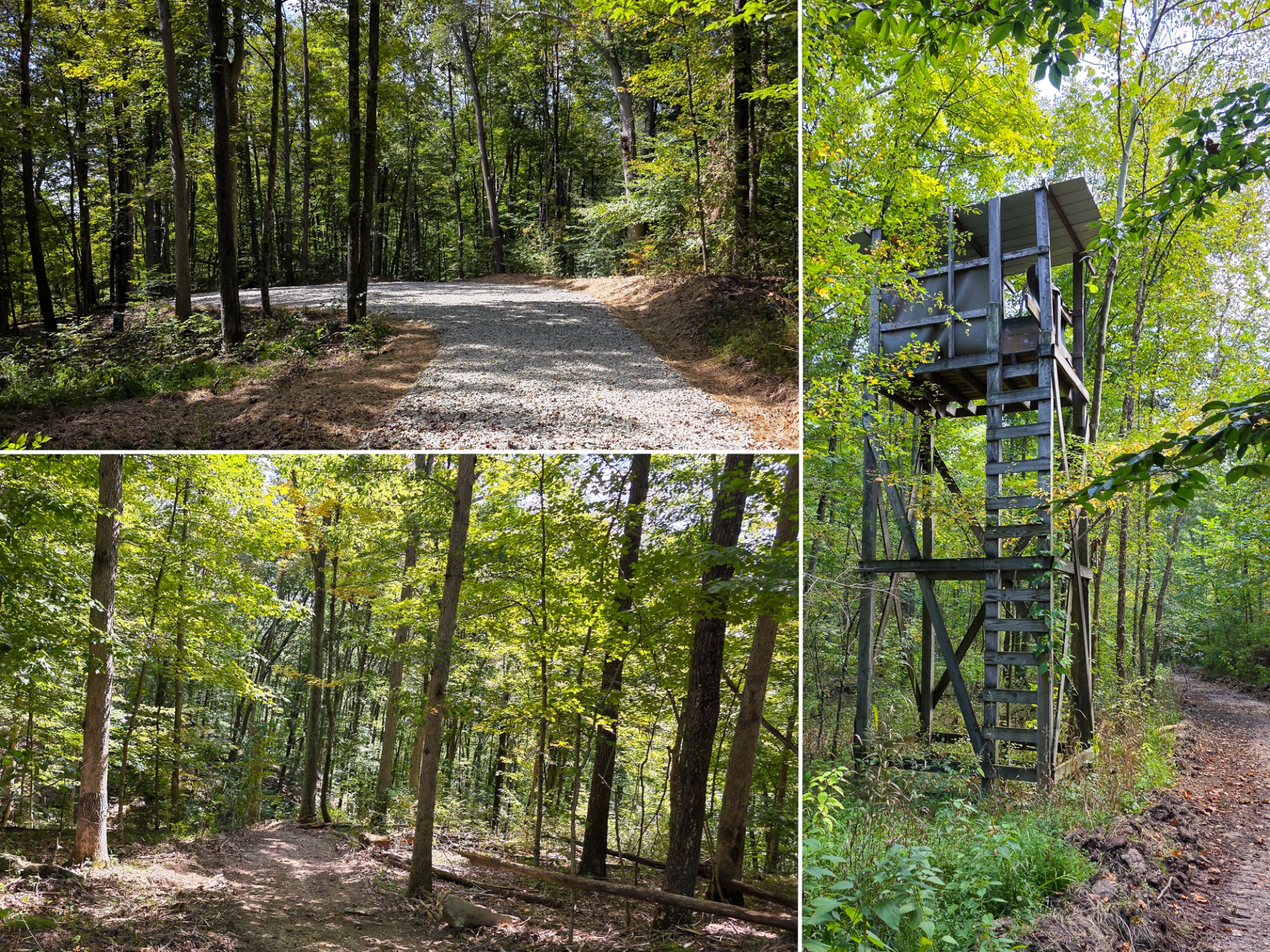
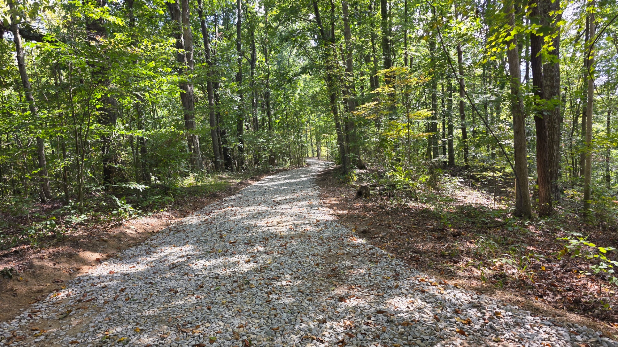
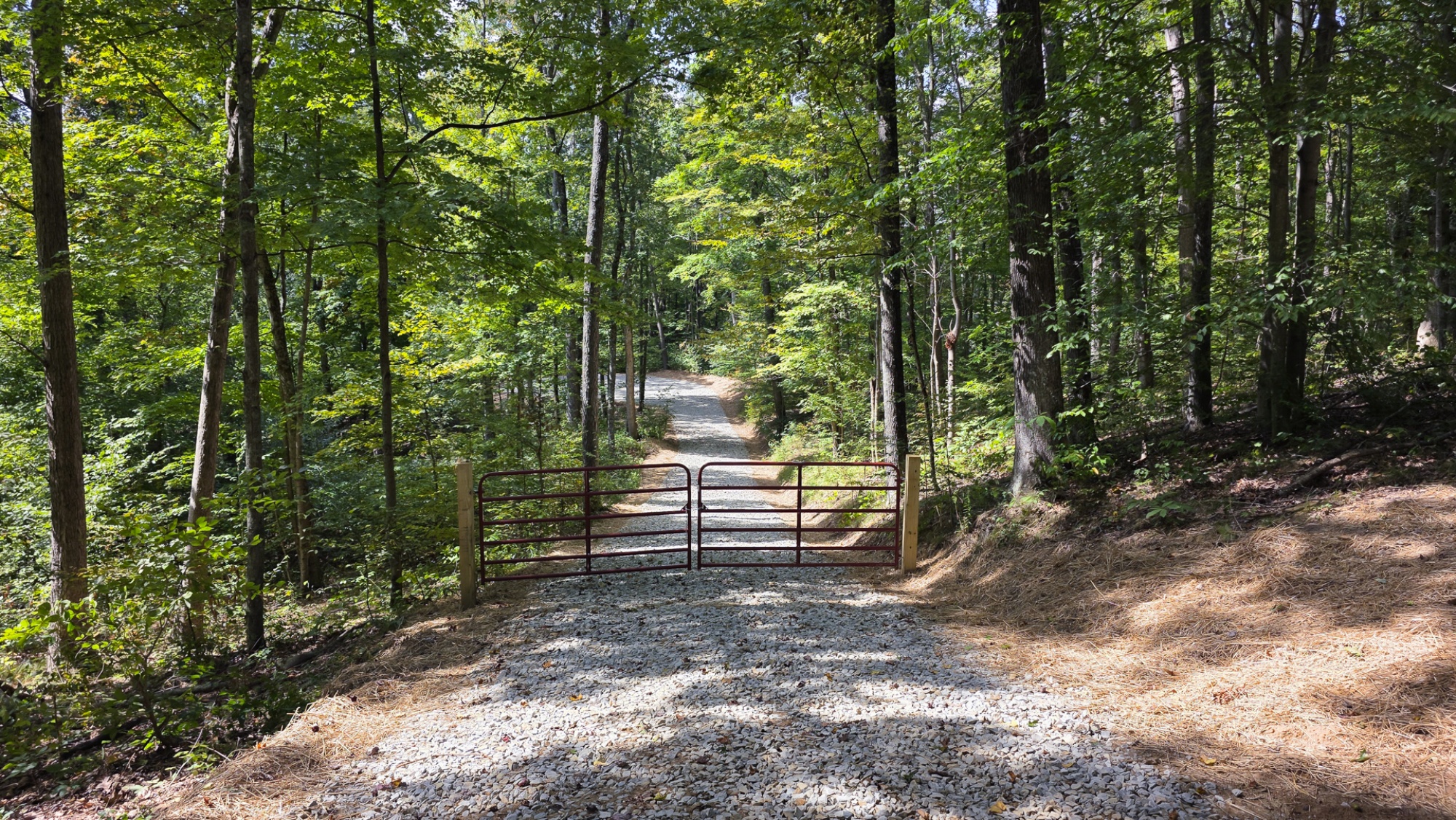
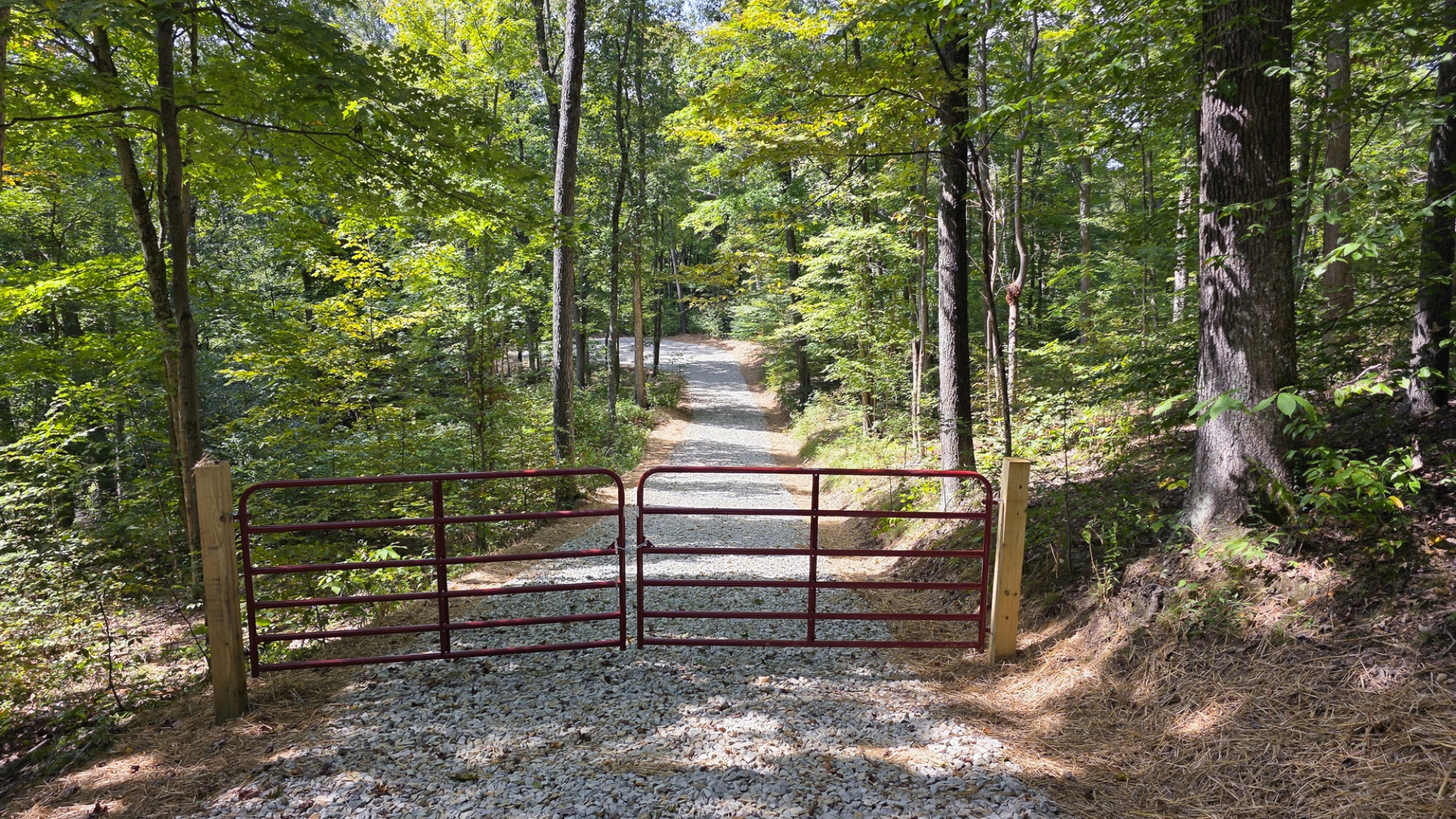
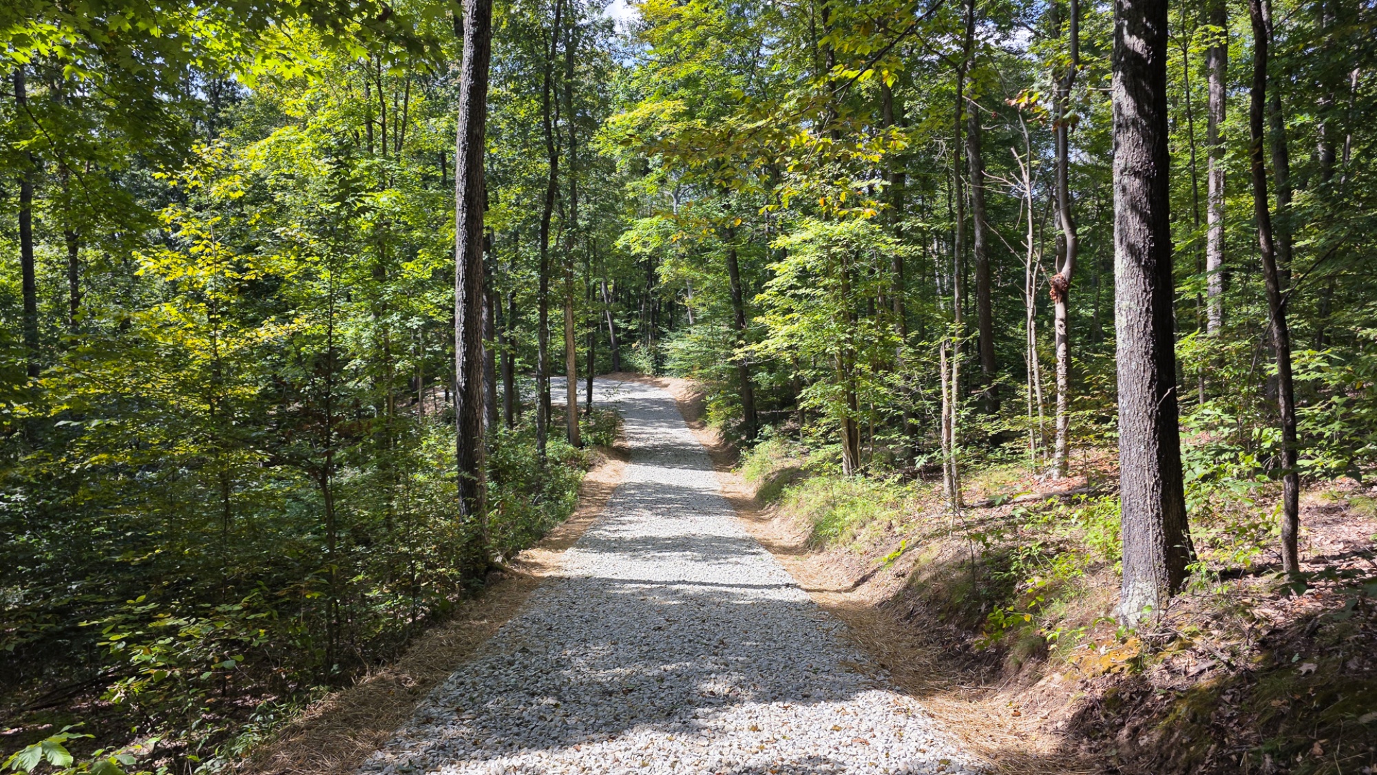
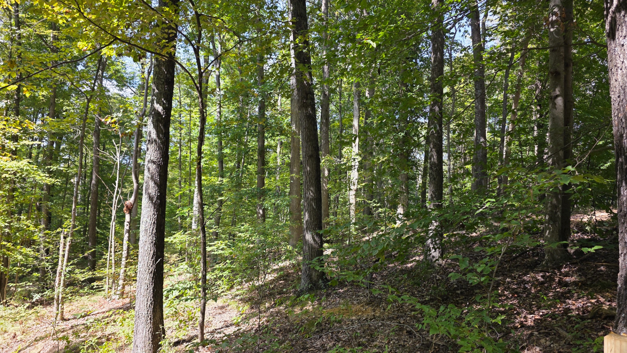
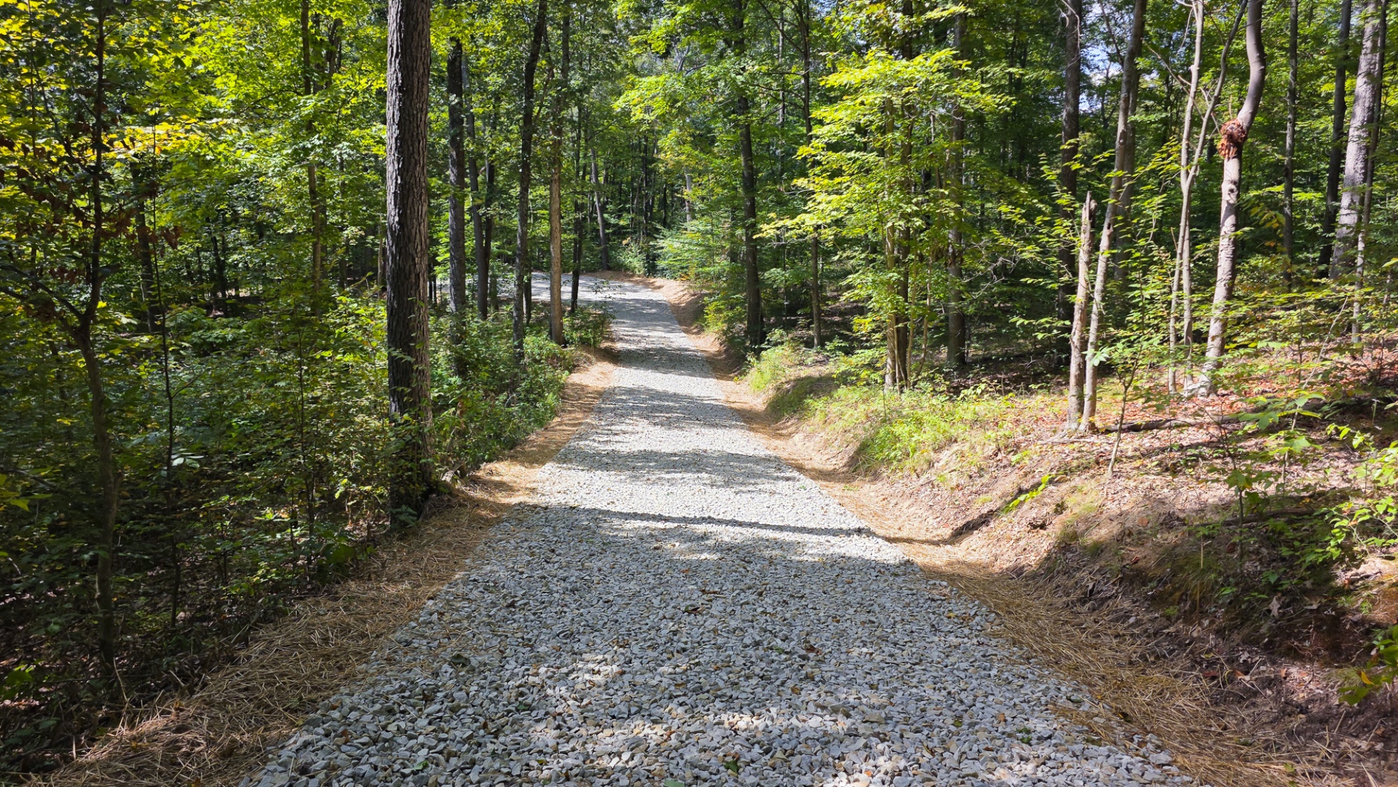
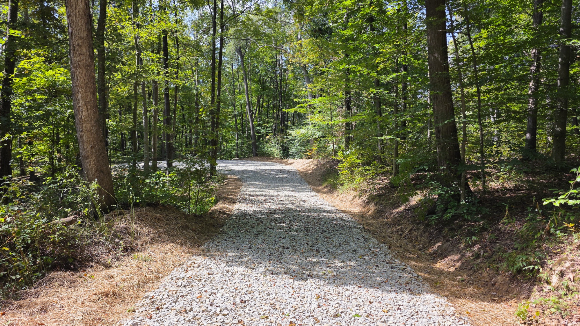
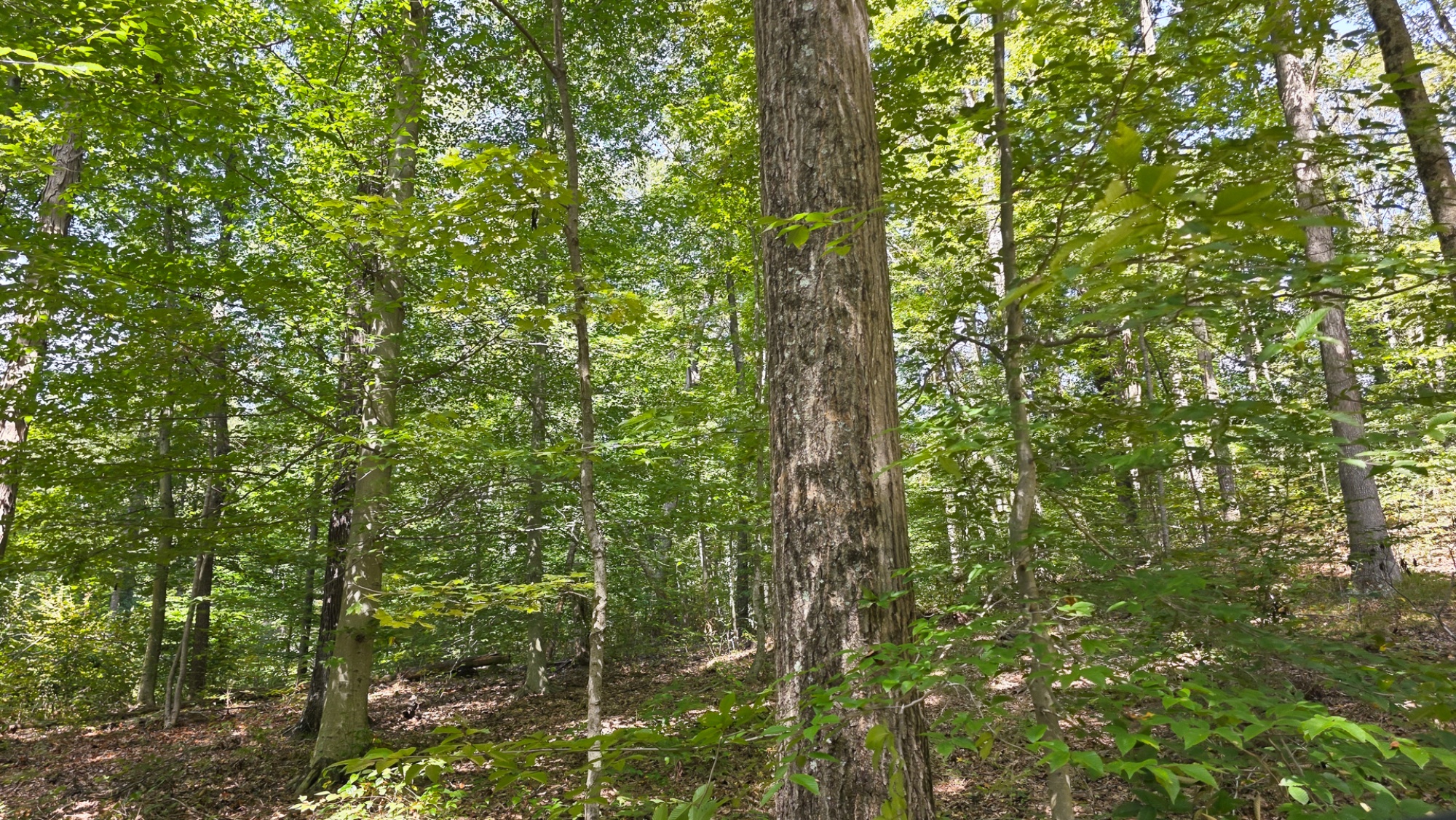
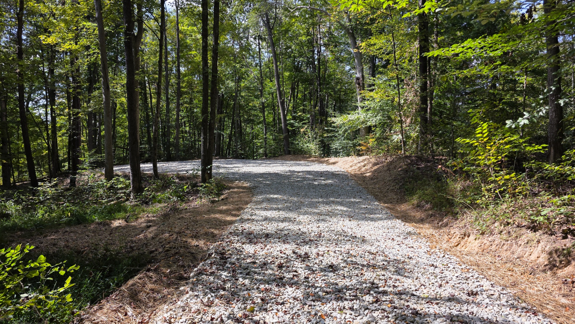
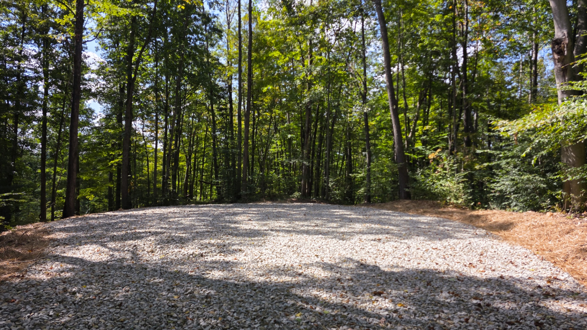
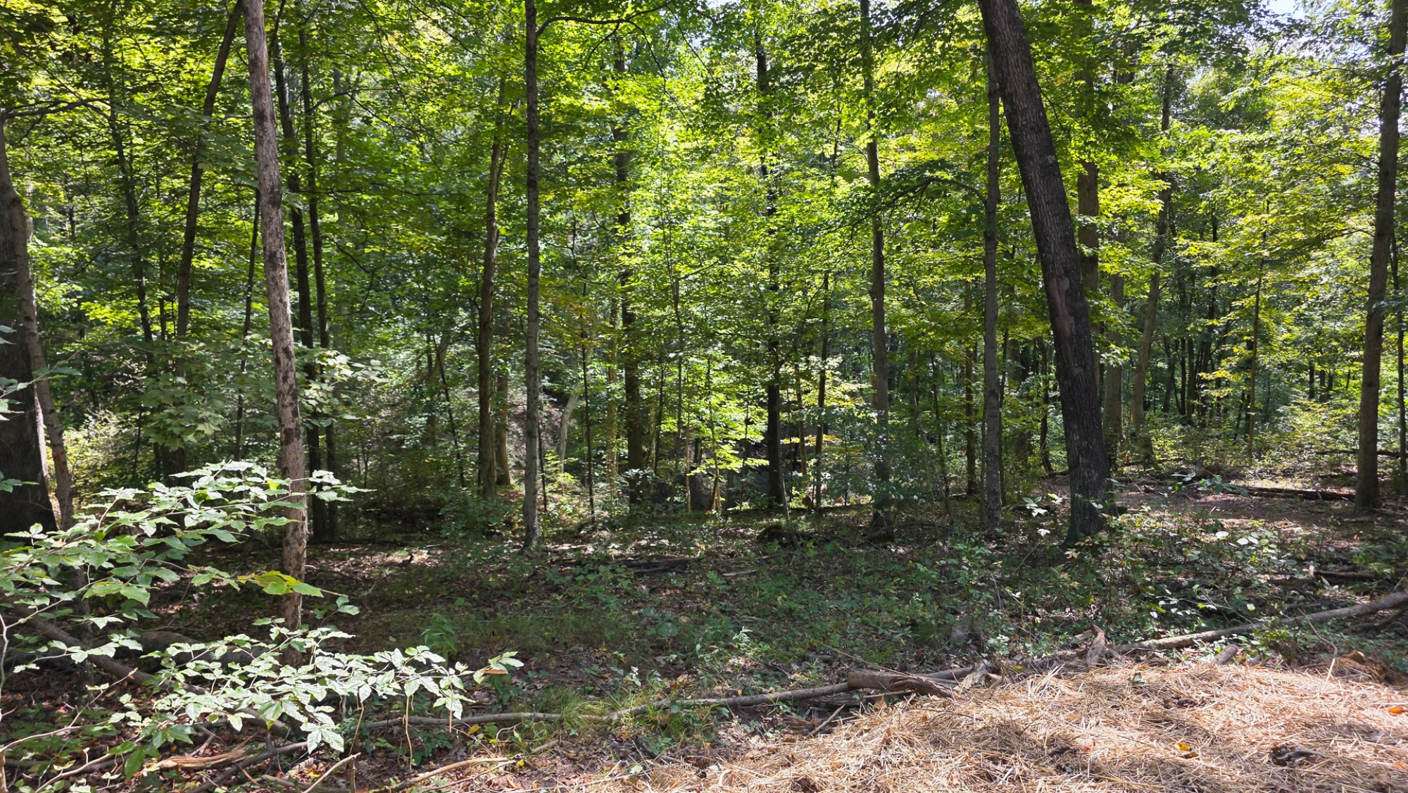
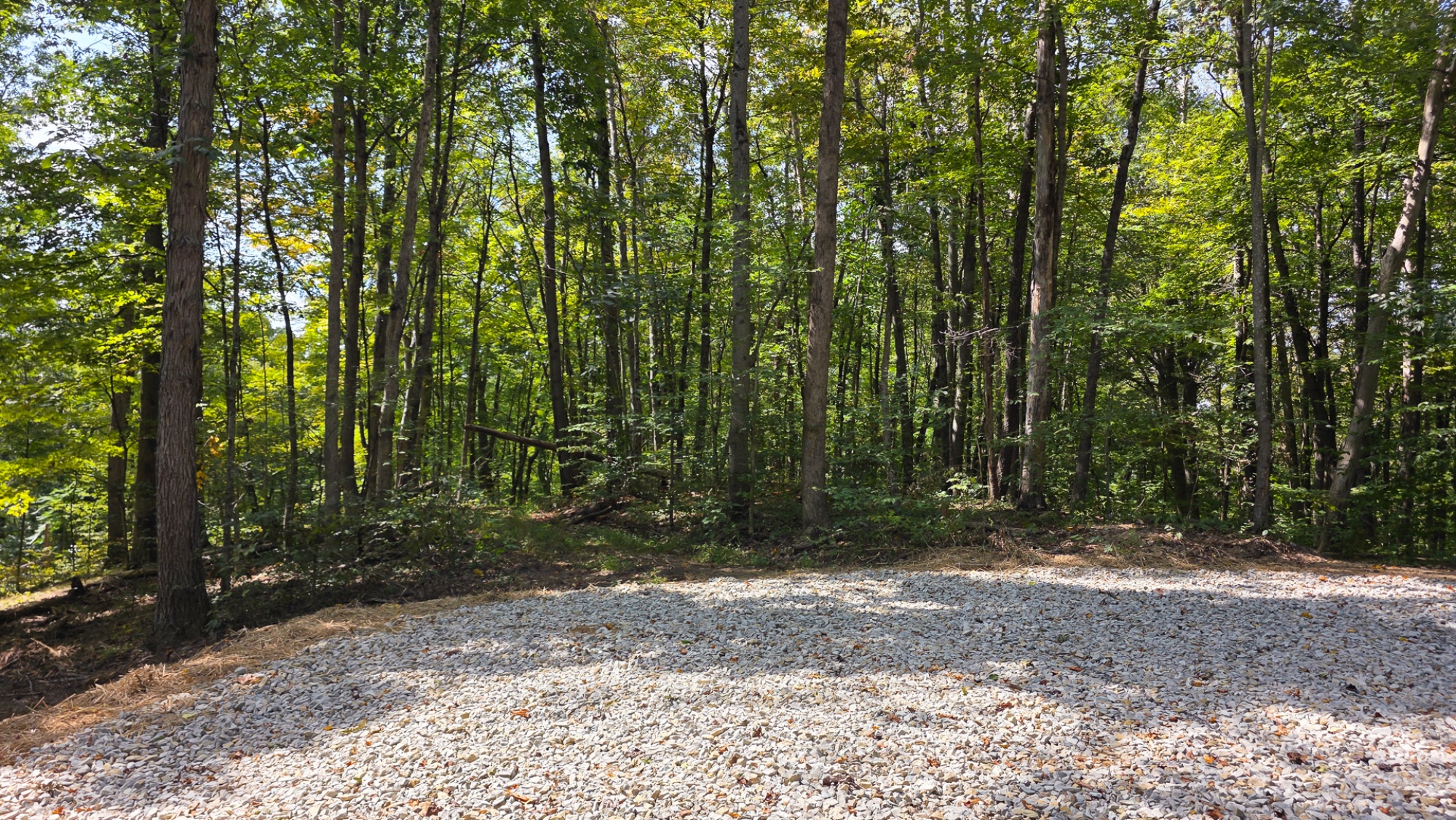
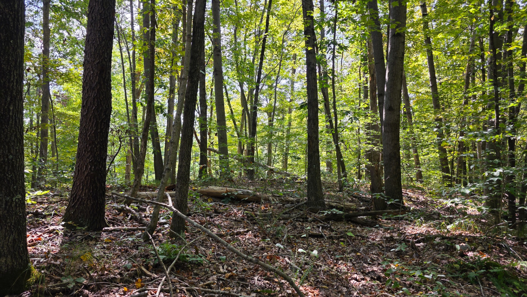
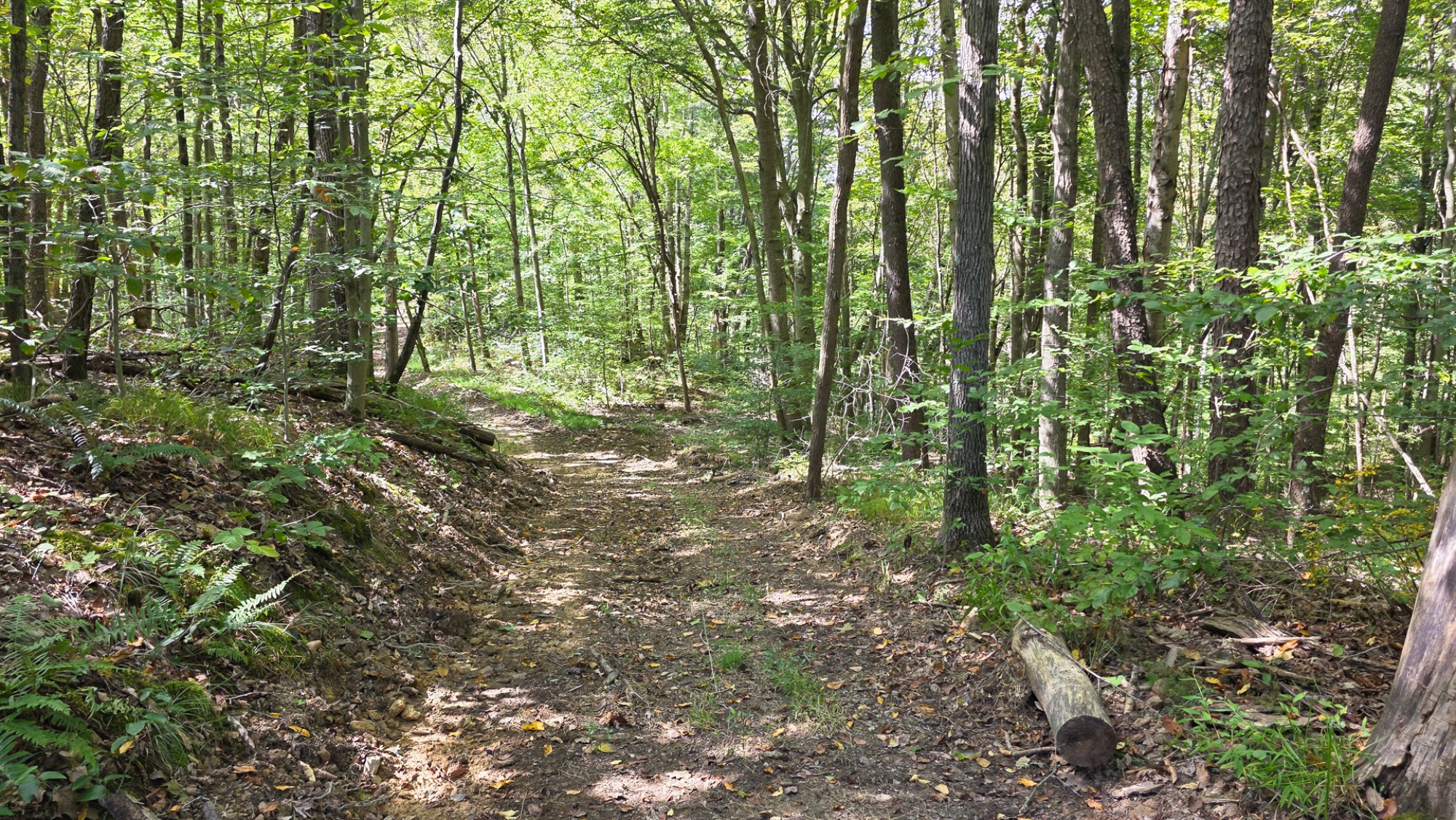
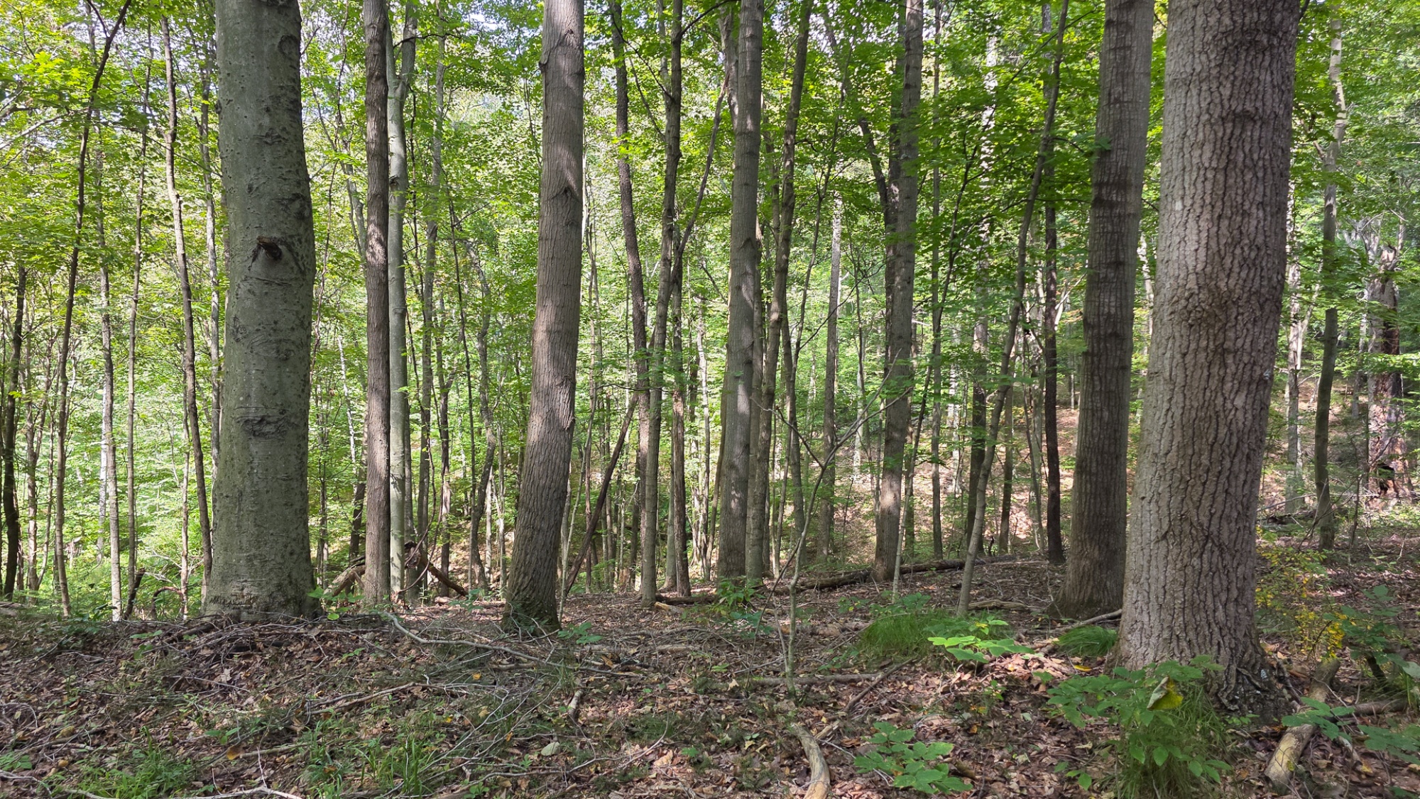
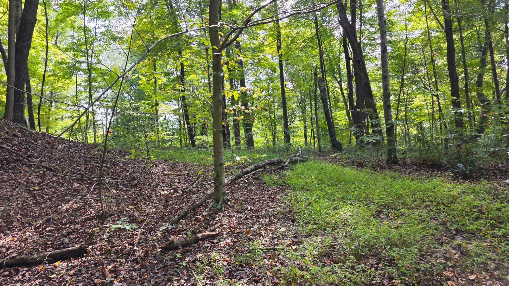
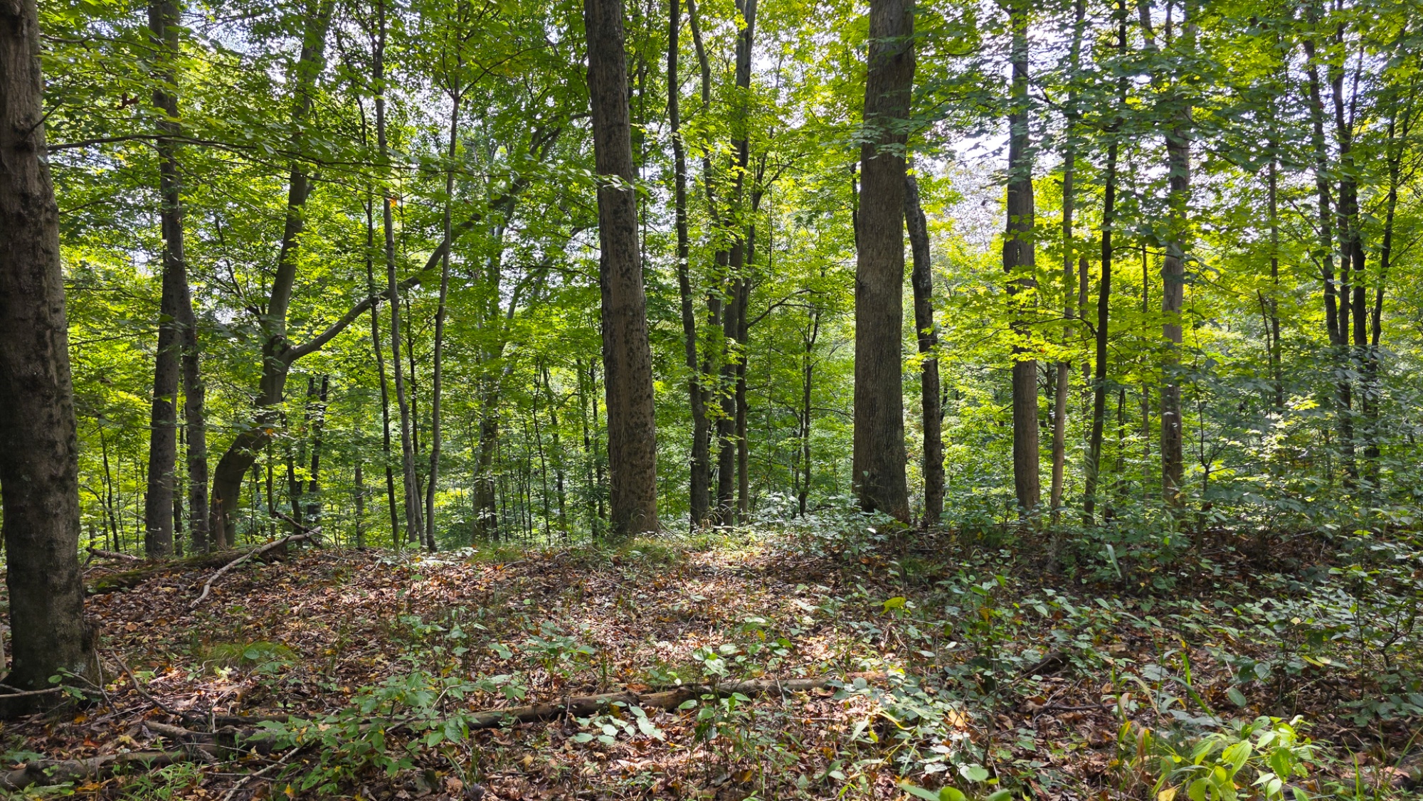
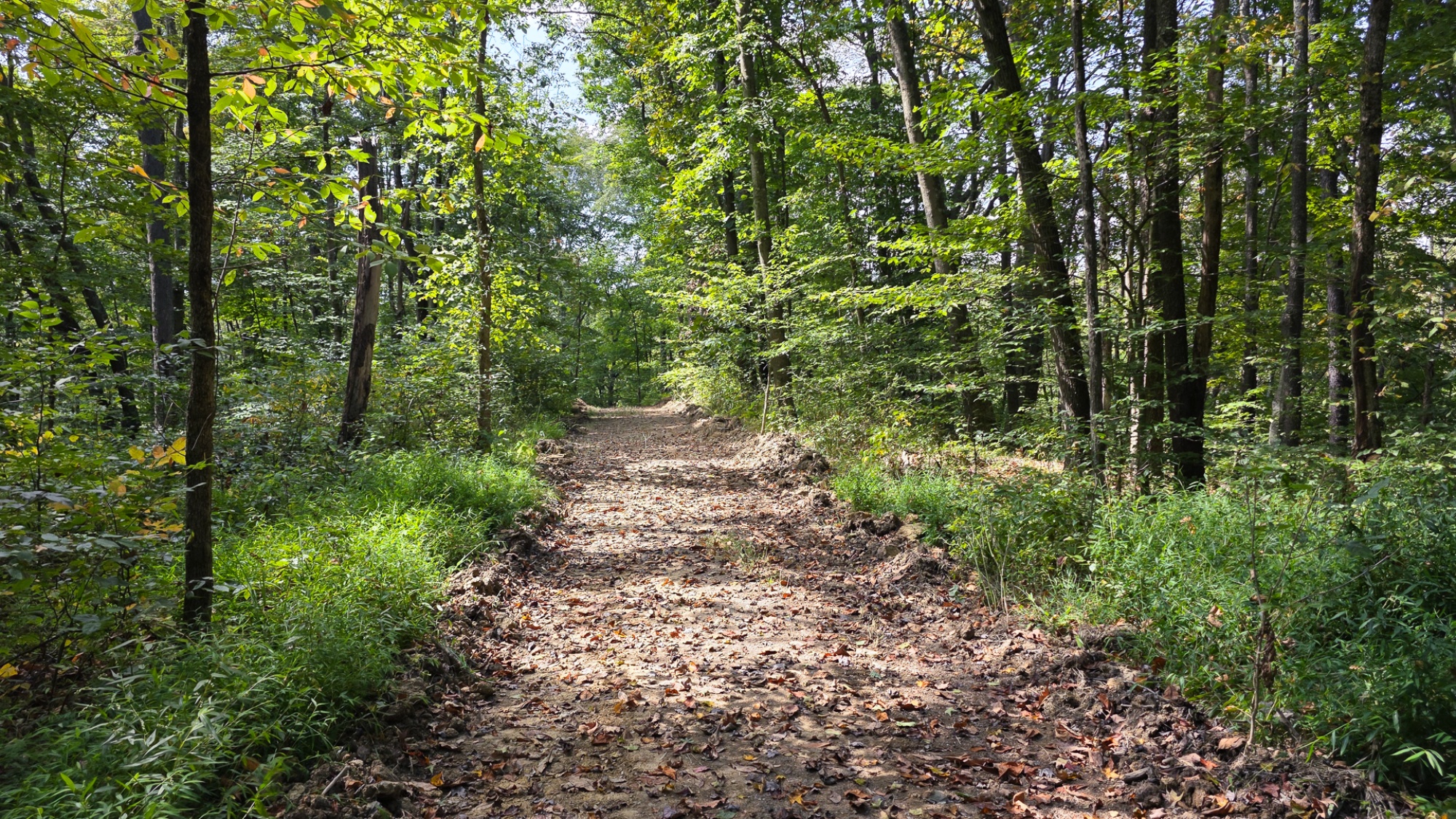
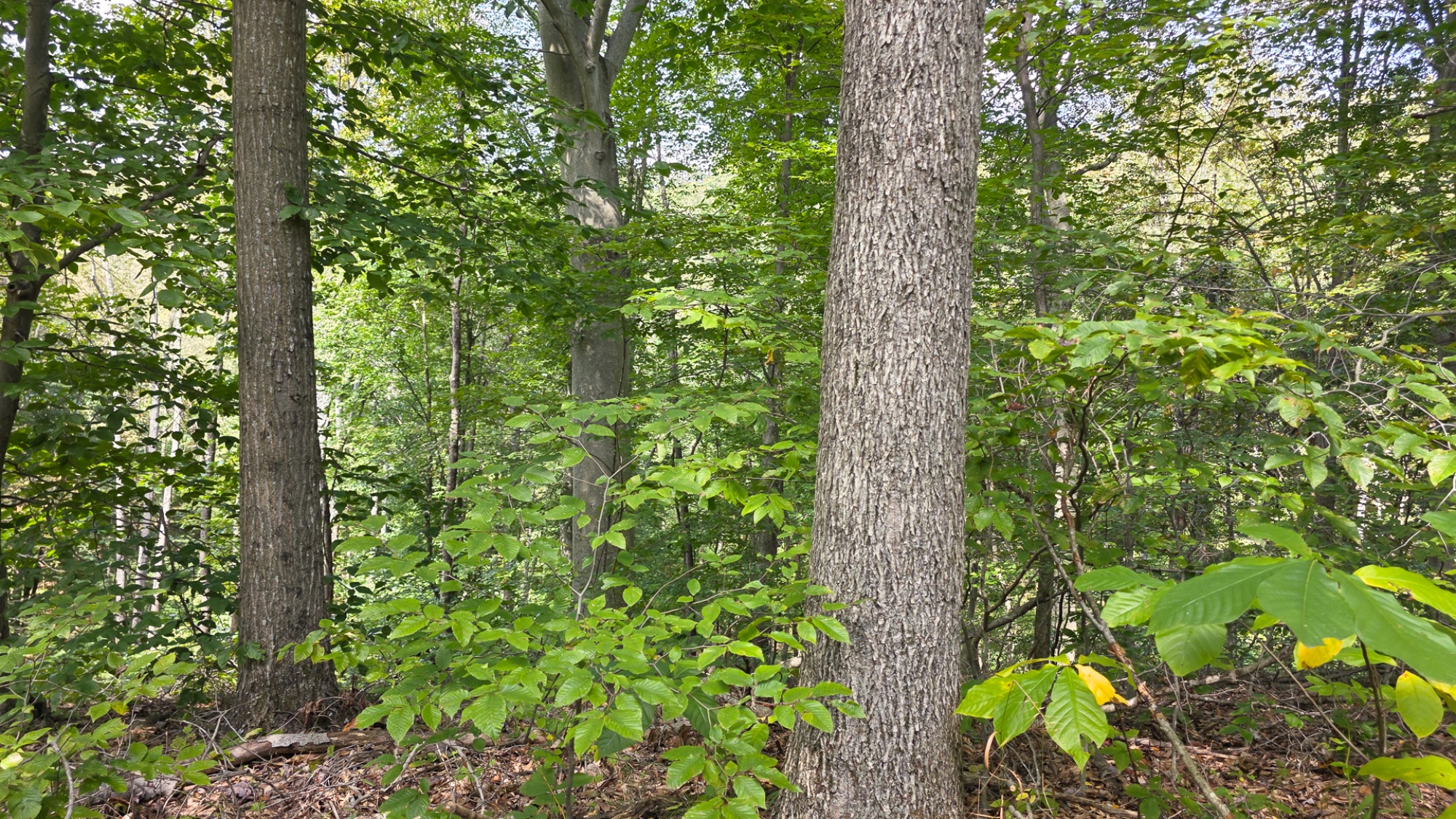
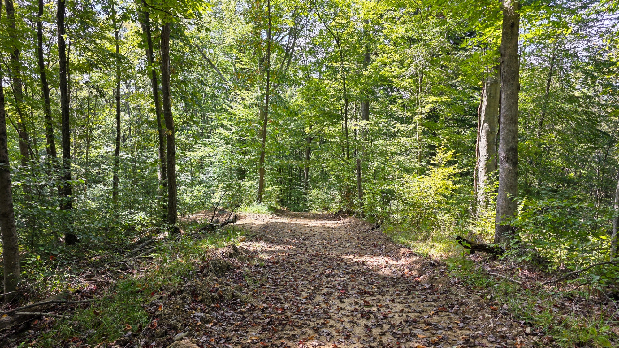
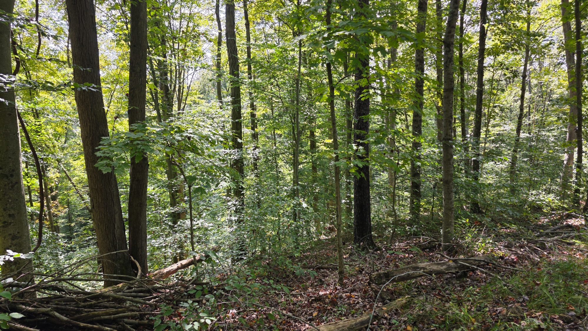
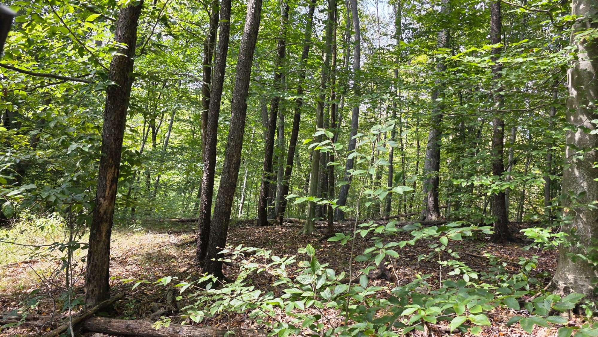
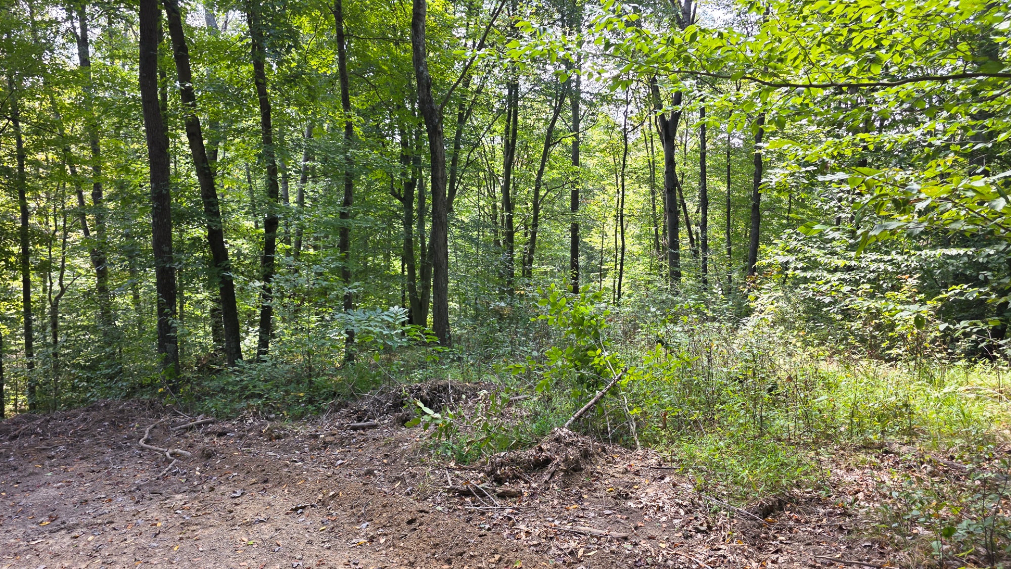
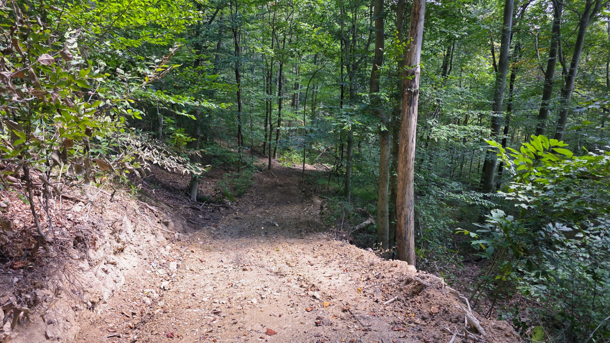
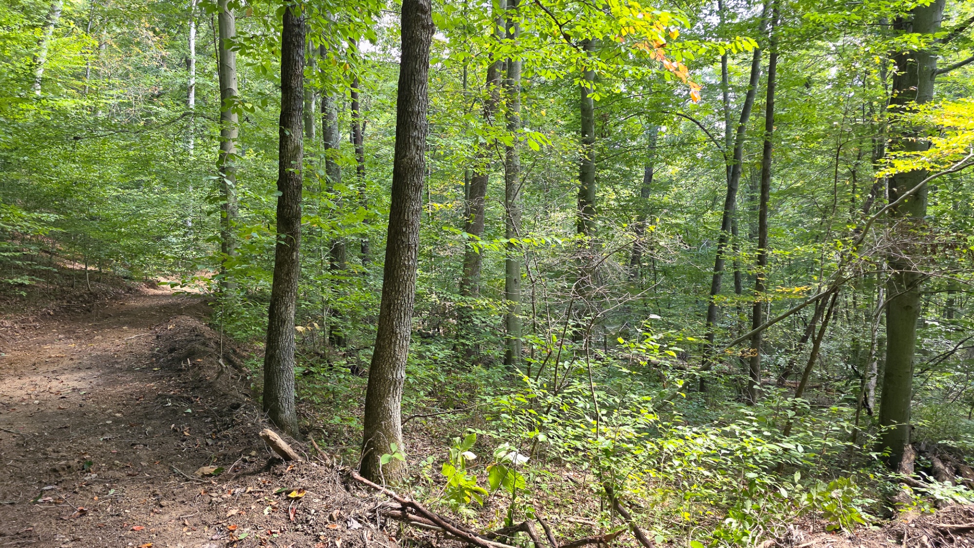
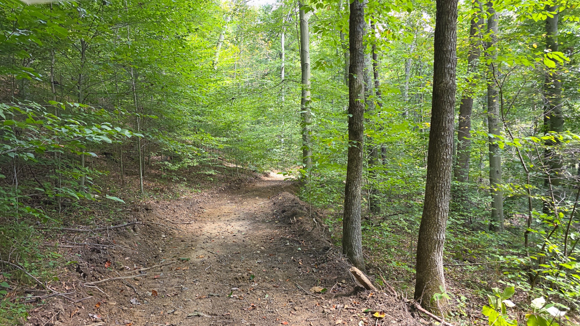
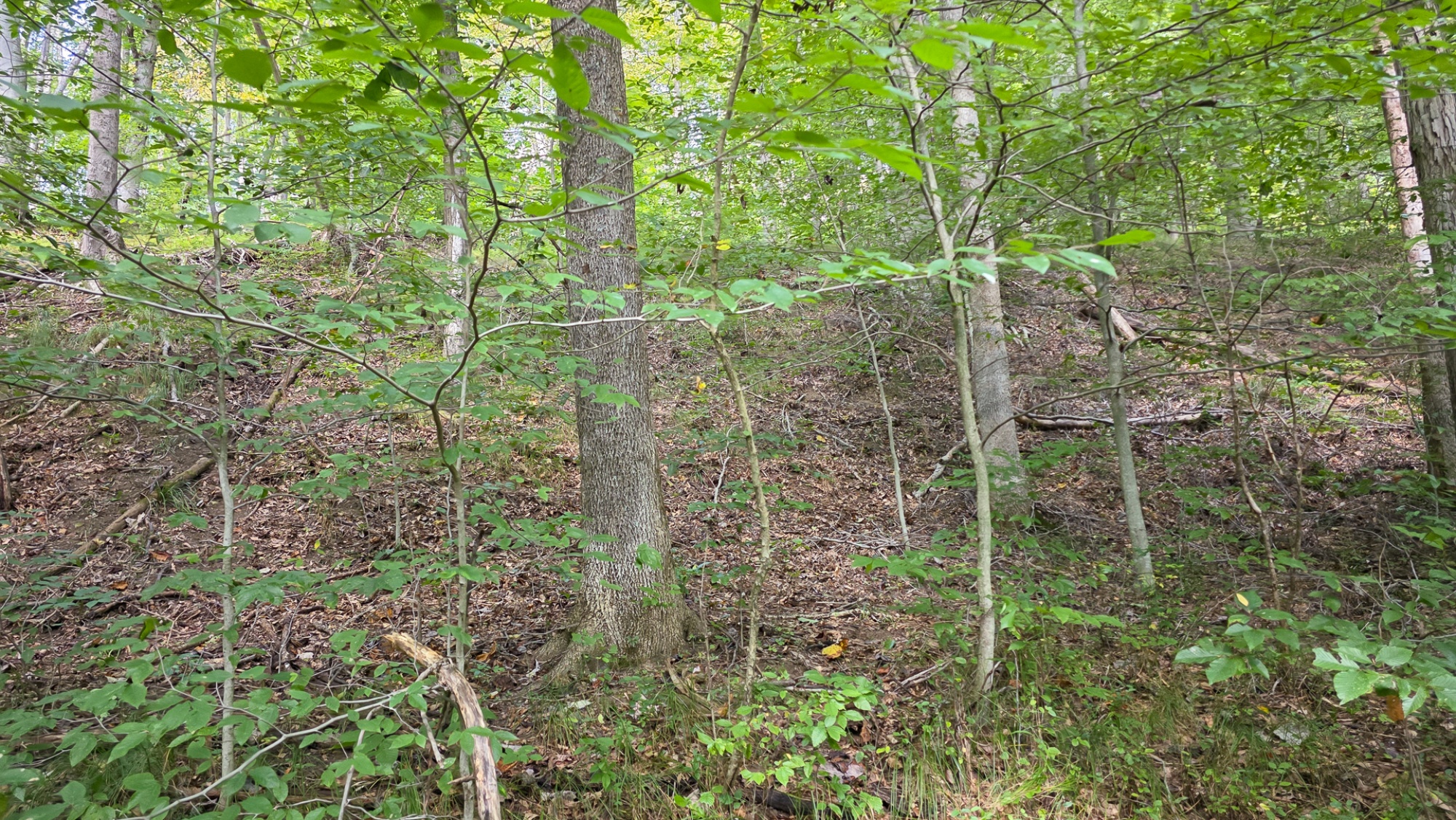
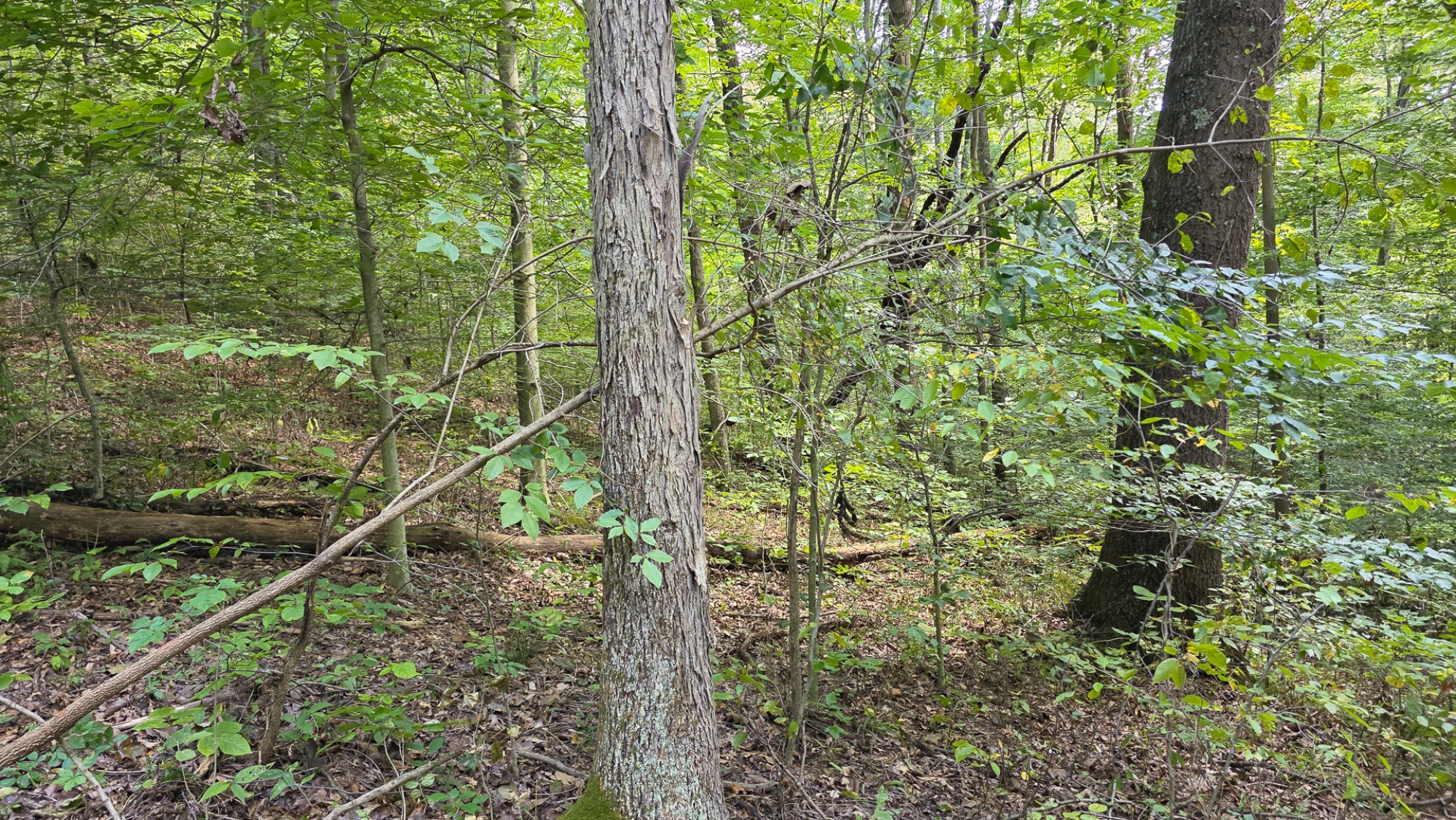
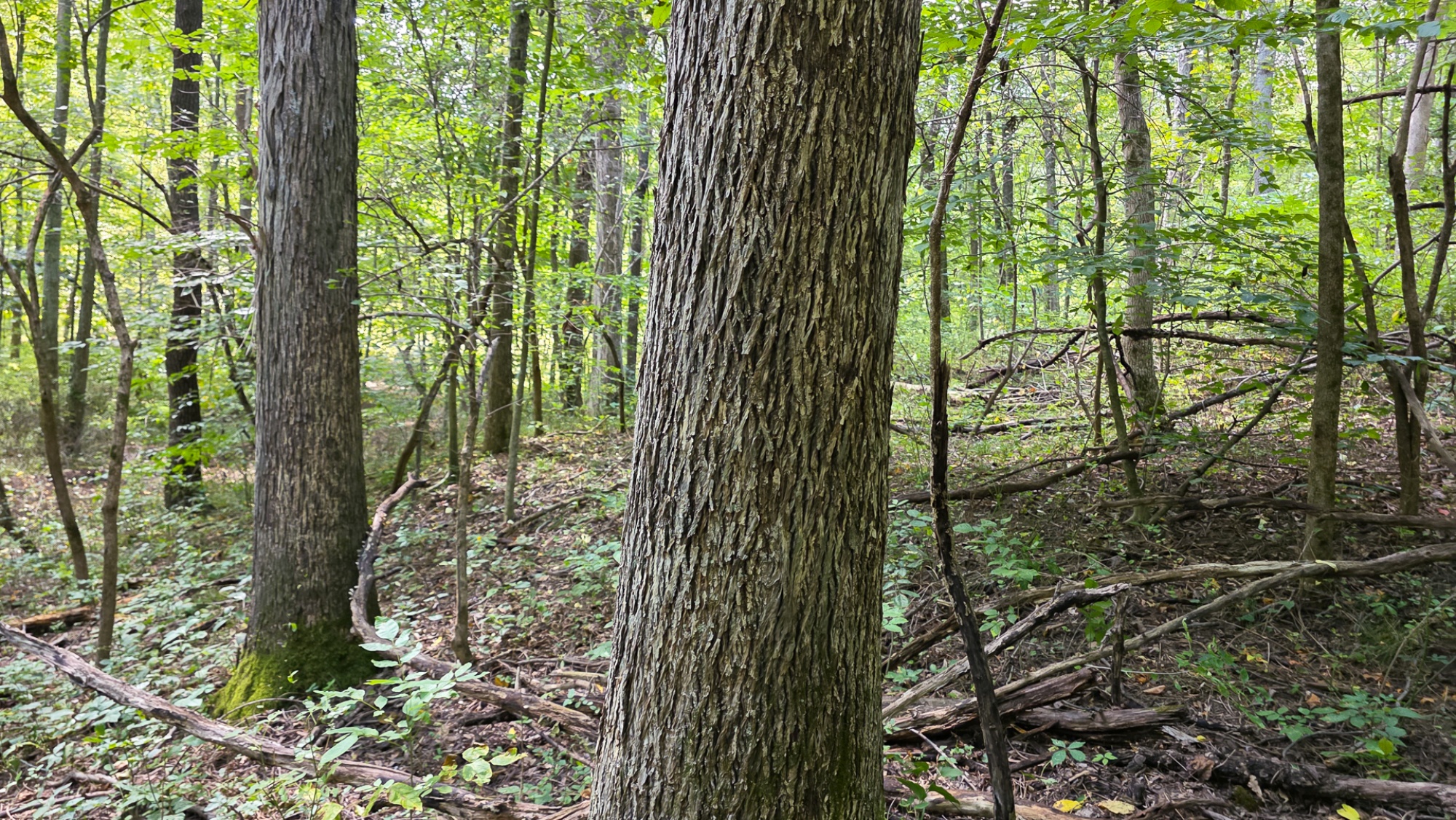
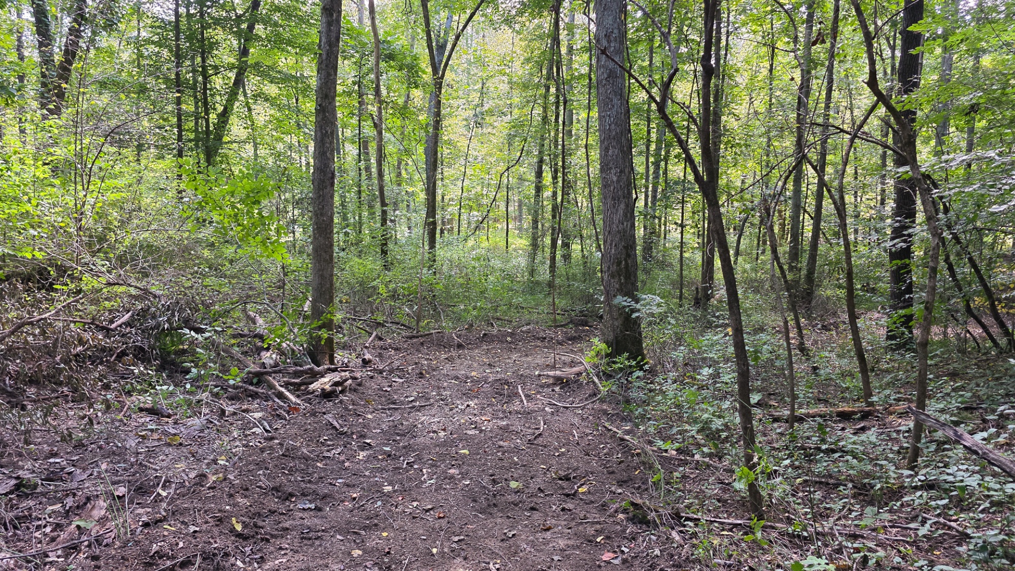
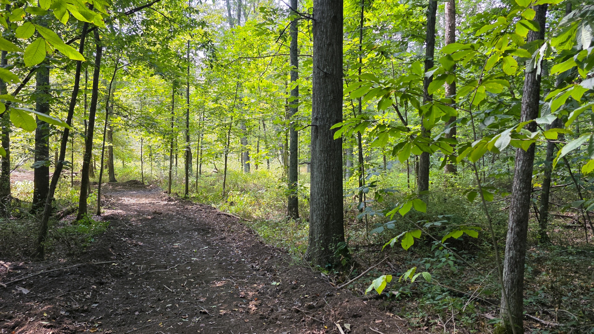
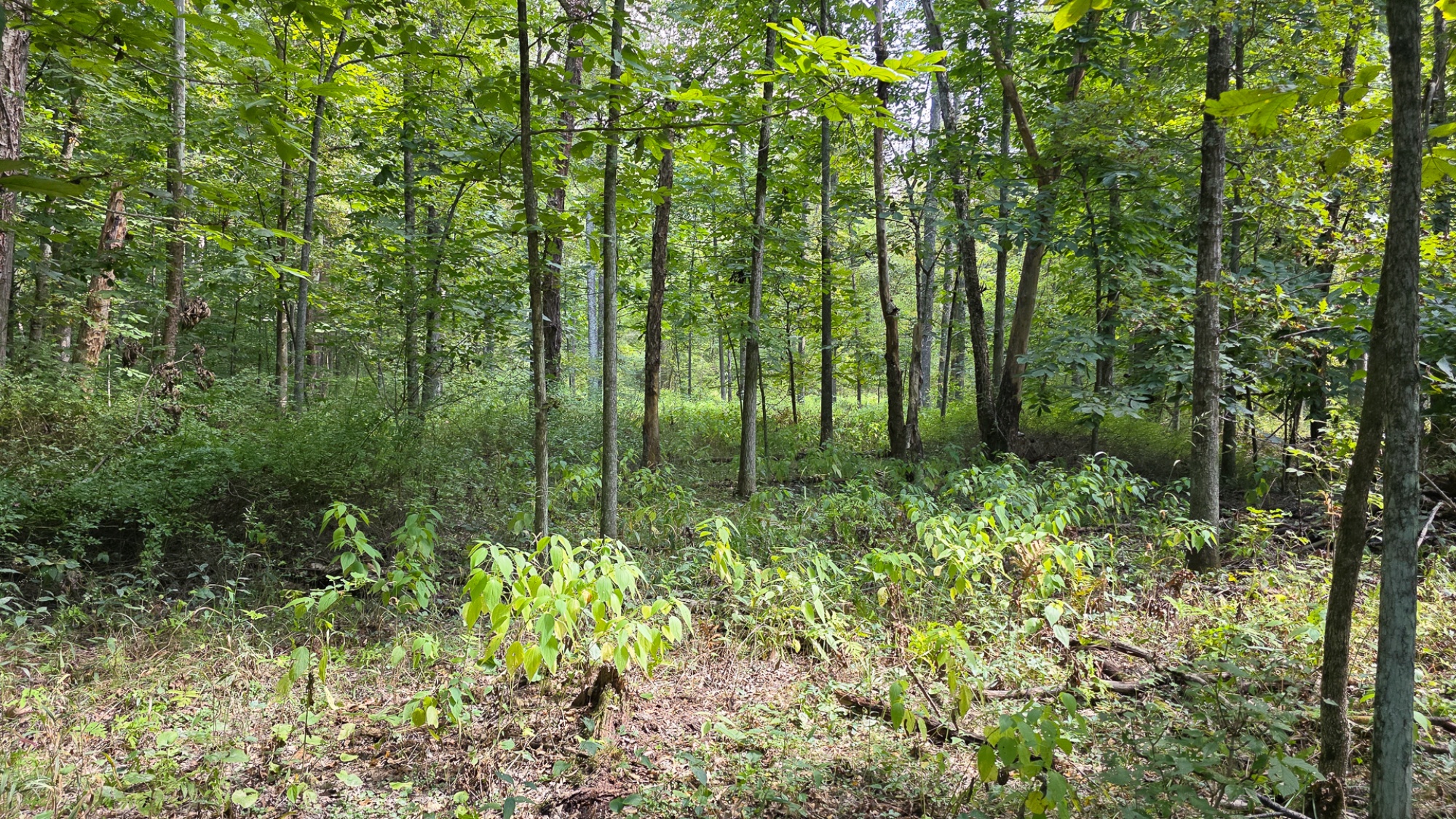
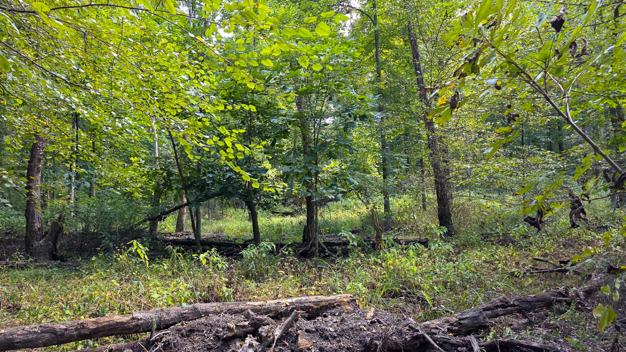
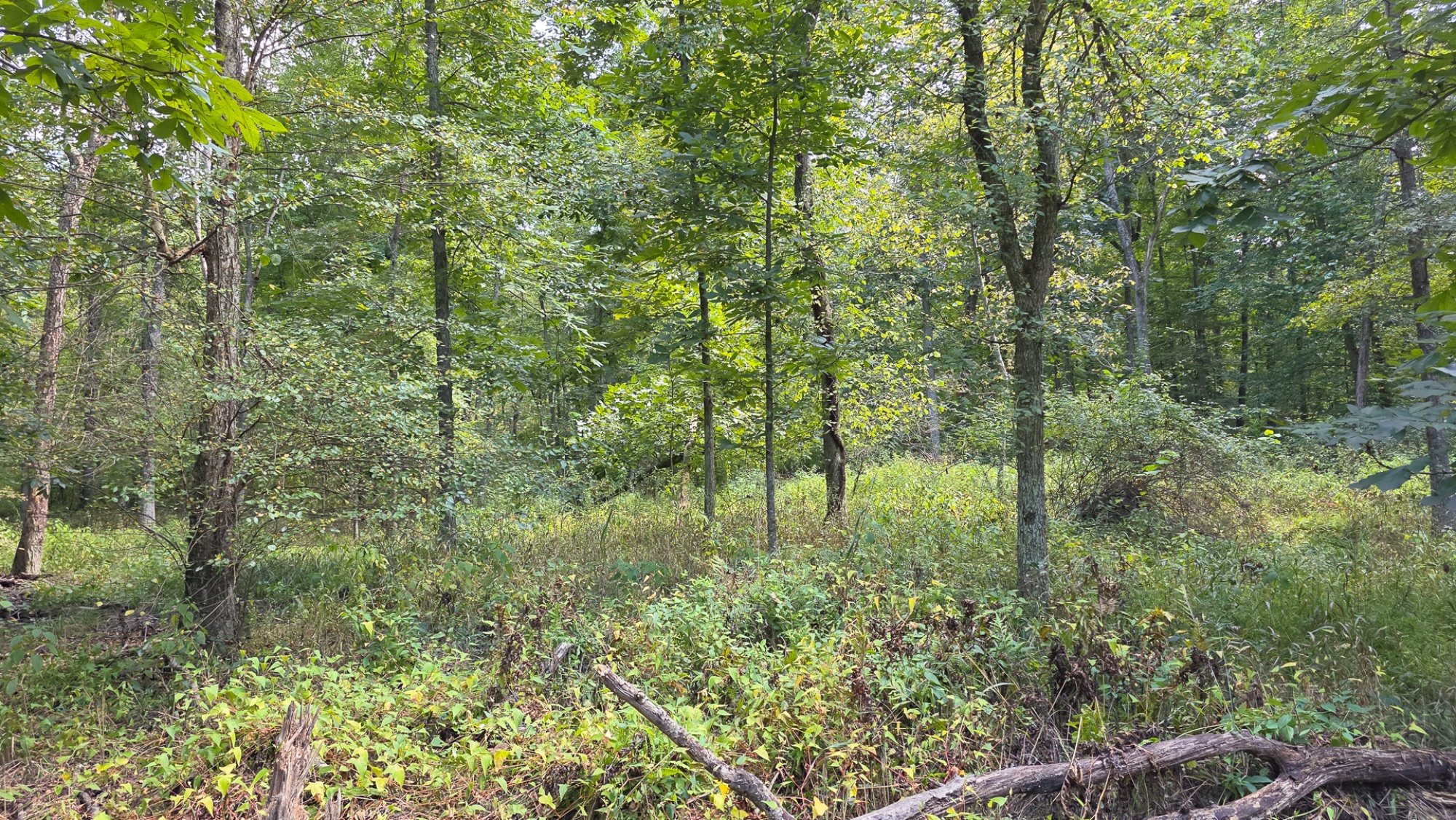
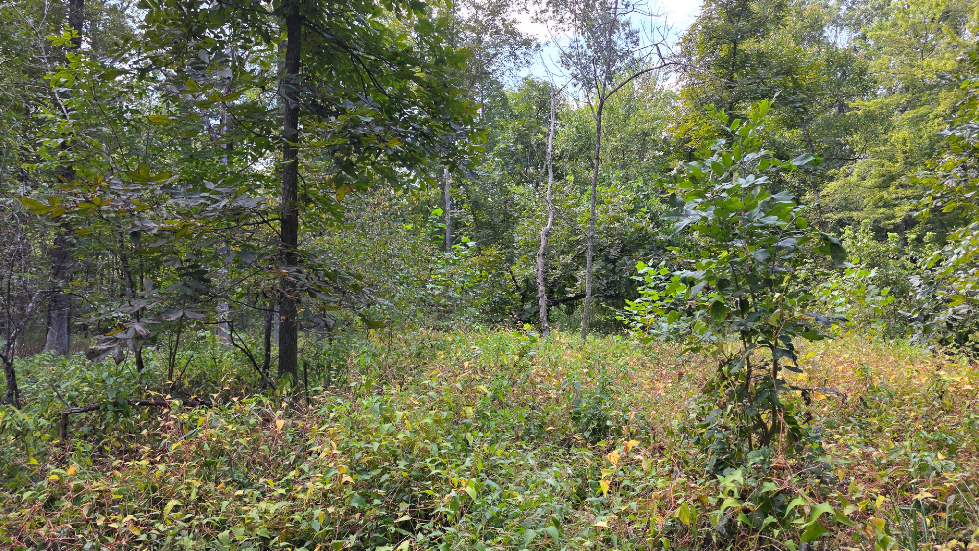
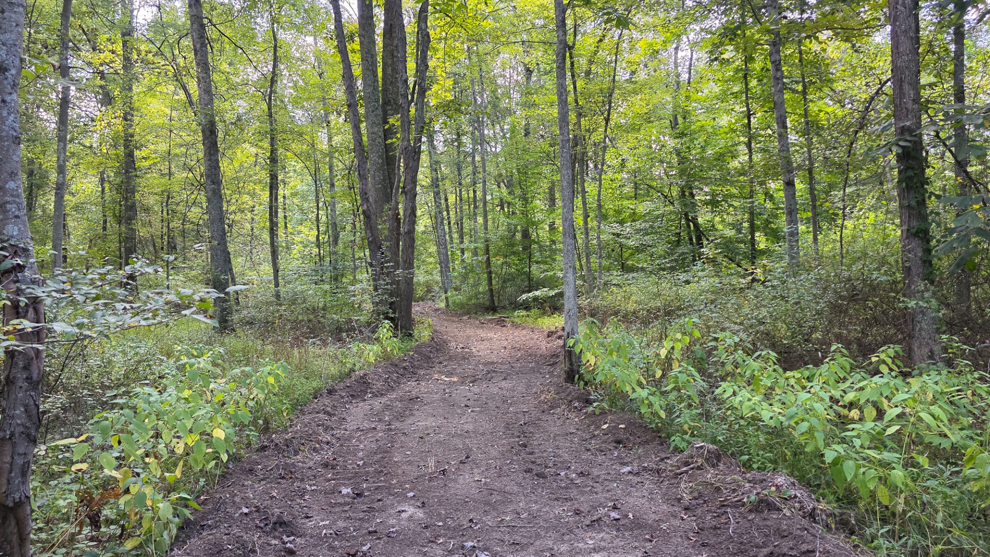
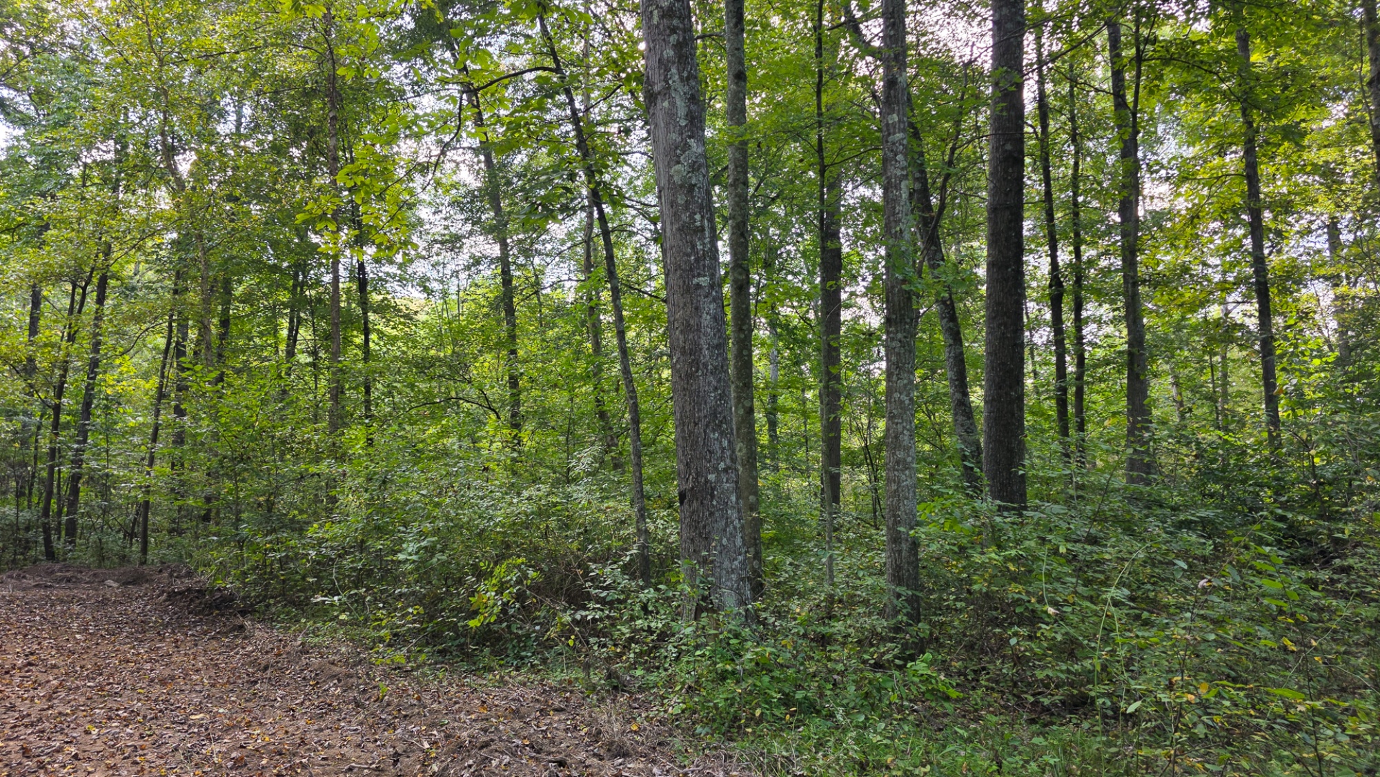
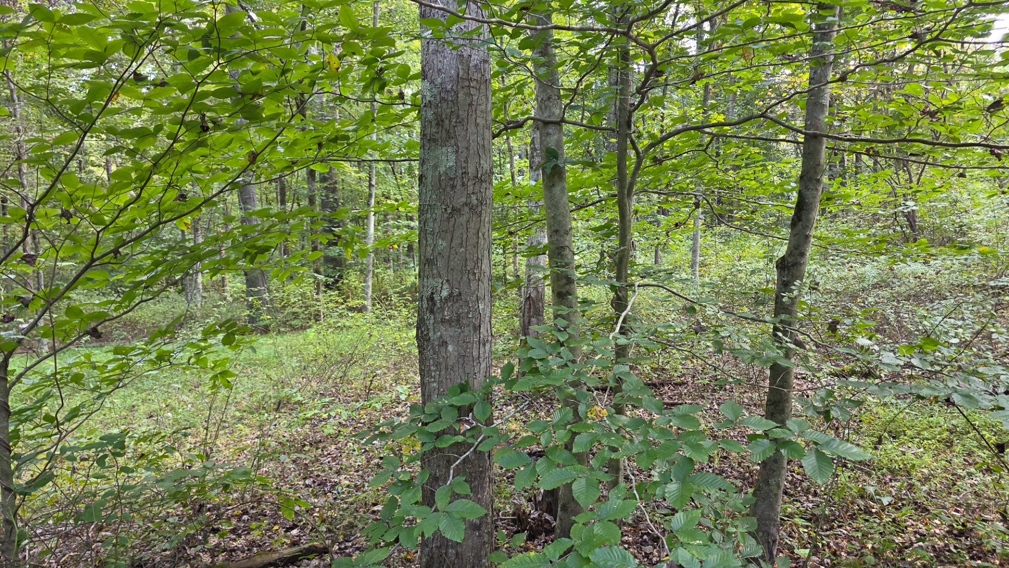
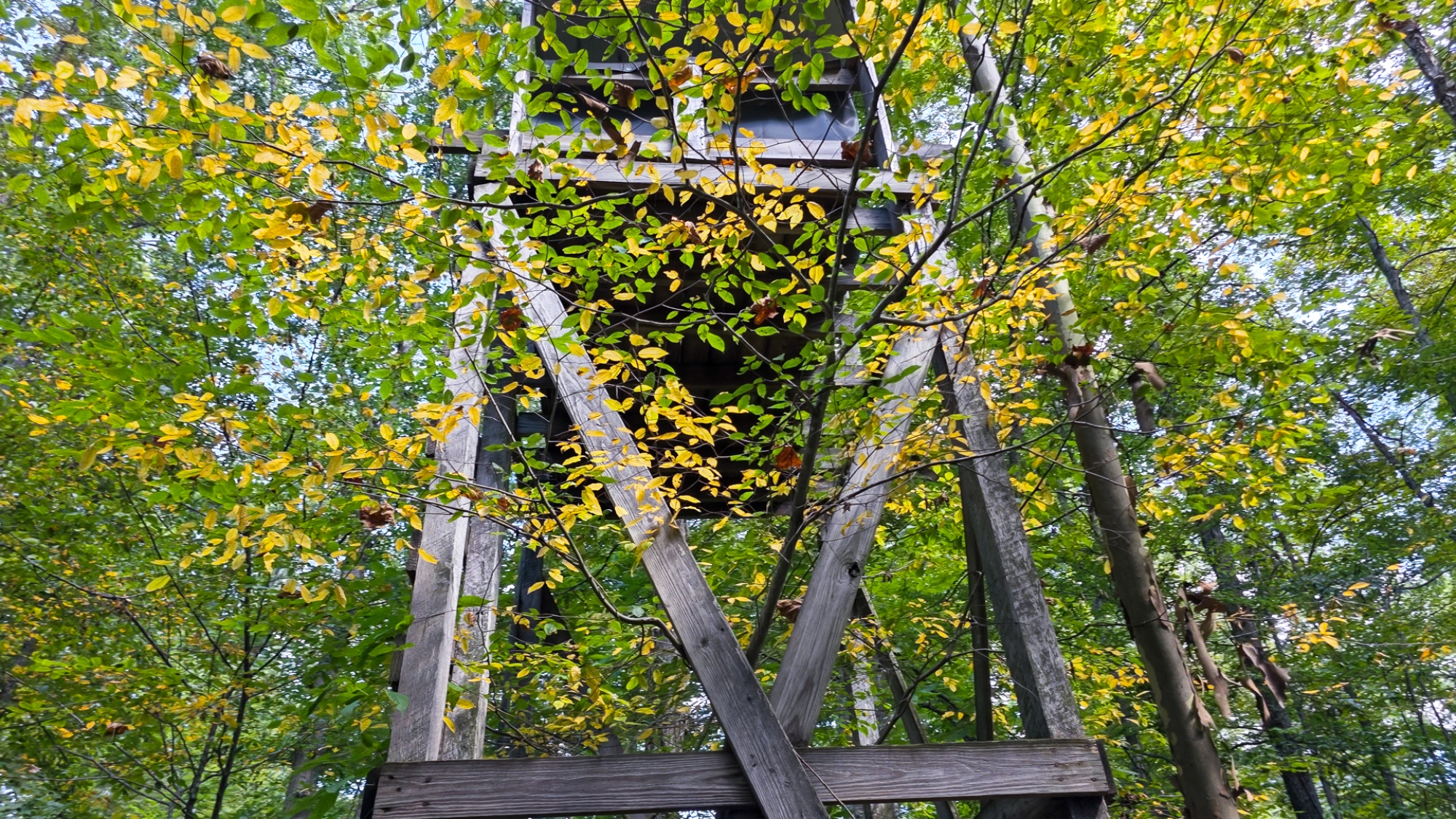
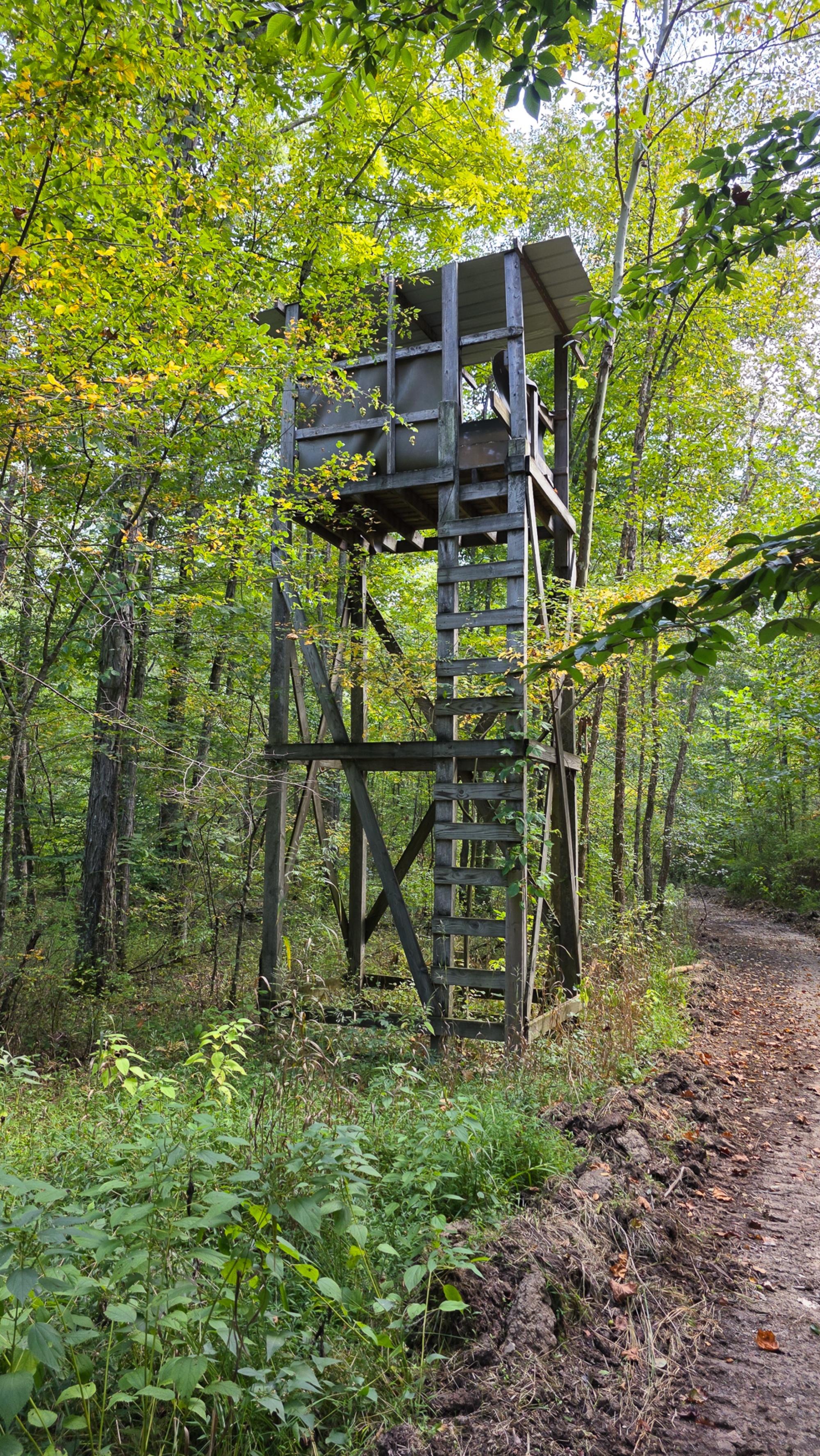
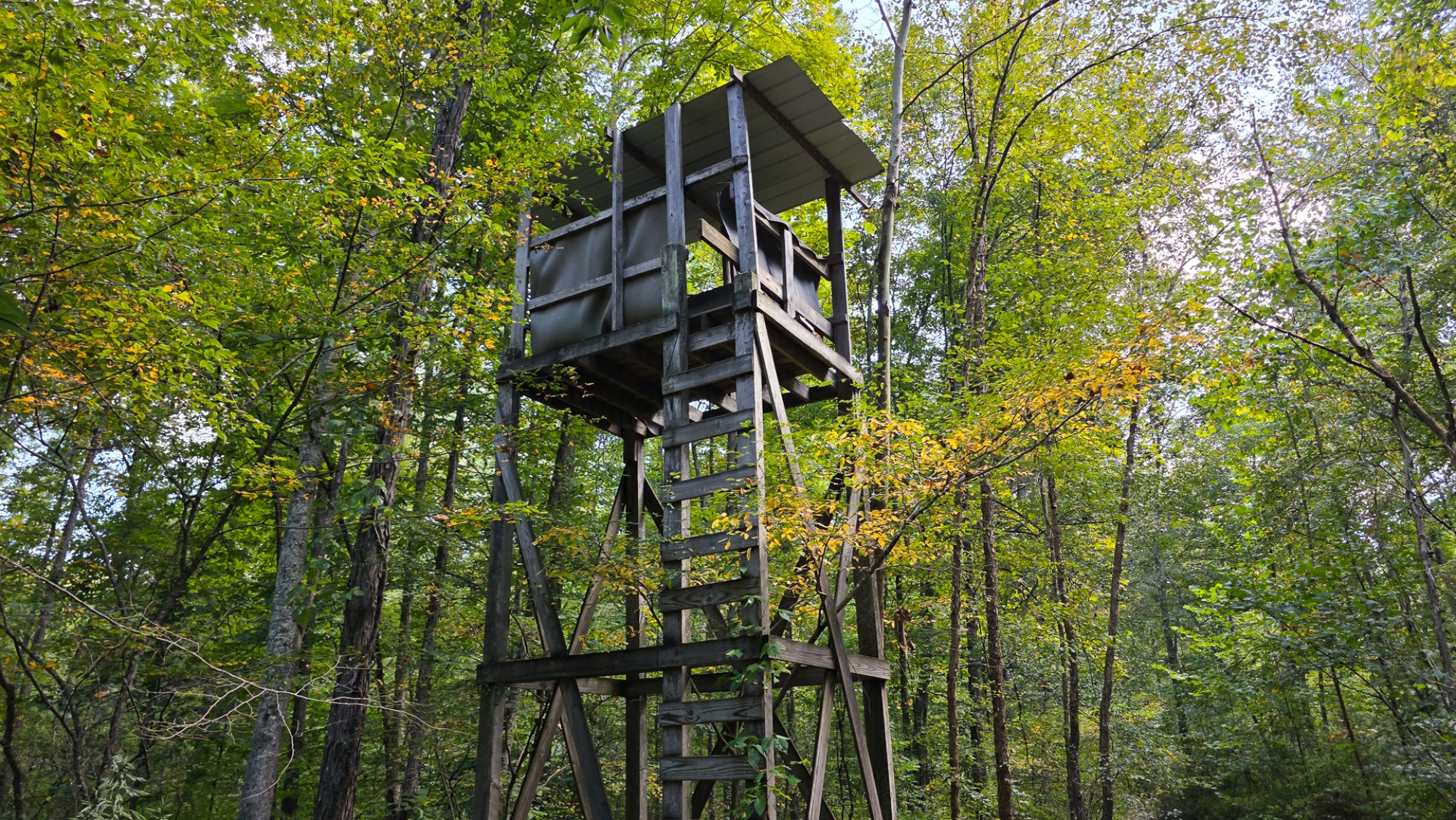
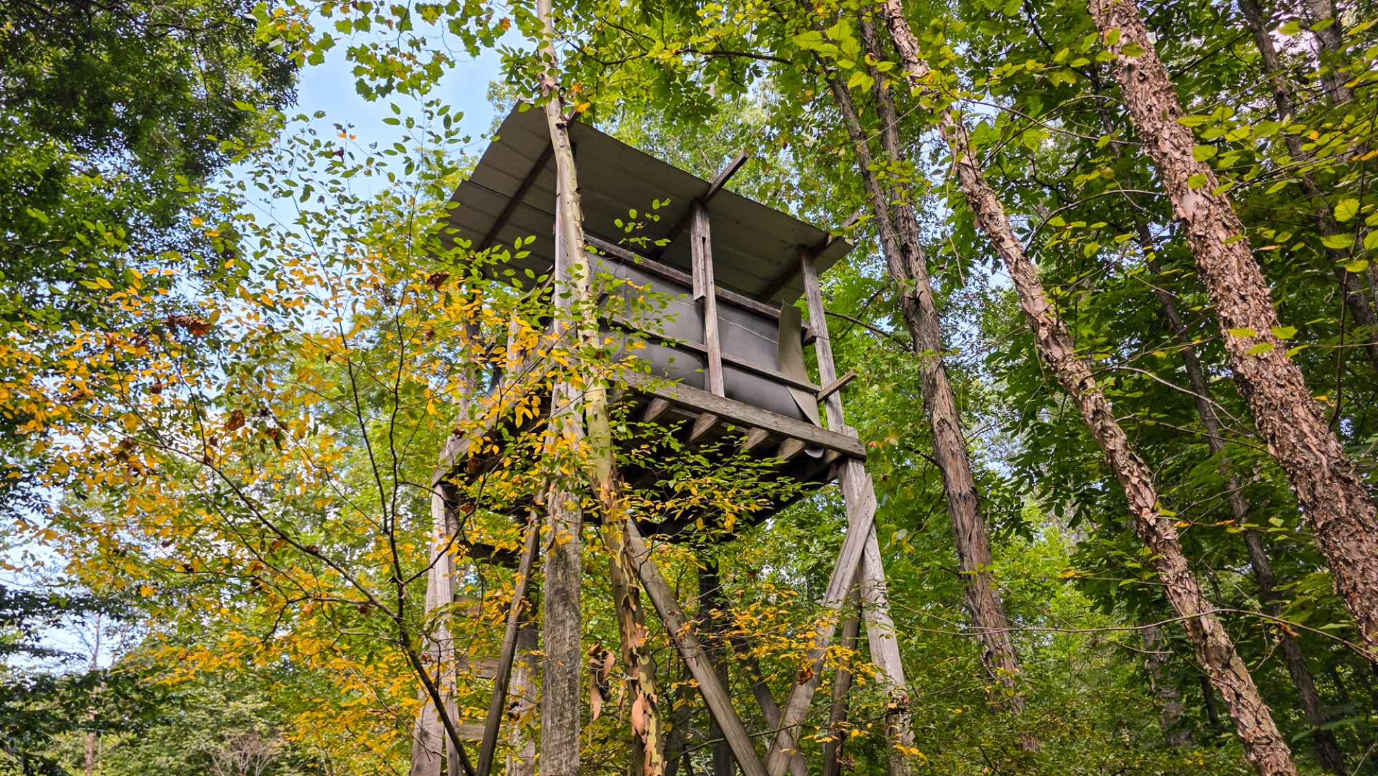
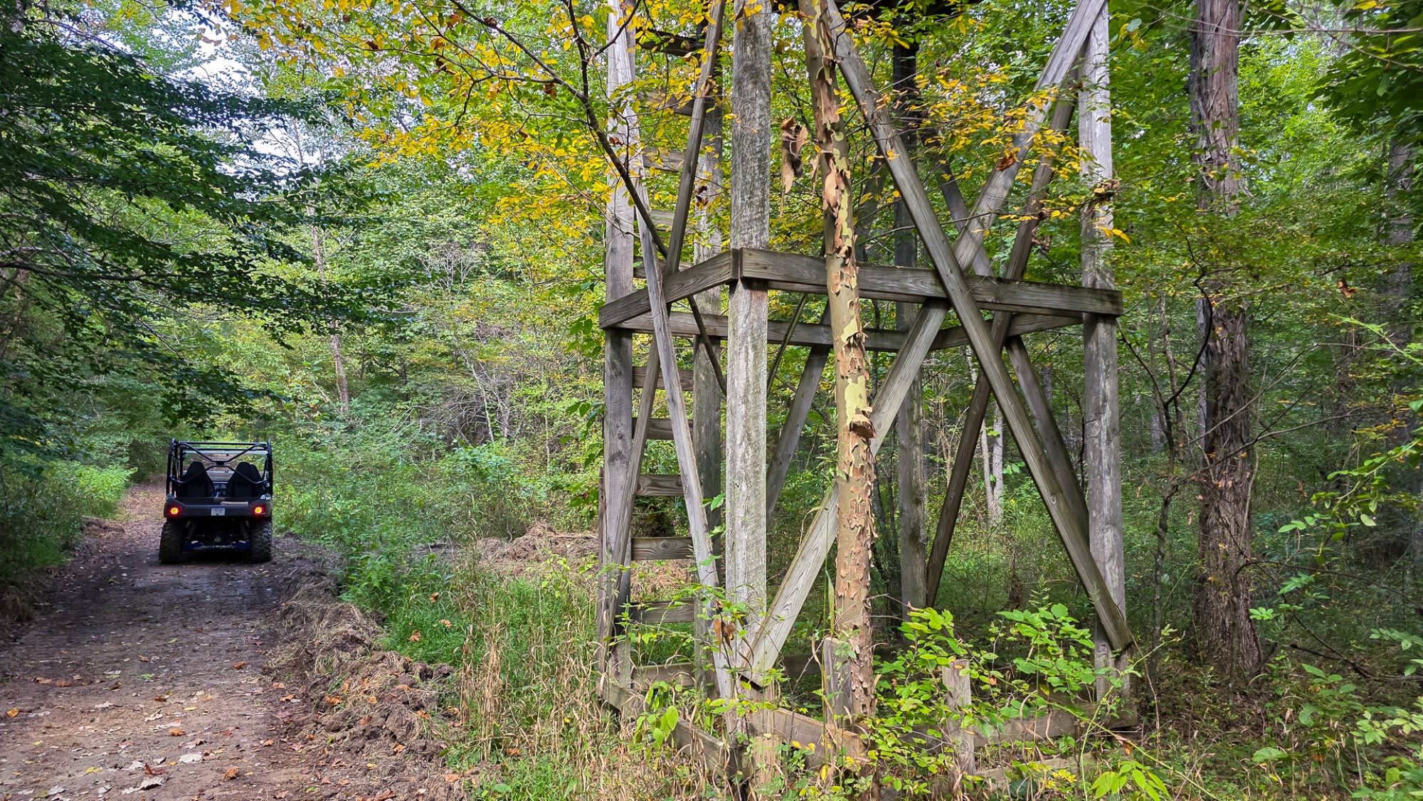
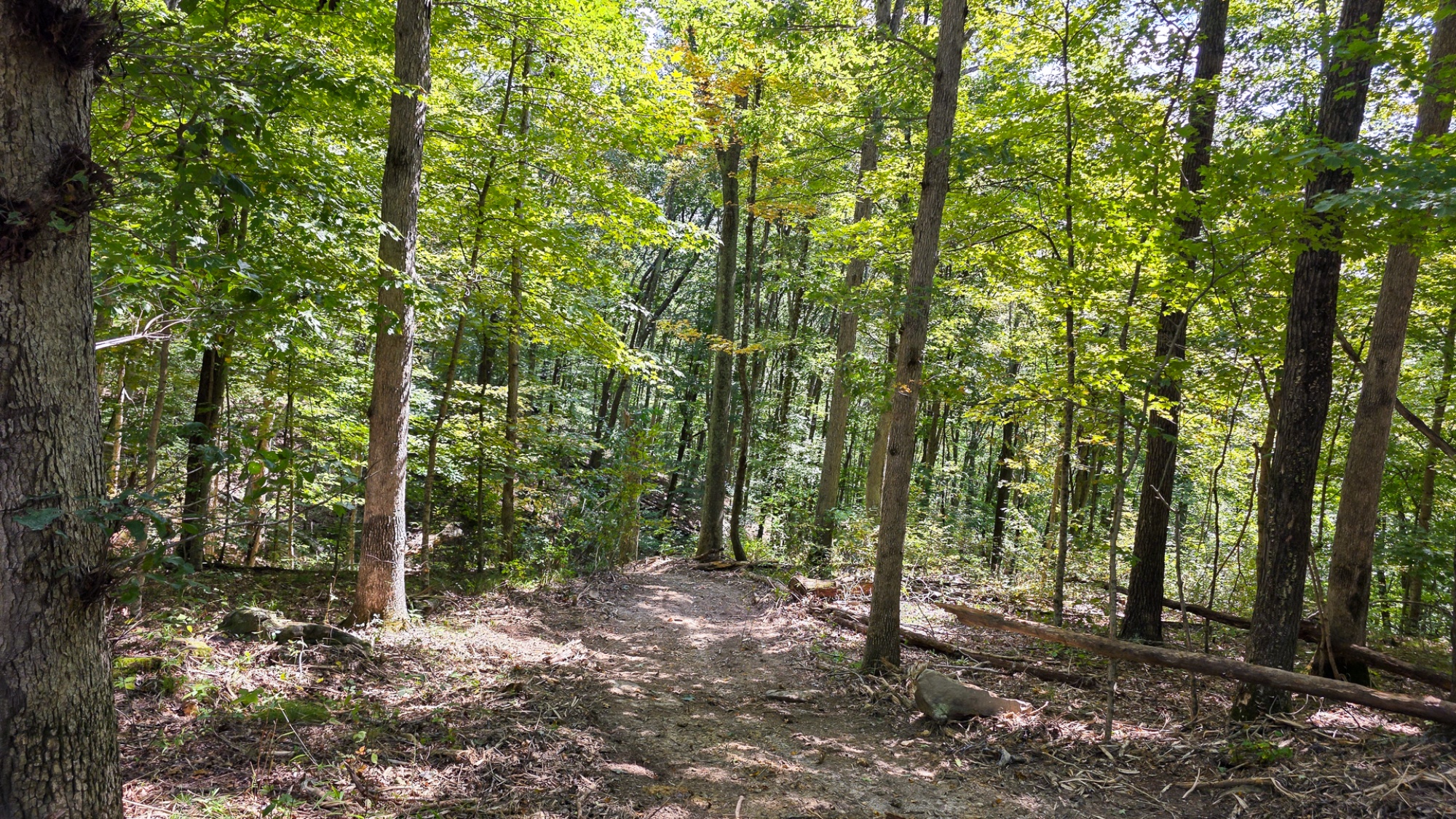
Hocking Hideout on Monday Creek offers 22 acres of woods and endless outdoor opportunity. This tract features a new gated gravel drive leading to a secluded build site, a year-round creek (Monday Creek), and a beautiful mix of mature timber and lush creek areas. Well-cut trails weave throughout the property, making it easy to explore the woods, and enjoy the scenery. Tucked just off one of these trails, a hunting tower overlooks a prime stretch of habitat, giving you a front-row seat to the abundant deer and turkey. And with Wayne National Forest within walking distance, your hiking, recreation, or hunting opportunities extend for thousands of acres. This property is a wonderful recreational retreat, stunning homesite, or Airbnb opportunity sure to please. Located on a quiet dead-end road and just minutes from Logan—the gateway to the Hocking Hills—you’ll also find Burr Oak State Park, Tecumseh Trails ATV Park, and the public ATV trails of Wayne National Forest all nearby. With easy access to Old Man’s Cave and other sought-after destinations of the region, adventure is never far away. With no zoning, no deed restrictions, Hocking Hideout offers freedom to build your dream cabin, off-grid getaway, or weekend base camp exactly the way you want it.
Hocking Hideout is located:
0 Tucker Rd, New Straitsville, OH 43766
GPS Coordinates: 39.573392, -82.270253
Google Map Link
Countrytyme Maps and Additional Information
A Countrytyme advantage
Take the property lines into the field.
On your phone, tap Walk property lines, allow your location when asked, and follow the blue dot in Tract Explorer to see your position in relation to the mapped boundary while you explore.
Walk property linesProperty photos