This property has sold.
The interactive map and property-line walking tools remain available. Driving directions are not provided for sold properties.
Interactive property map
Explore this property map.
Switch aerial, topographic, soil, water, contour, and terrain layers while the mapped project boundary stays visible.
Property Documents
Property Description
The Pond at Little Kyger (Tract 7)18.3 Ac Home/Cabin Site or Recreational Retreat
Little Kyger Rd, Cheshire Twp, Gallia Co, Ohio
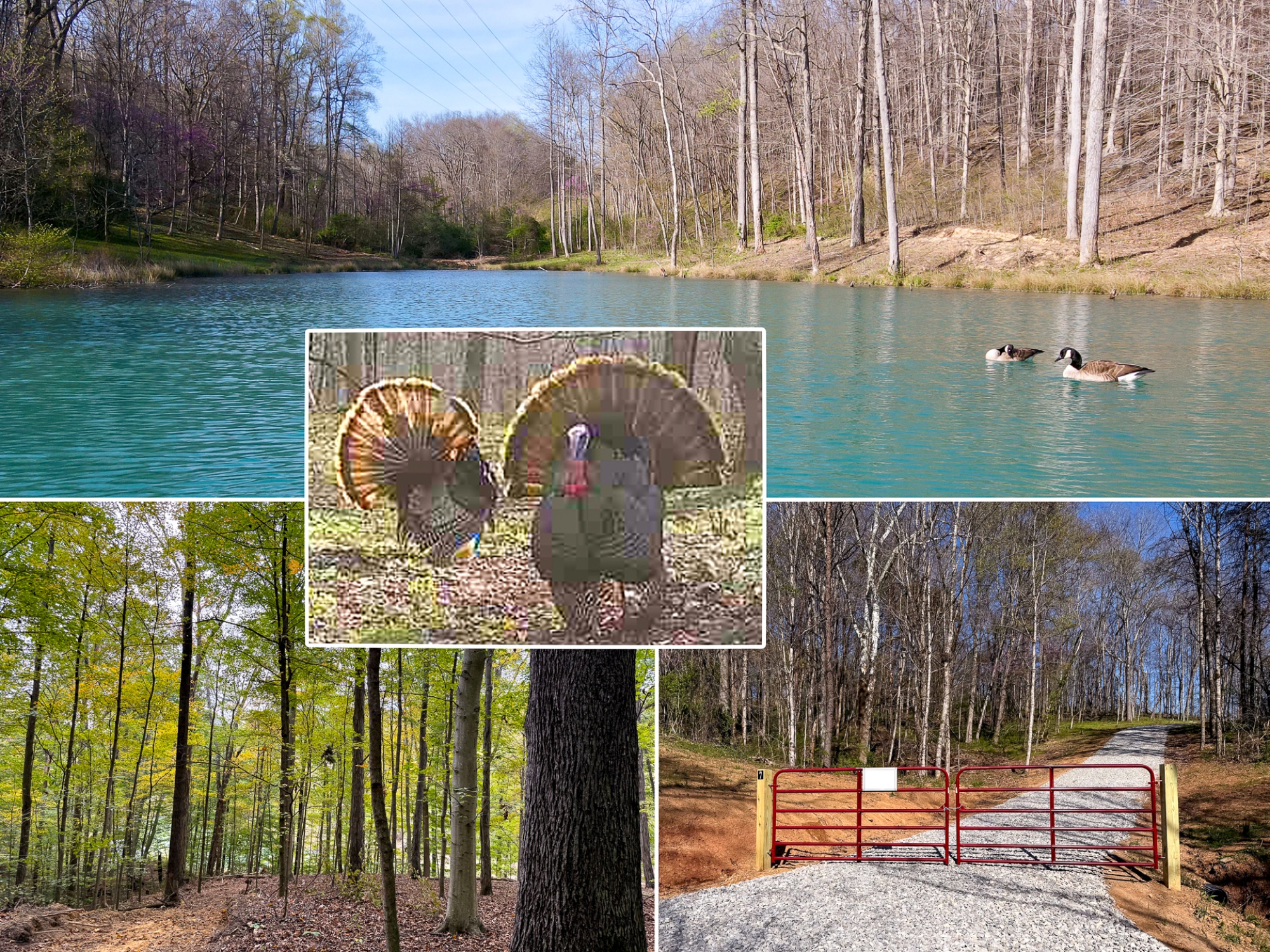
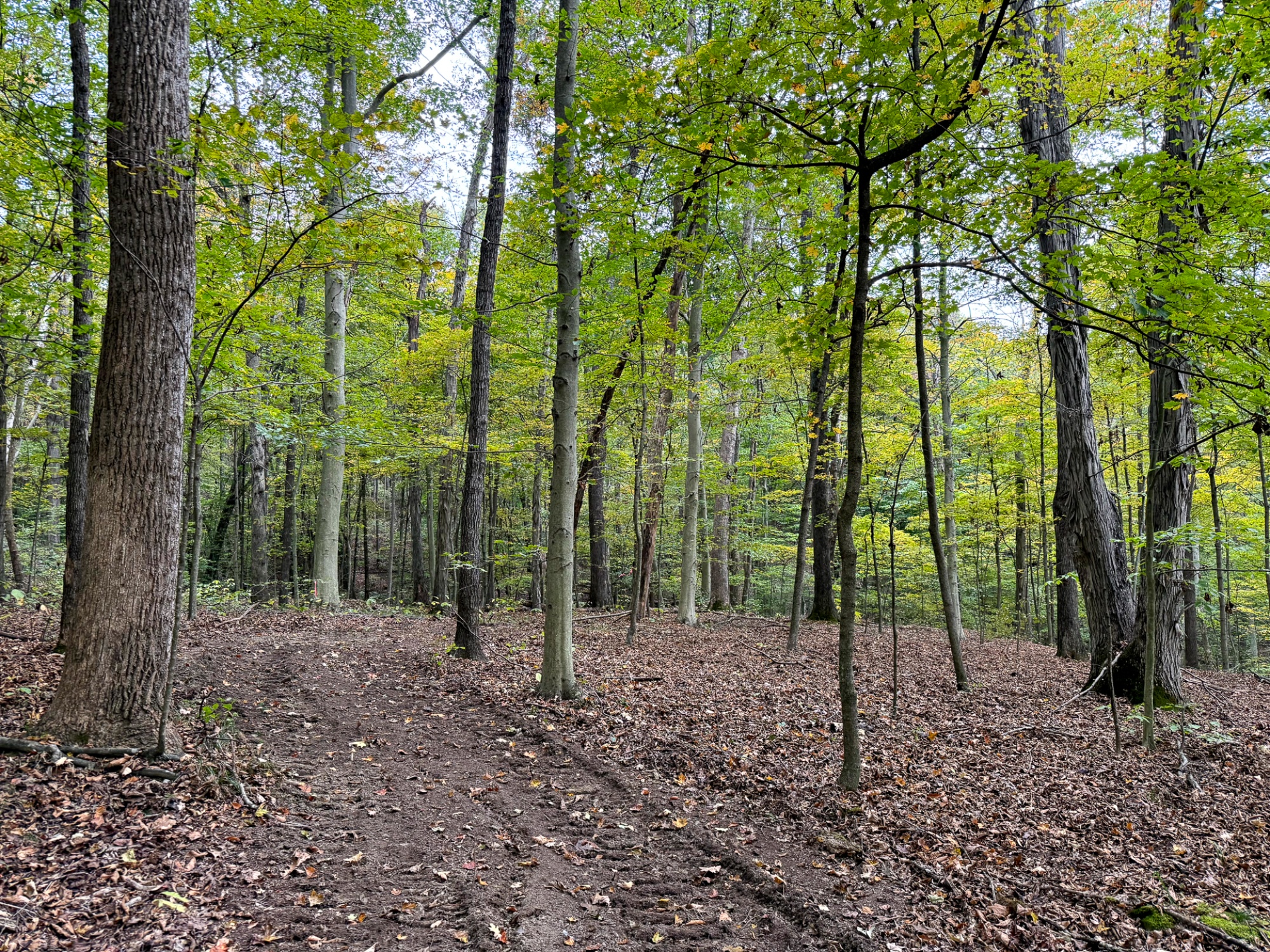
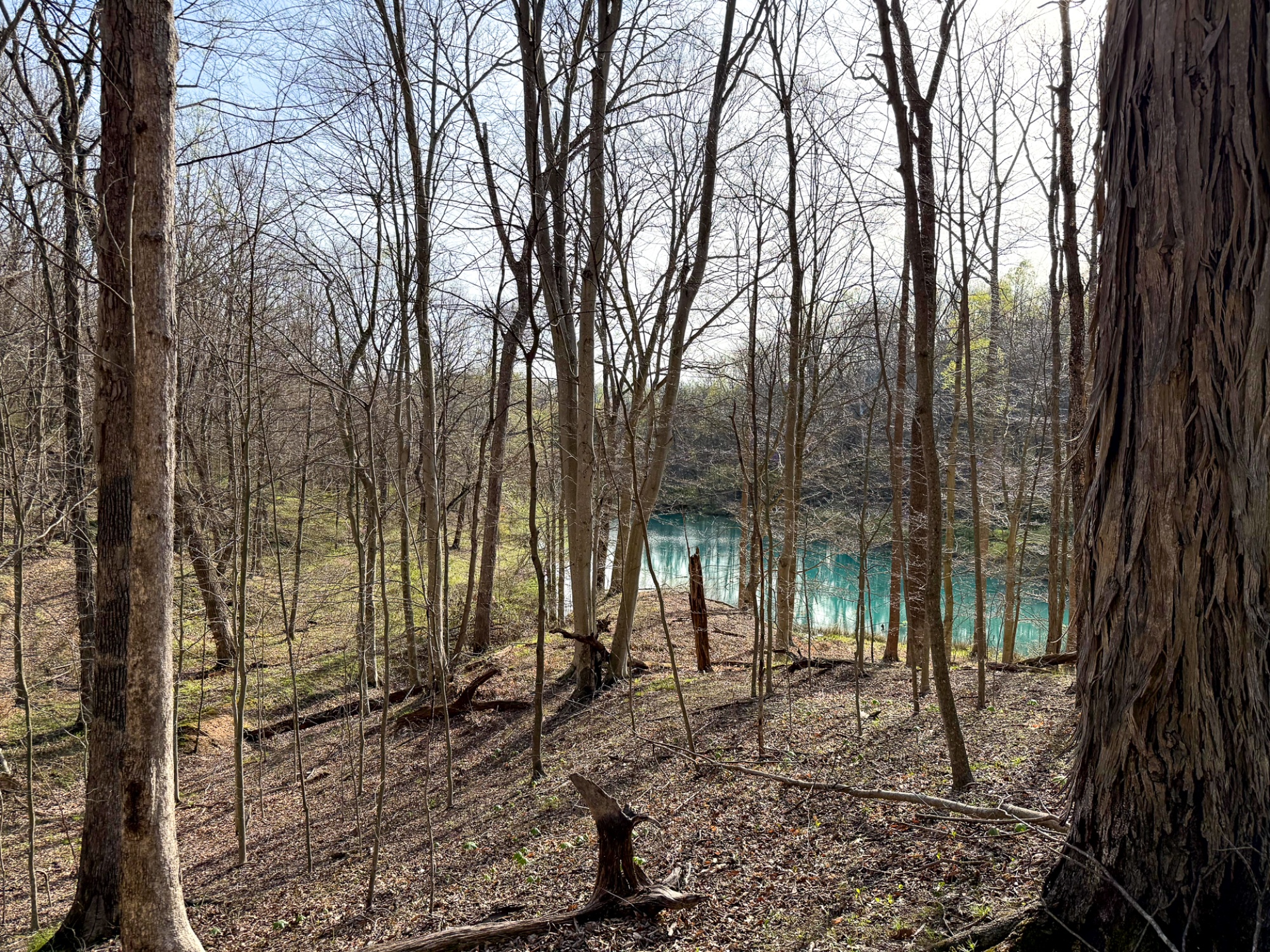
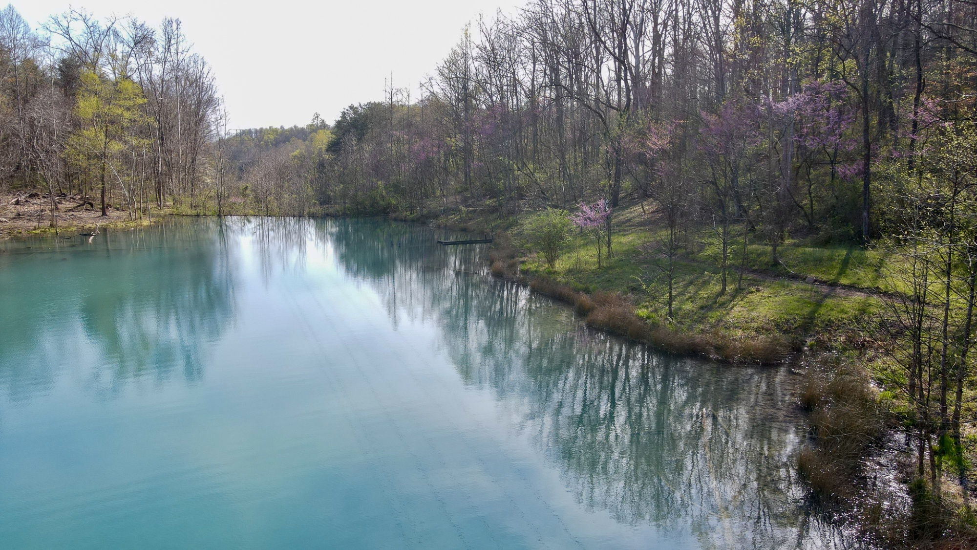
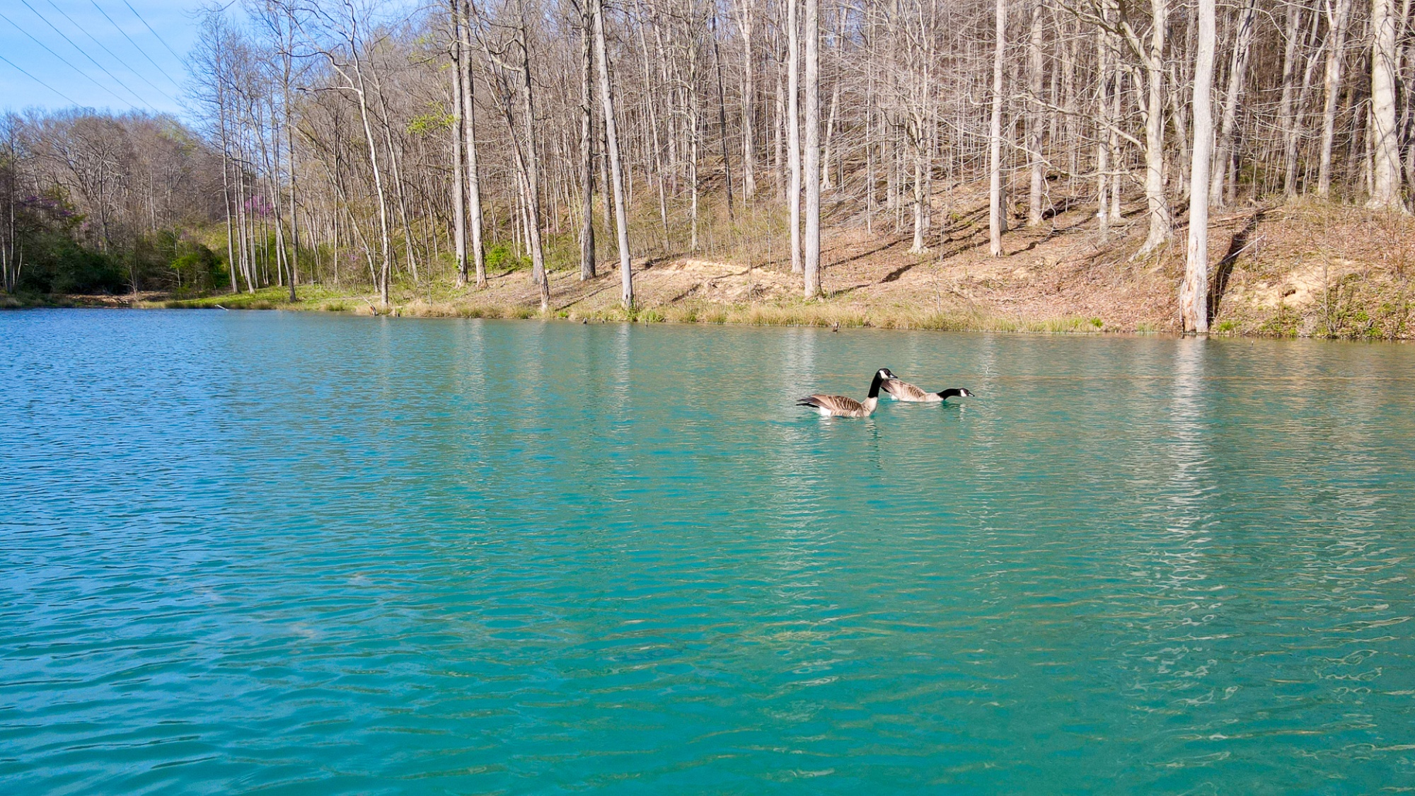
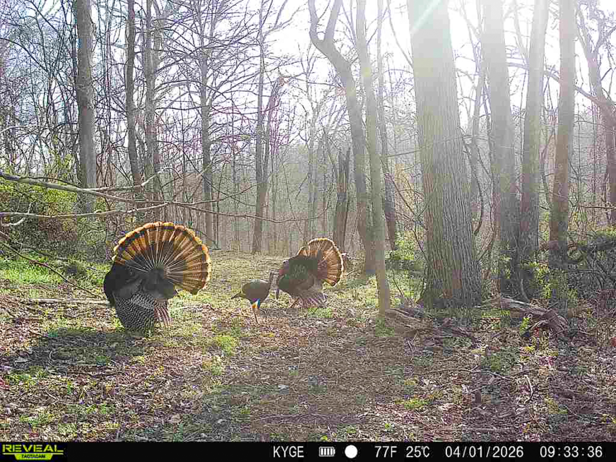
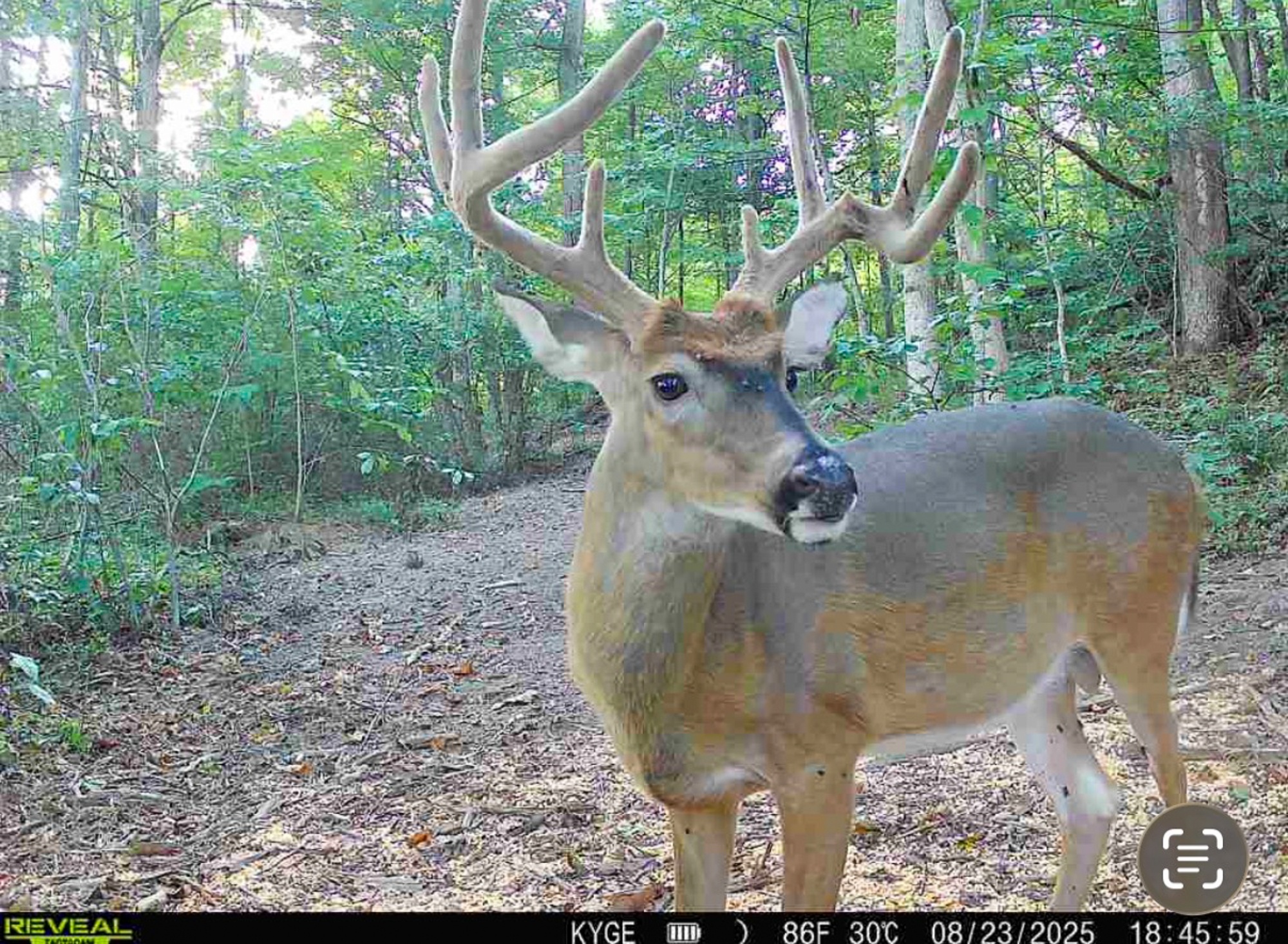
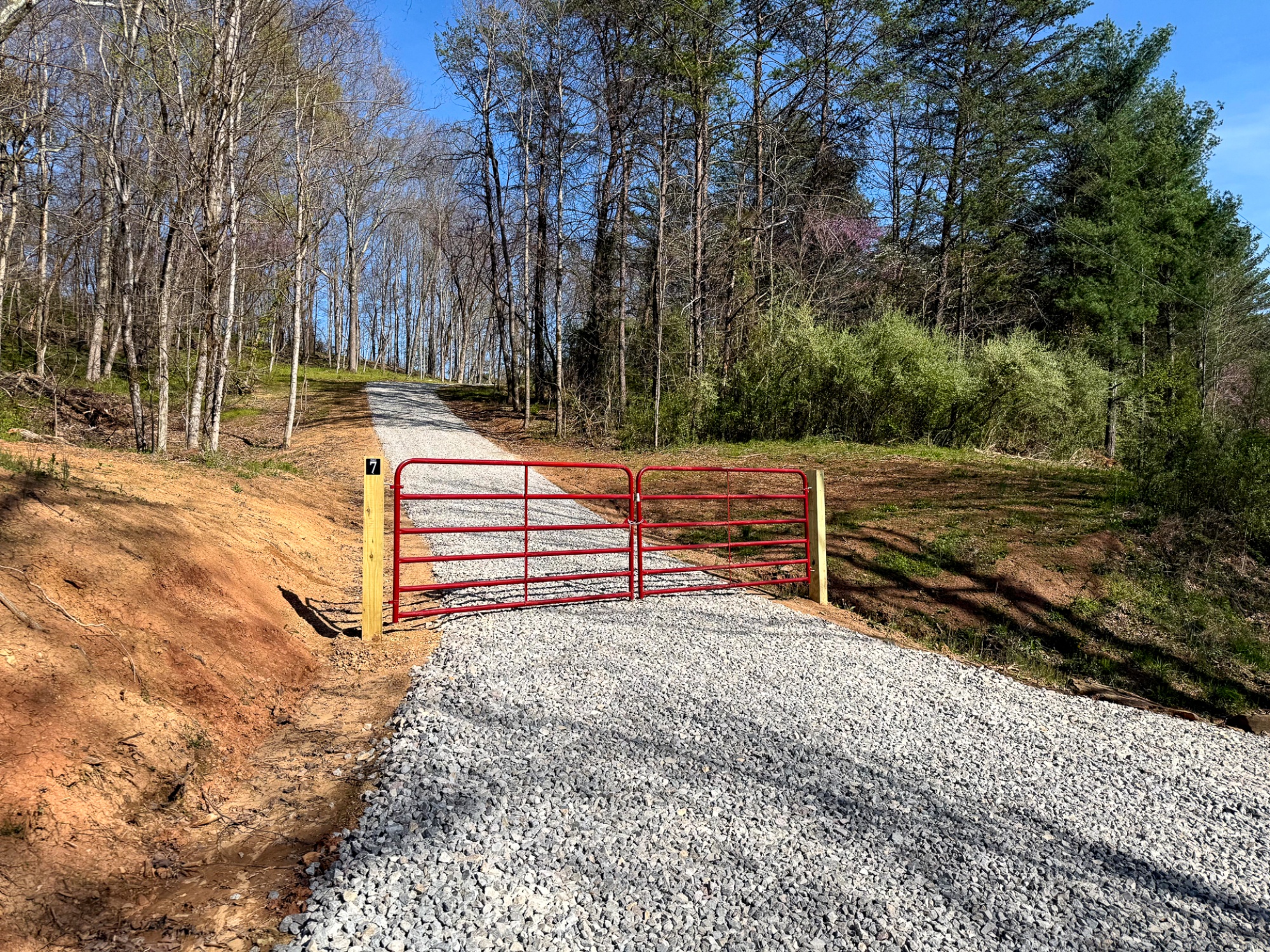
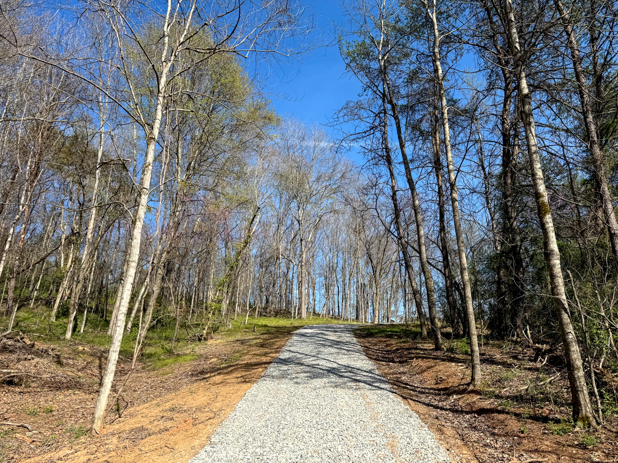
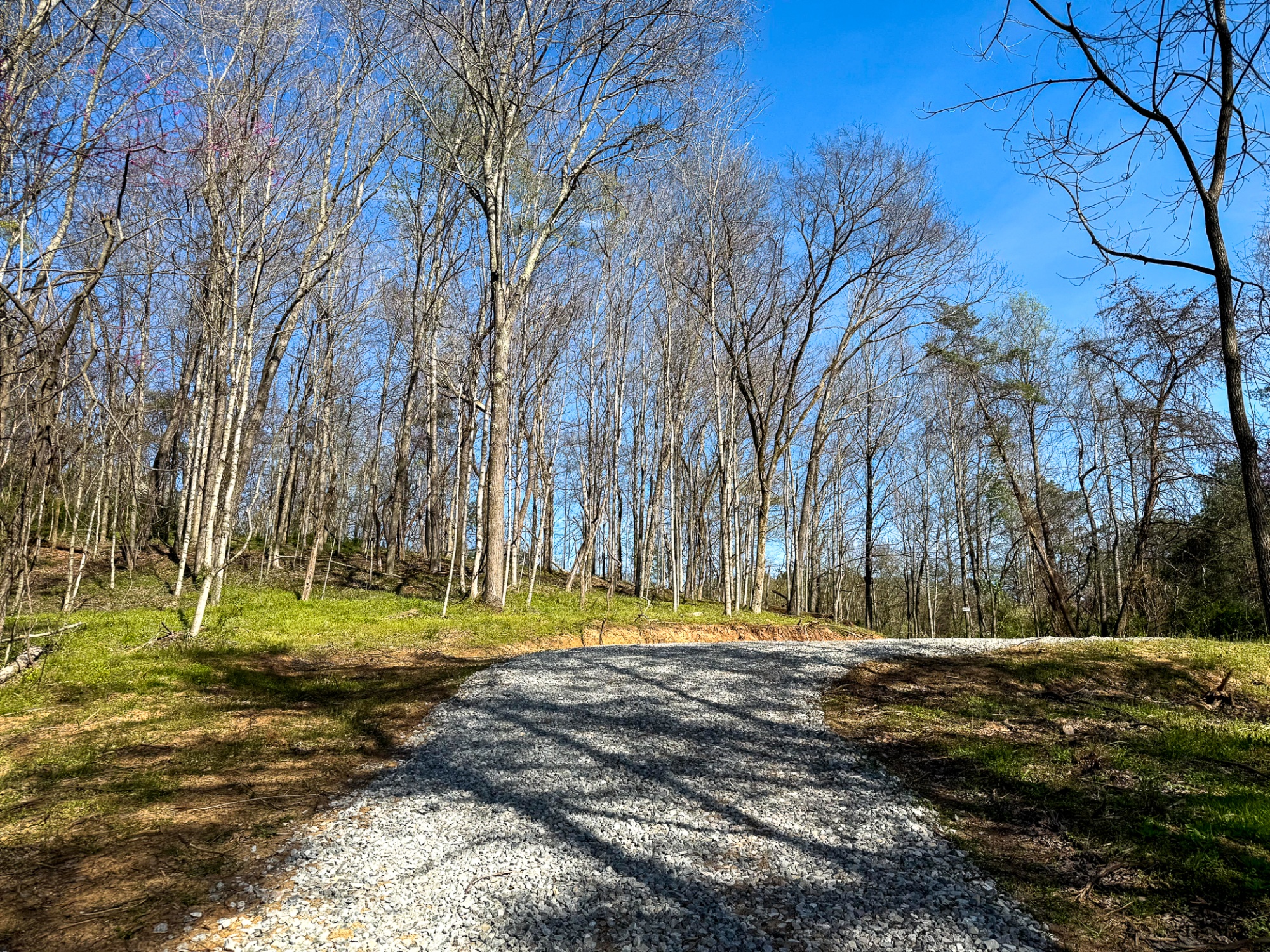
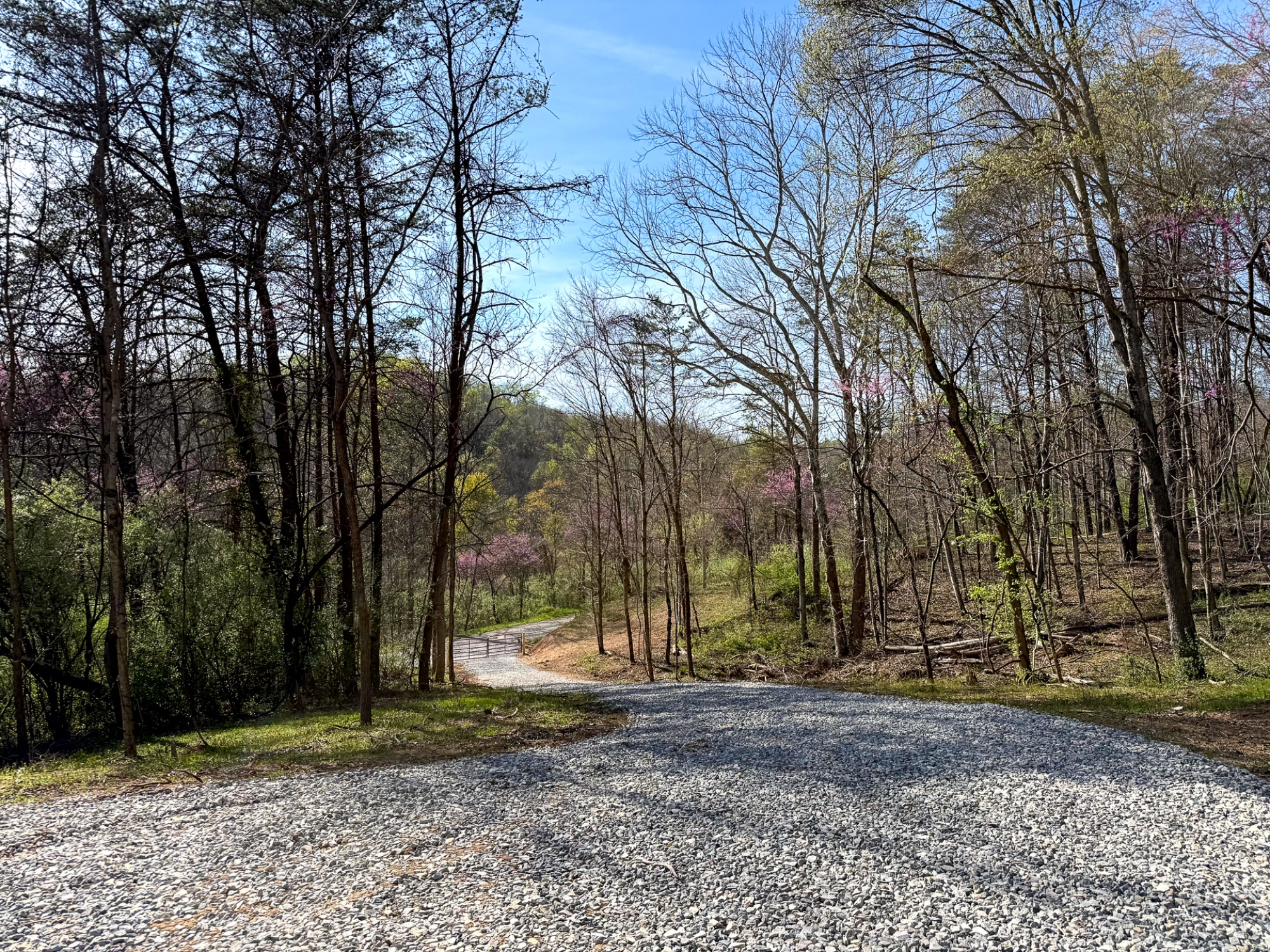
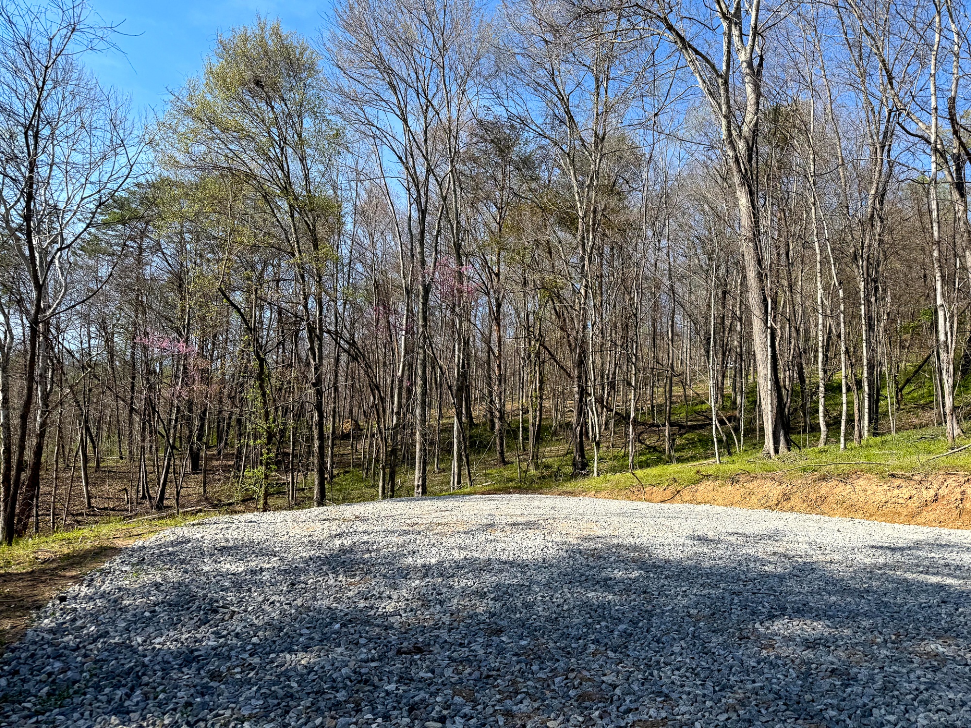
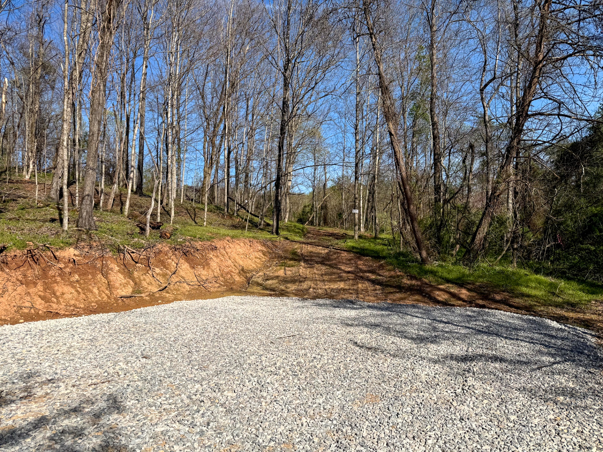
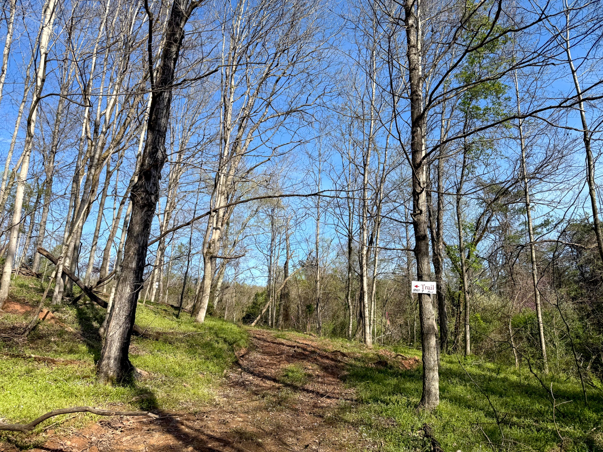
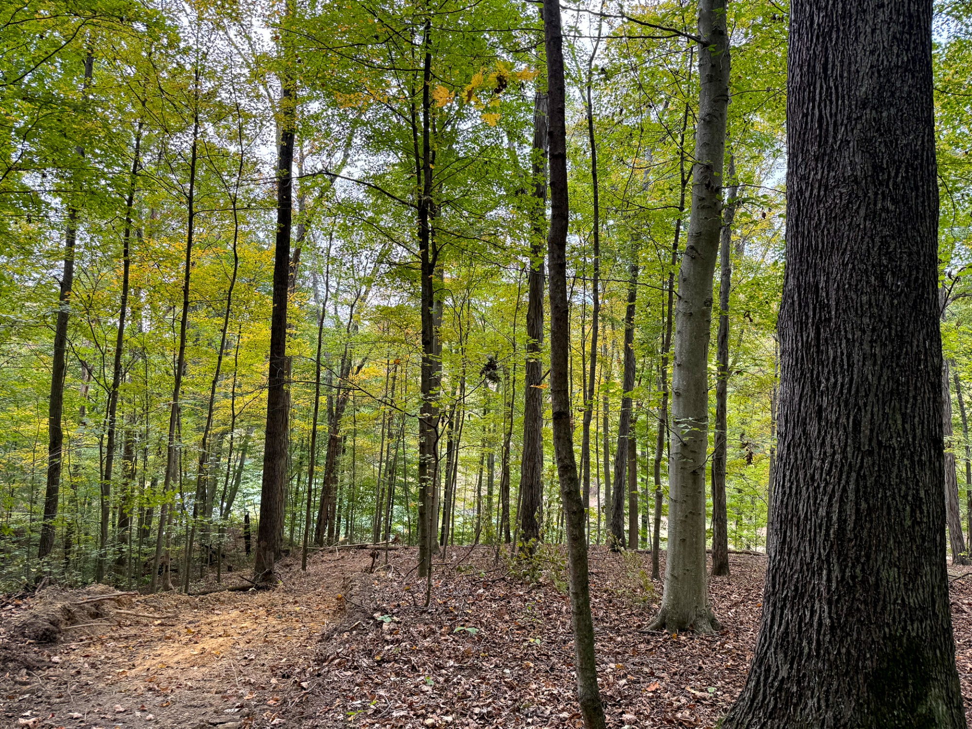
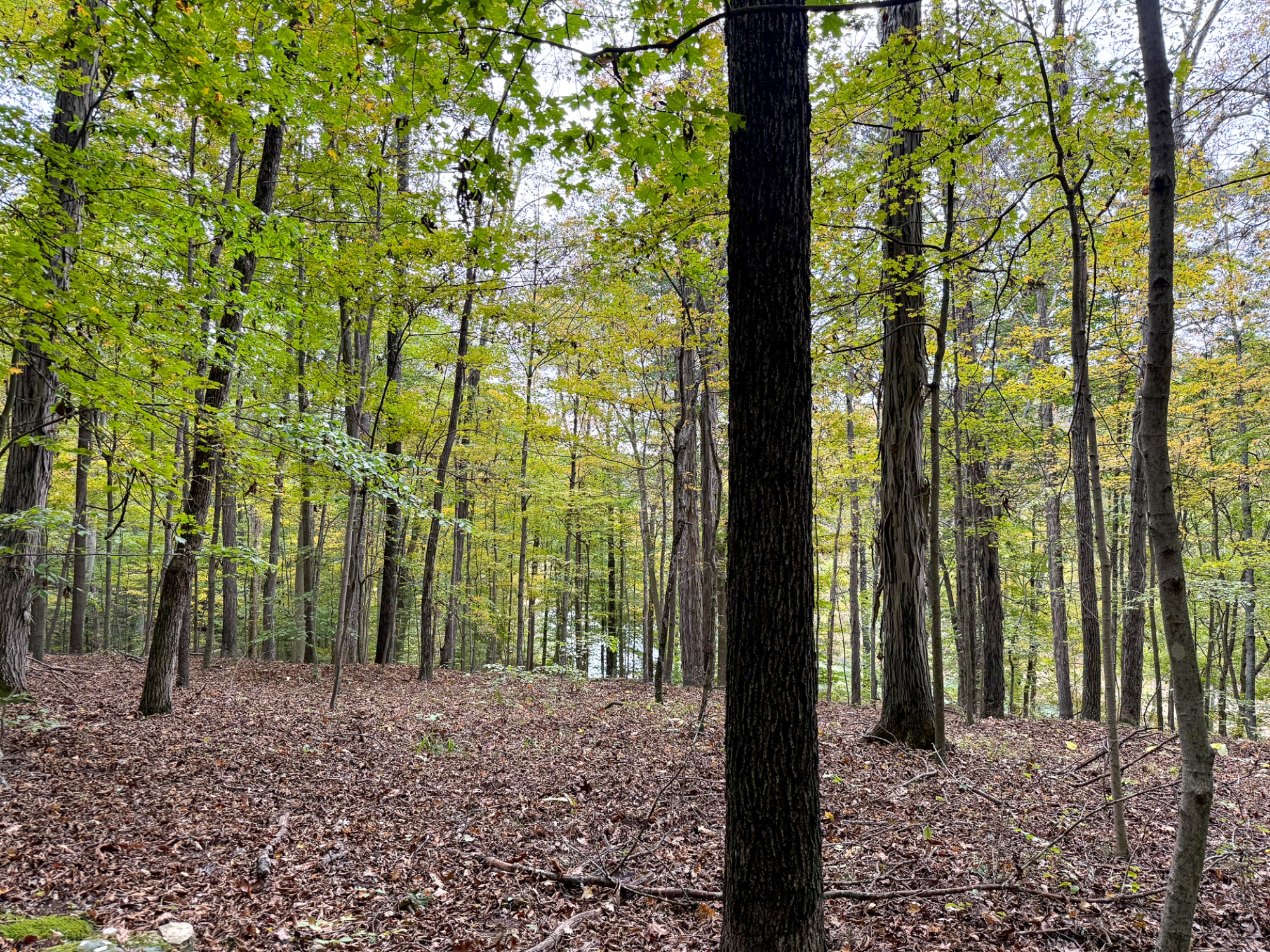
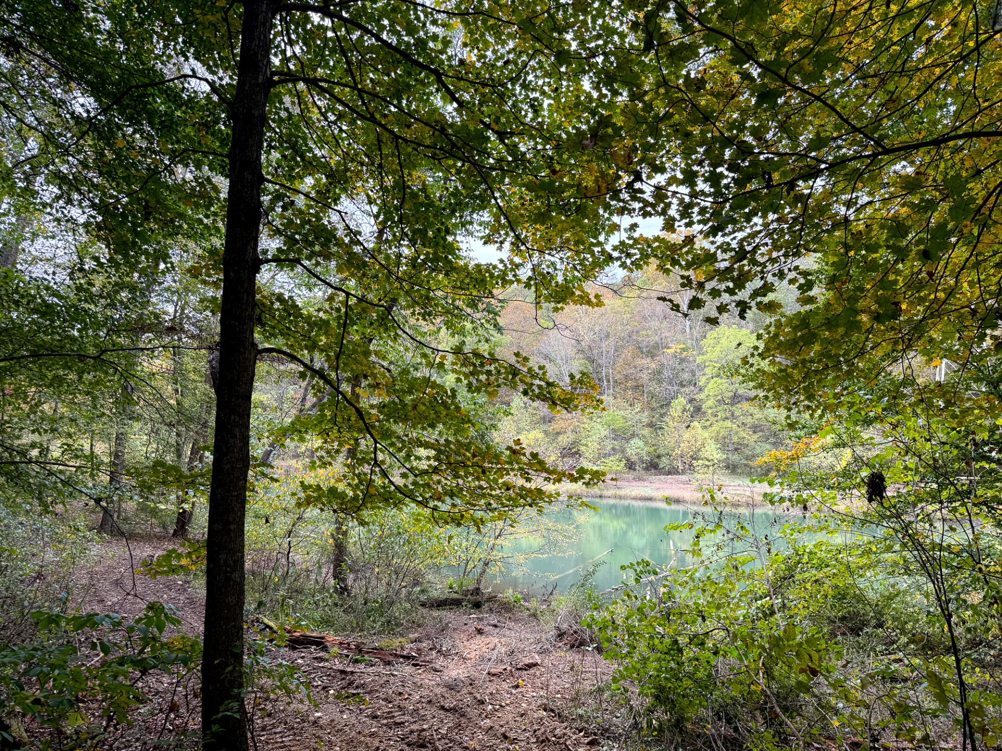
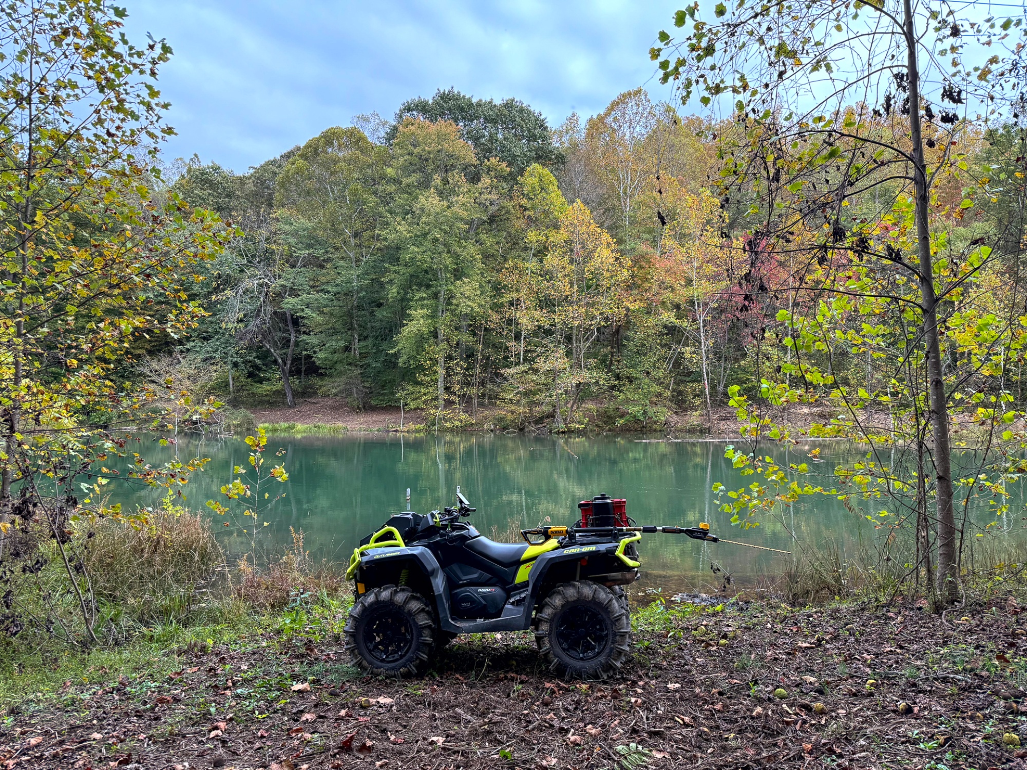
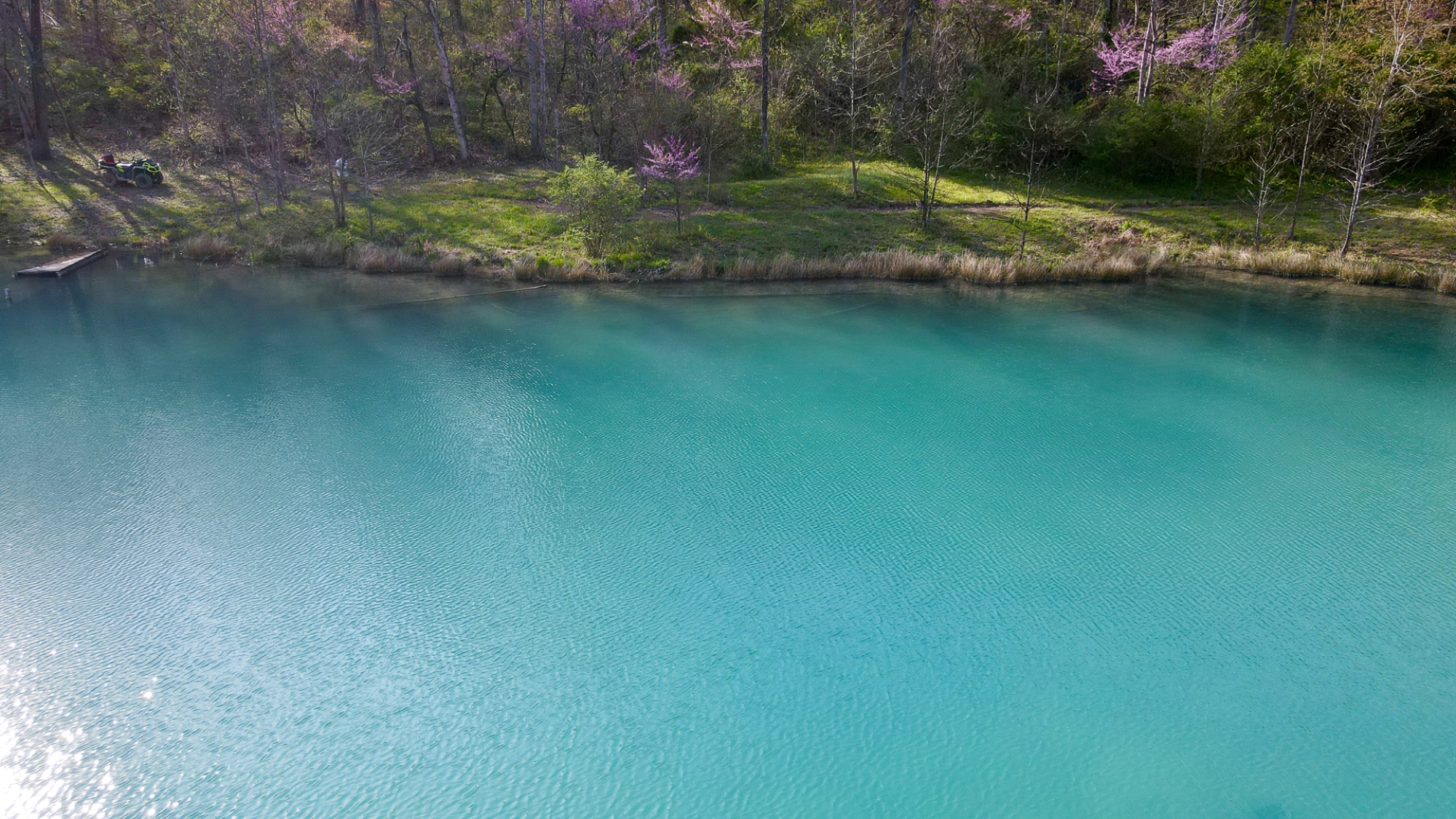
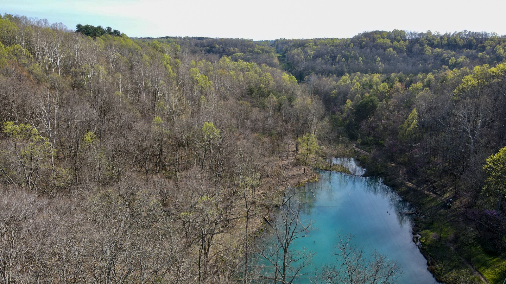
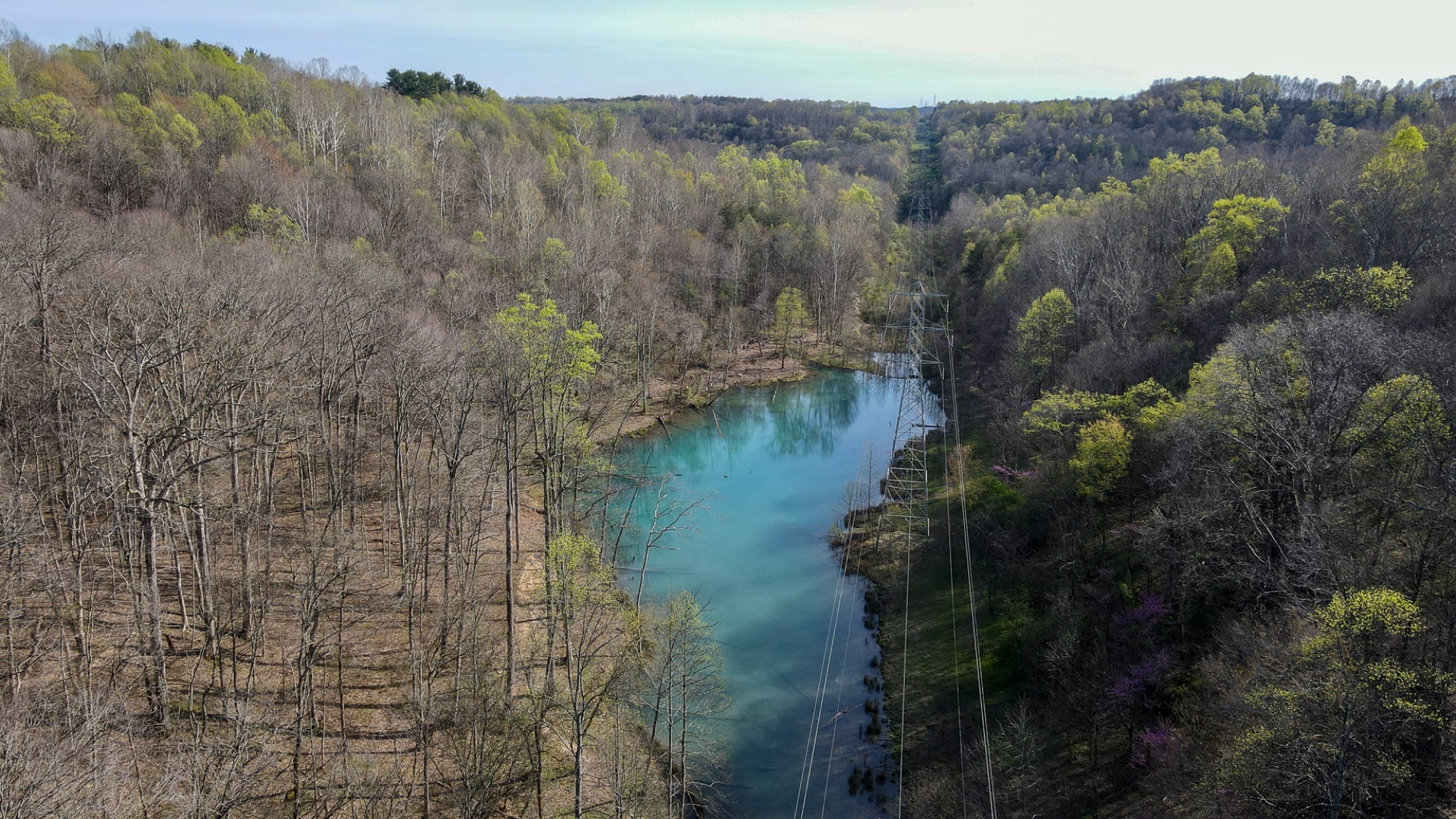
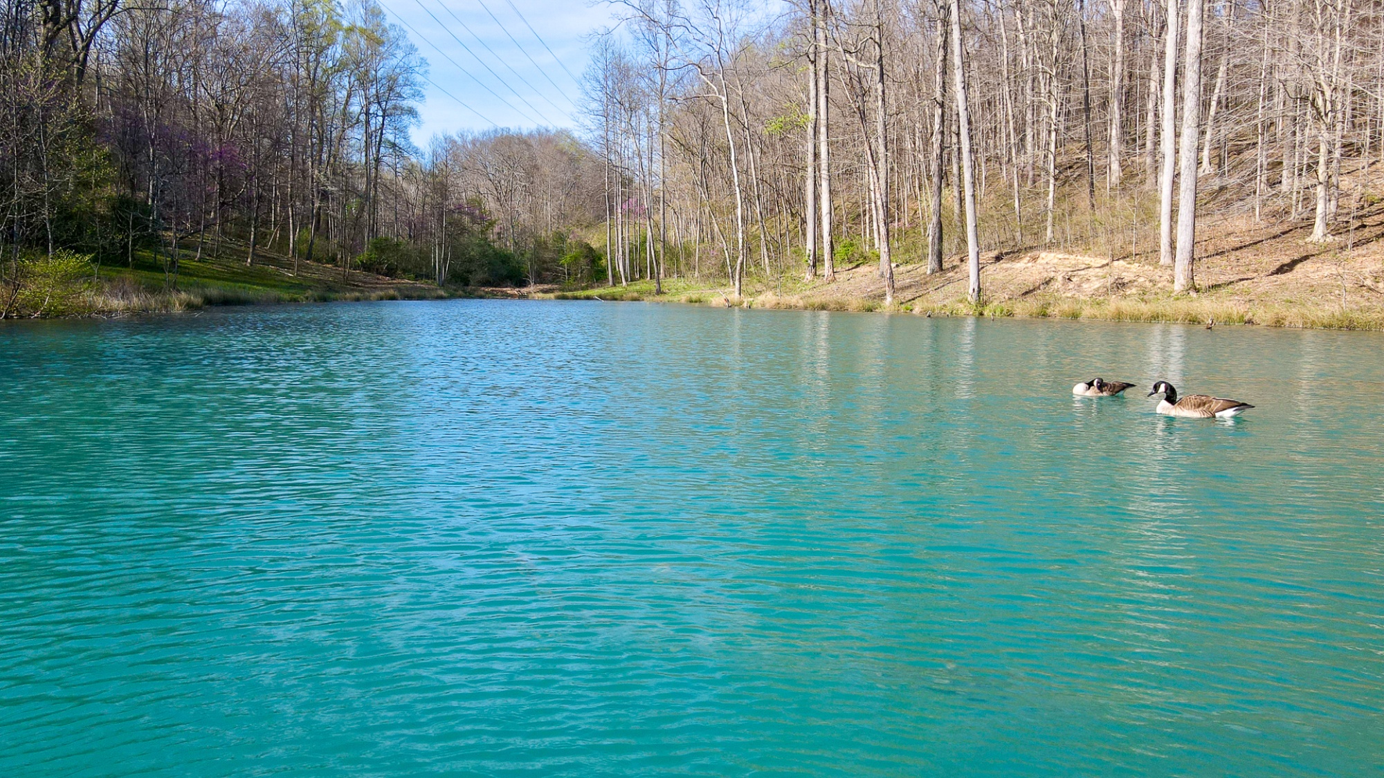
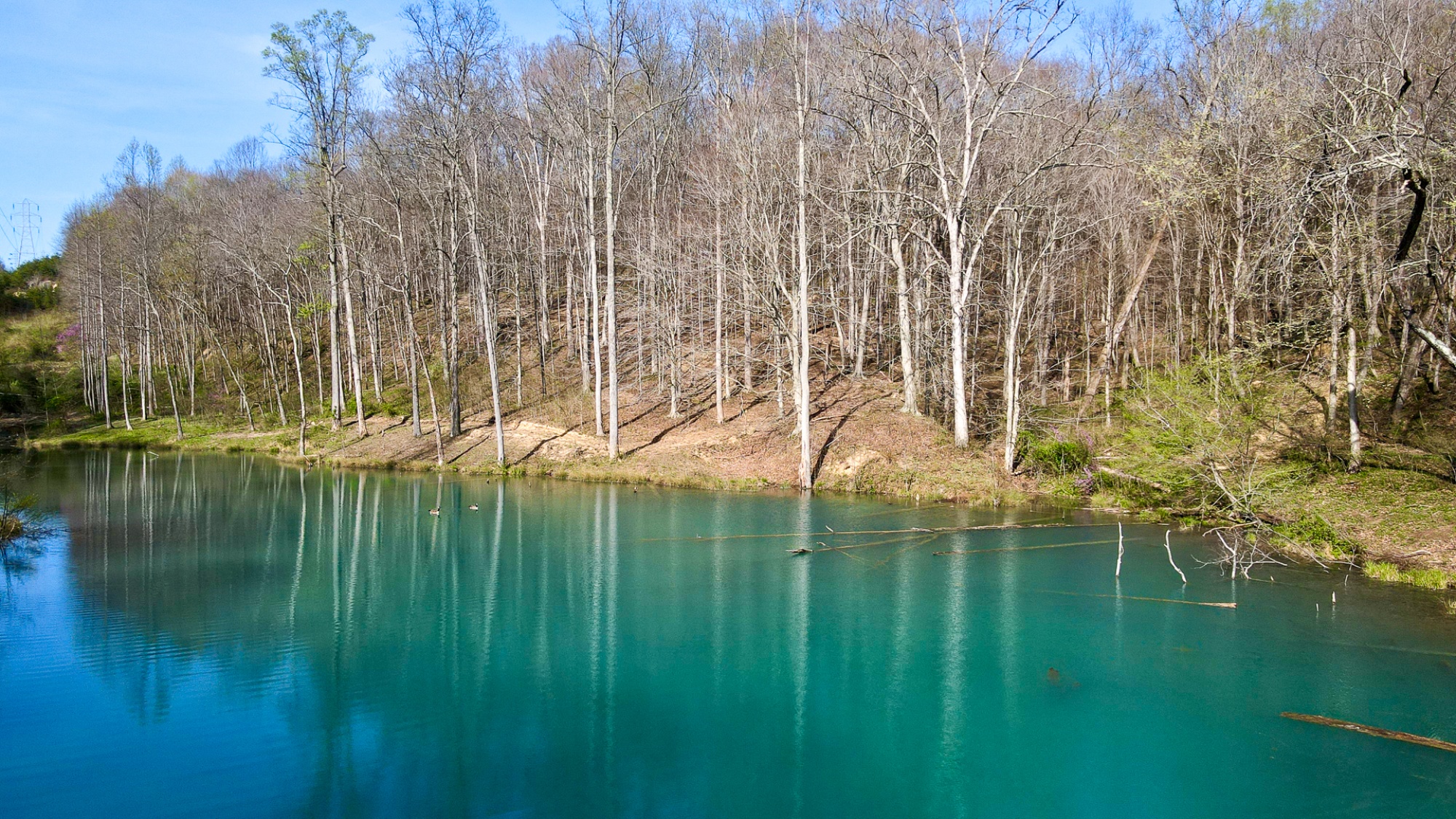
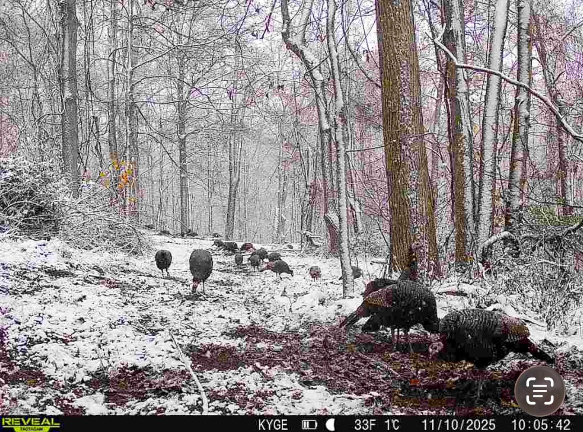
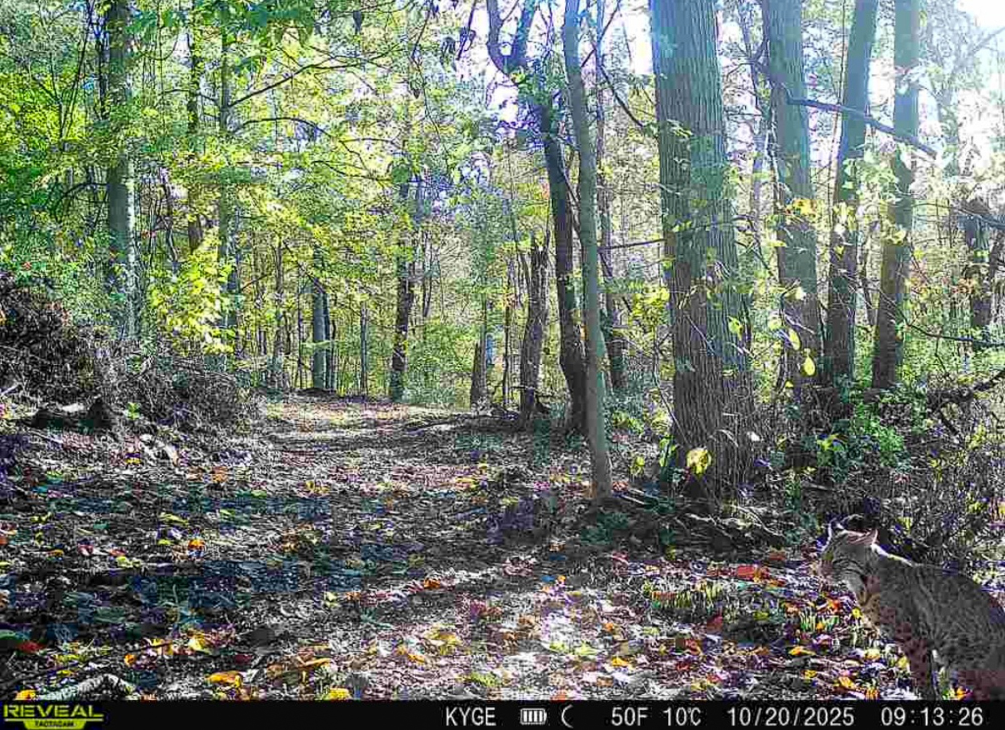
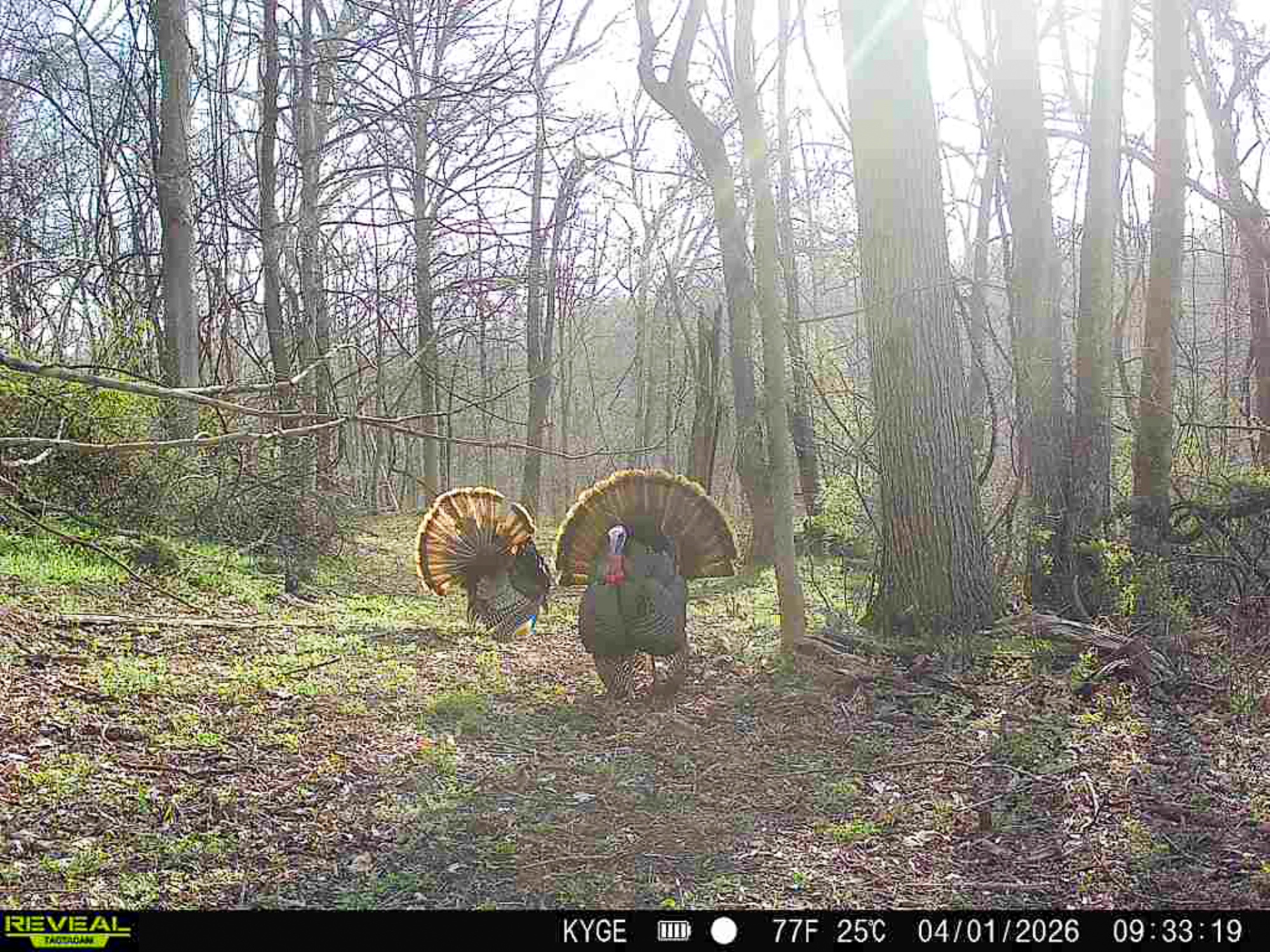
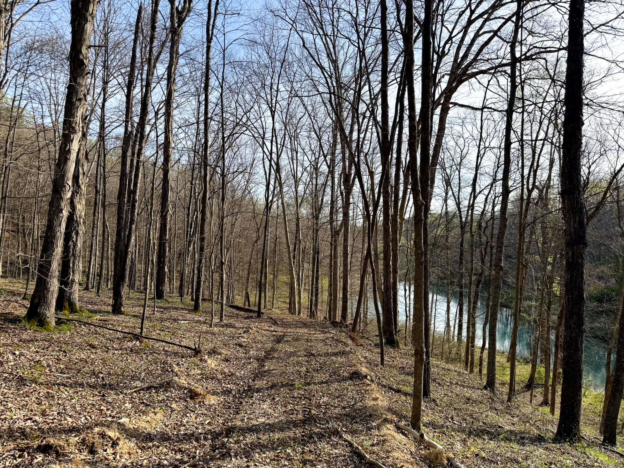
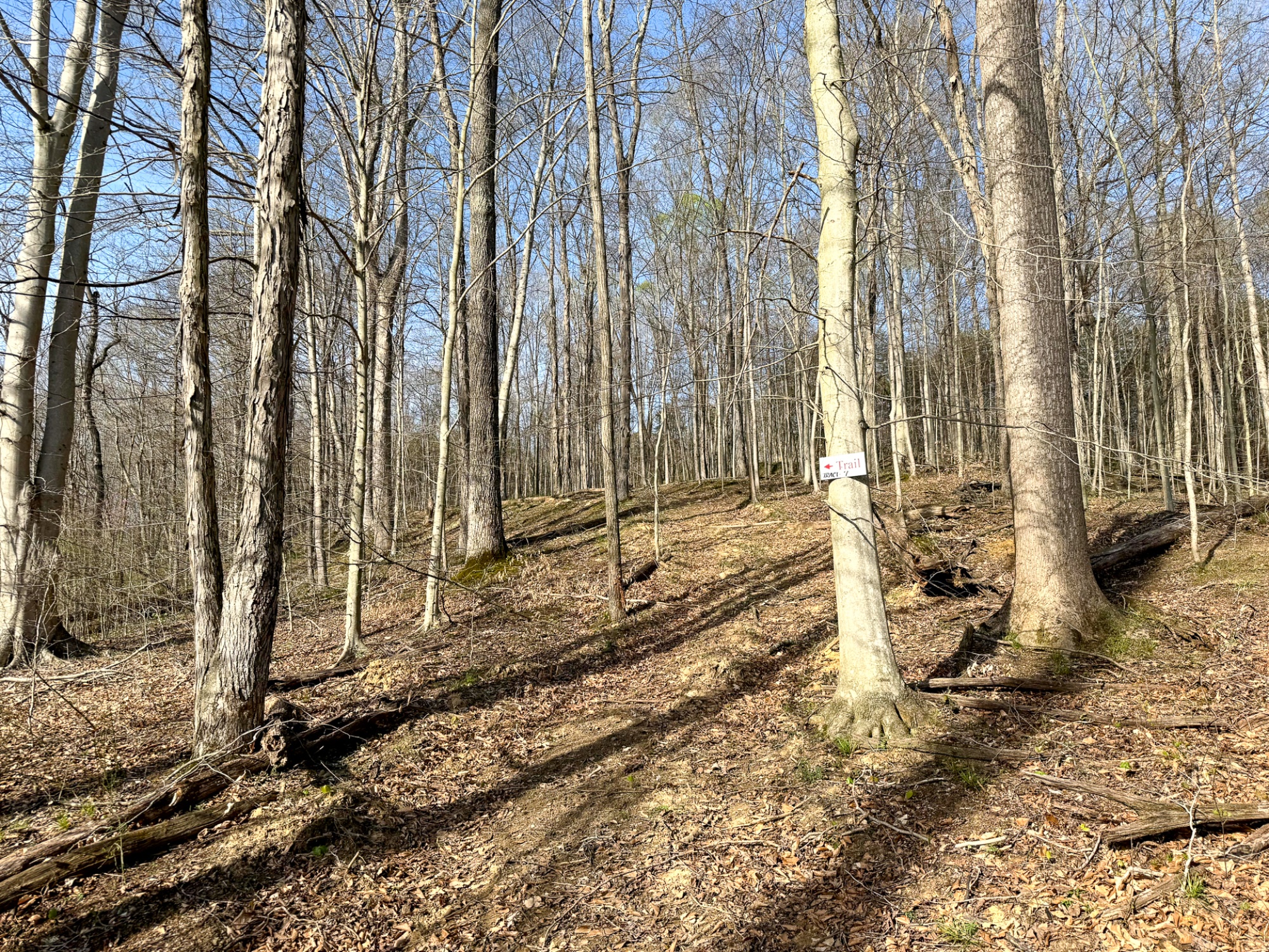
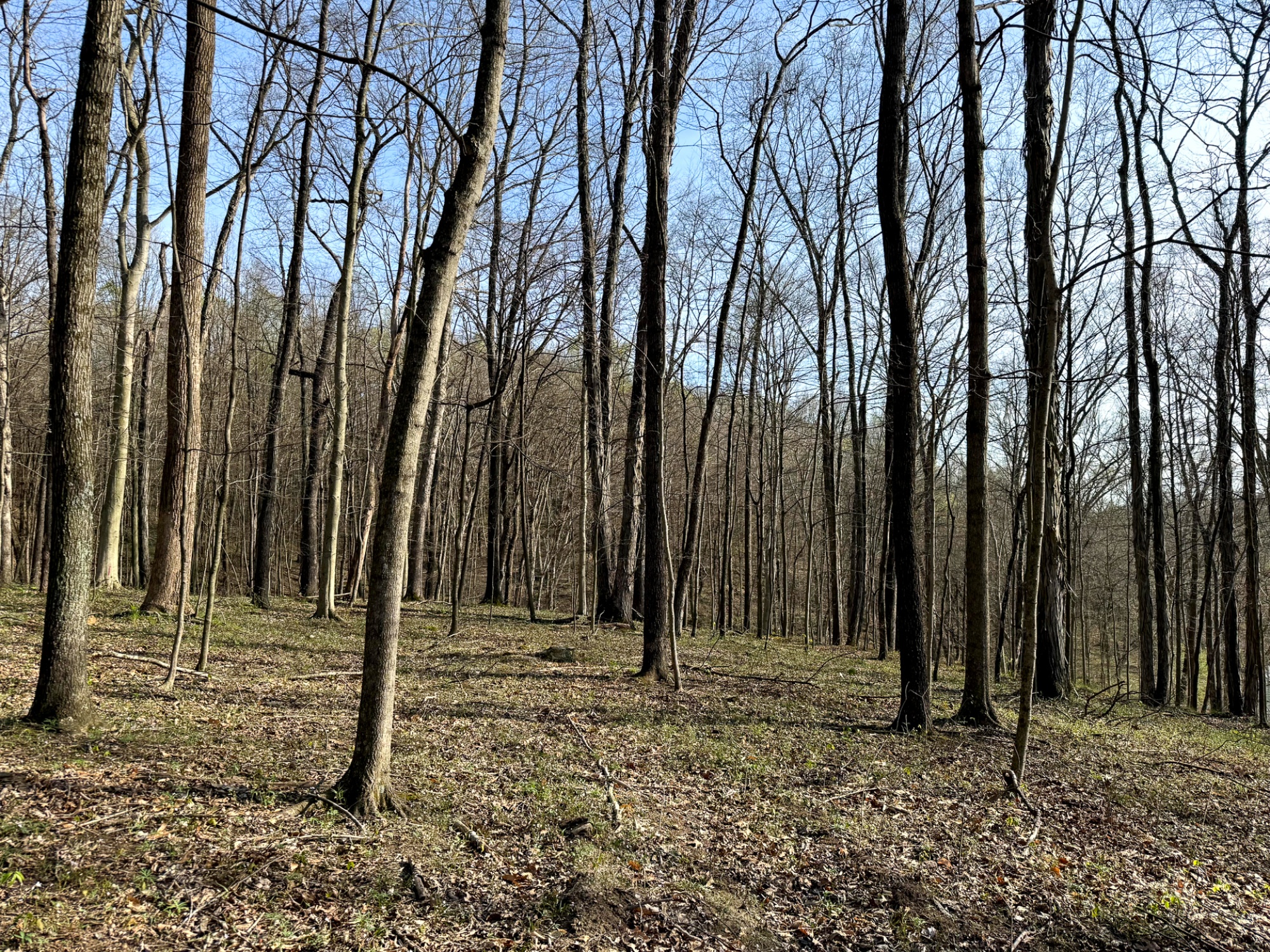
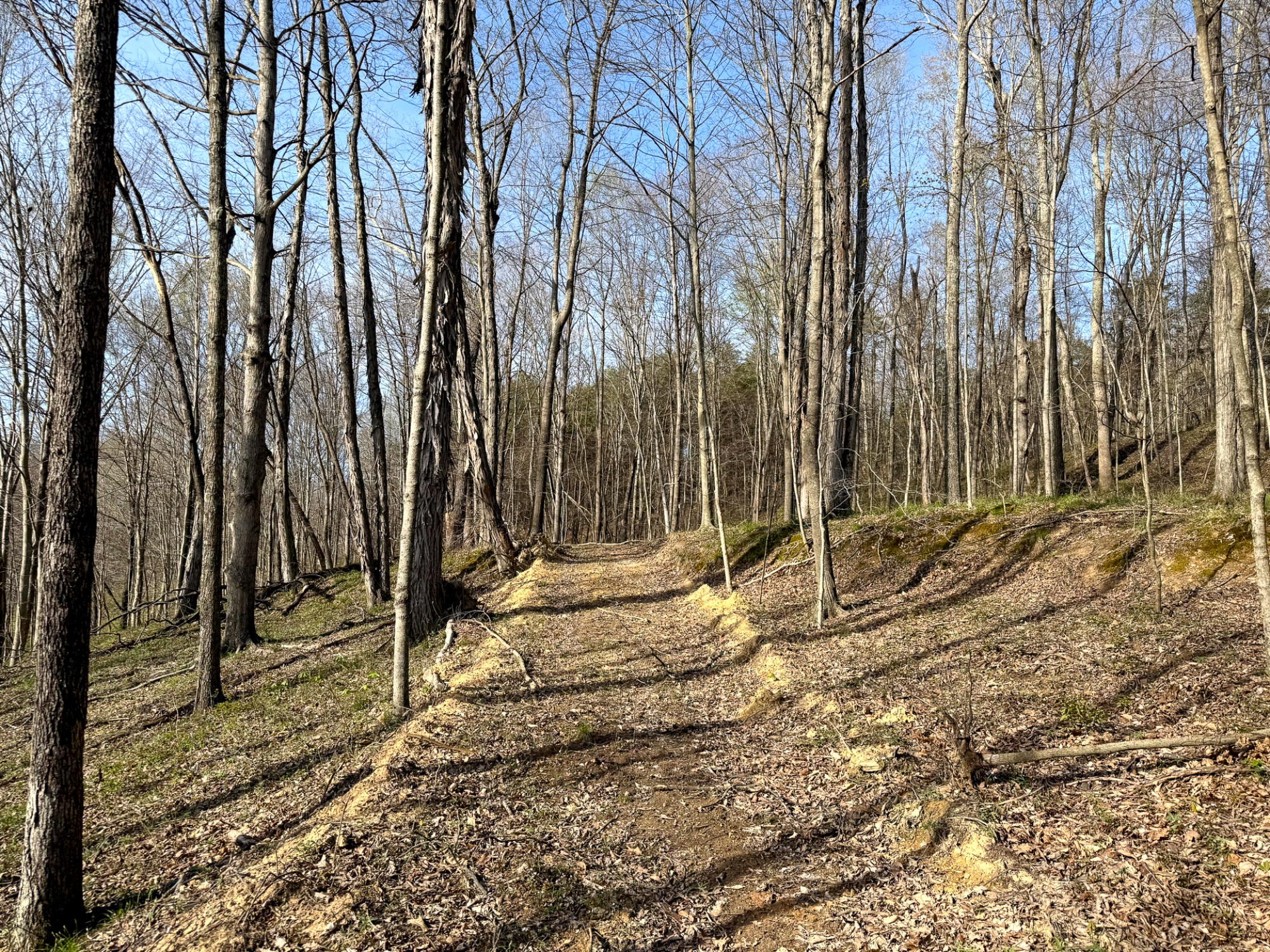
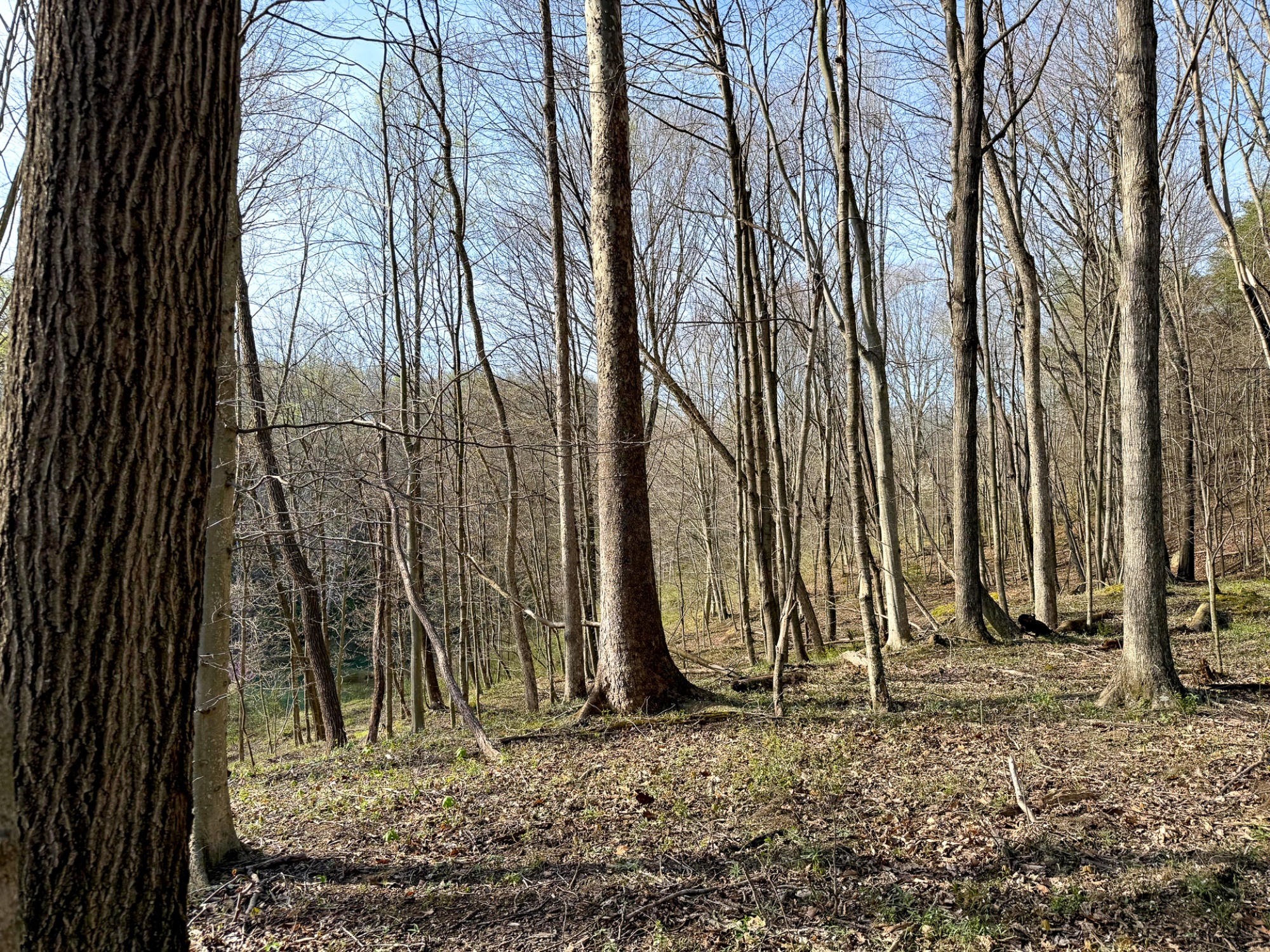
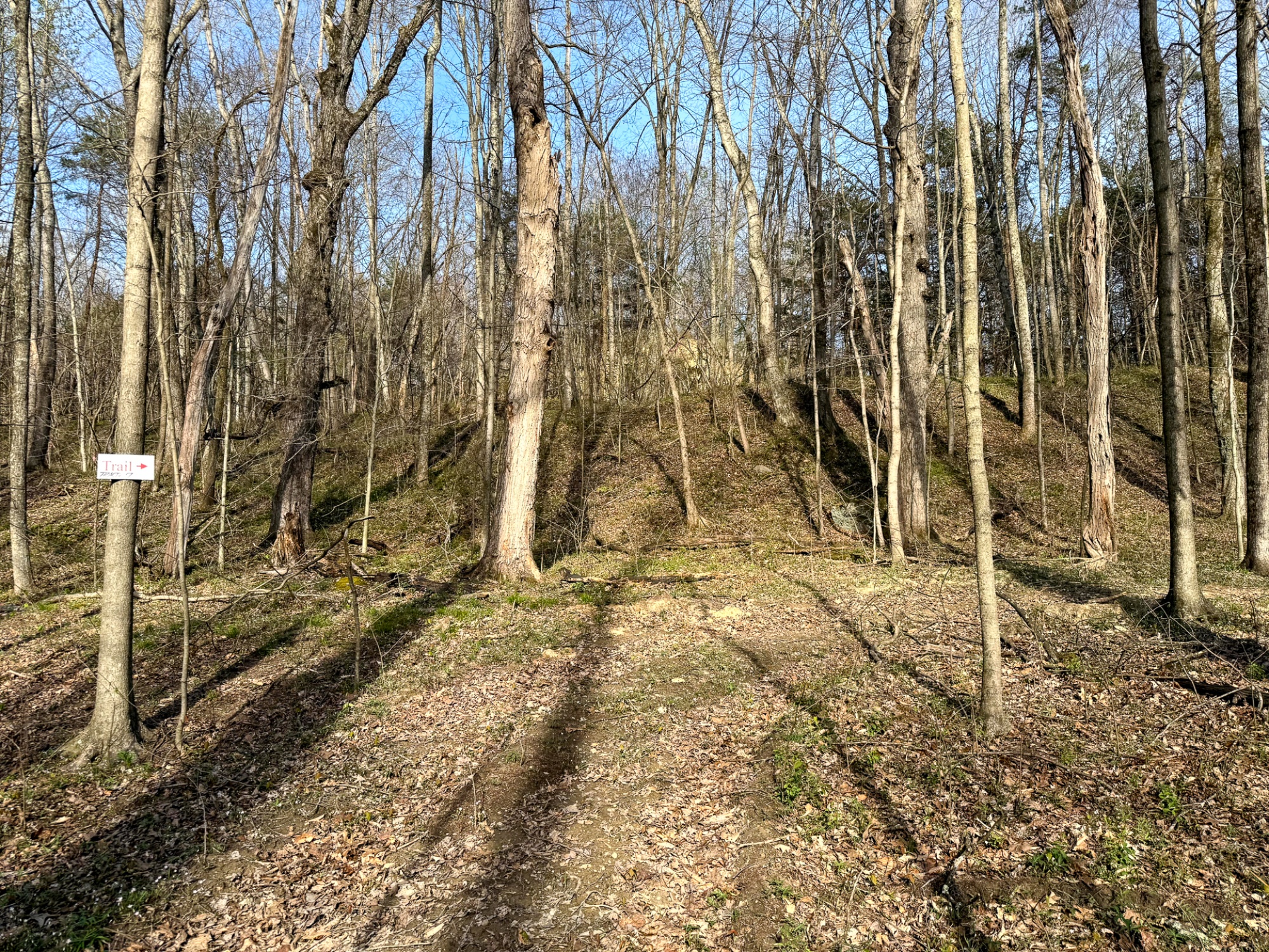
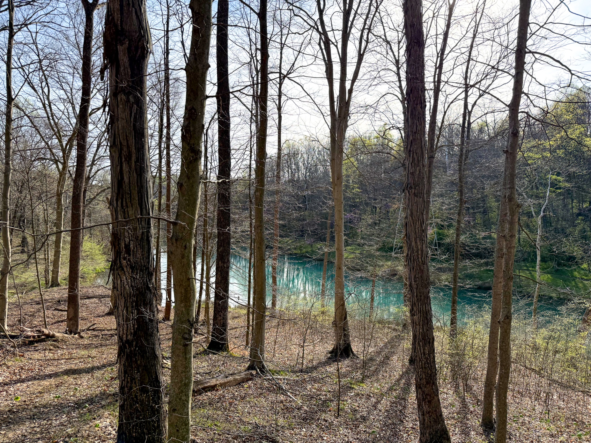
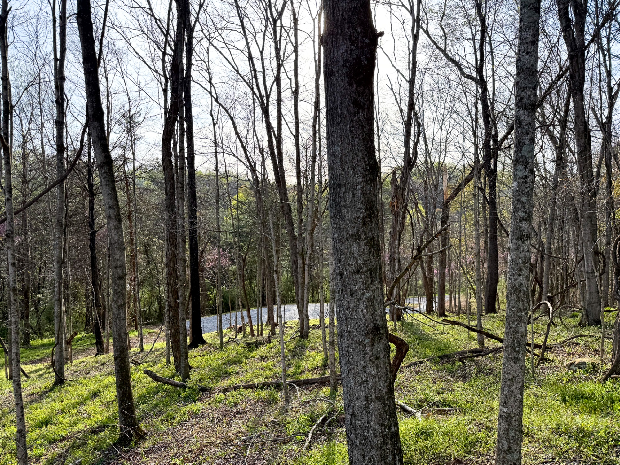
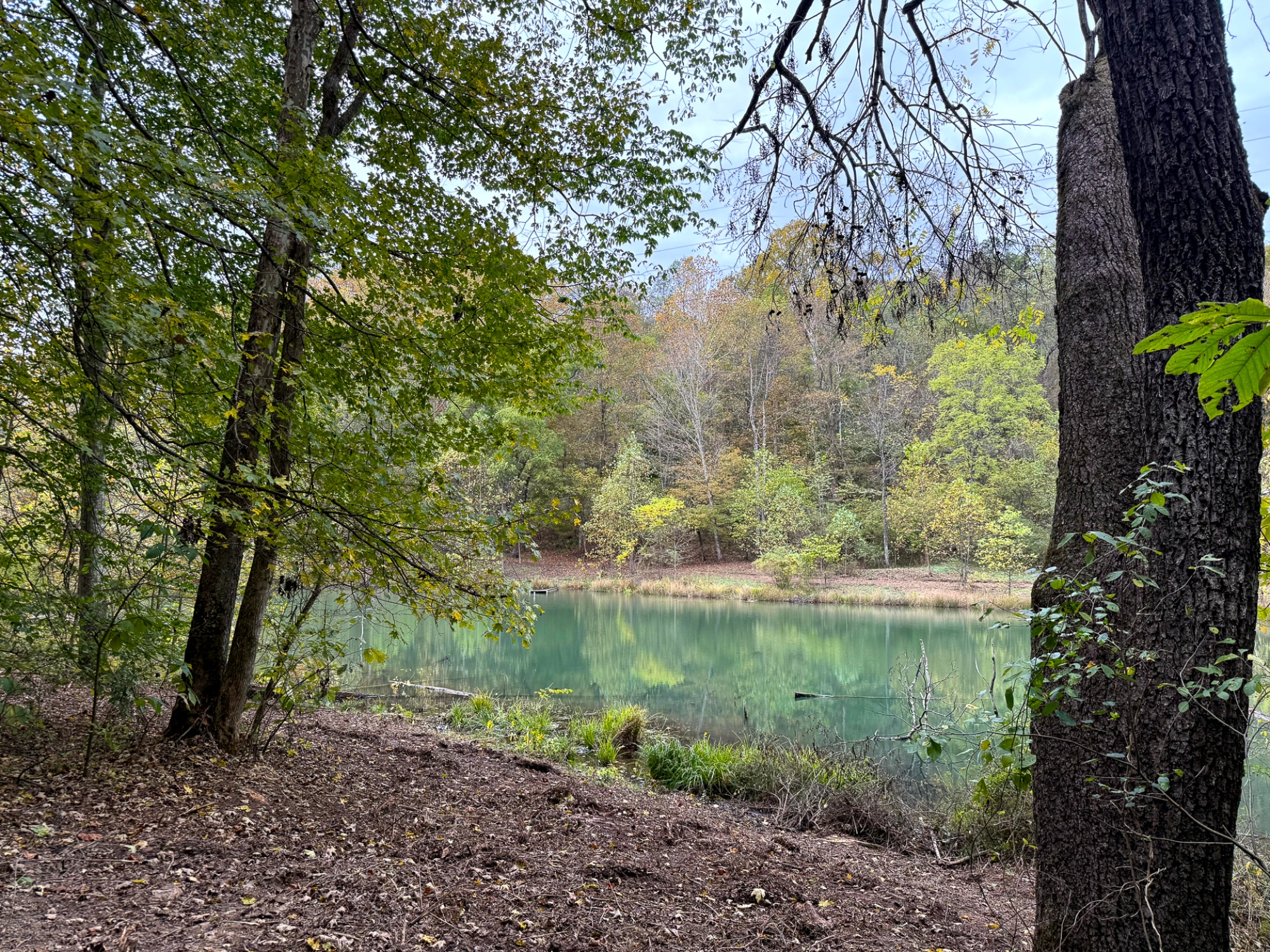
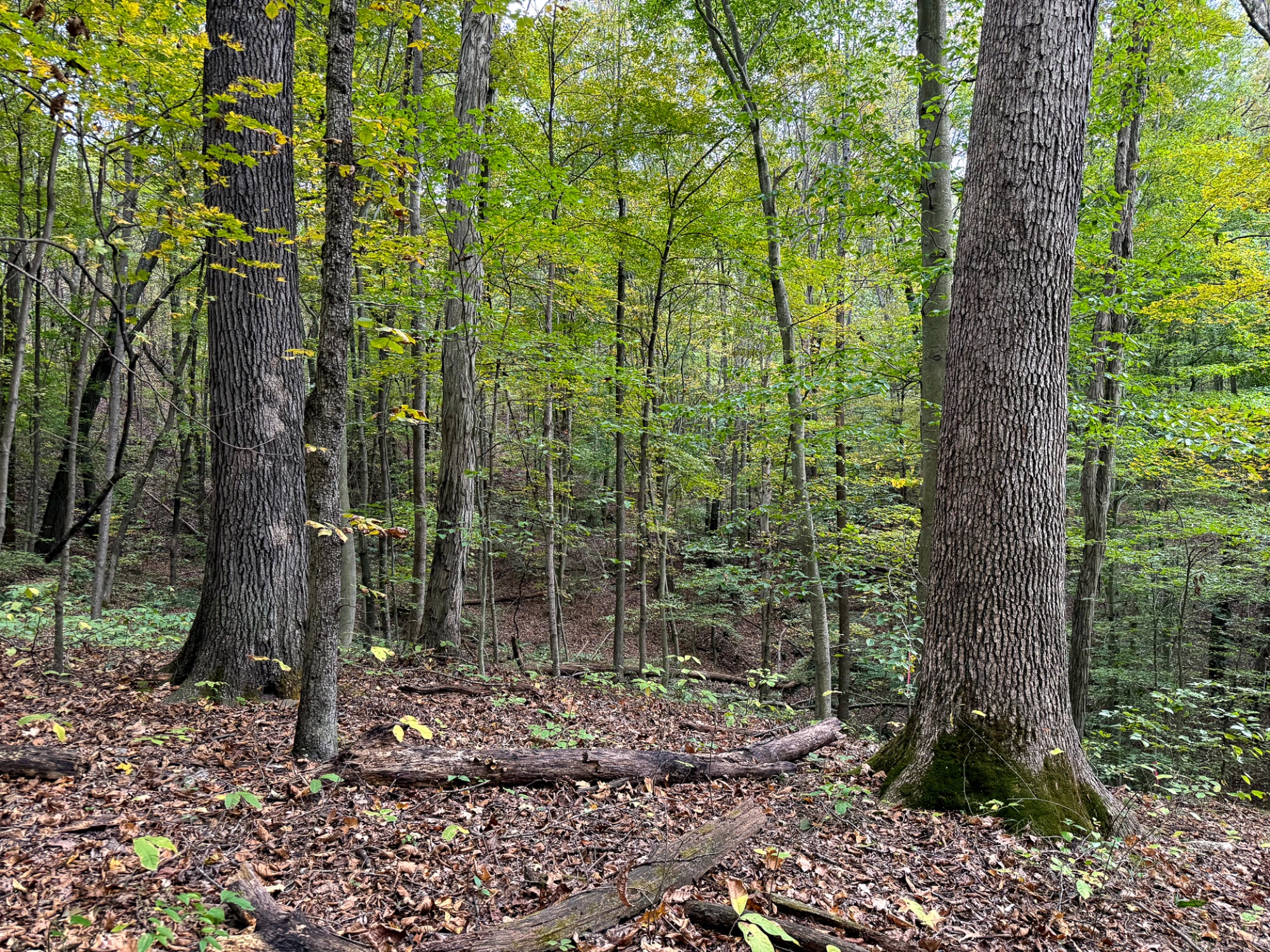
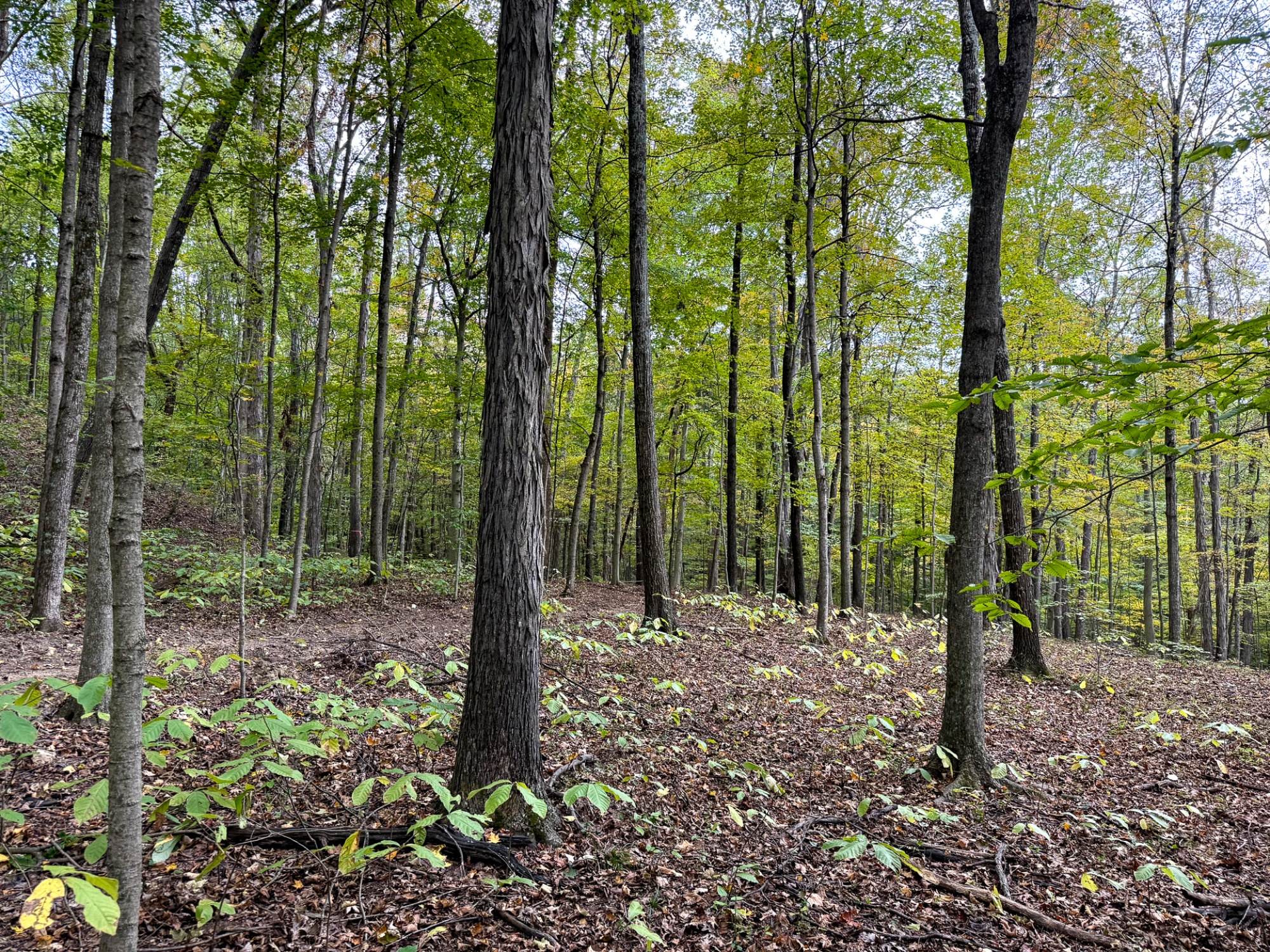
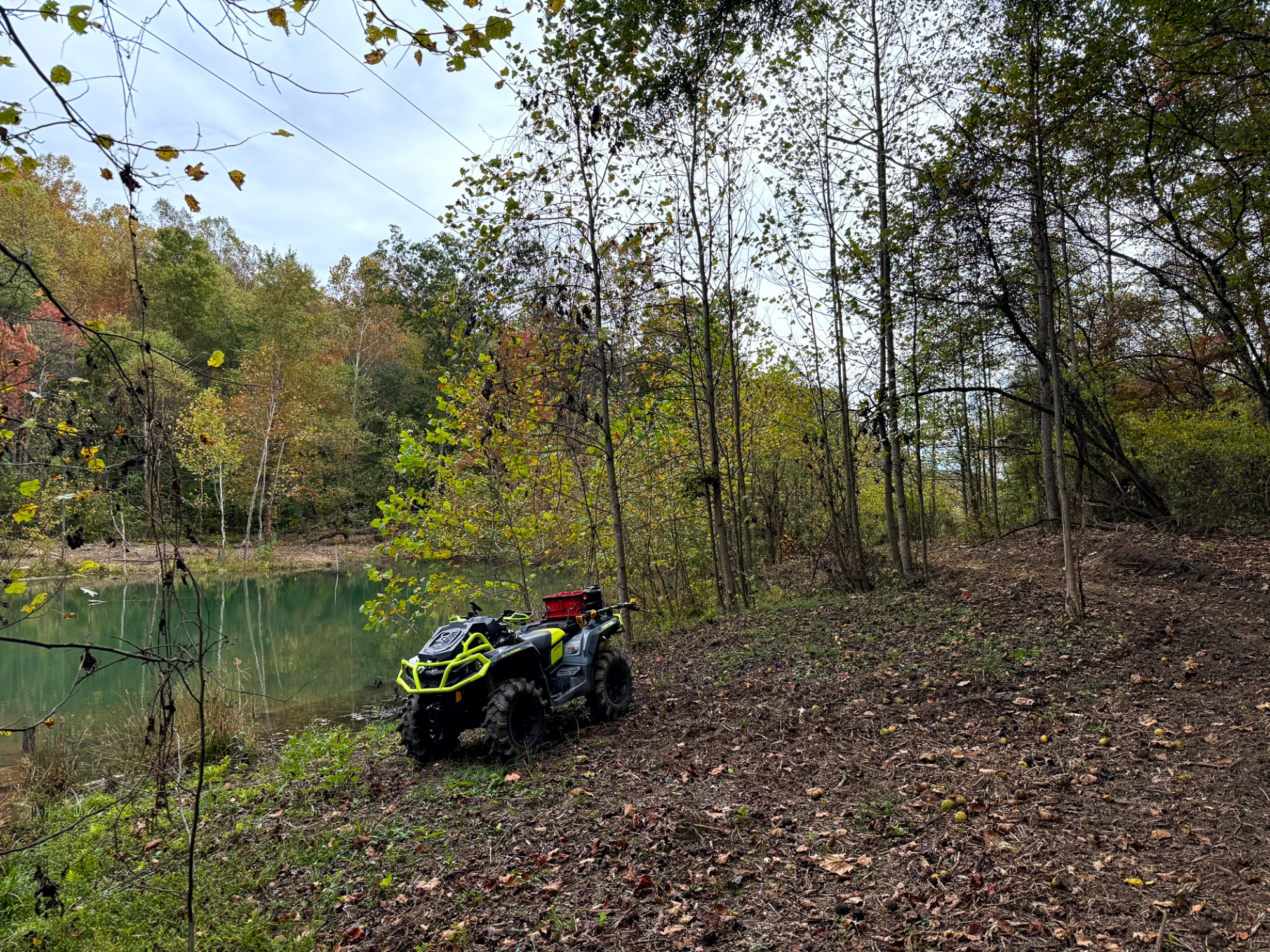
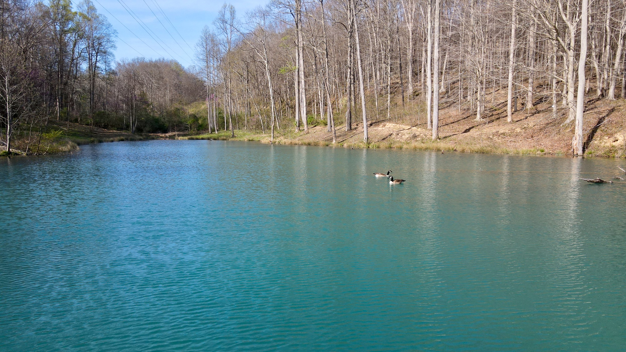
Tract 7 at The Woods at Little Kyger offers 18.366 acres of beautiful wooded ground with a picturesque park-like setting, a large pond, and the kind of peaceful privacy that makes it an ideal retreat. A new gated gravel driveway leads to a tucked-away destination spot surrounded by mature open-canopy woods, creating a beautiful setting for a cabin, home, or recreational getaway. The rolling topography adds both character and function, with stunning views of the pond and a natural layout well suited for a walkout basement. As you explore the property, you’ll find a trail system winding through the woods and leading to the pond, making it easy to enjoy the land on foot or by ATV. The mature timber, appraised at $20.6K, adds meaningful value, while the mix of woods, water, and terrain creates excellent wildlife habitat throughout. Deer and turkey are known to frequent the area, making this tract especially appealing for hunting and outdoor recreation. Located just one mile from the AEP/ODNR Southern Ohio Recreation and Hunting Area with over 1,300 acres, this property offers a quiet remote country setting with outstanding recreational opportunities both on the tract and throughout the surrounding area.
The Woods at Little Kyger is Located:
0 Little Kyger Rd, Cheshire, OH 45620
(Address may not map correctly, use GPS Coordinates)
GPS Coordinates : 38.952822, -82.176116
A Countrytyme advantage
Take the property lines into the field.
On your phone, tap Walk property lines, allow your location when asked, and follow the blue dot in Tract Explorer to see your position in relation to the mapped boundary while you explore.
Walk property linesProperty photos