Walk this property with confidence.
Use GPS directions to reach the tract. Then open the property lines on your phone and follow your blue location dot as you walk, so you can see where you are in relation to the boundaries.
Interactive property map
See the land before you visit.
Switch aerial, topographic, soil, water, contour, and terrain layers while the mapped project boundary stays visible.
Property Documents
- The Woods at Turkey Run - Aerial Map.pdf
- The Woods at Turkey Run KML.KML
- The Woods at Turkey Run Parks Location Map.pdf
- The Woods at Turkey Run Phase 1 - Recorded Plat - PB6-PG64.pdf
- The Woods at Turkey Run, Phase 1 - Covenants and Restrictions.pdf
- The Woods at Turkey Run, Phase I - Roadway Maintenance Agreement.pdf
- Soils - The Woods at Turkey Run (Tract1).pdf
- Soils - The Woods at Turkey Run (Tract2).pdf
- Soils - The Woods at Turkey Run (Tract3).pdf
- Soils - The Woods at Turkey Run (Tract4).pdf
- Soils - The Woods at Turkey Run (Tract5).pdf
- Soils - The Woods at Turkey Run (Tract6).pdf
Property Description
Lot 2 - The Woods at Turkey Run5.3 Ac Wooded Cabin/Home Site or Recreational Retreat with Pond
Dutch Ridge Rd, New Lexington, Ohio
Perry County
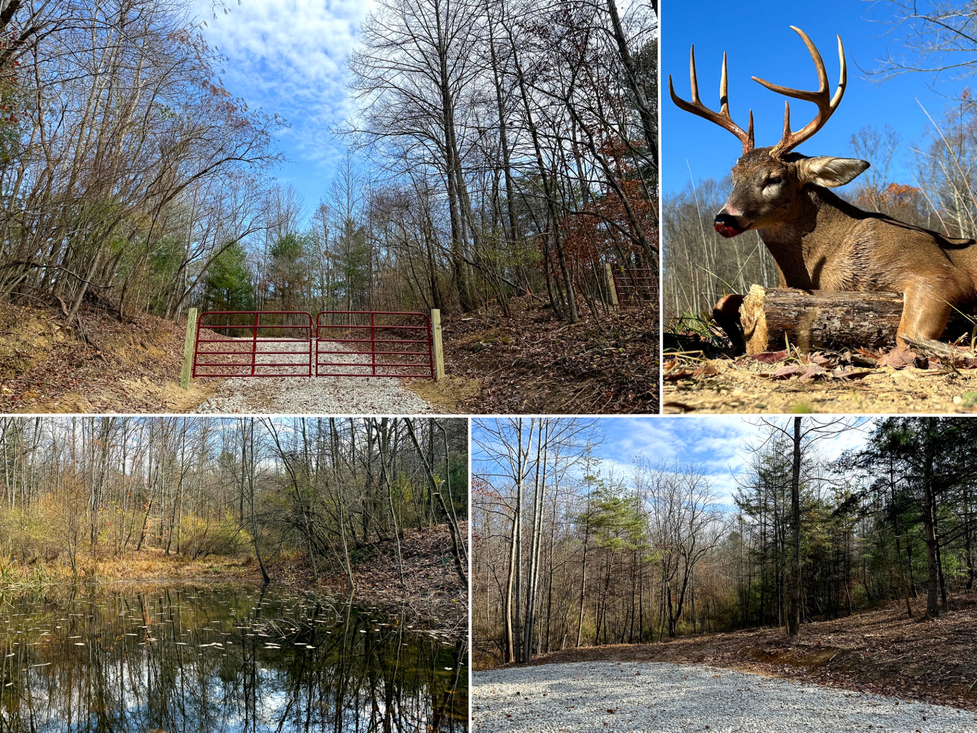
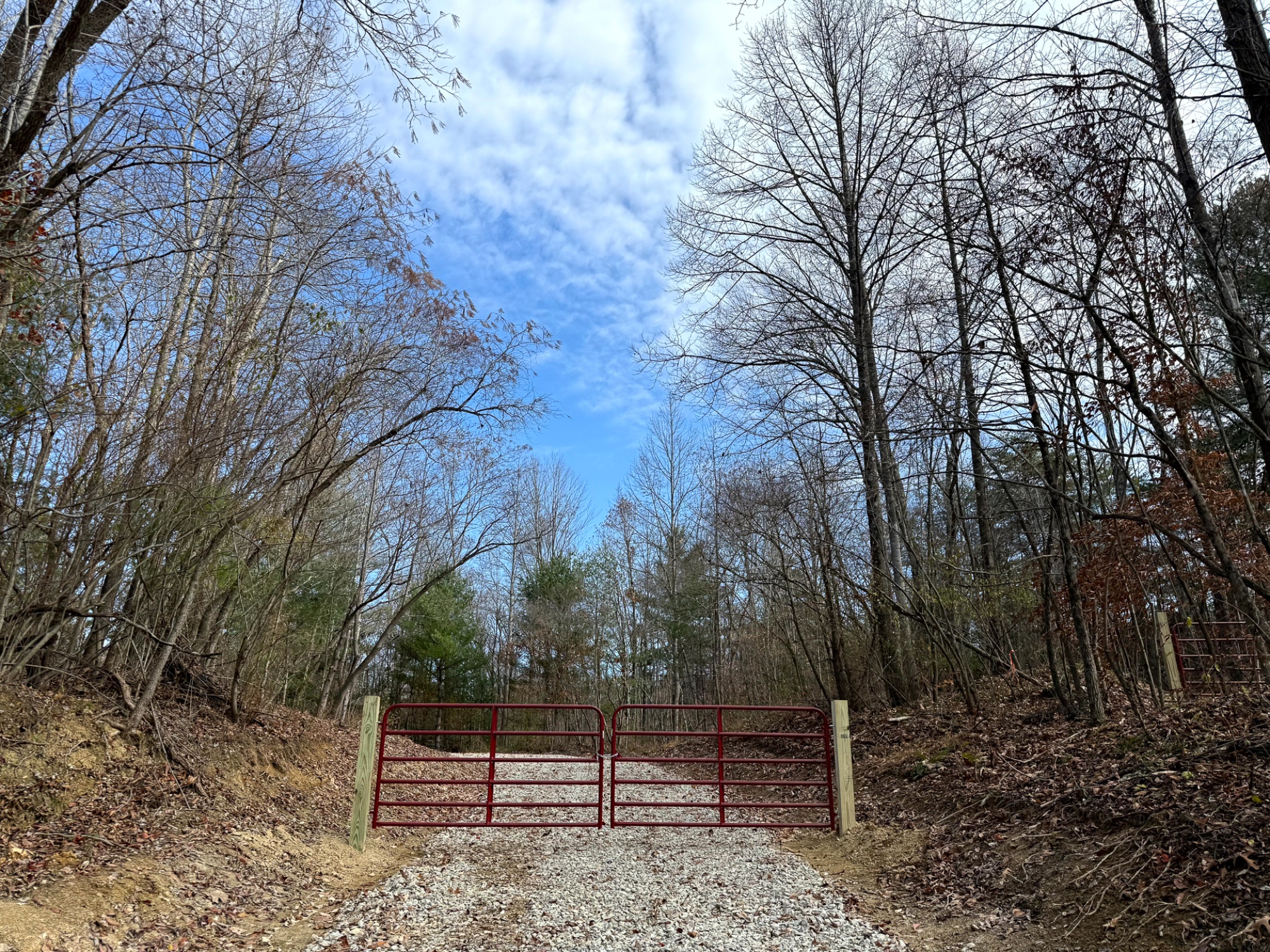
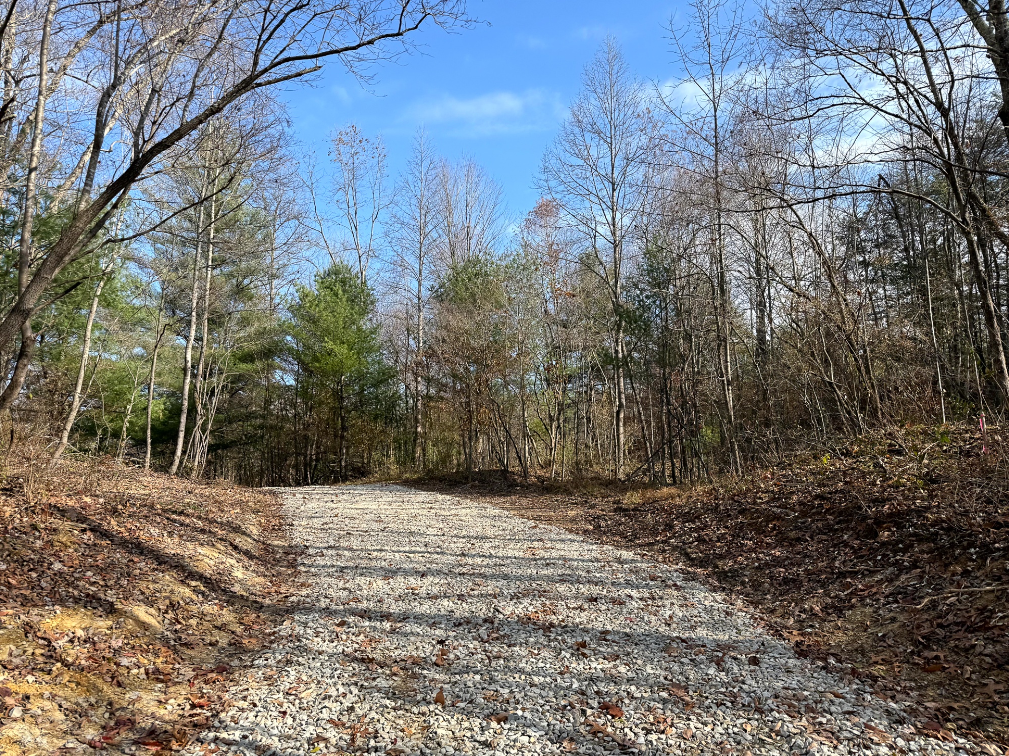
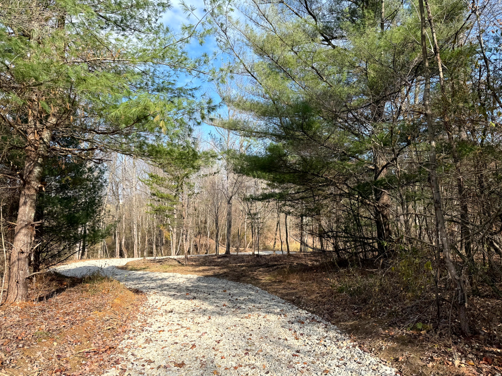
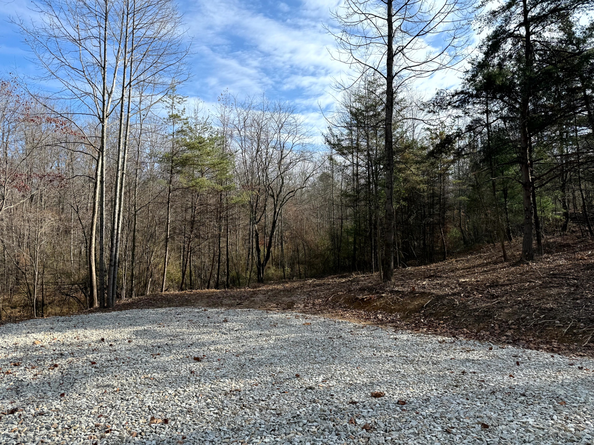
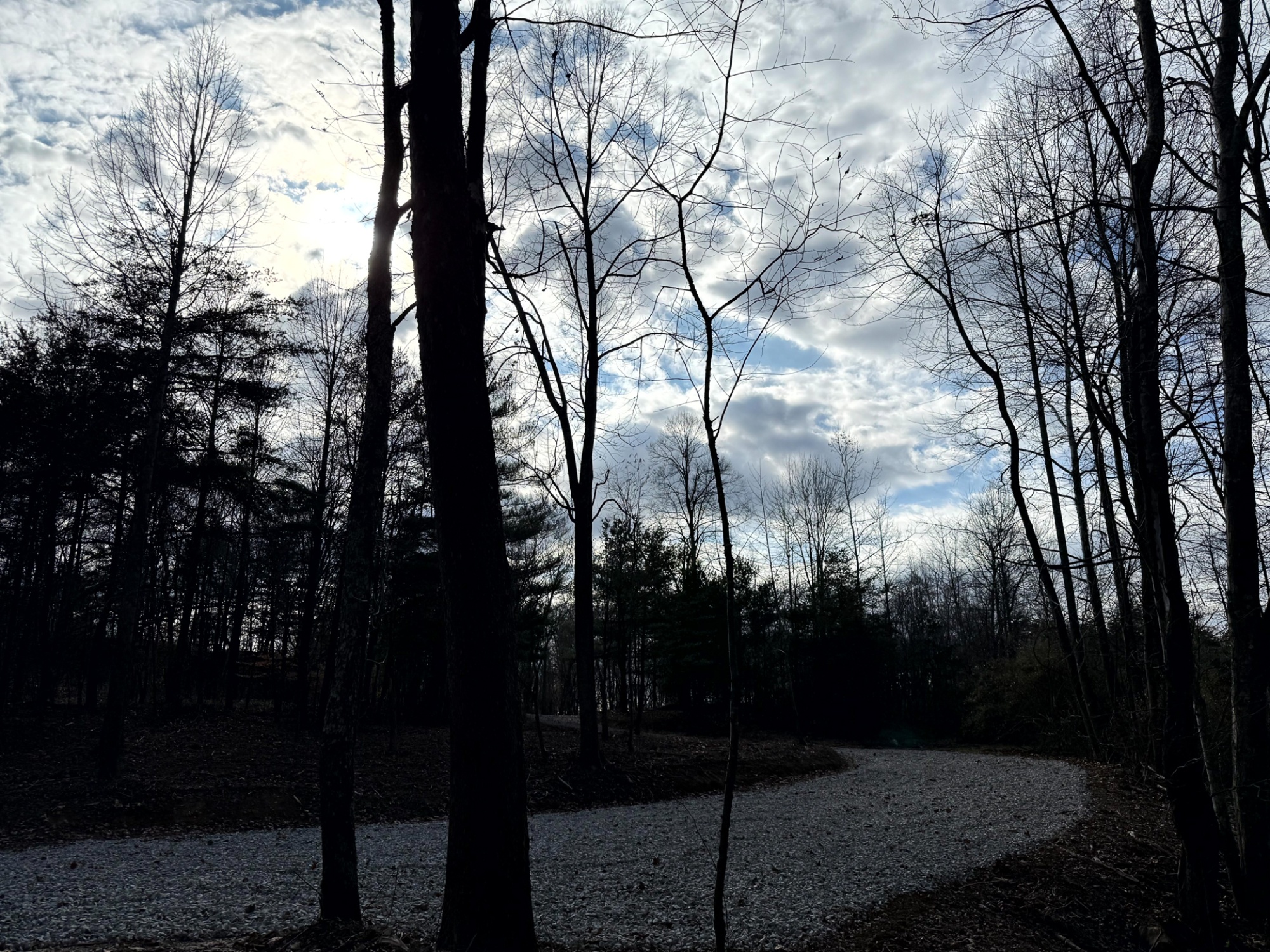
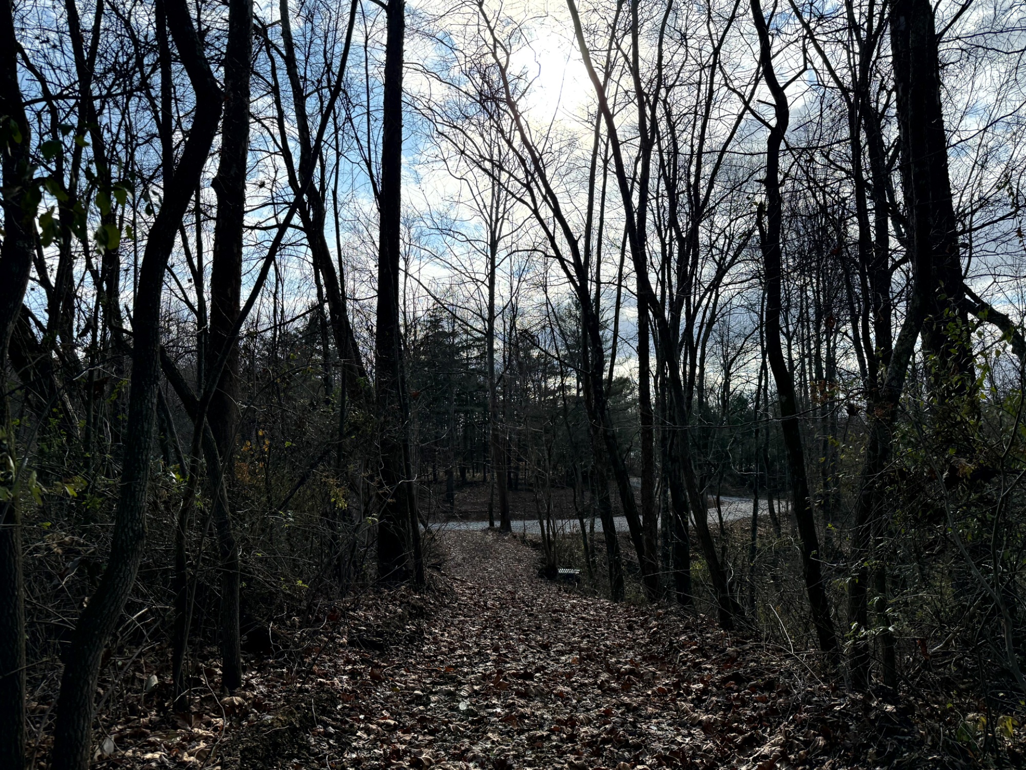
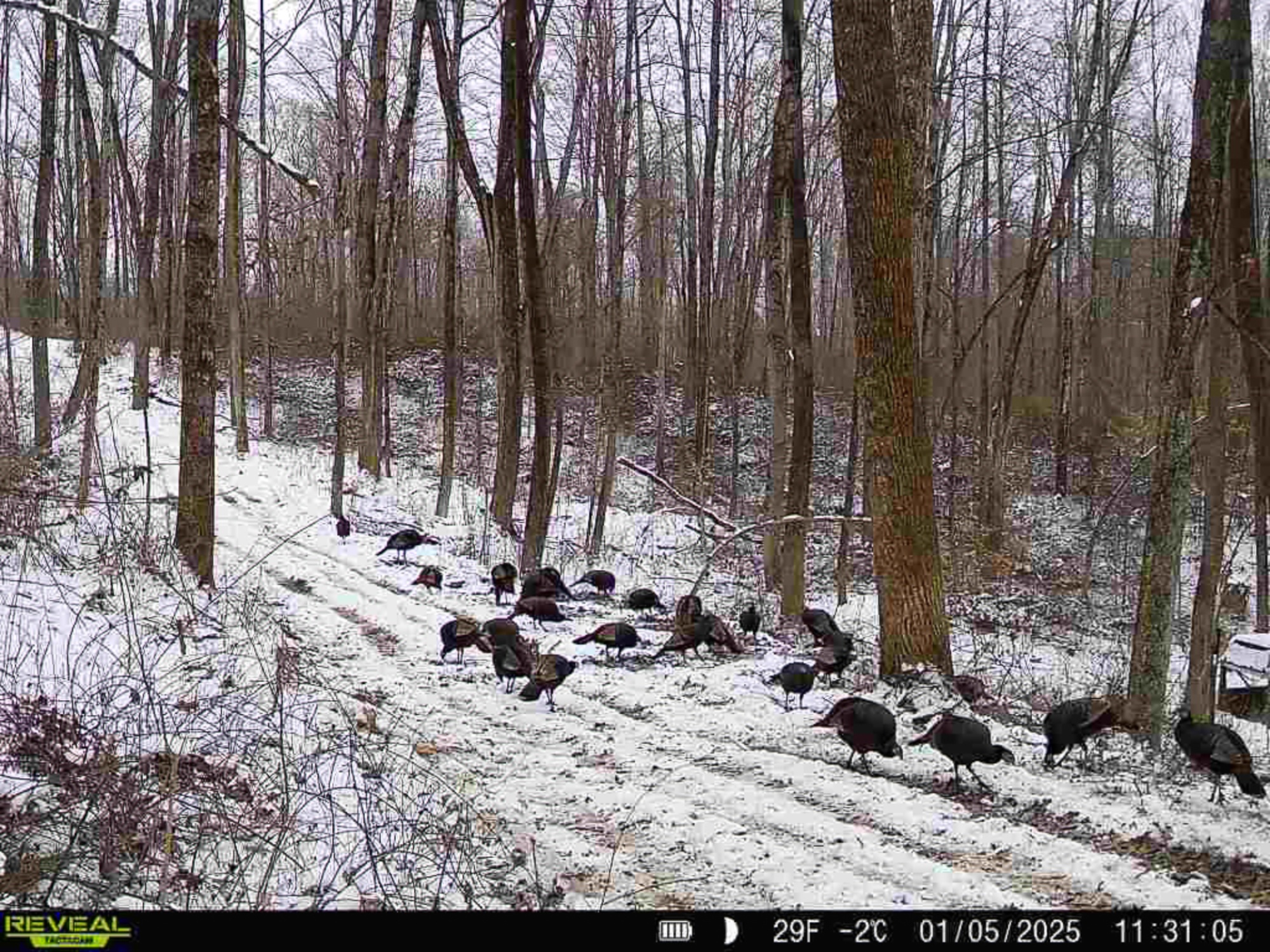
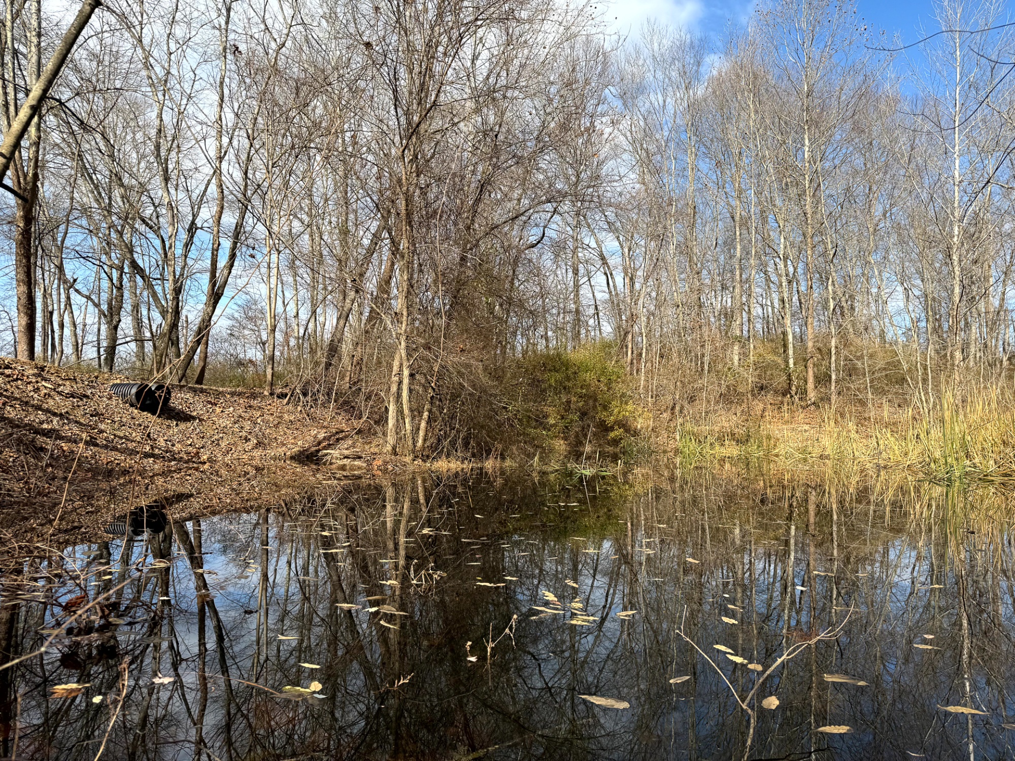
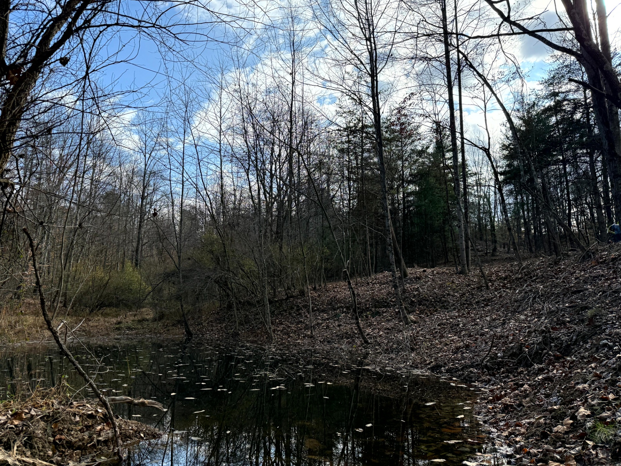
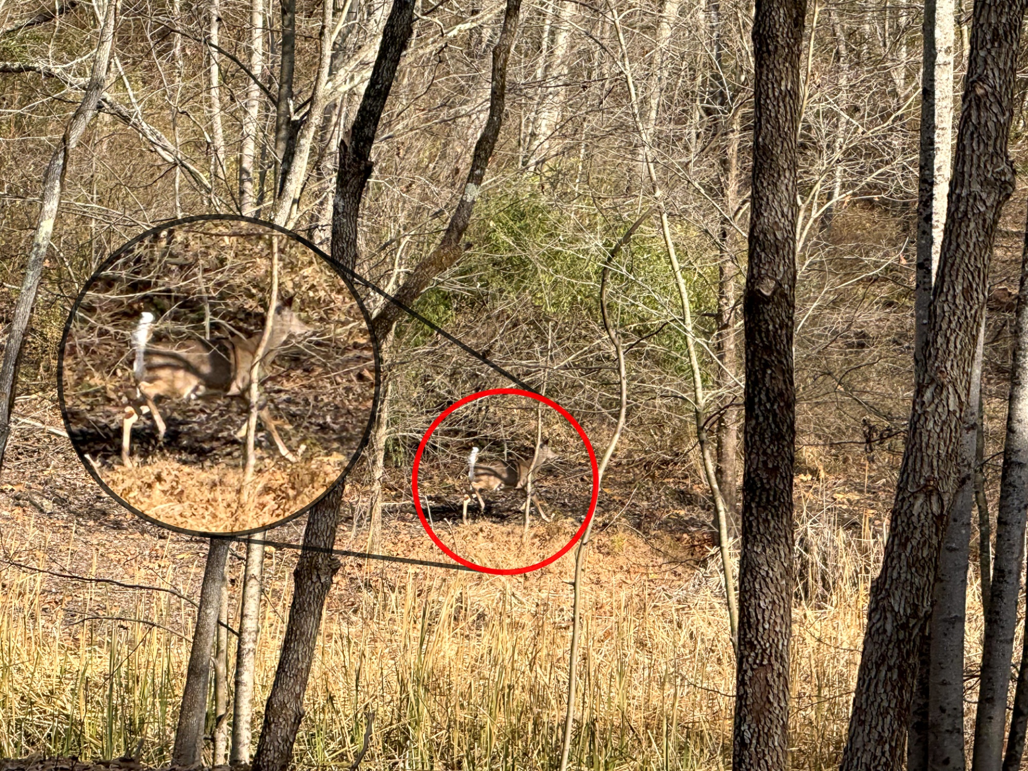
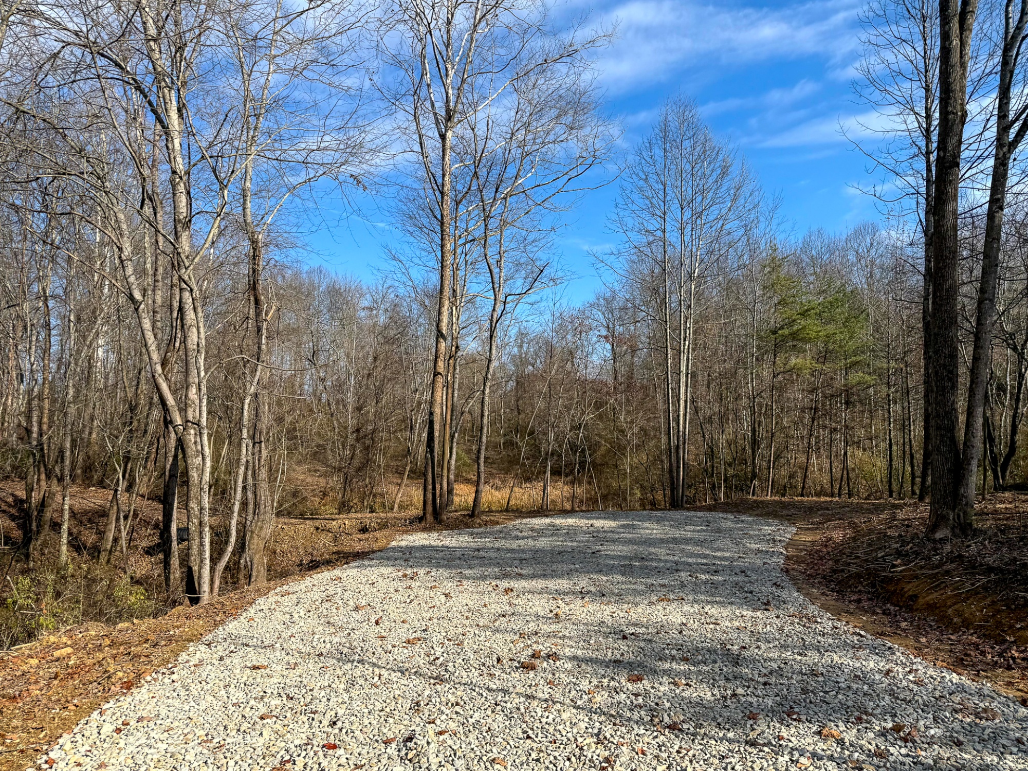
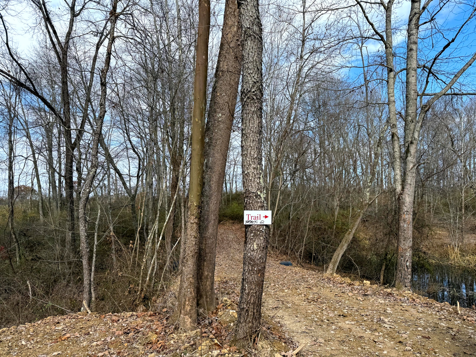
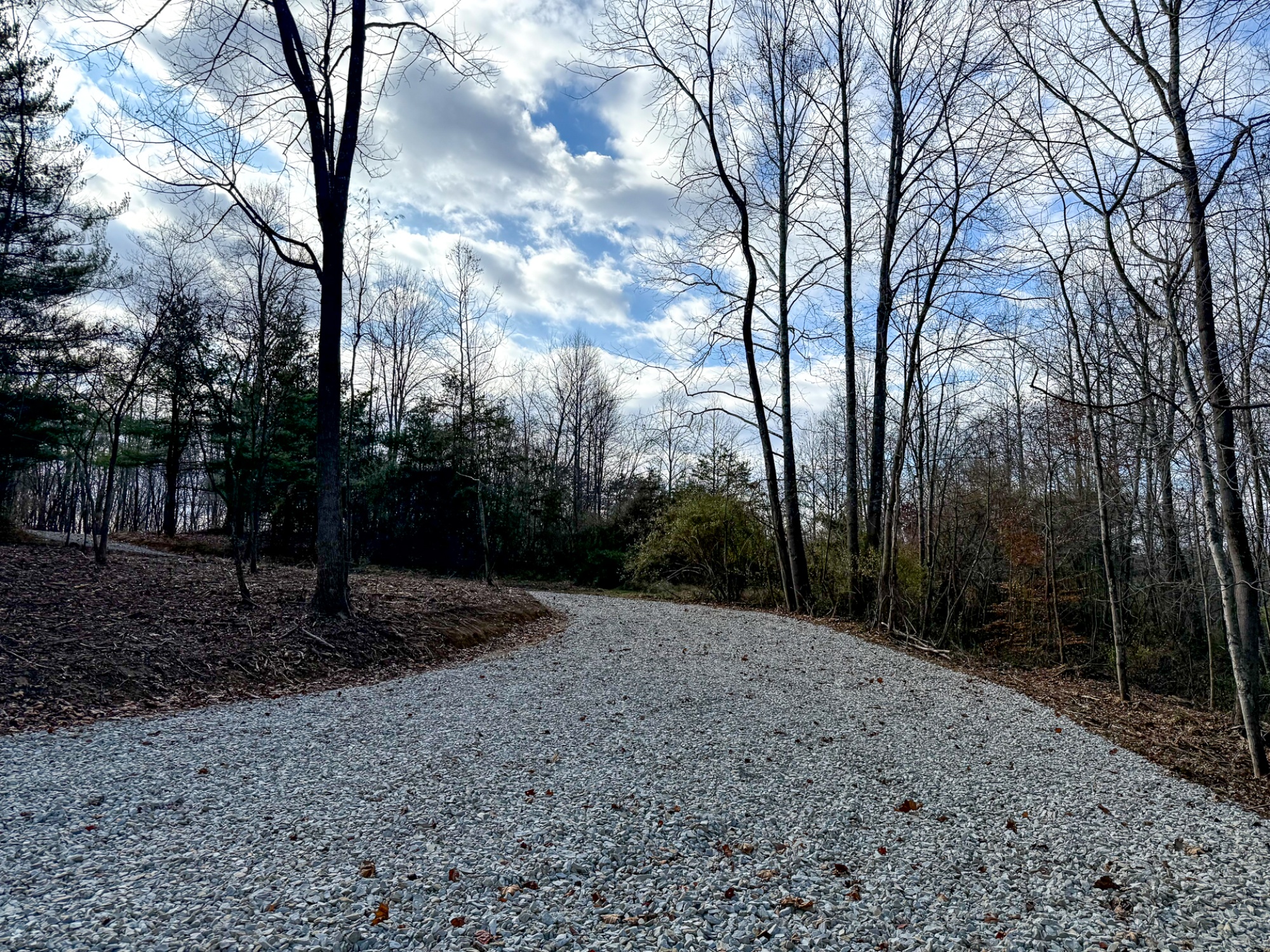
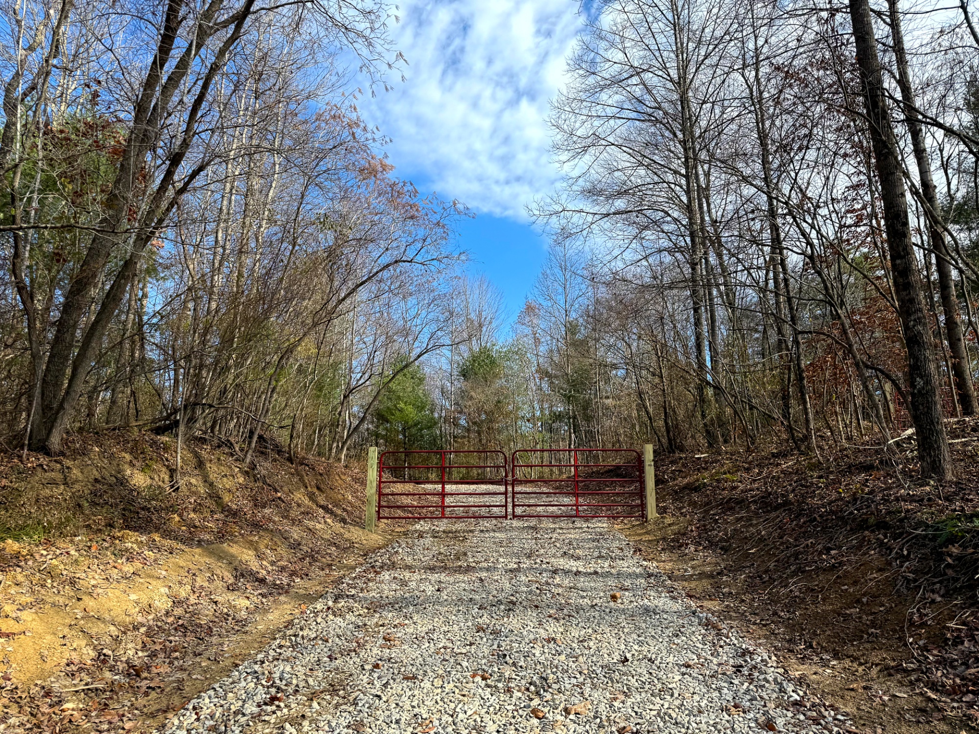
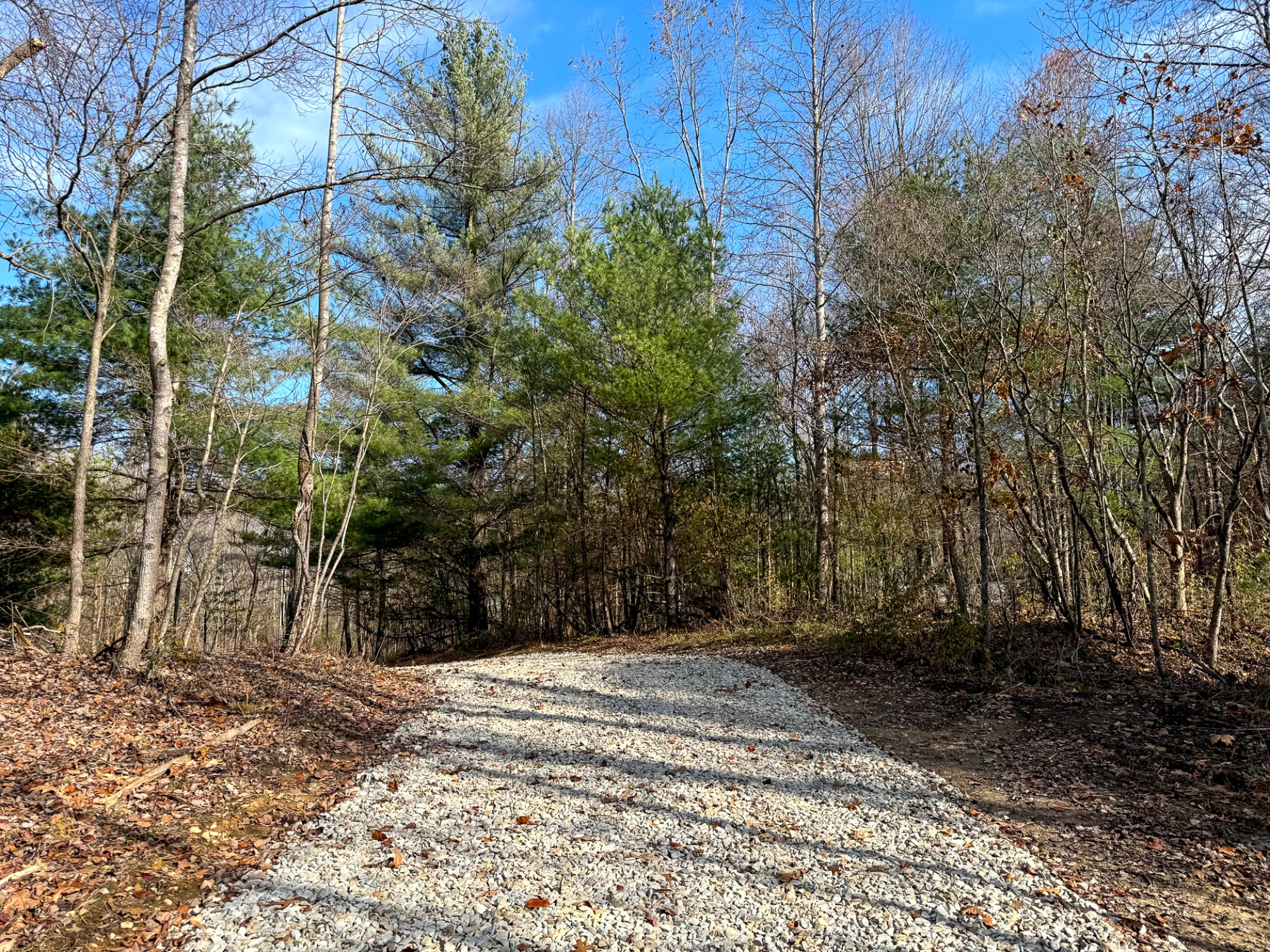
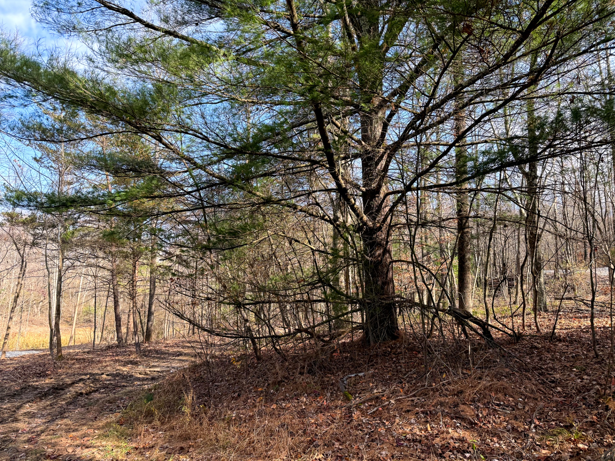
Tucked away along quiet Dutch Ridge Road, Lot 2 at The Woods at Turkey Run, where 5.35 wooded acres unfold into nice woods, rolling terrain, and quiet park-like settings. Winding trails guide you through the property and toward a peaceful pond tucked into the woods, creating a secluded and immersive natural setting. The varied topography adds depth and character, making every walk feel longer and more exploratory, while the surrounding landscape offers a sense of privacy and calm that’s ideal for a cabin, homesite, or recreational retreat.
The Woods at Turkey Run is located:
0 Dutch Ridge Rd, New Lexington, OH 43764
GPS Coordinates: 39.681249, -82.240011
A Countrytyme advantage
Take the property lines into the field.
On your phone, tap Walk property lines, allow your location when asked, and follow the blue dot in Tract Explorer to see your position in relation to the mapped boundary while you explore.
Walk property linesProperty photos