This property has sold.
The interactive map and property-line walking tools remain available. Driving directions are not provided for sold properties.
Interactive property map
Explore this property map.
Switch aerial, topographic, soil, water, contour, and terrain layers while the mapped project boundary stays visible.
Property Documents
Property Description
Turkey Run BarndominiumNew Barndo Style Shell House on 5 Wooded Acres
Twp Rd 128, New Lexington, Ohio
Perry County
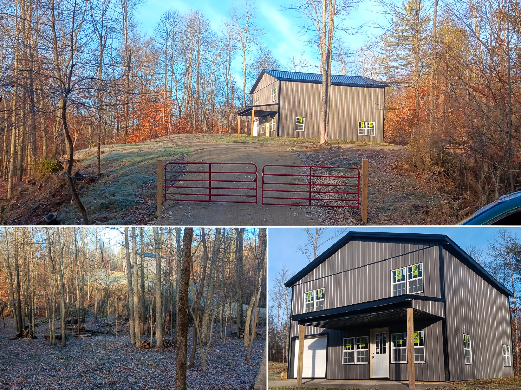
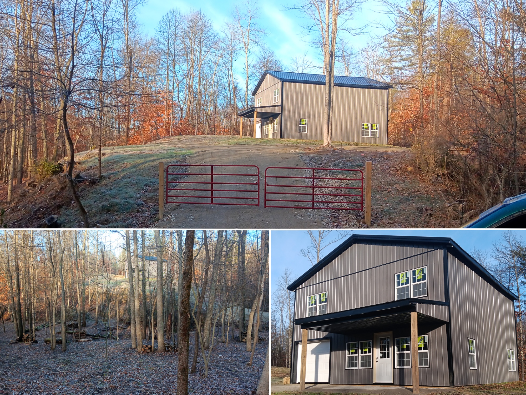
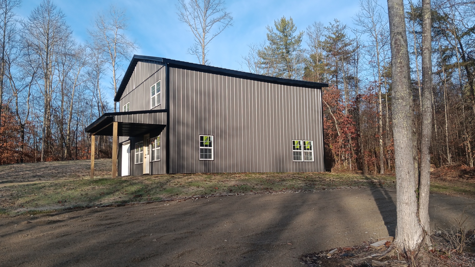
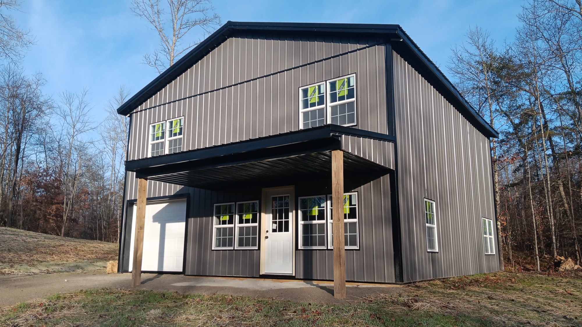
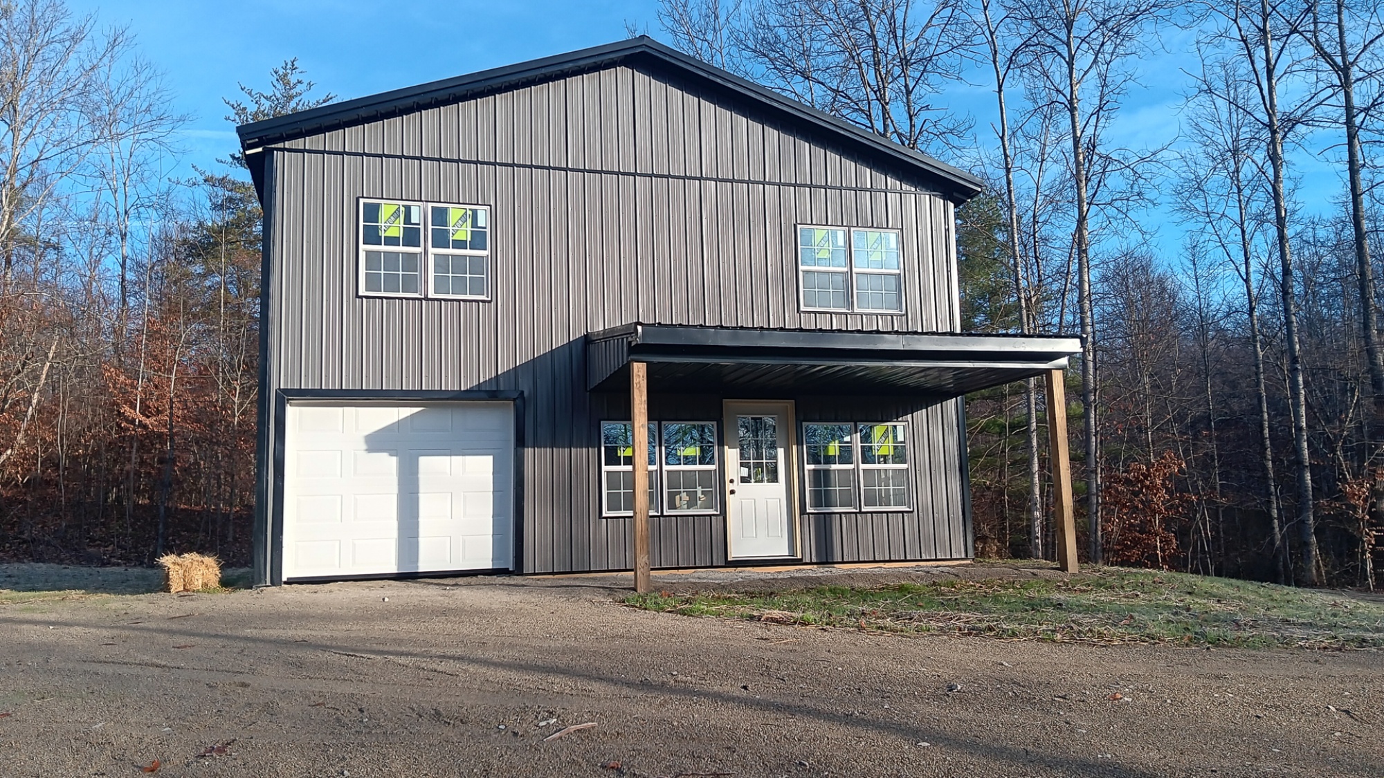
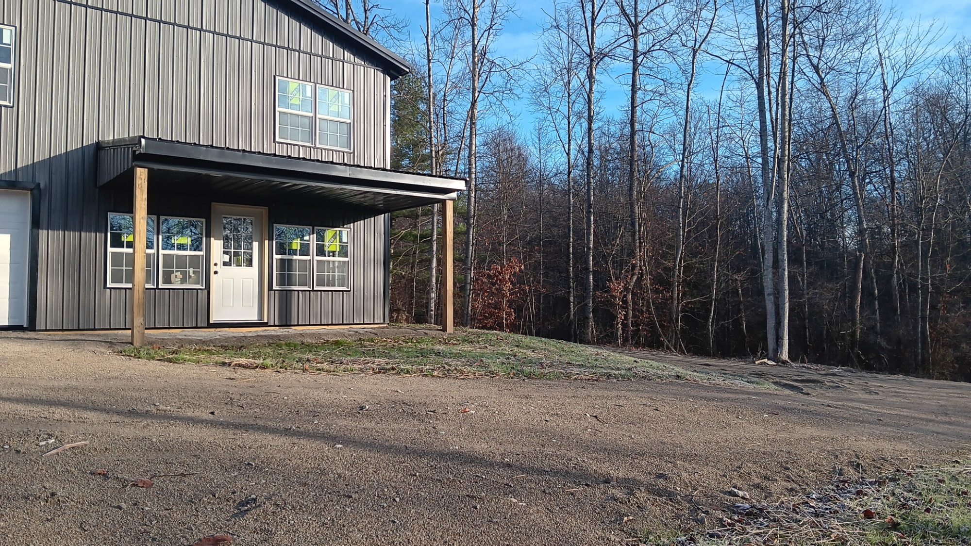
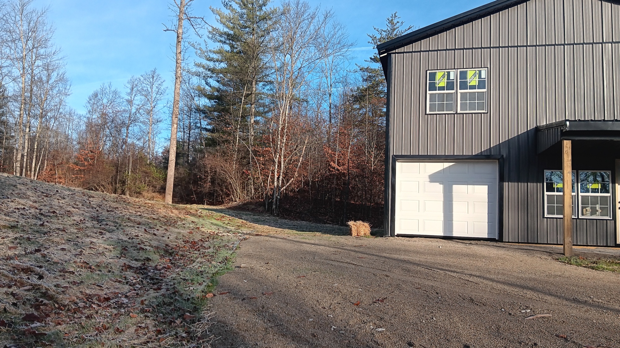
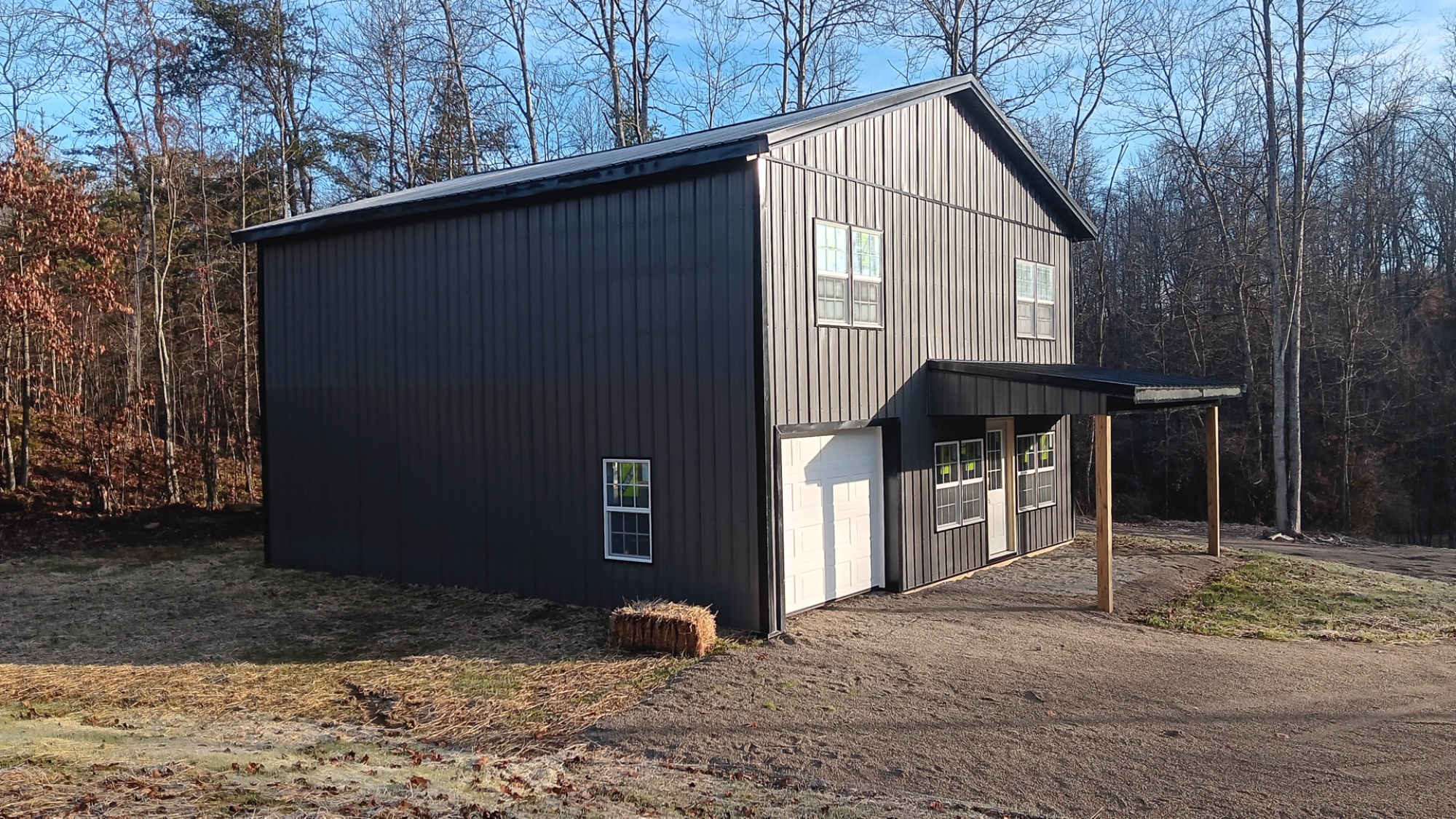
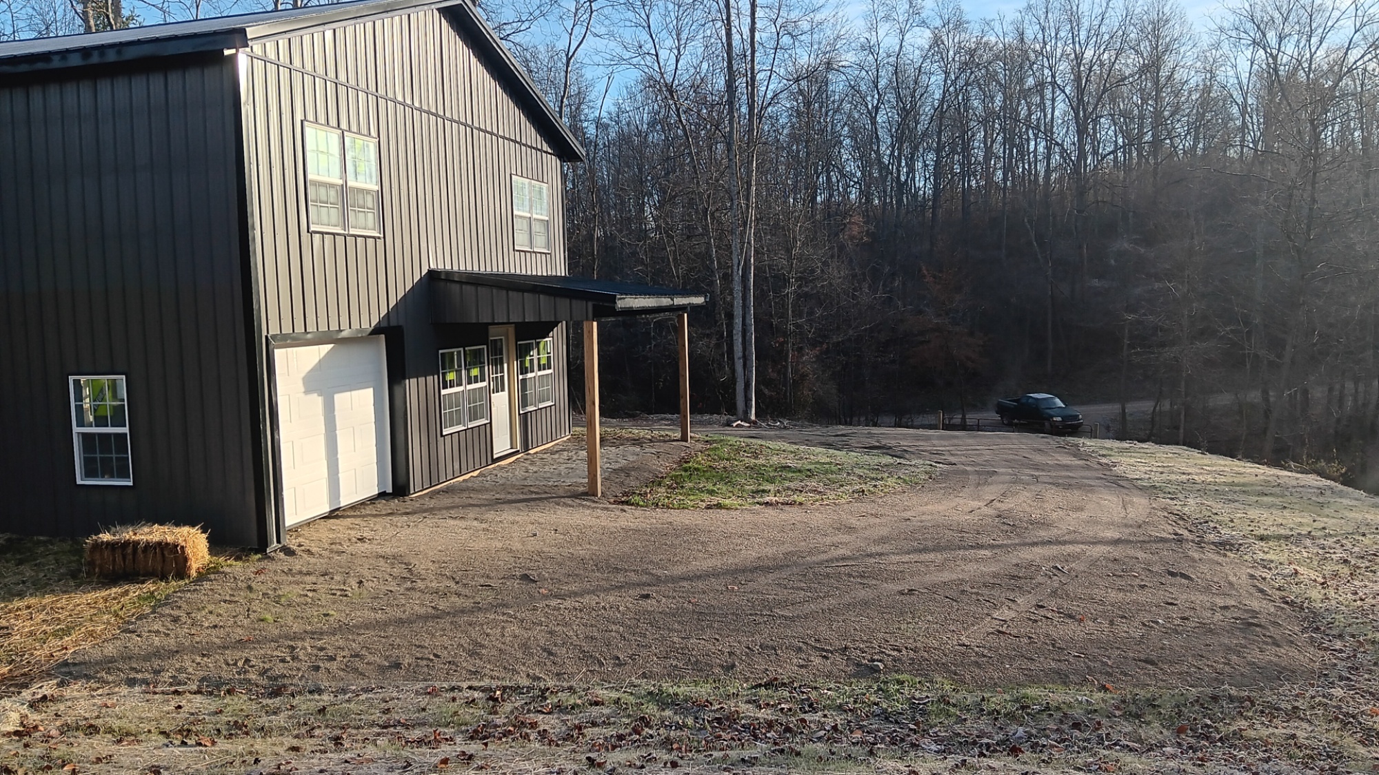
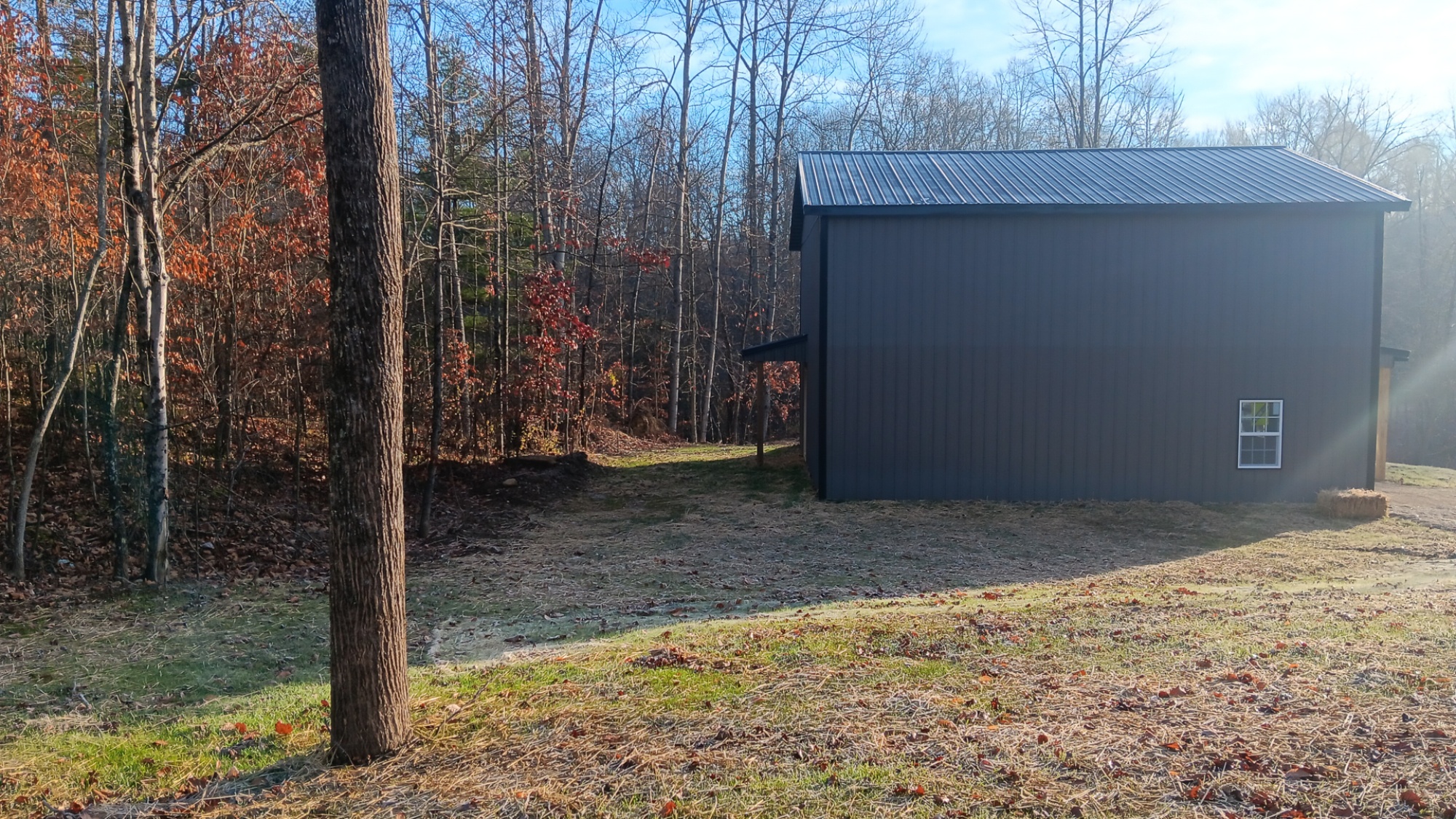
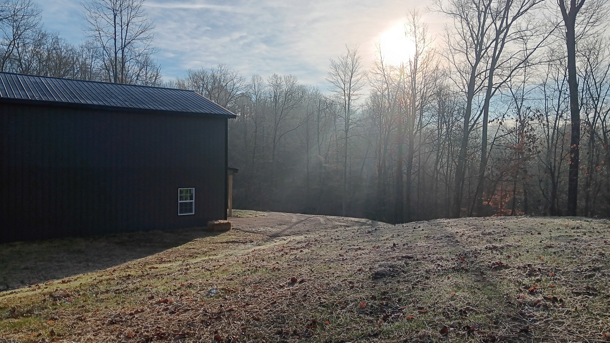
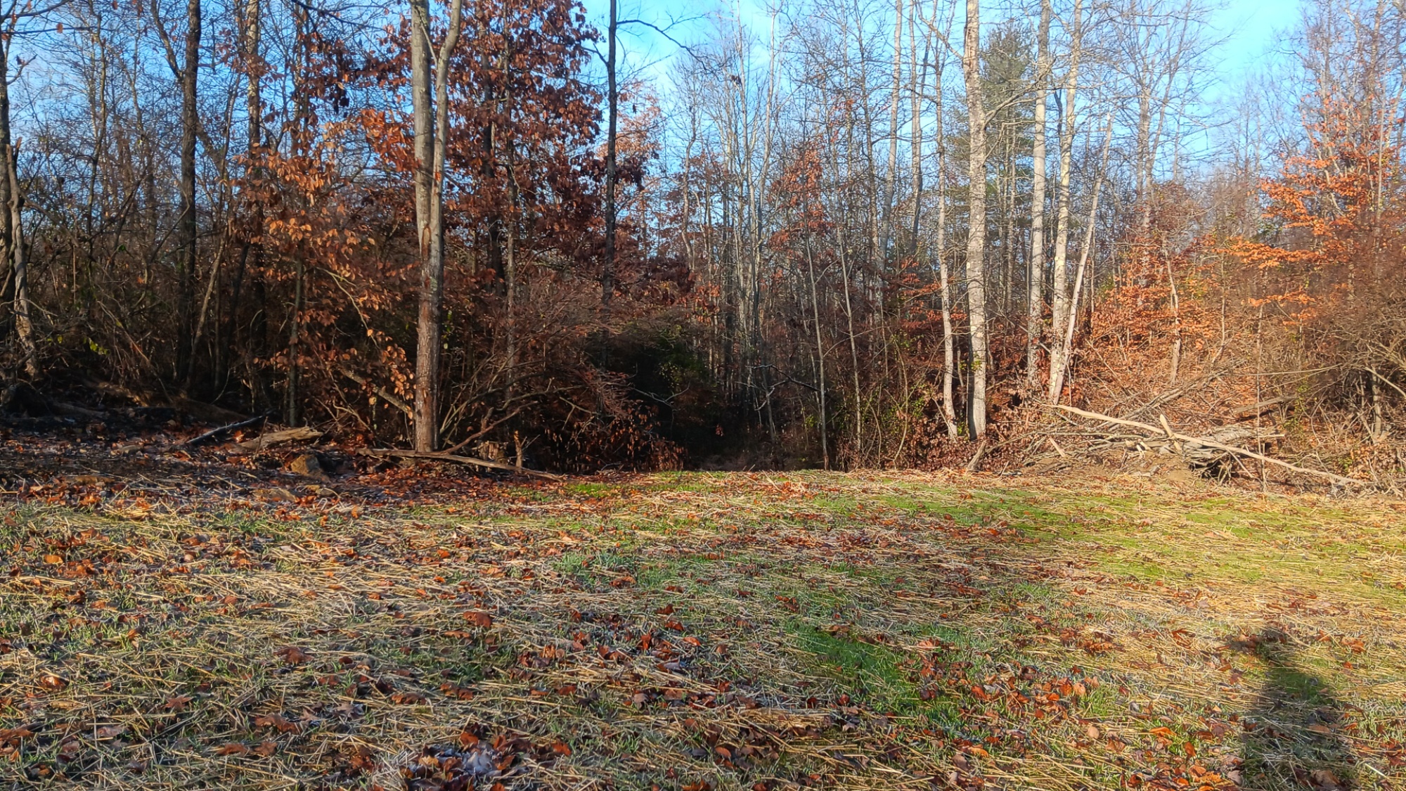
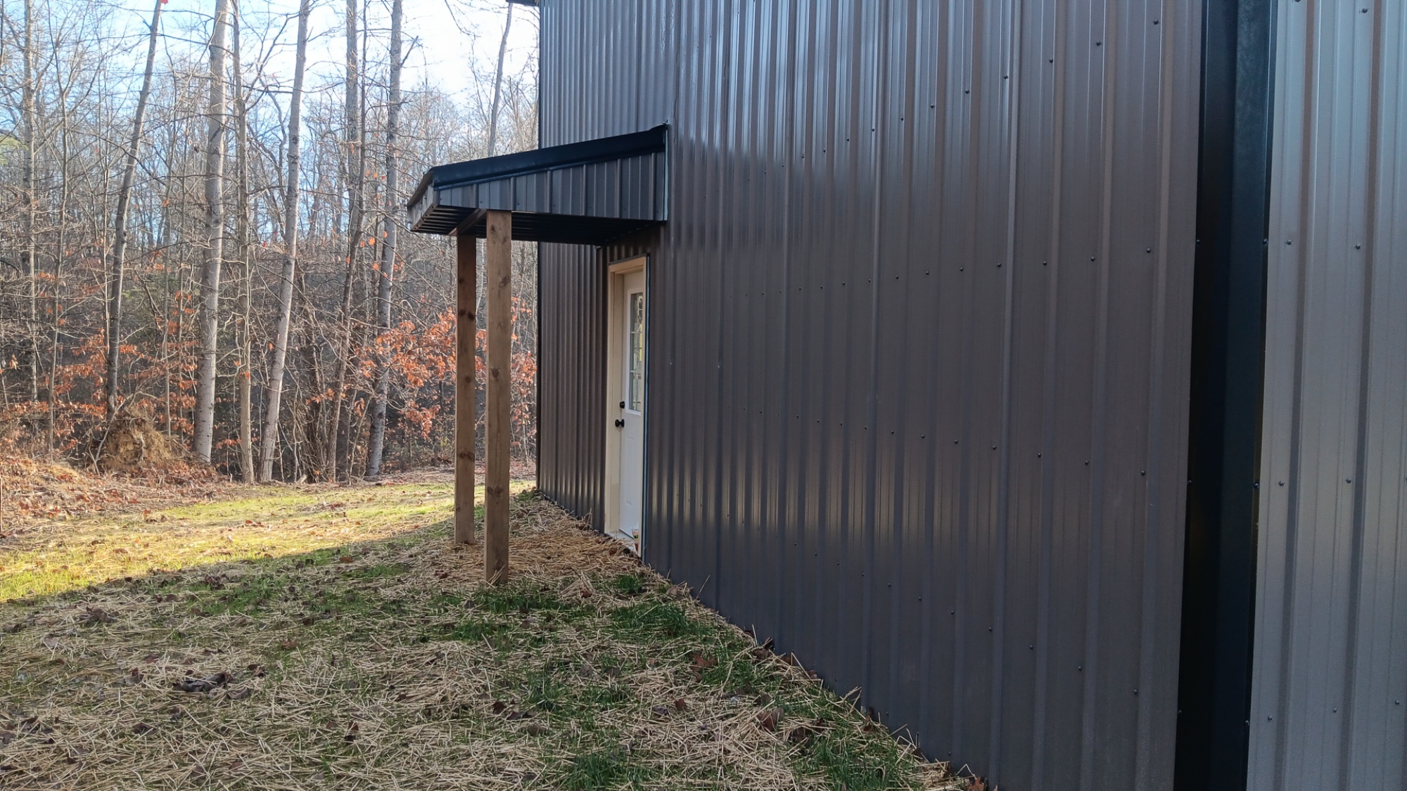
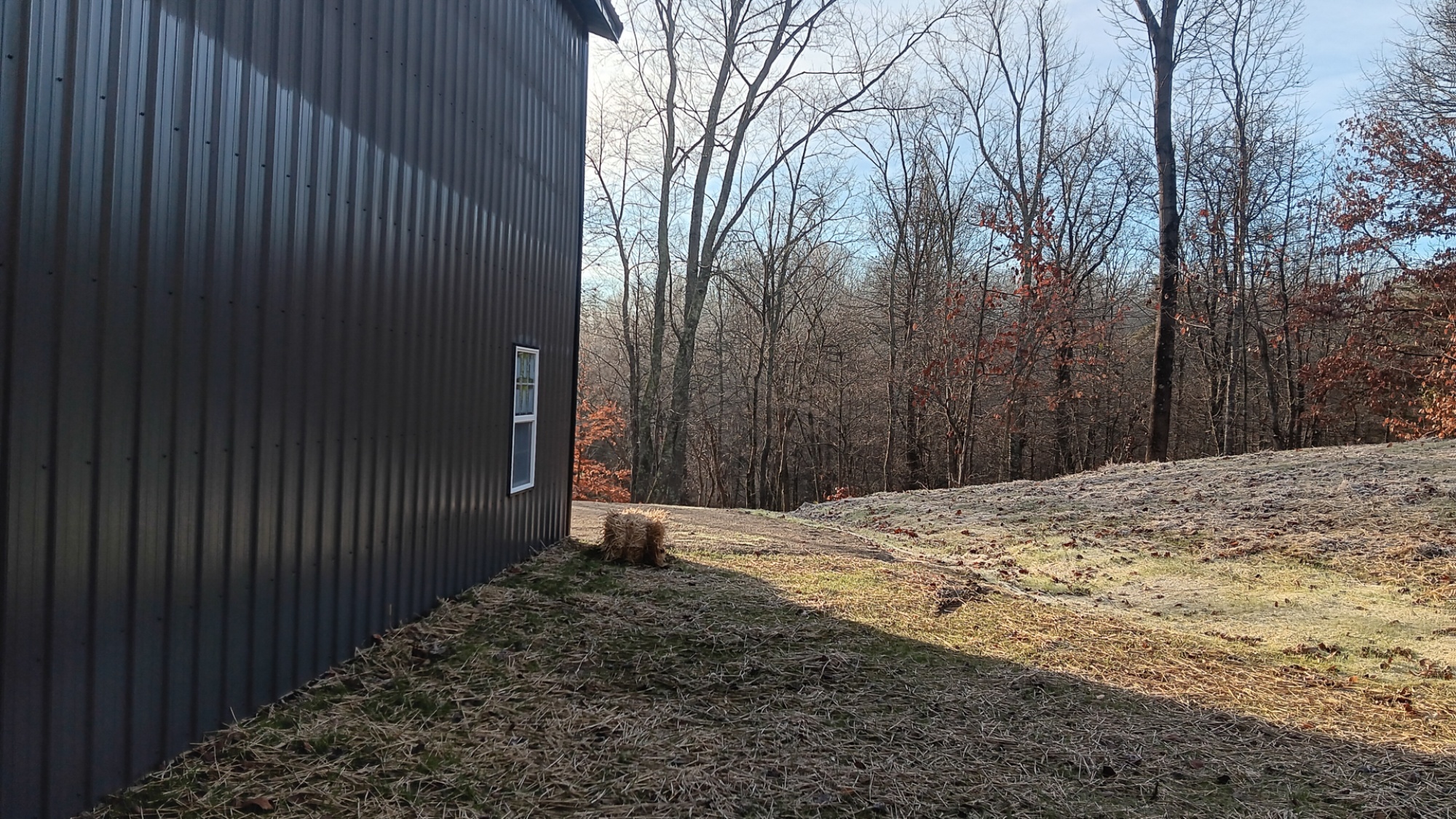
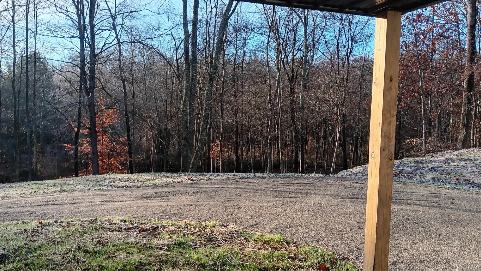
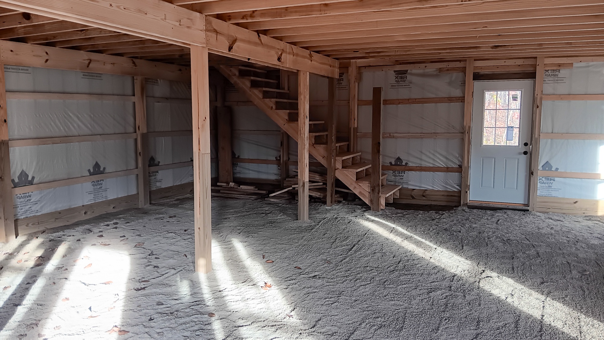
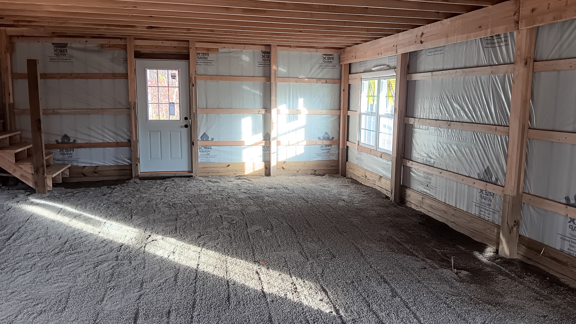
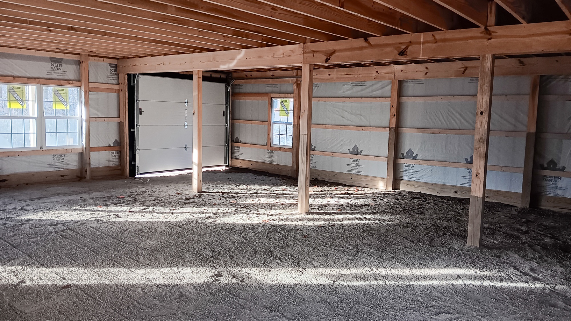
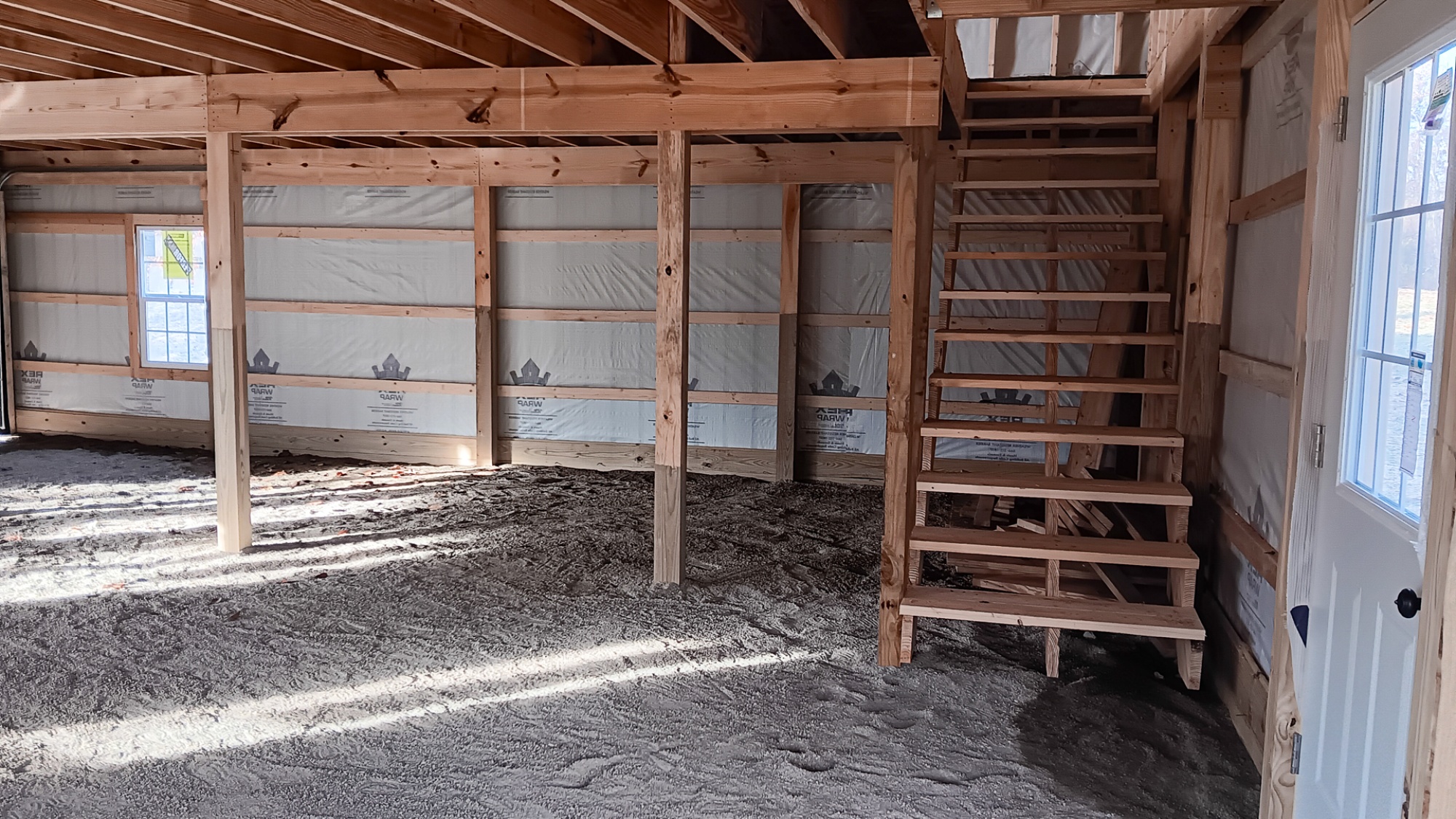
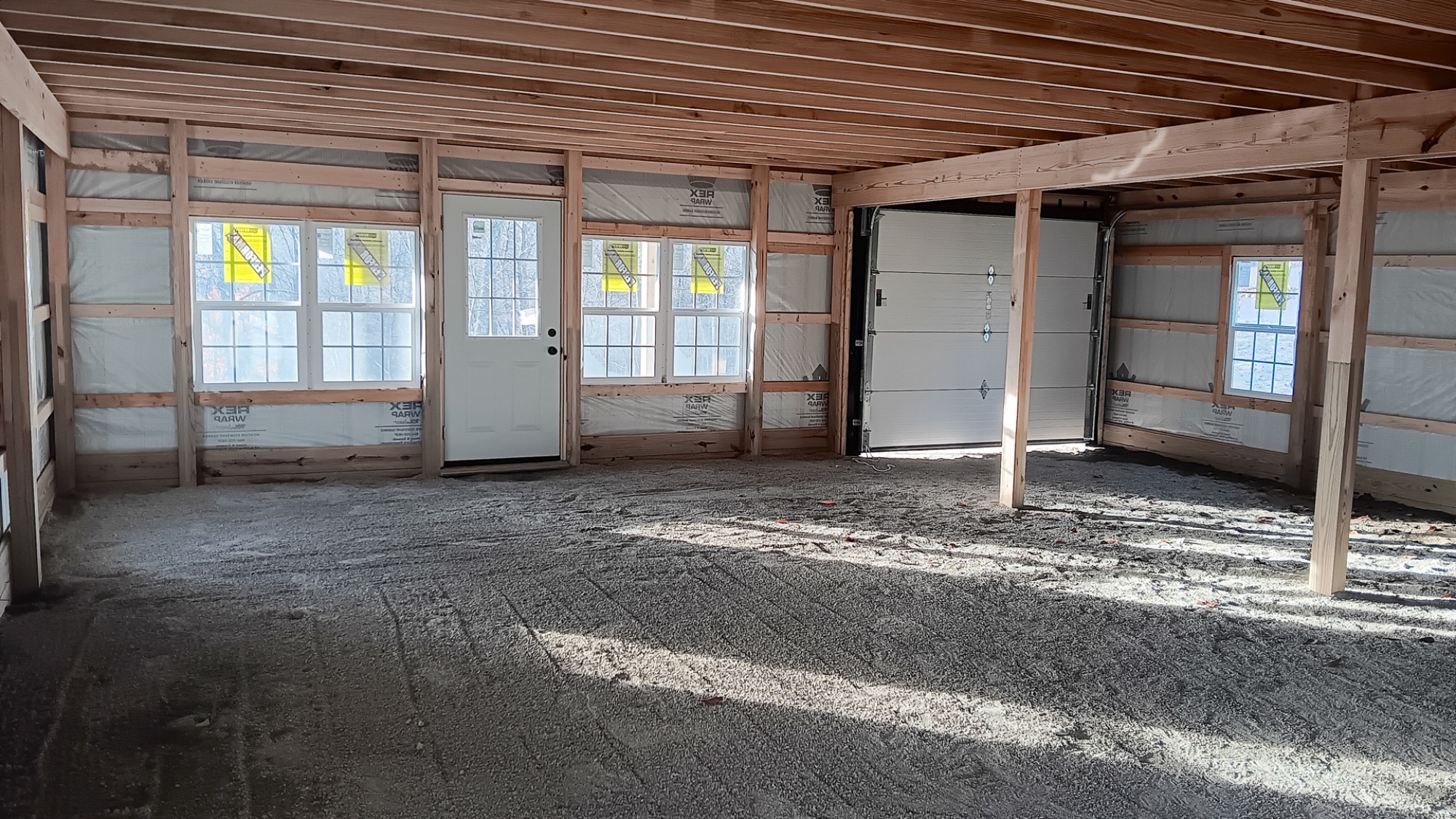
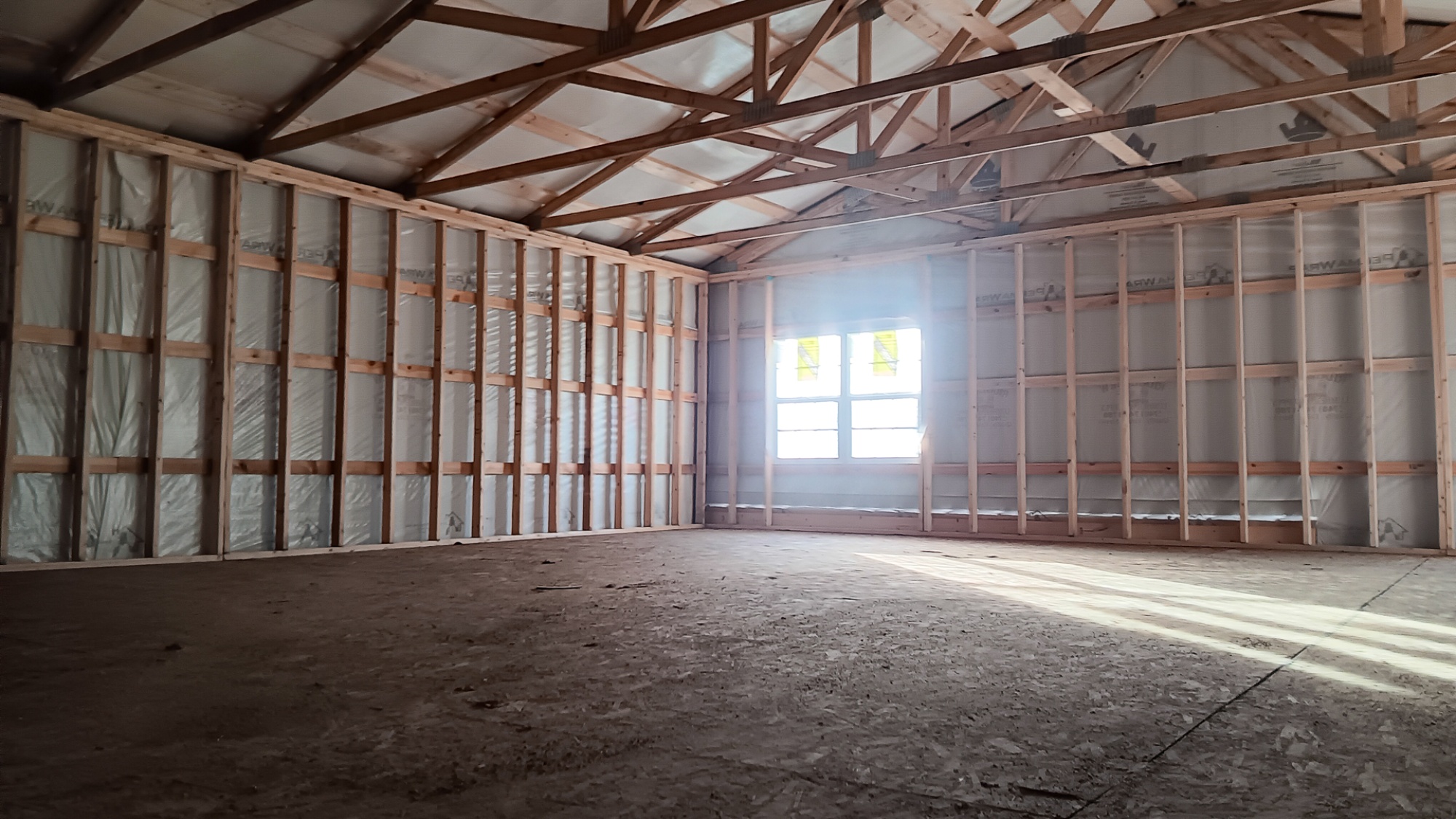
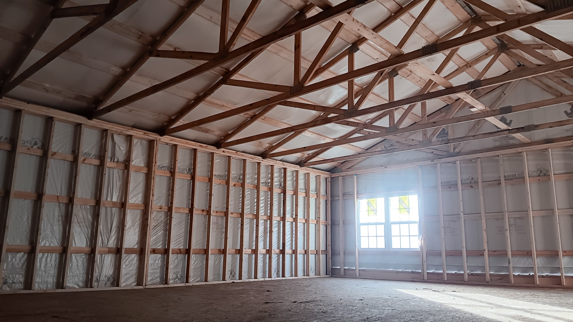
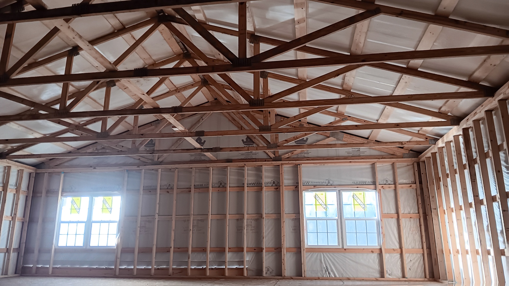
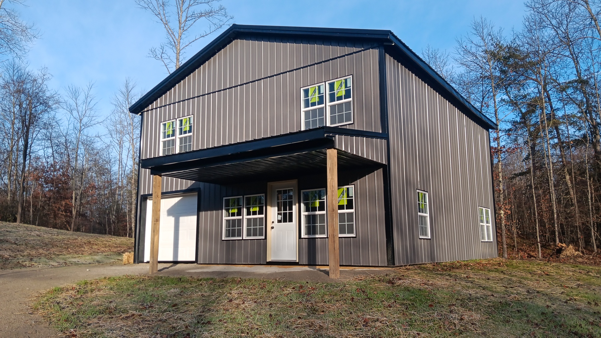
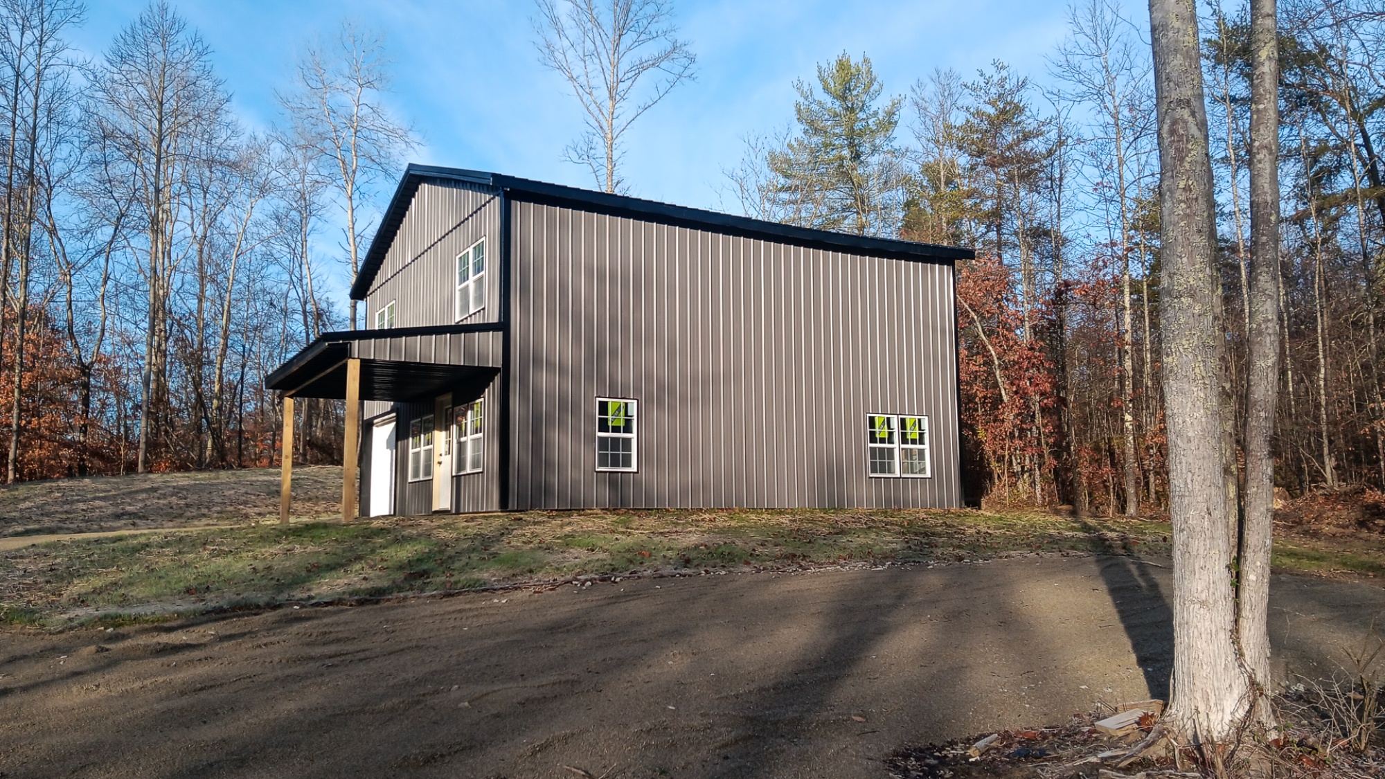
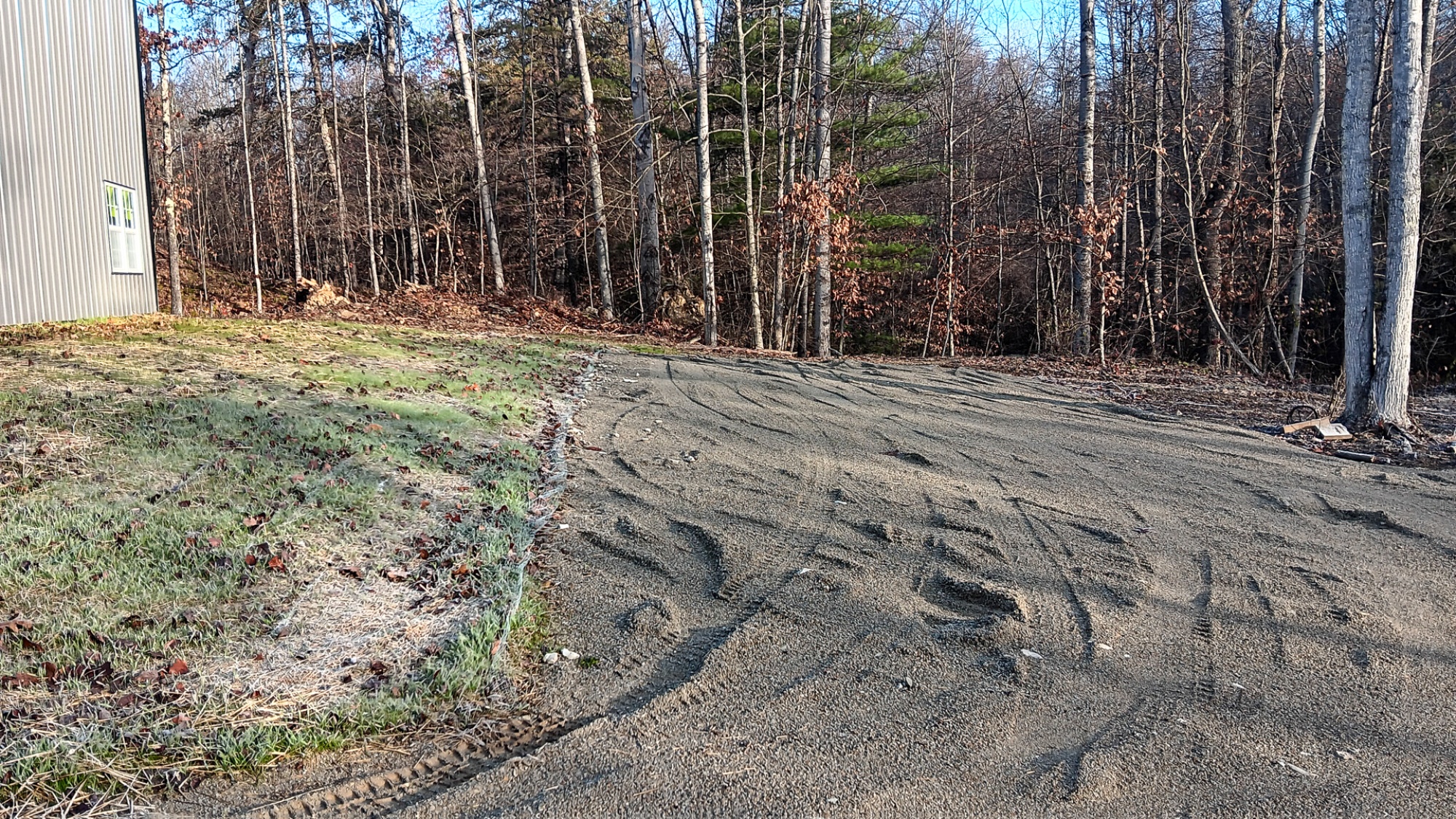
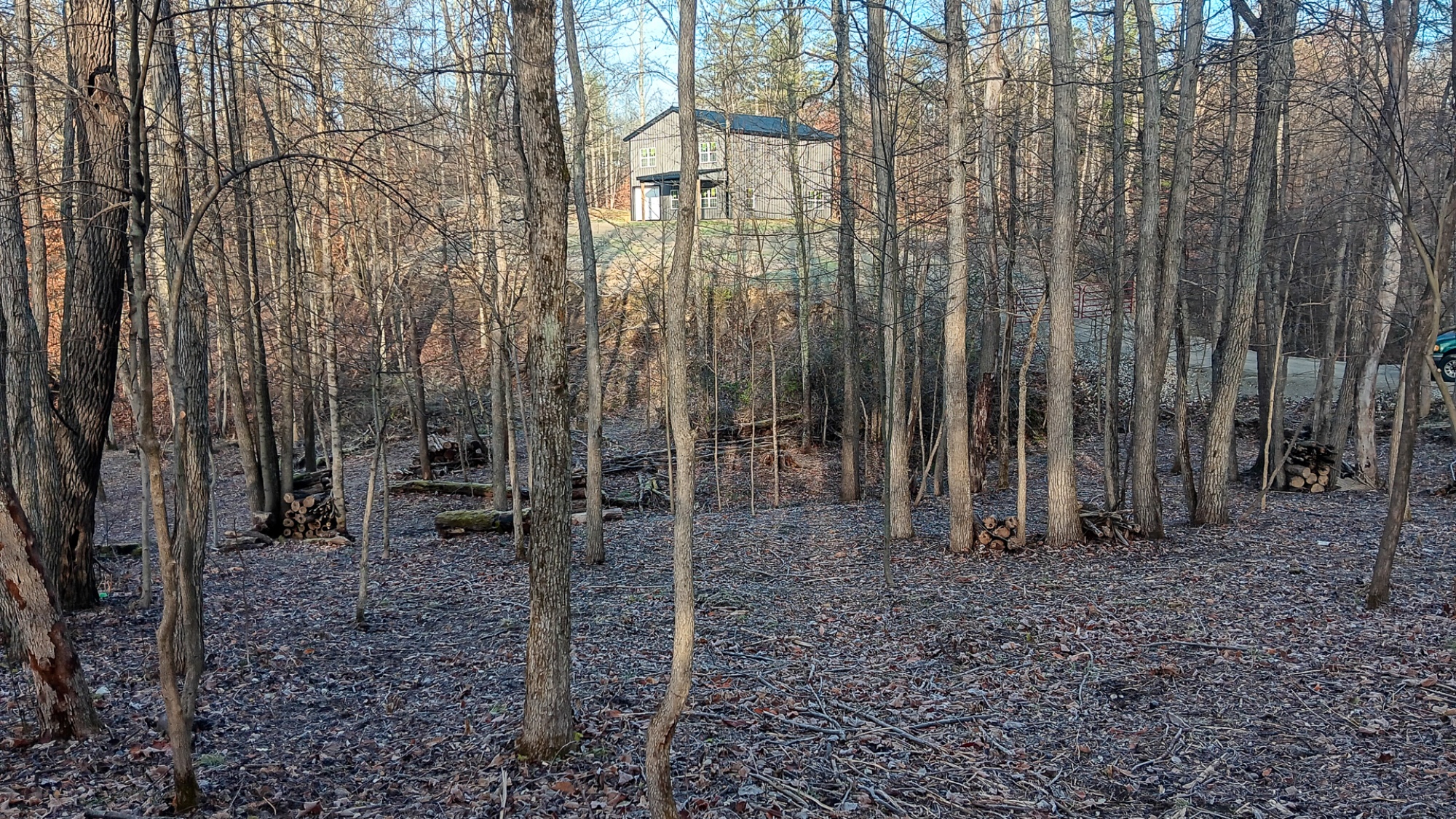
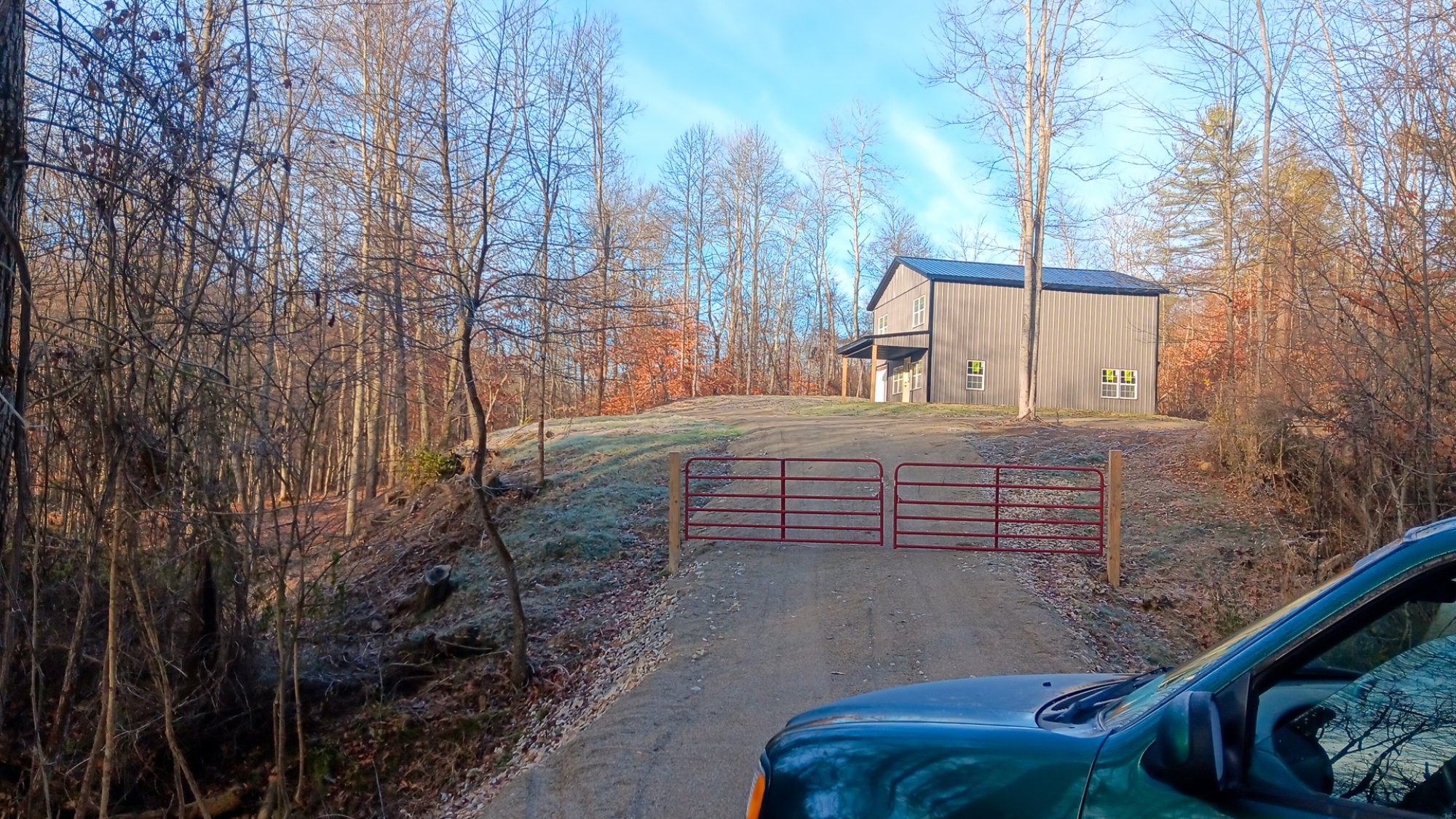
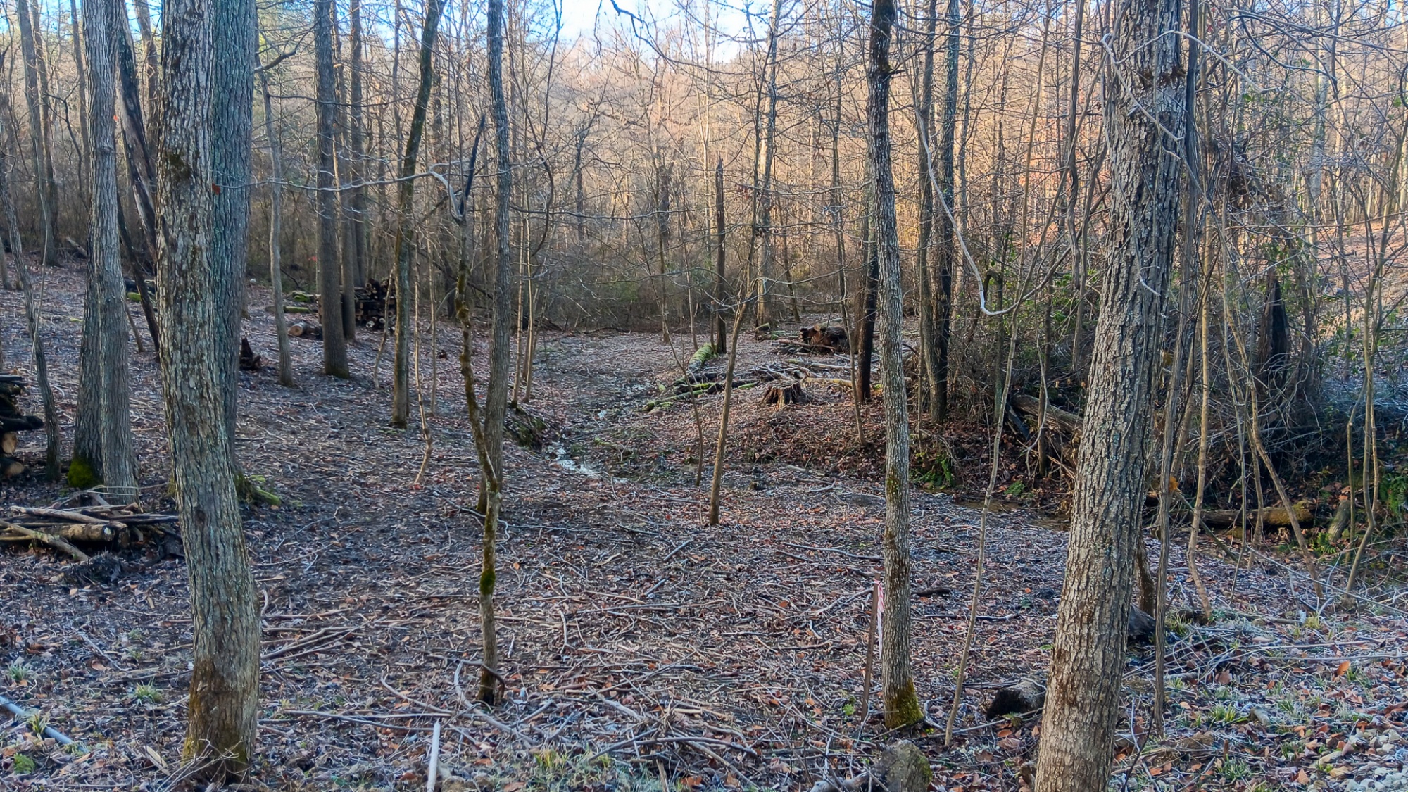
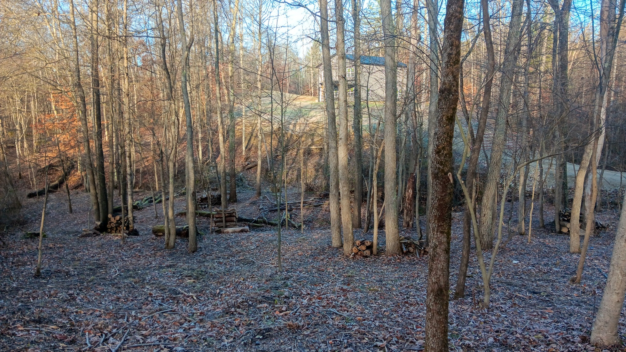
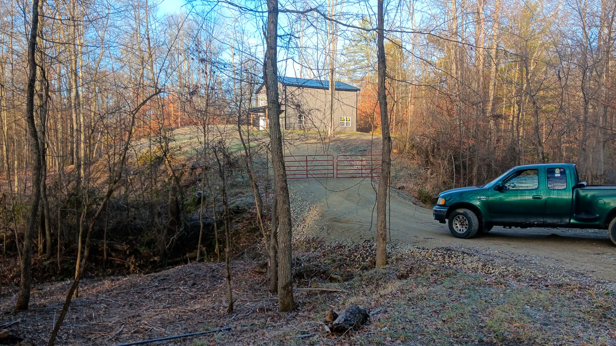
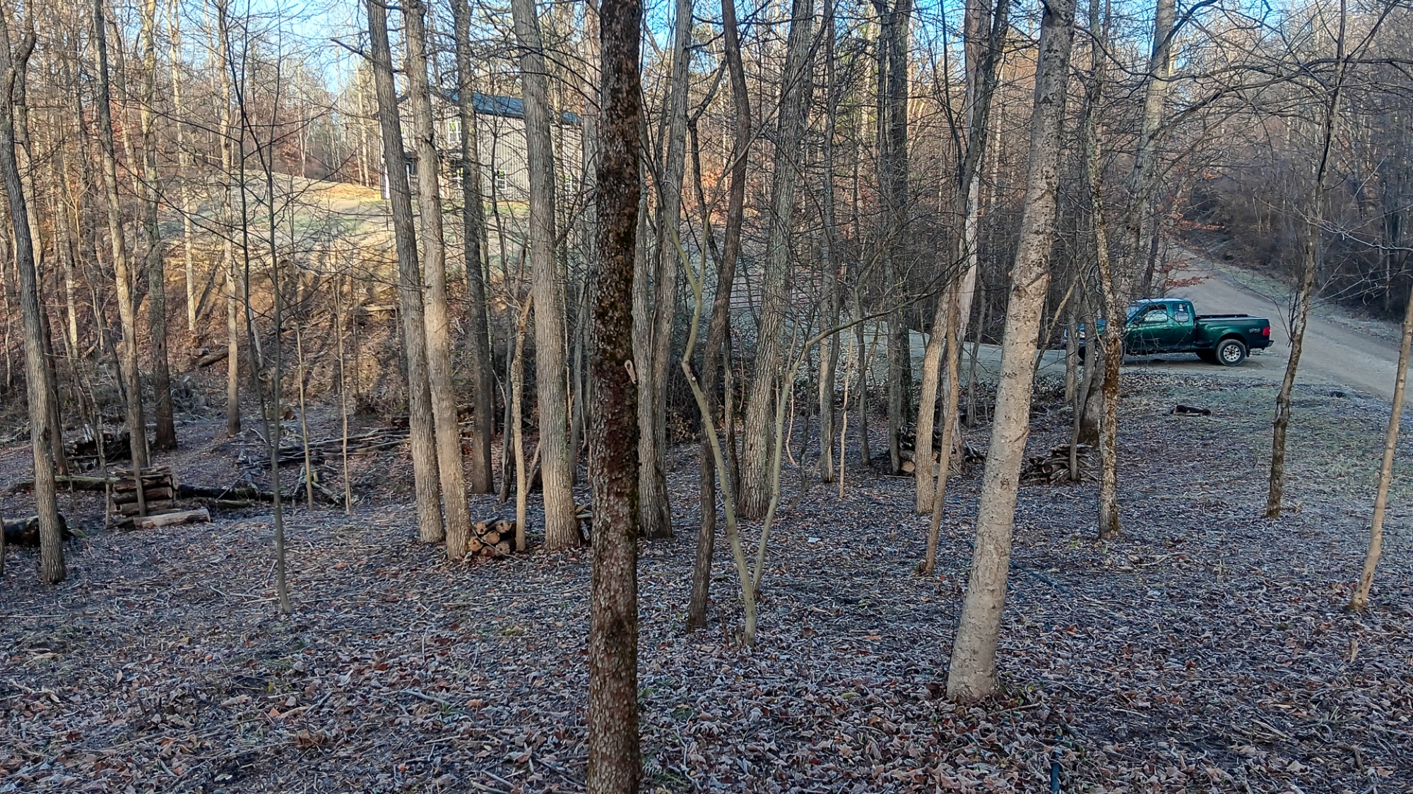
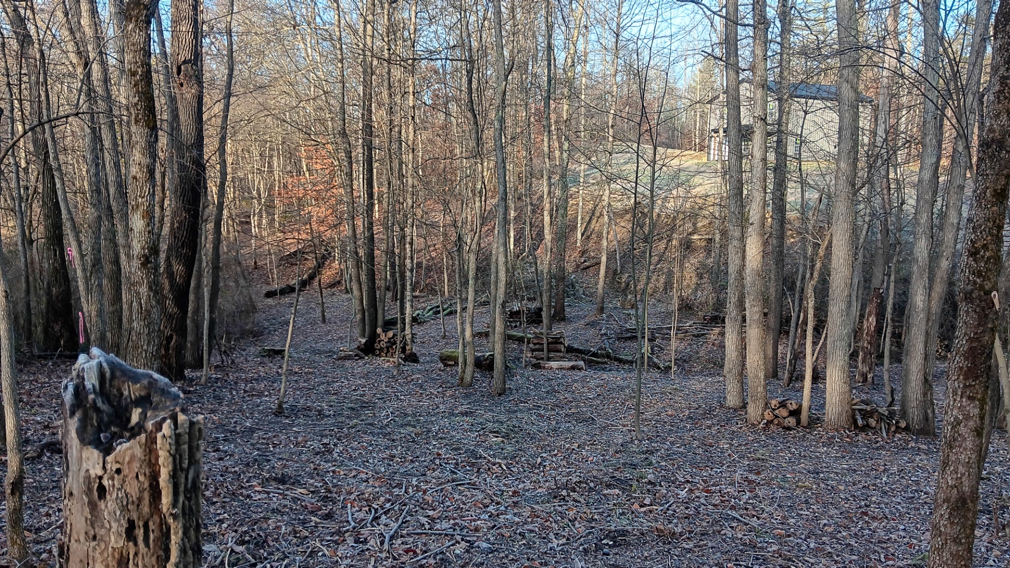
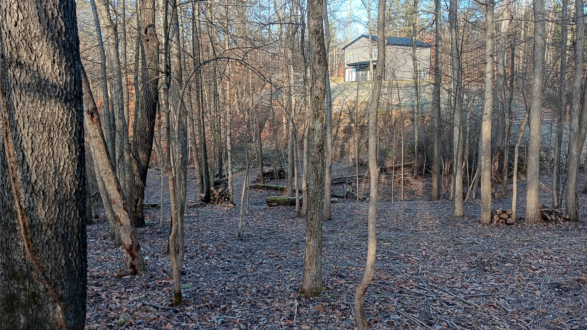
Tucked along a quiet township road in the rolling hills of Perry County, Tract 6 at Turkey Run offers a brand-new 2-story barndo style house set on 5 acres of mature, park-like woods. A newly installed gated gravel drive winds gently uphill to the cabin, where an 17’x8’ covered porch looks out over peaceful hardwoods rich with wildlife. The 30’x32’ barndominium is ready for adventure—whether you want to camp, store gear and vehicles, or begin finishing it into your own house tucked in the woods. Surrounded by some of Ohio’s best public recreation, you’re less than 3 miles from 22,000+ acres of Wayne National Forest, minutes from the ATV and bridle trails at Perry State Forest, and just a short drive to Lake Logan’s boating and fishing. With electric, and public water available, plus no zoning and only minor restrictions, this property gives you the freedom to create the getaway you’ve been imagining.
Turkey Run is Located:
3001 Township Rd 128 SE, New Lexington, OH 43764
(Address may not map correctly, use GPS Coordinate)
GPS Coordinates: 39.676933, -82.234126
Google Map Link
Additional Documents:
Additional Resources:
Perry State Forest:
-https://ohiodnr.gov/go-and-do/plan-a-visit/find-a-property/perry-state-forest
Stone Church Horseback Riding Trail:
-https://www.fs.usda.gov/recarea/wayne/recreation/recarea/?recid=82445&actid=30
Lake Logan State Park:
-https://ohiodnr.gov/go-and-do/plan-a-visit/find-a-property/lake-logan-state-park
Hocking Hills Tourism:
-https://www.explorehockinghills.com/
A Countrytyme advantage
Take the property lines into the field.
On your phone, tap Walk property lines, allow your location when asked, and follow the blue dot in Tract Explorer to see your position in relation to the mapped boundary while you explore.
Walk property linesProperty photos