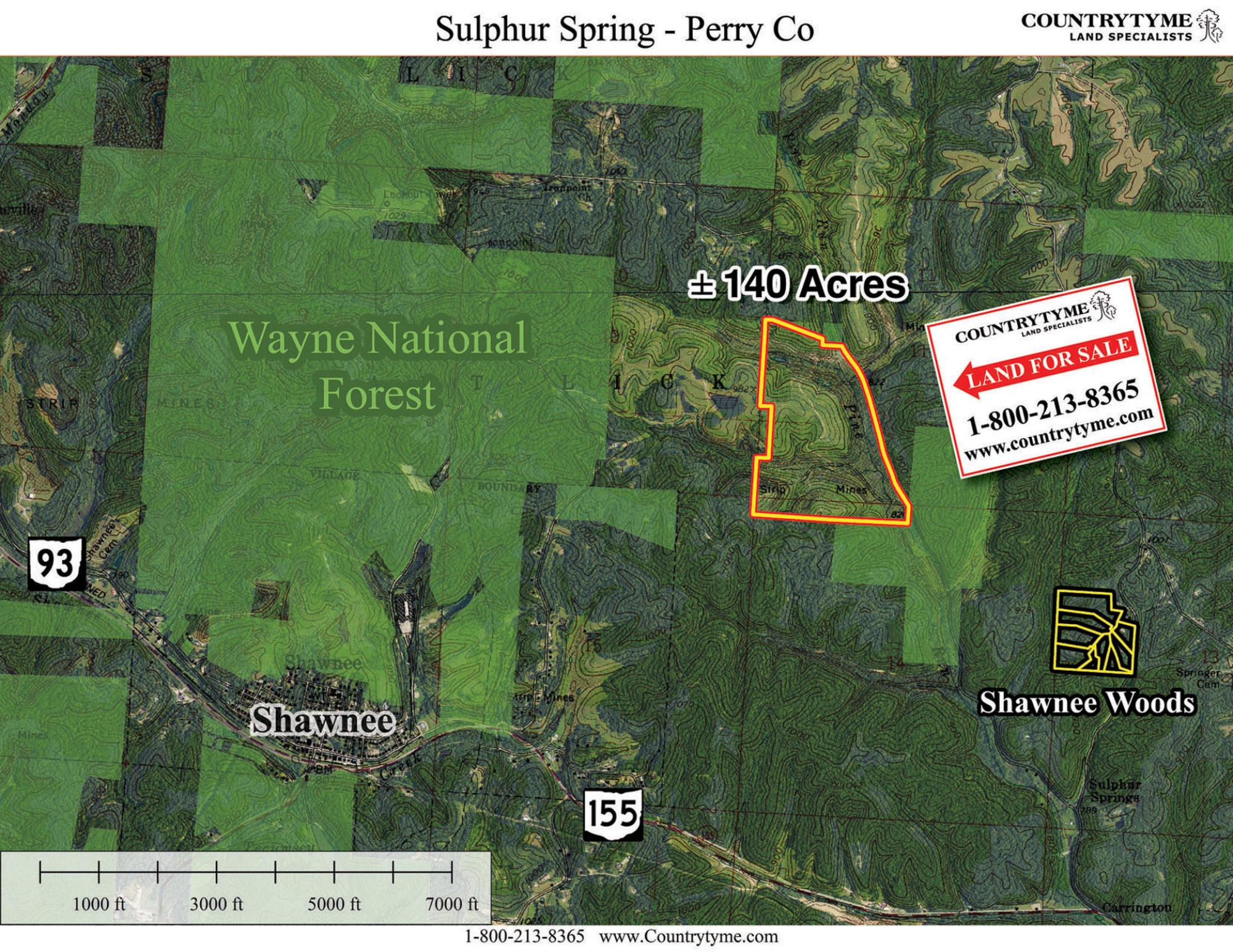
Walk this property with confidence.
Use GPS directions to reach the tract. Then open the property lines on your phone and follow your blue location dot as you walk, so you can see where you are in relation to the boundaries.
Interactive property map
See the land before you visit.
Switch aerial, topographic, soil, water, contour, and terrain layers while the mapped project boundary stays visible.
Property Documents
Property Description
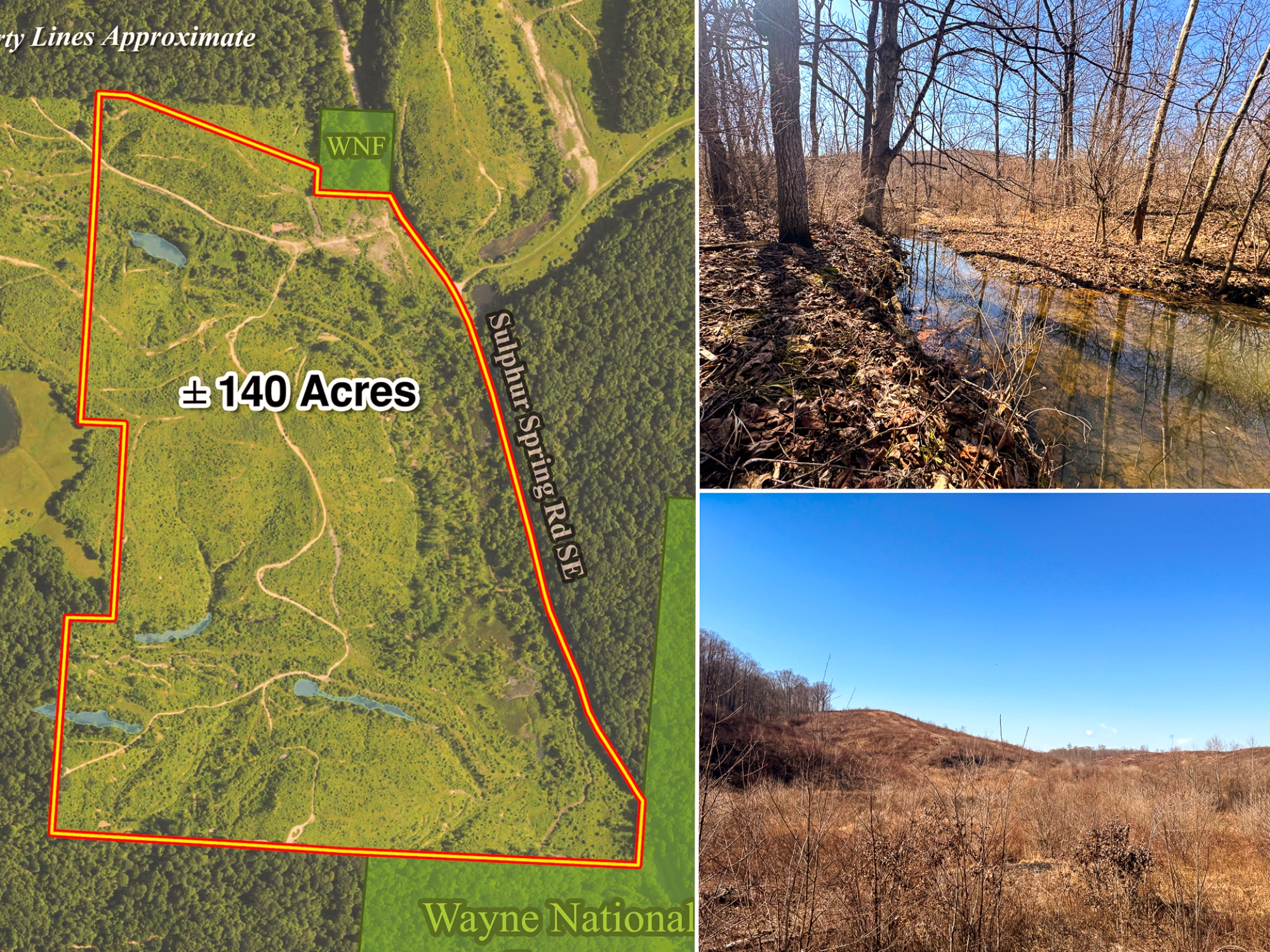
140 Acre - Sulphur Spring RdRecreational Retreat on Wayne National Forest
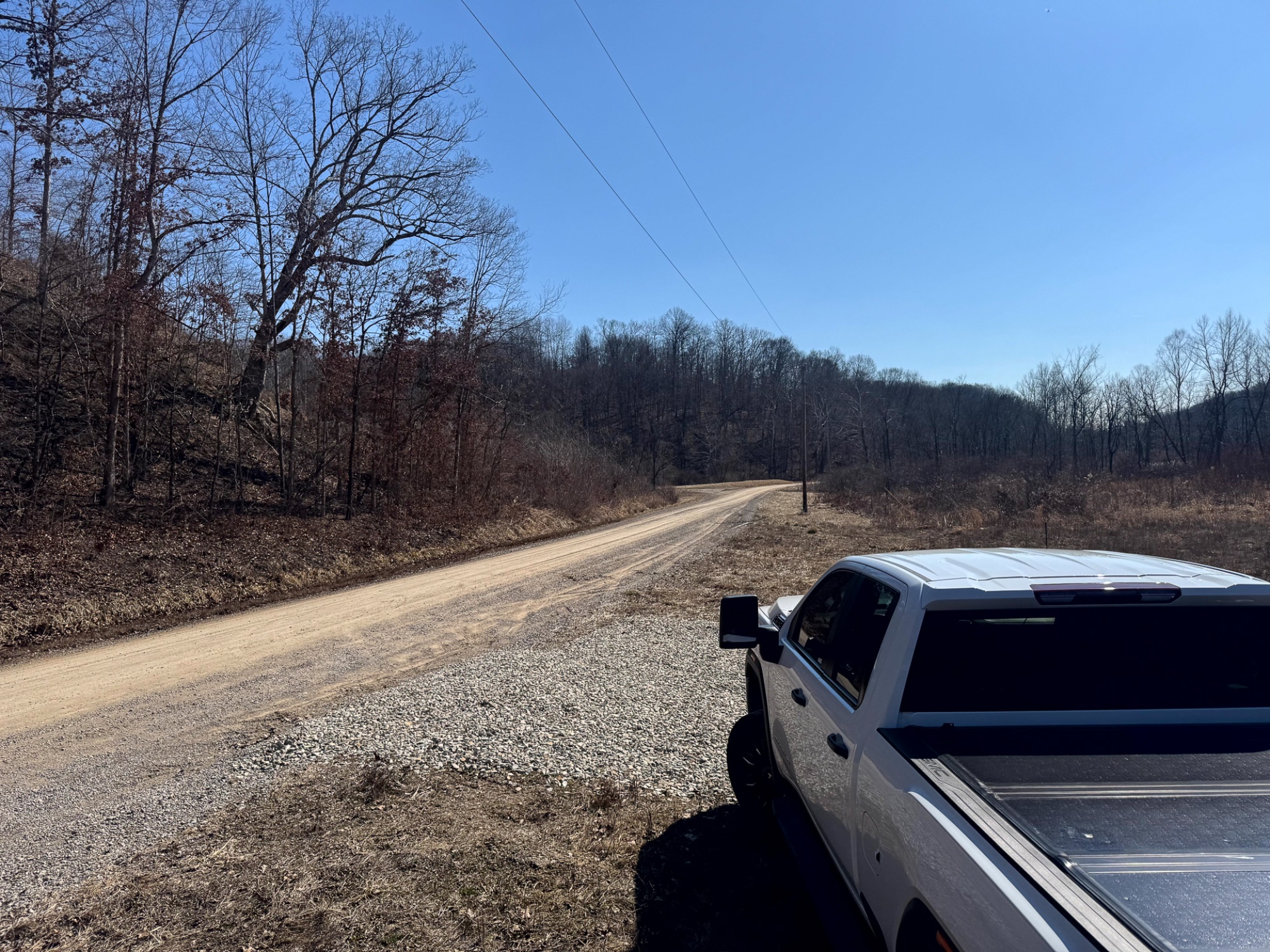
Sulphur Spring Rd, New Lexington, Ohio
Perry County
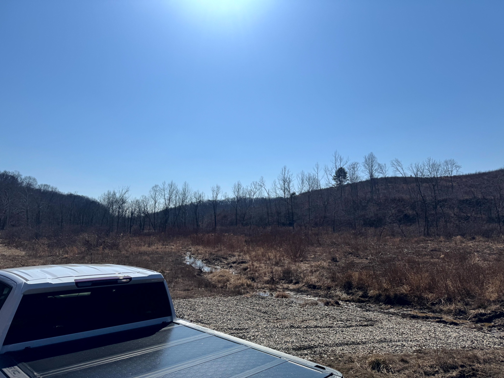
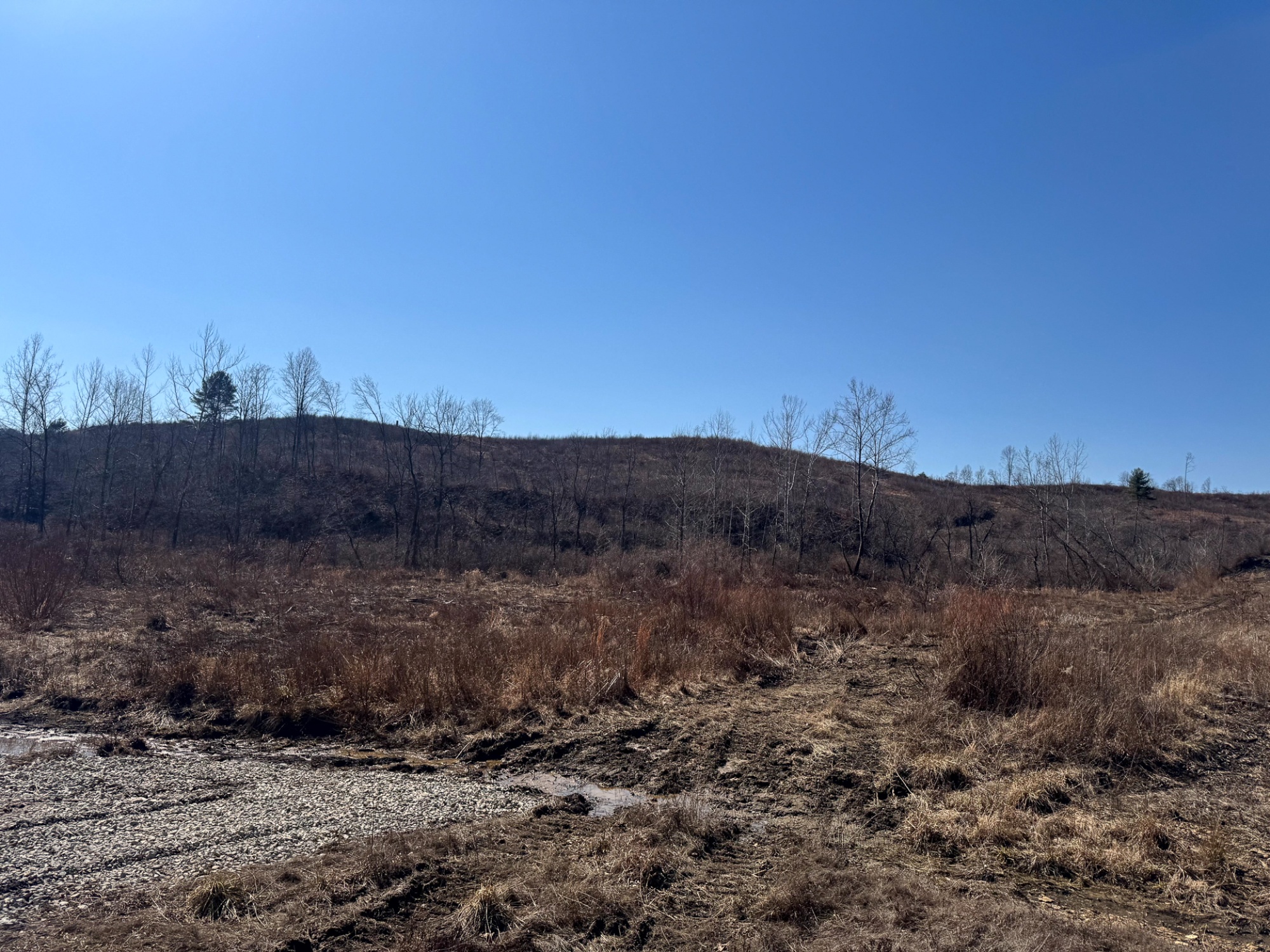
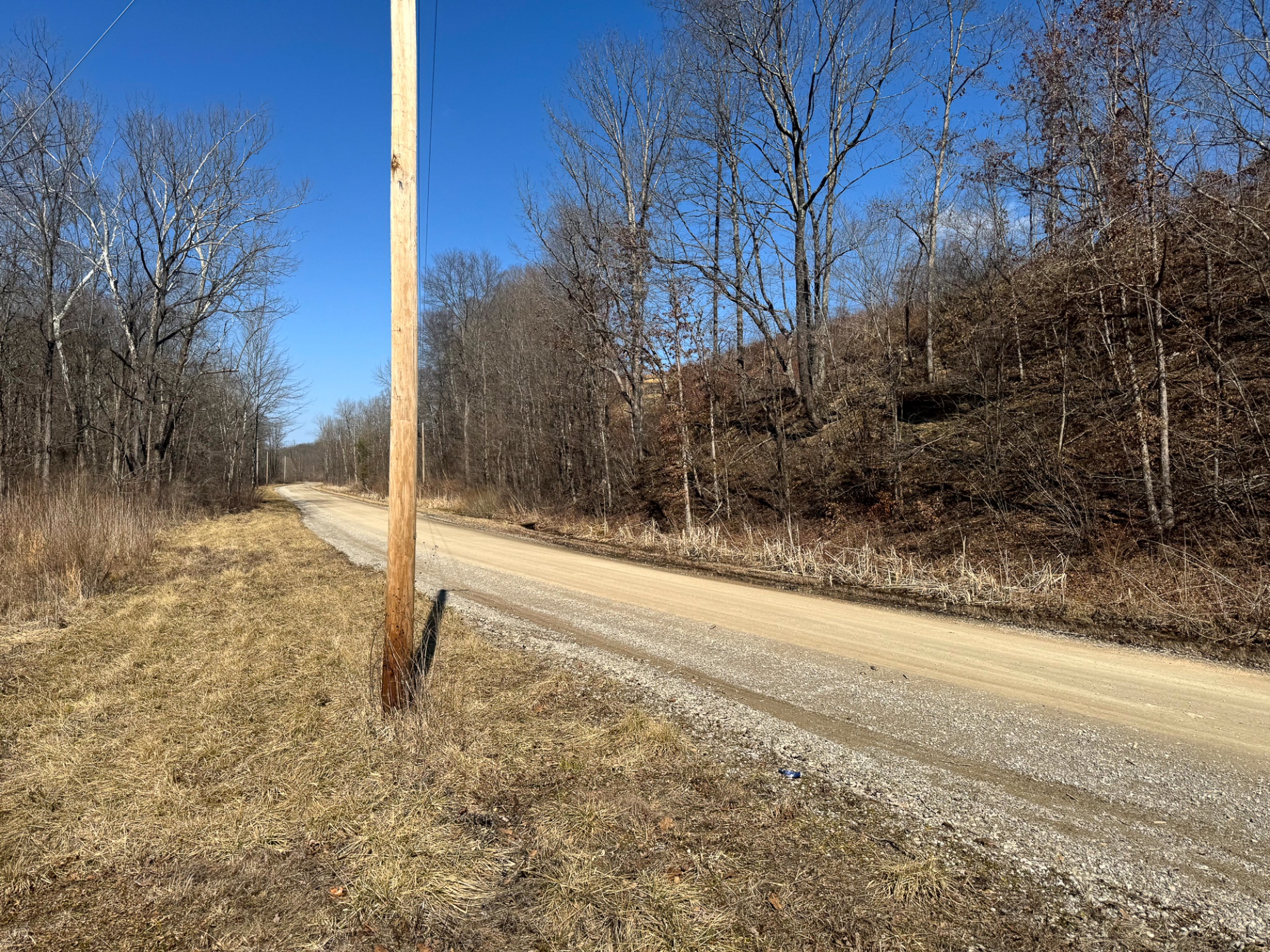
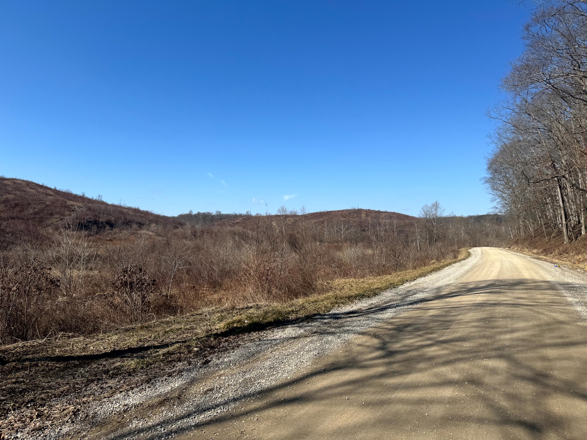
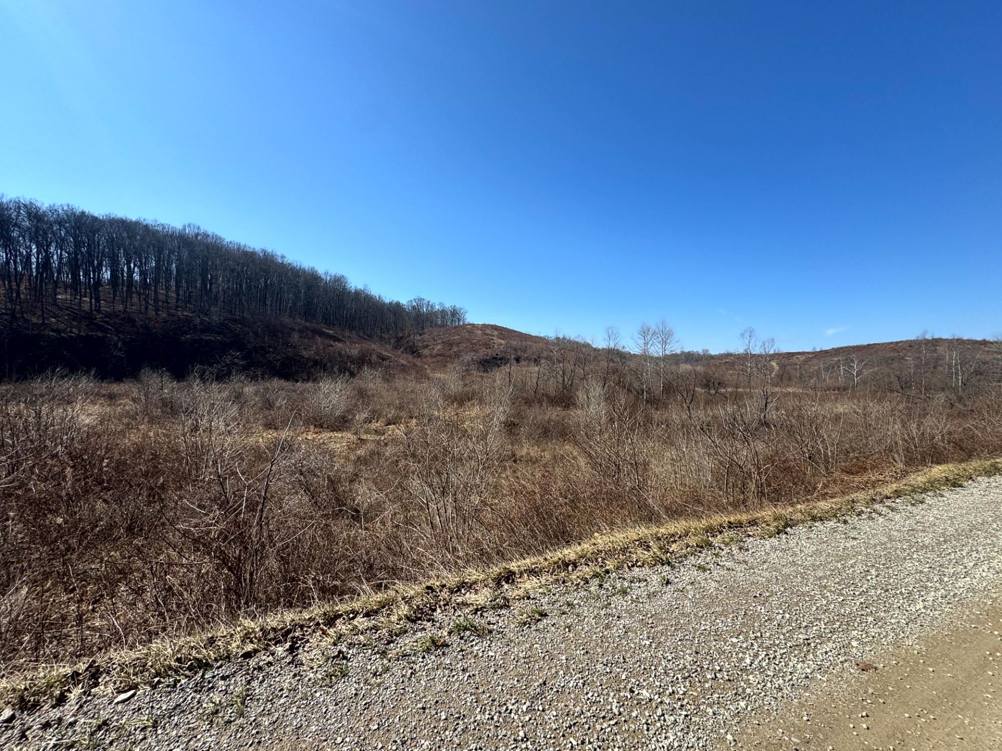
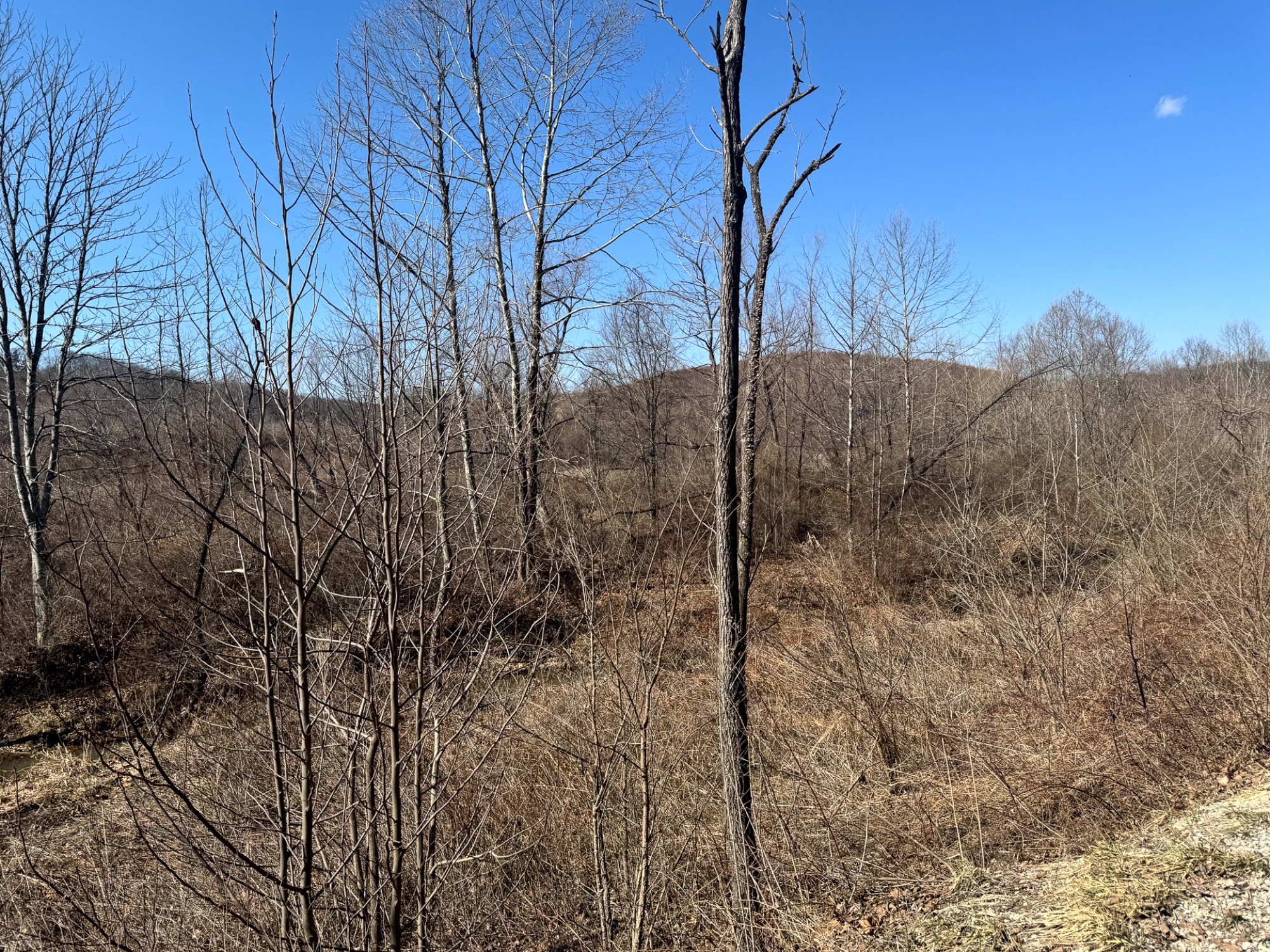
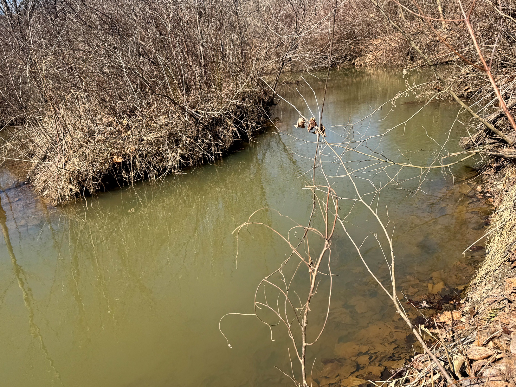
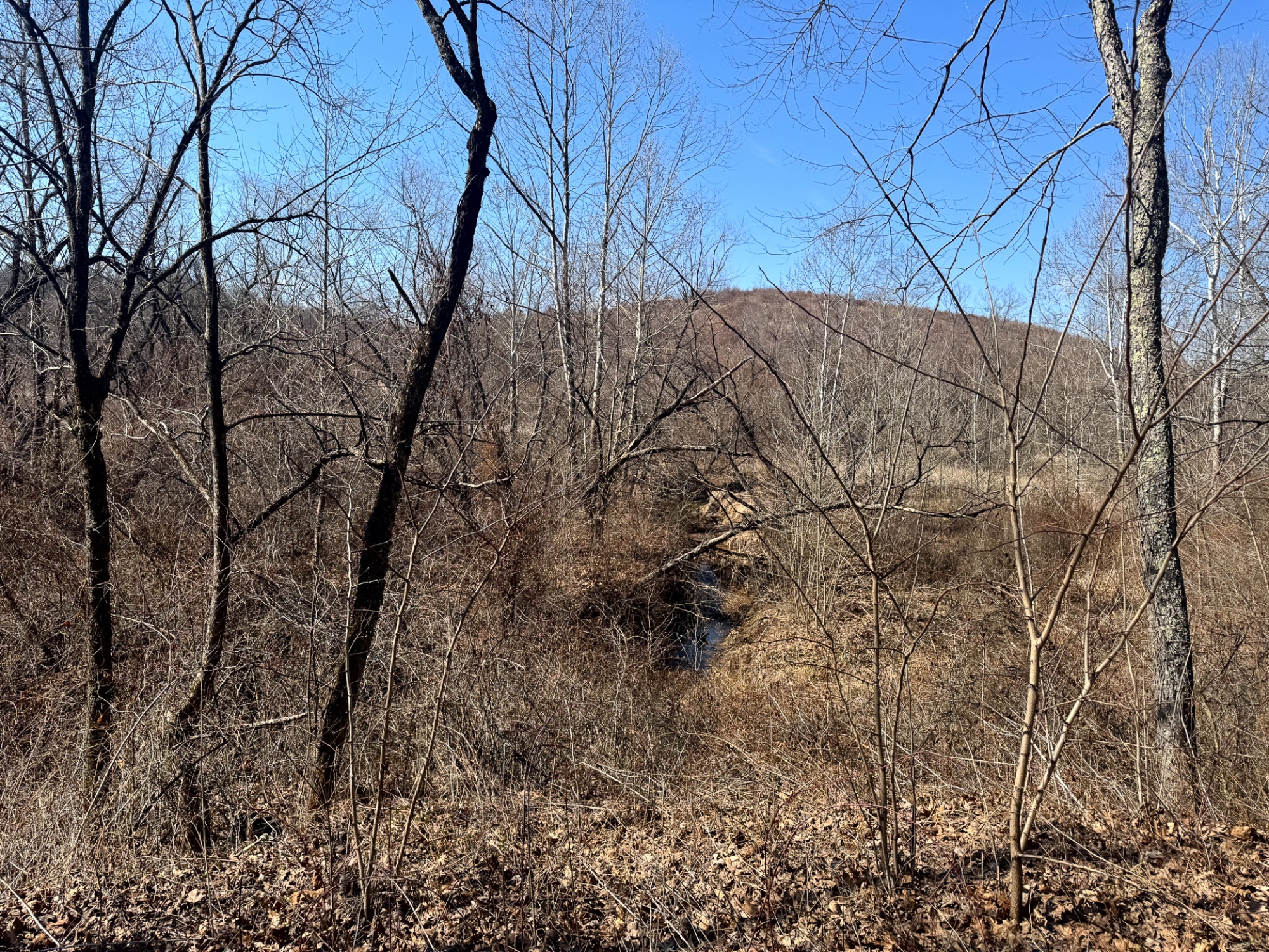
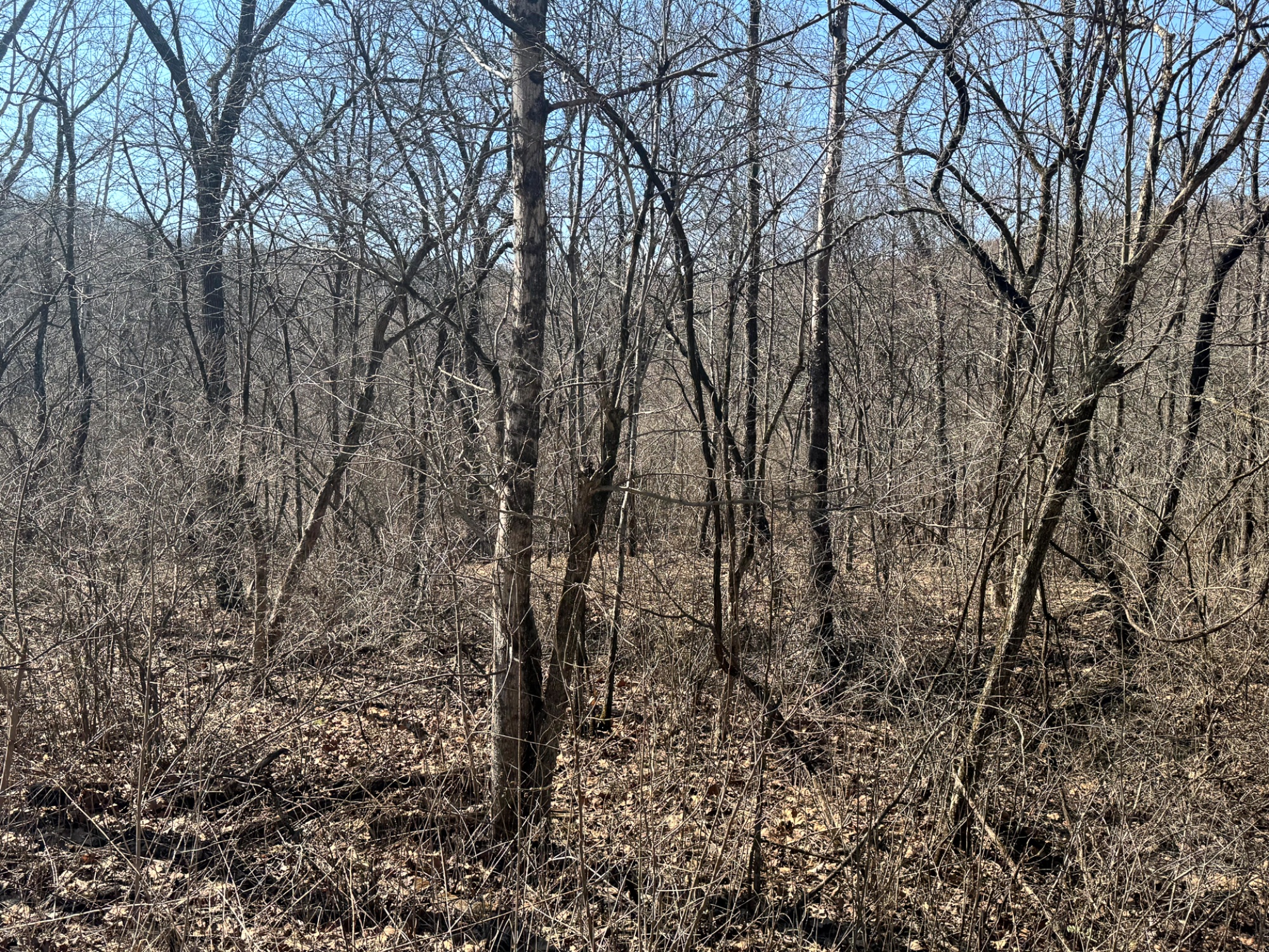
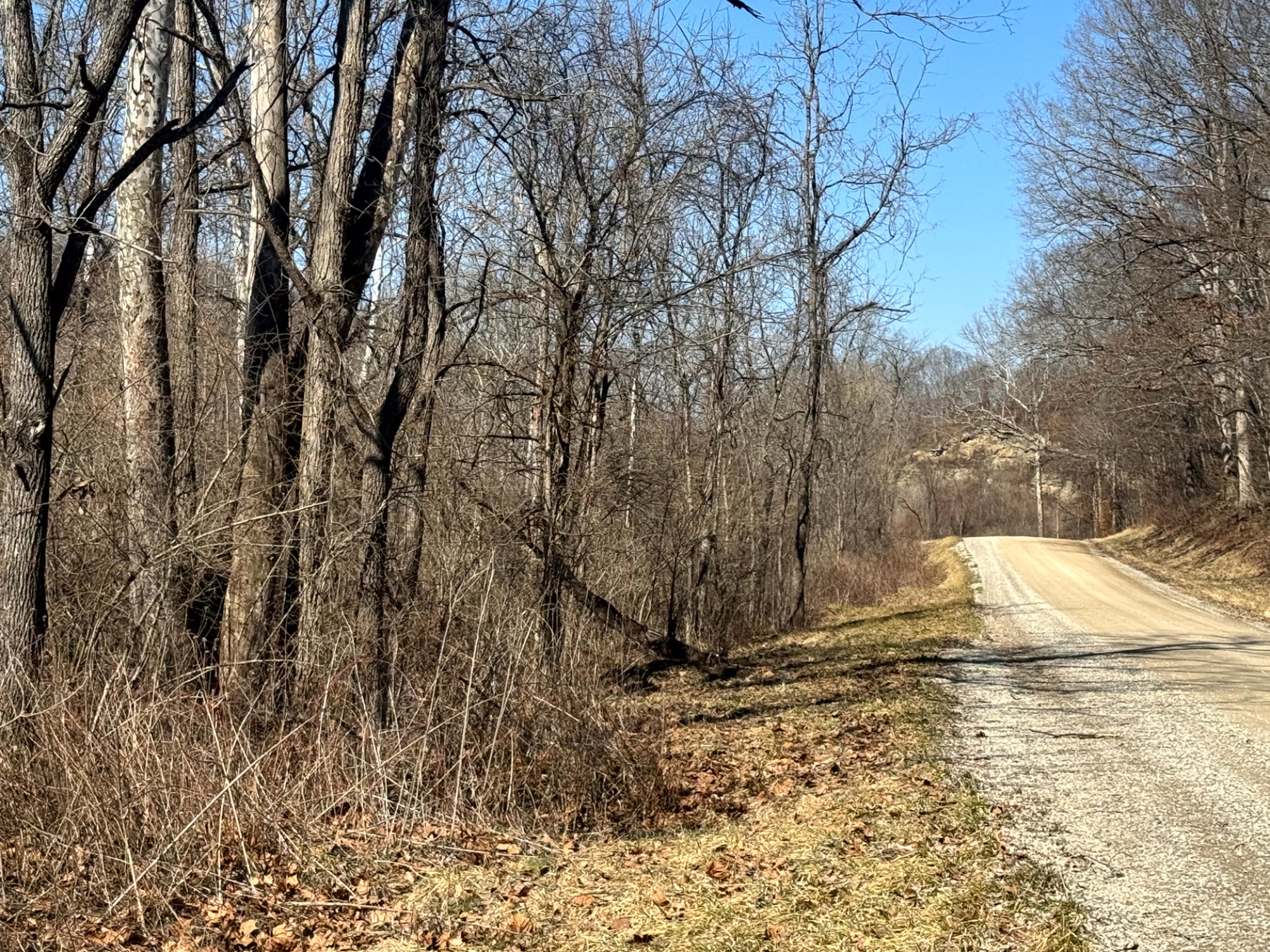
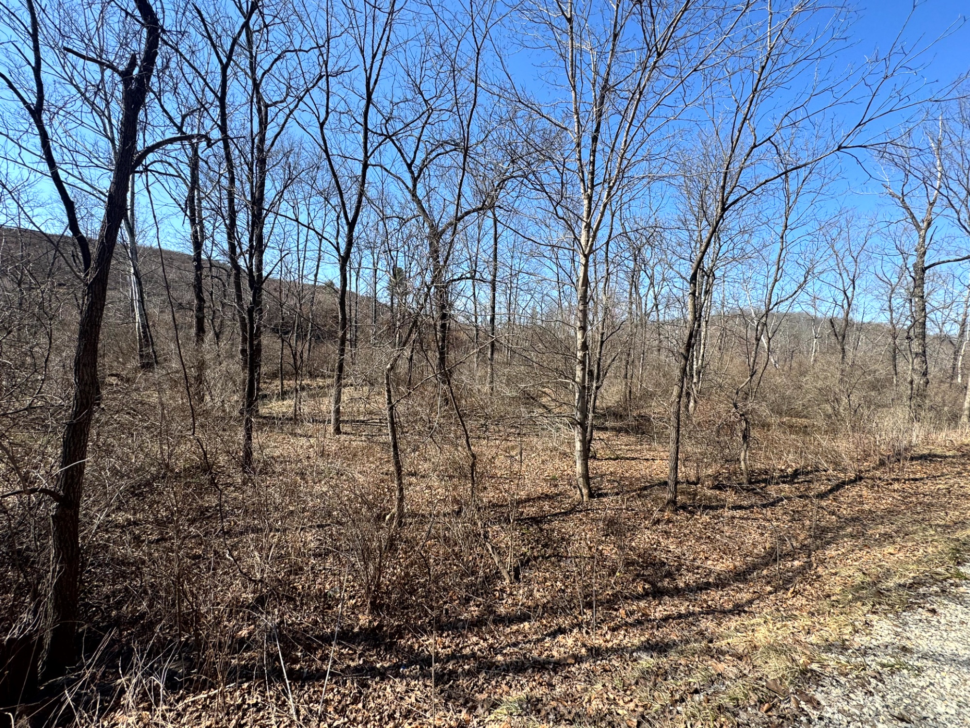
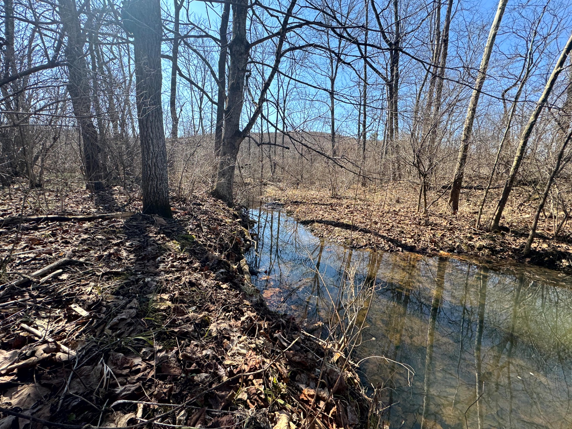
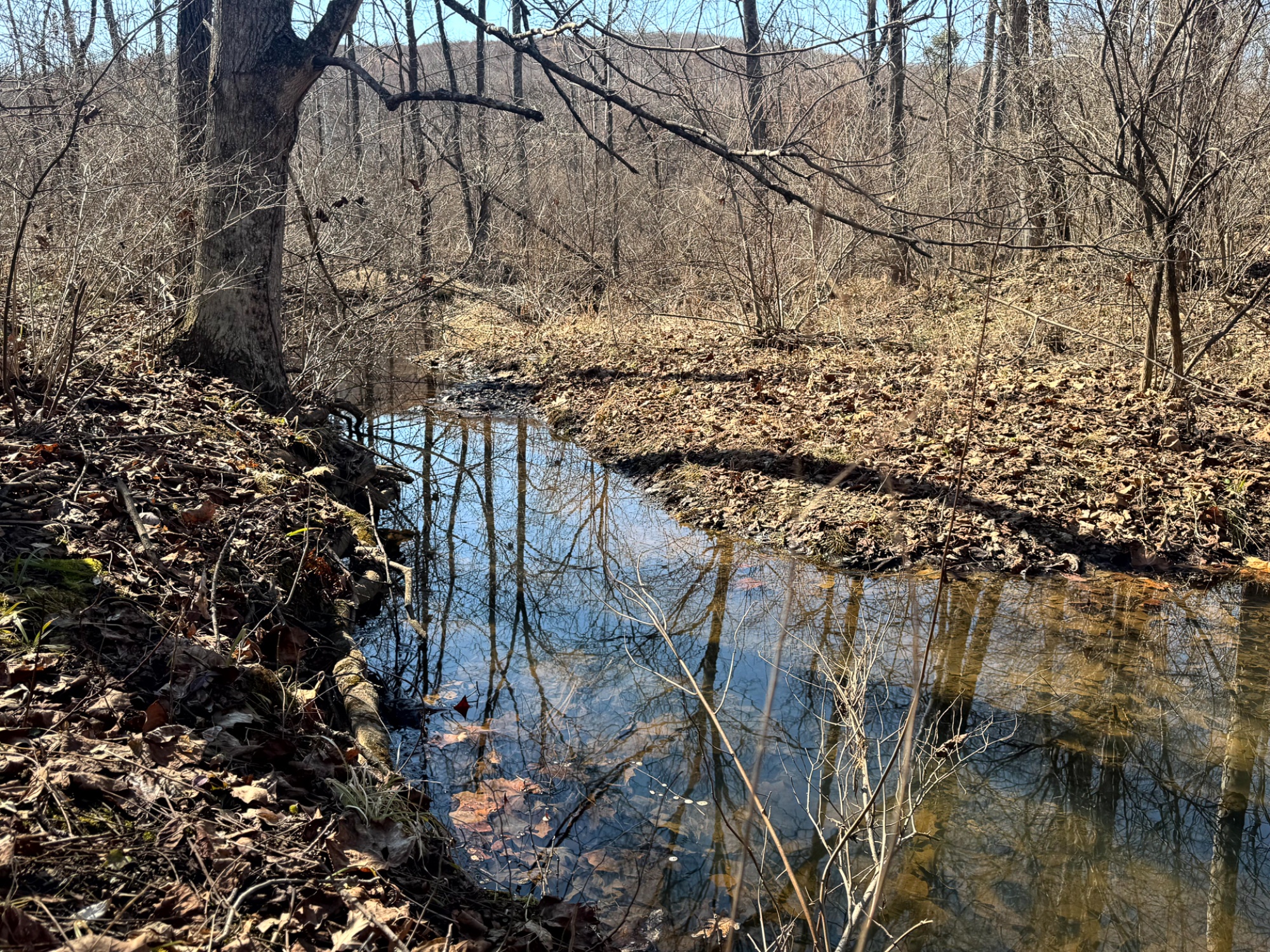
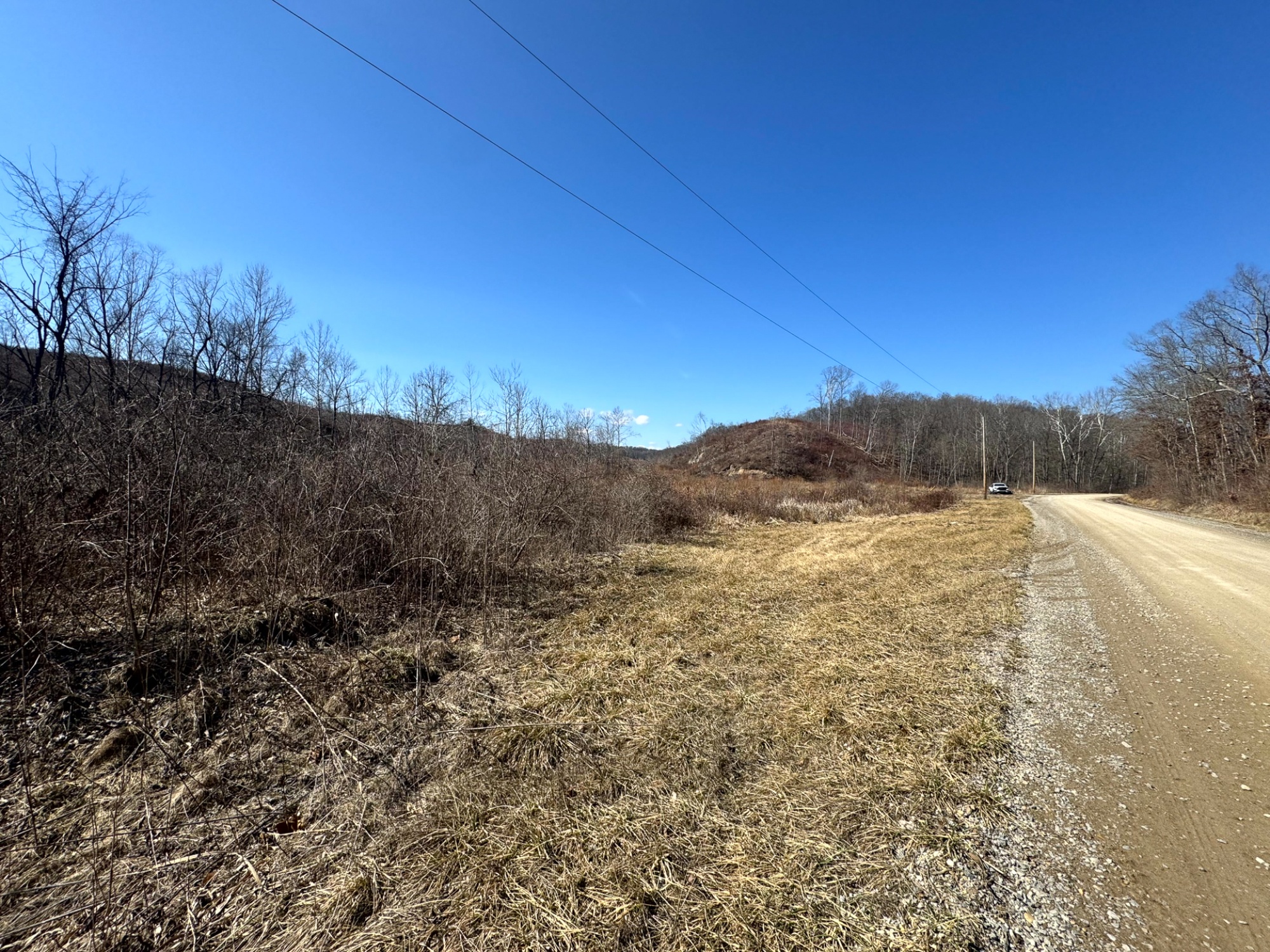
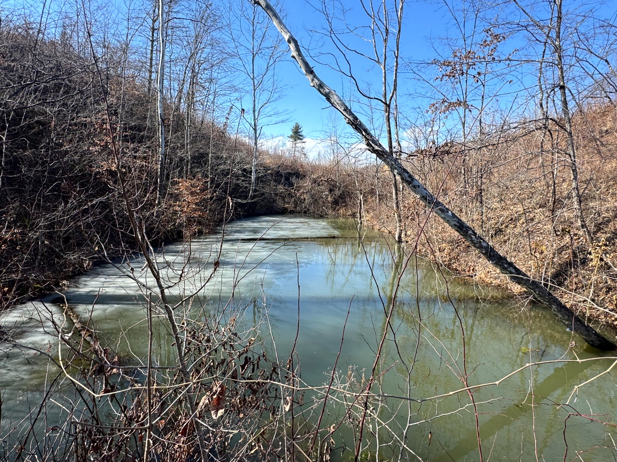
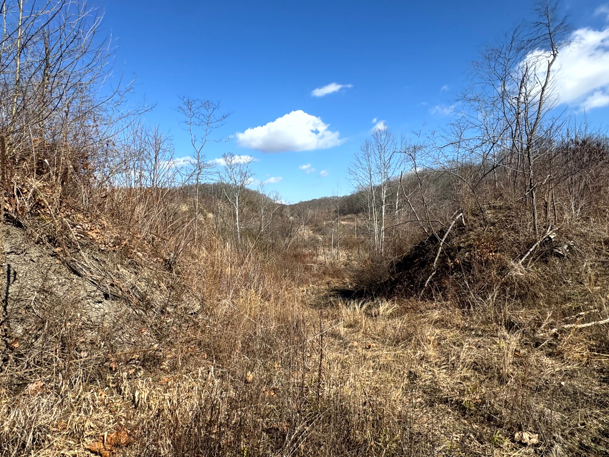
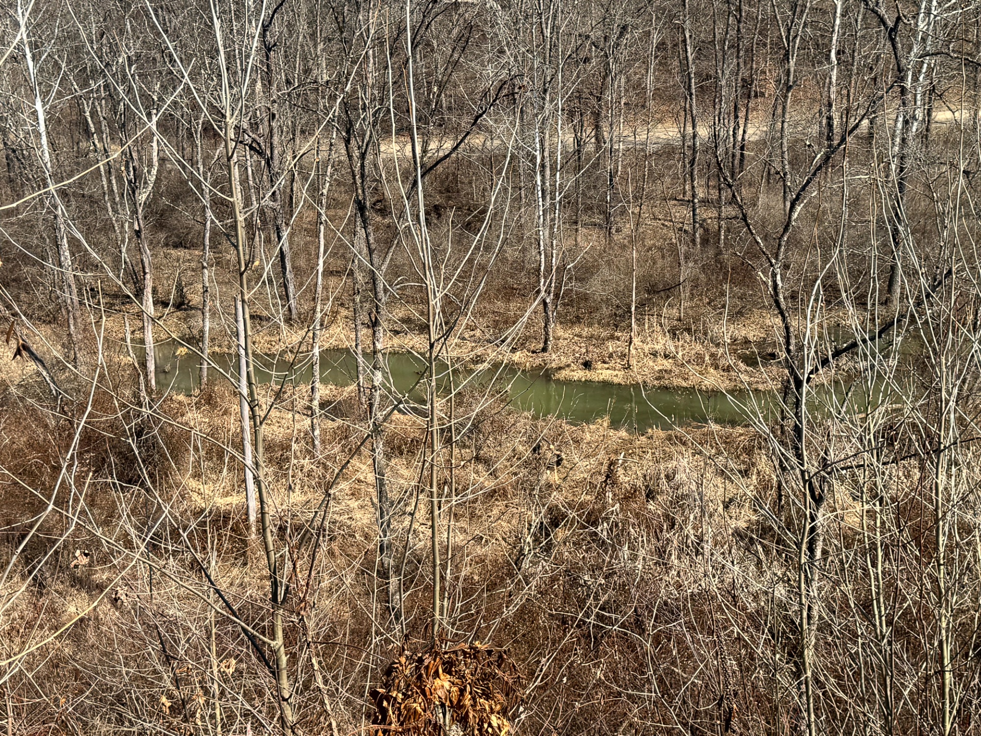
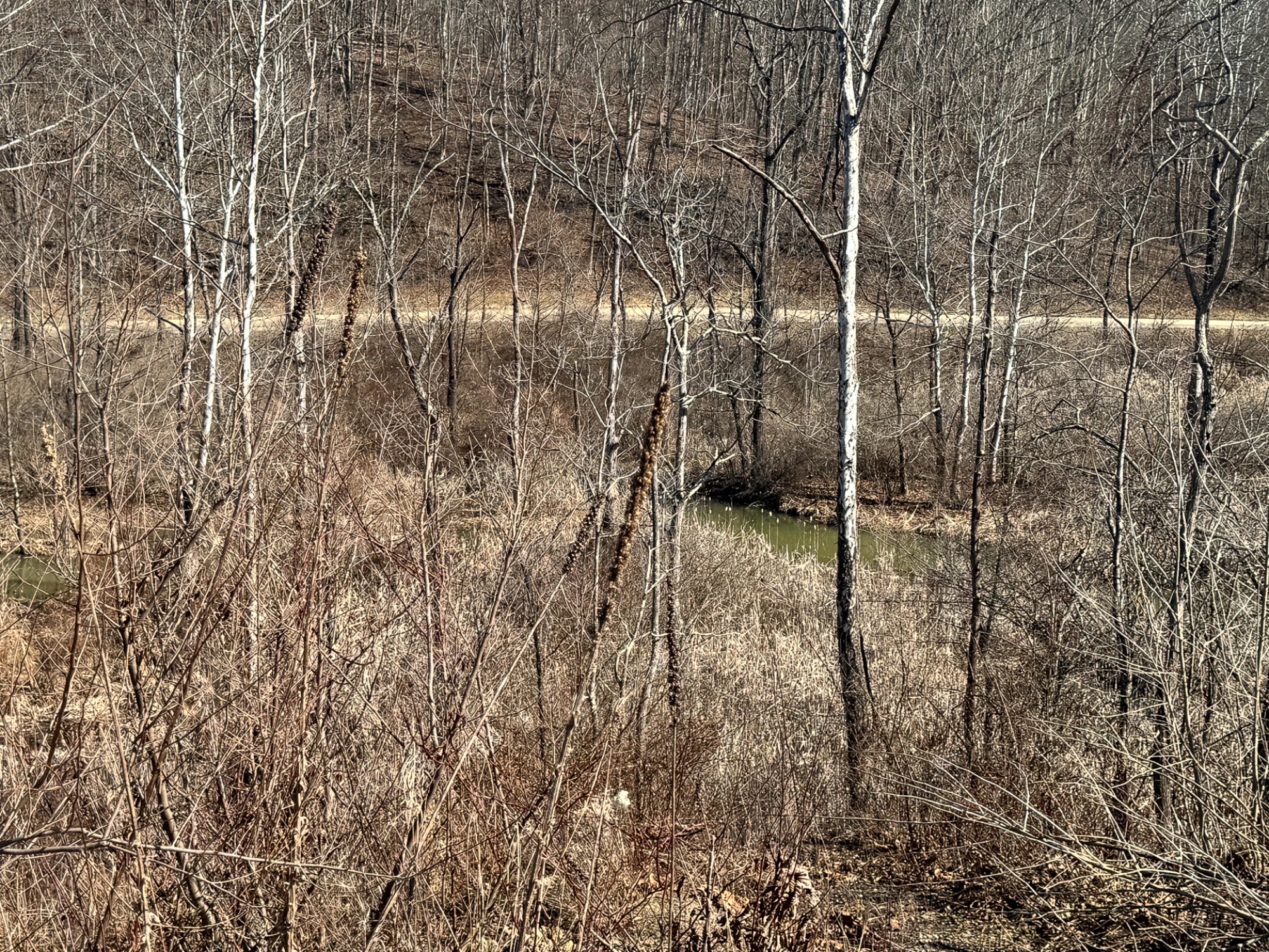
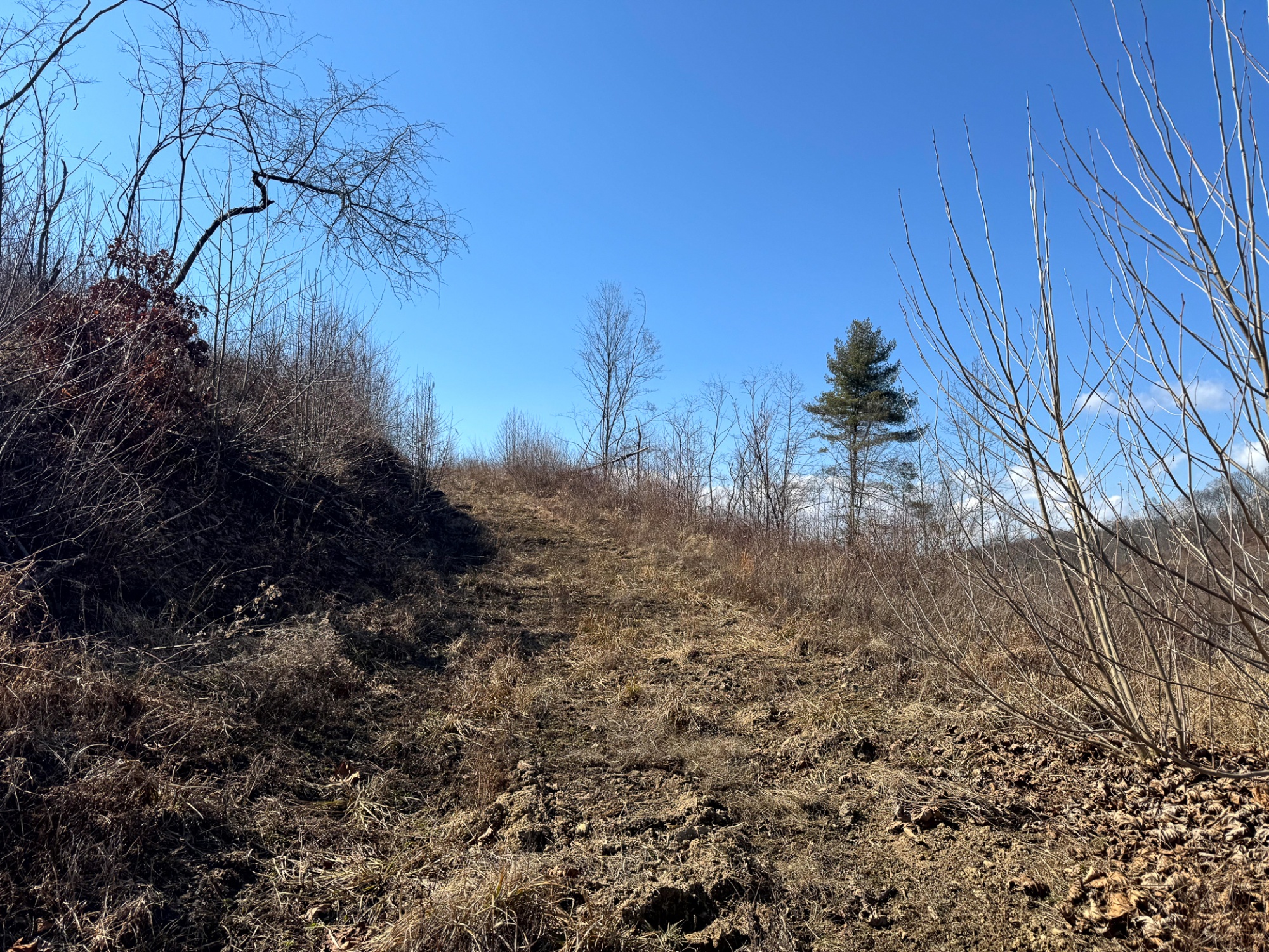
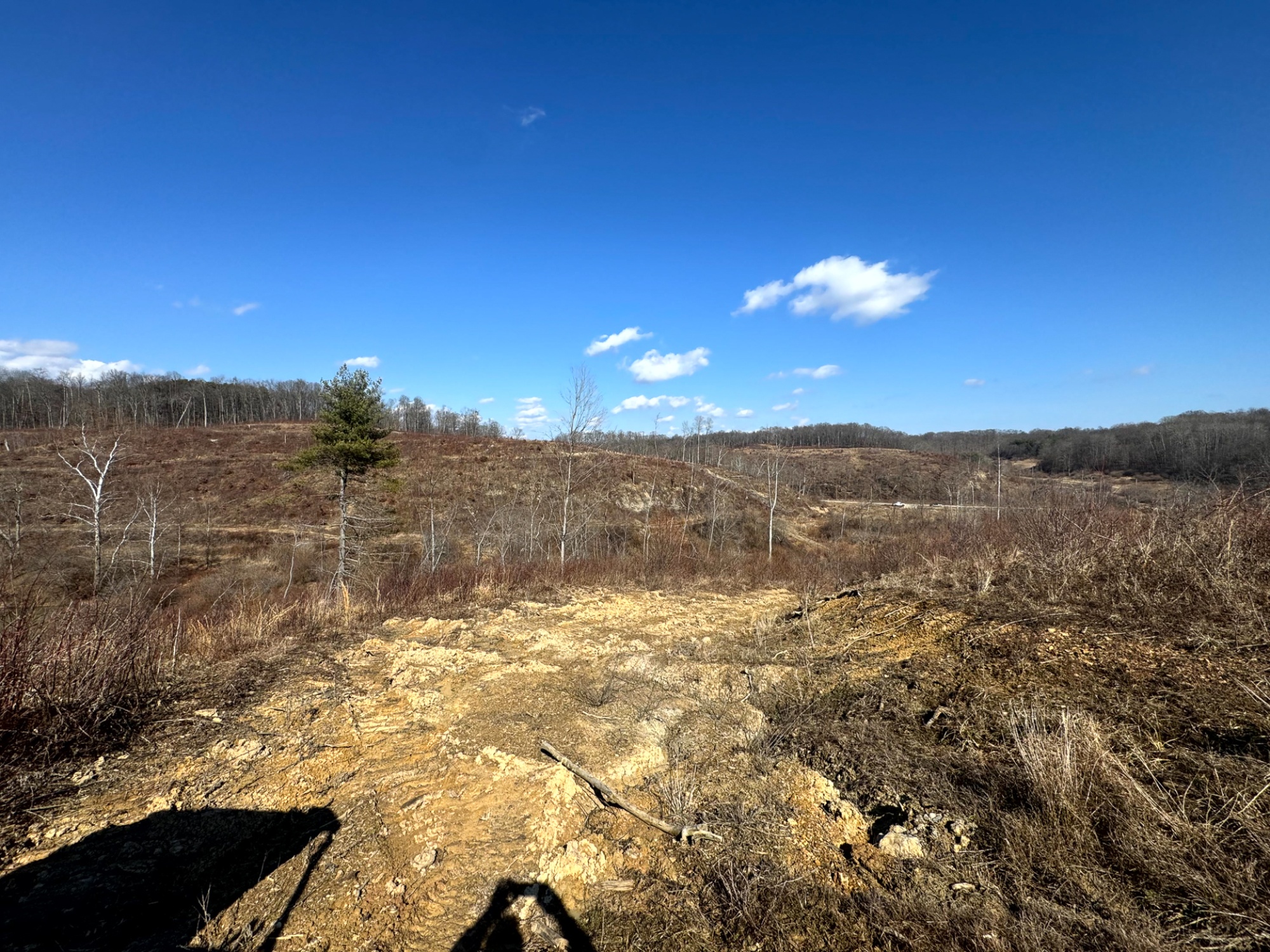
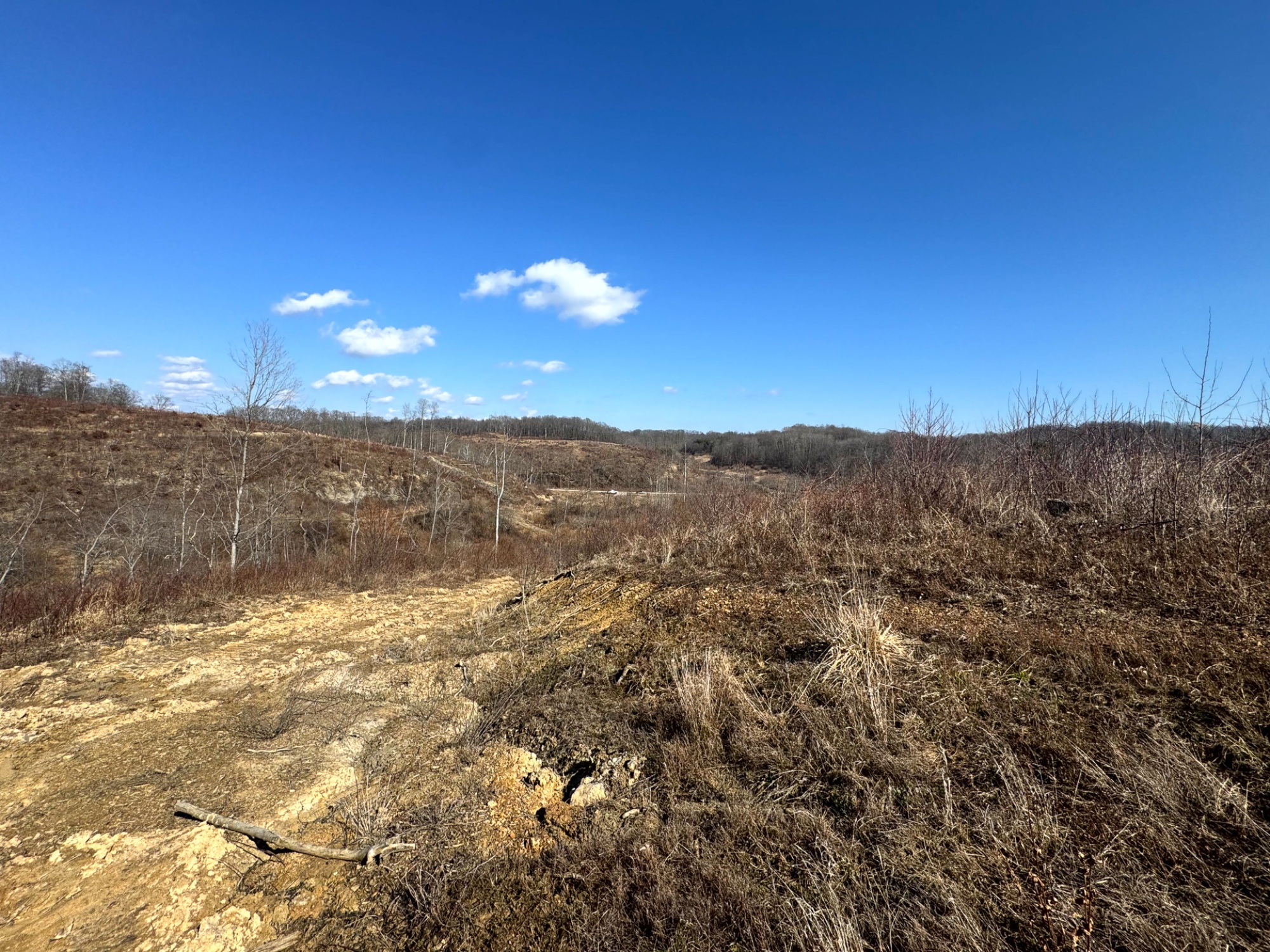
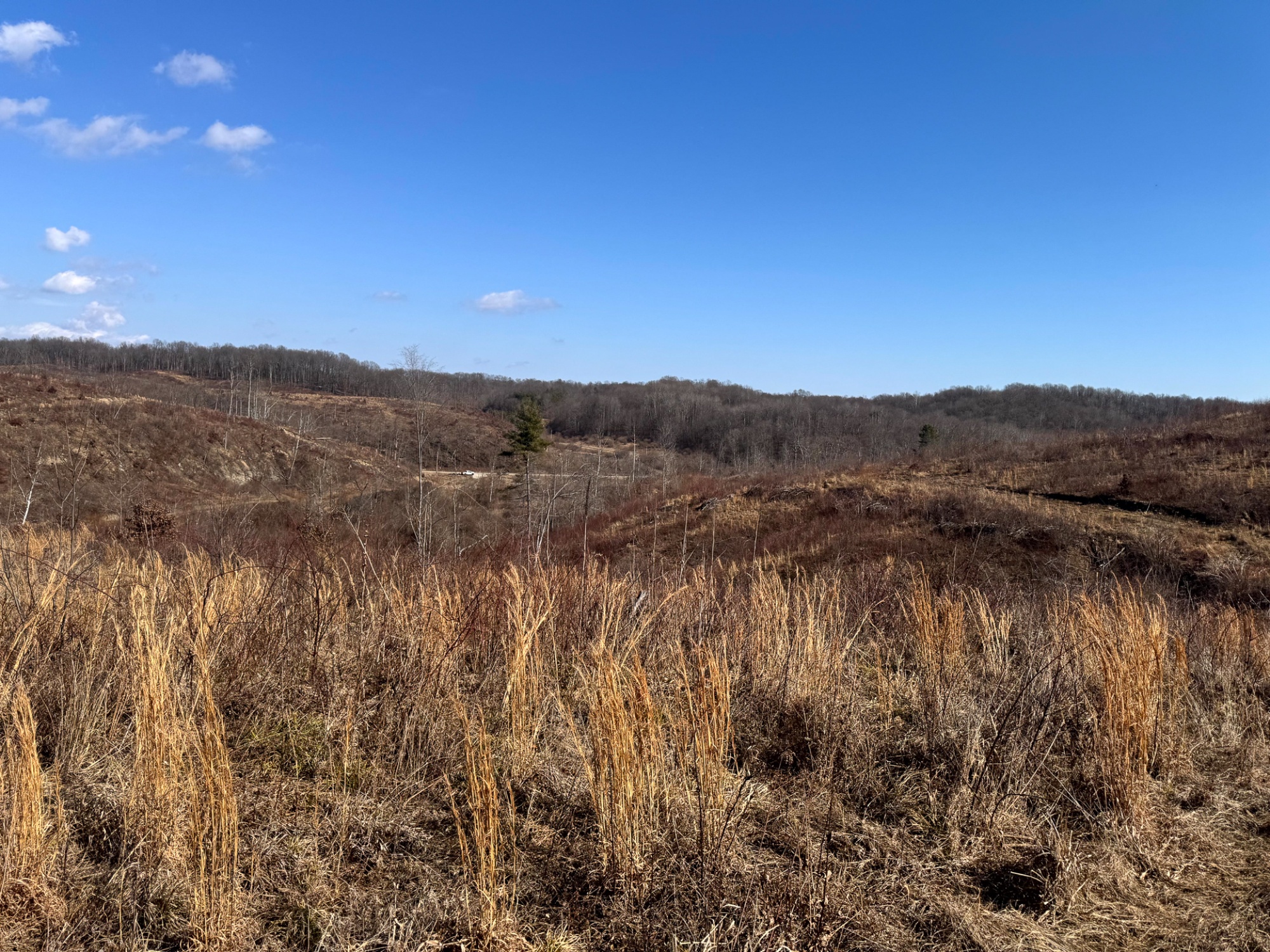
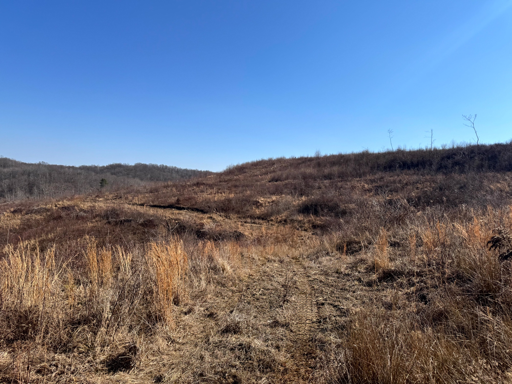
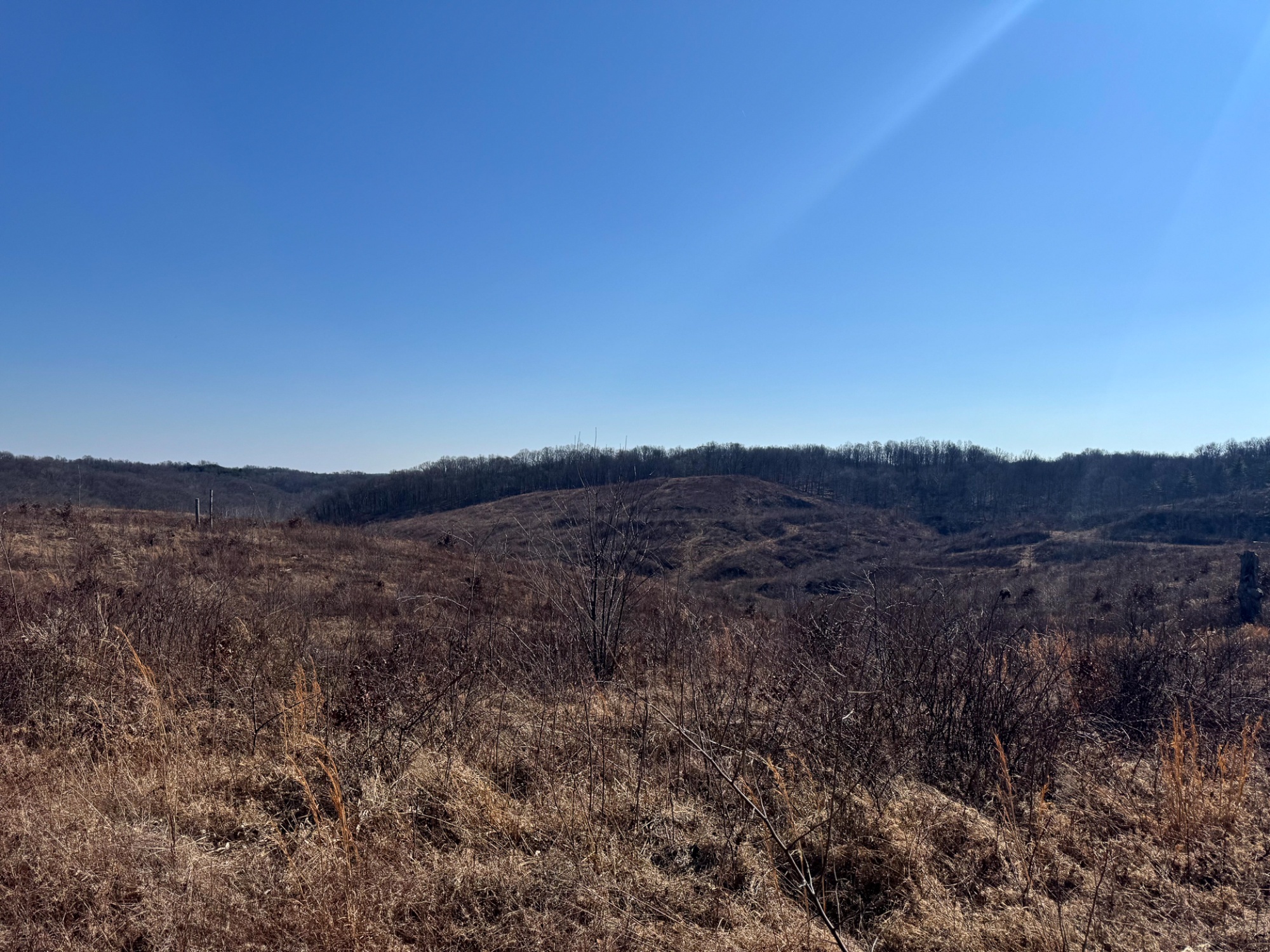
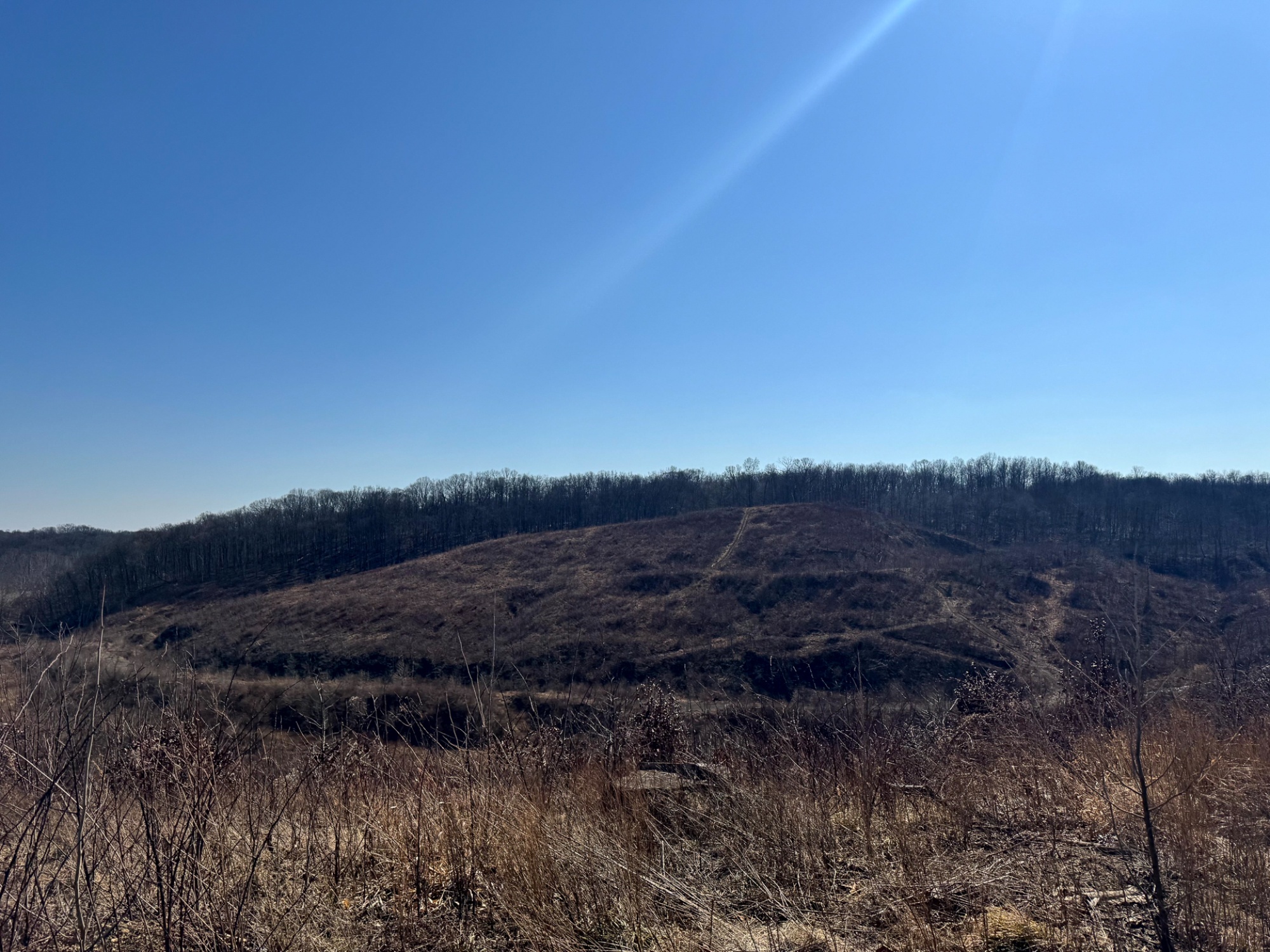
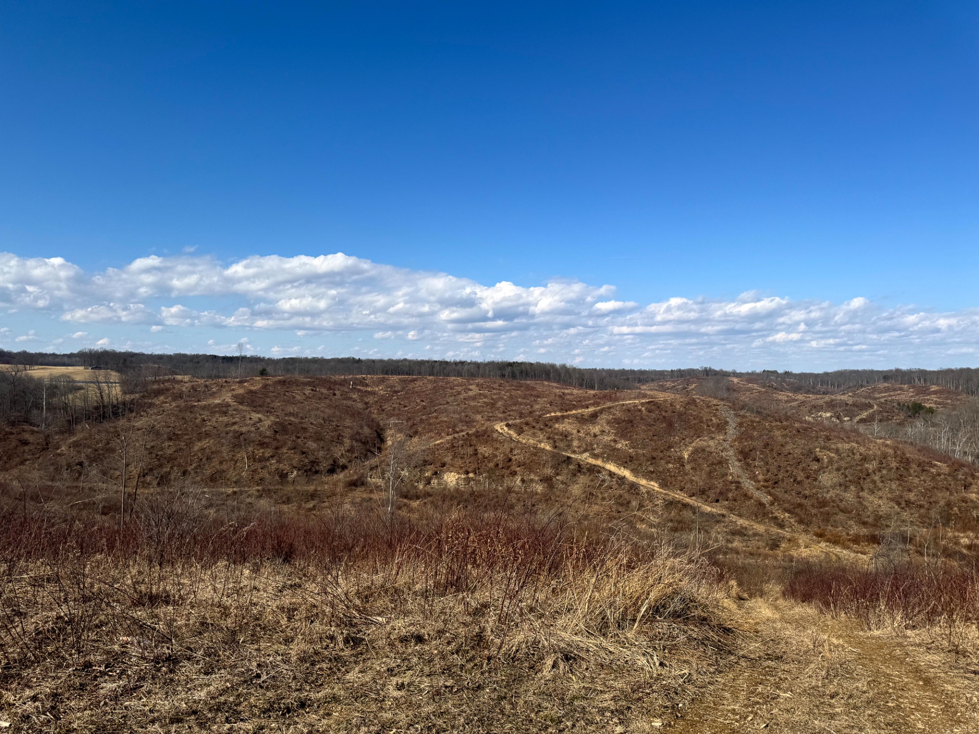
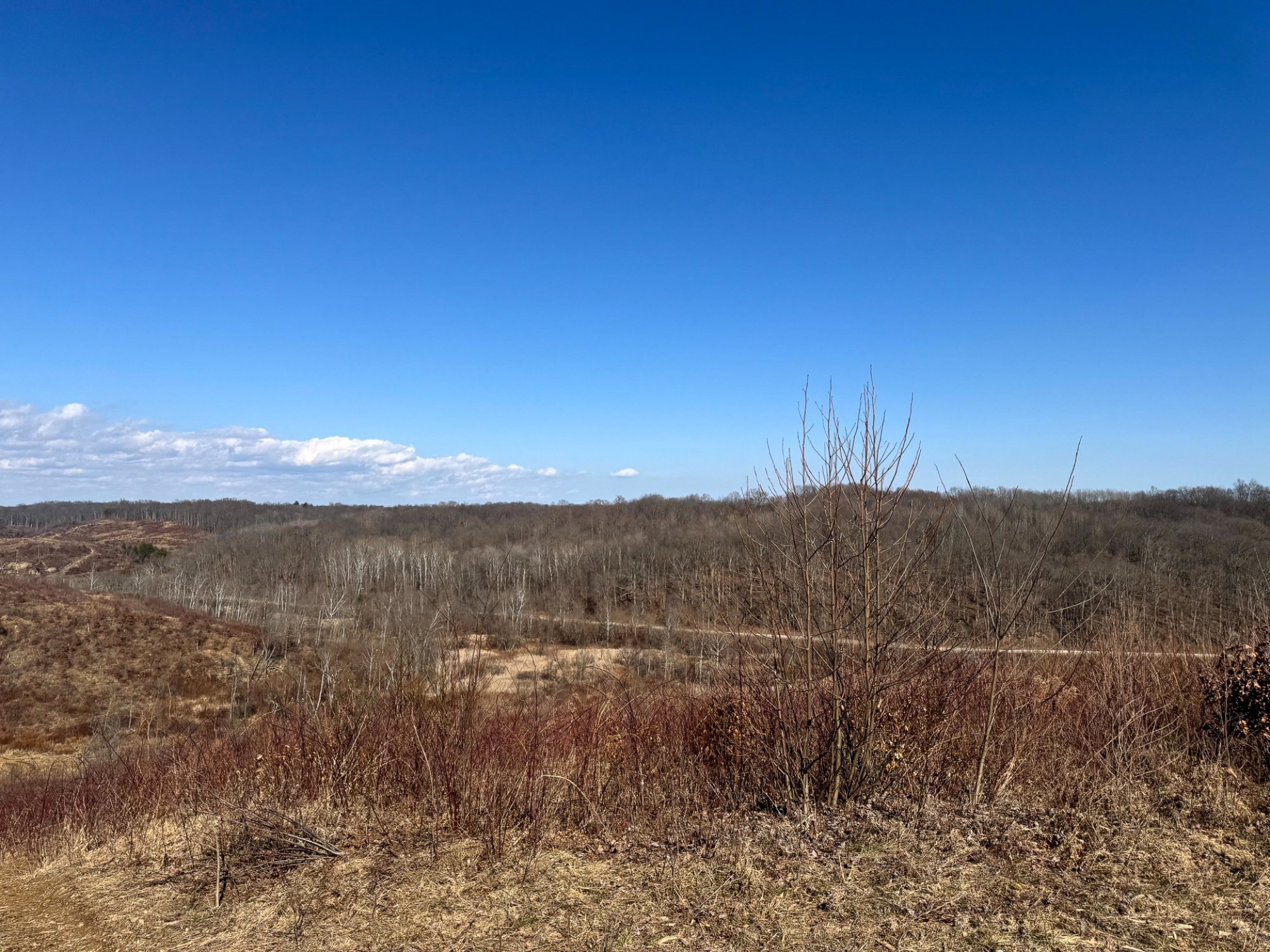
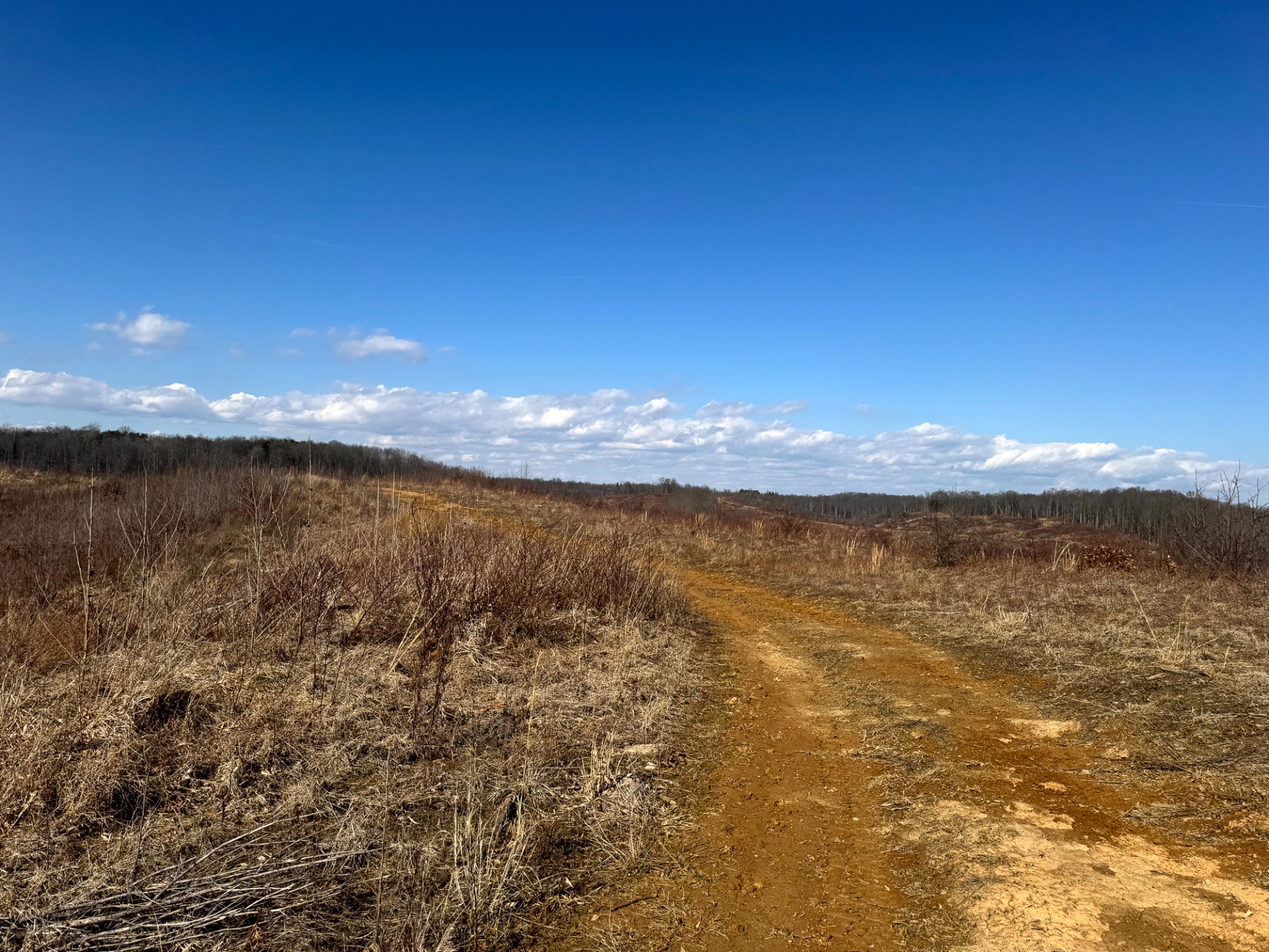
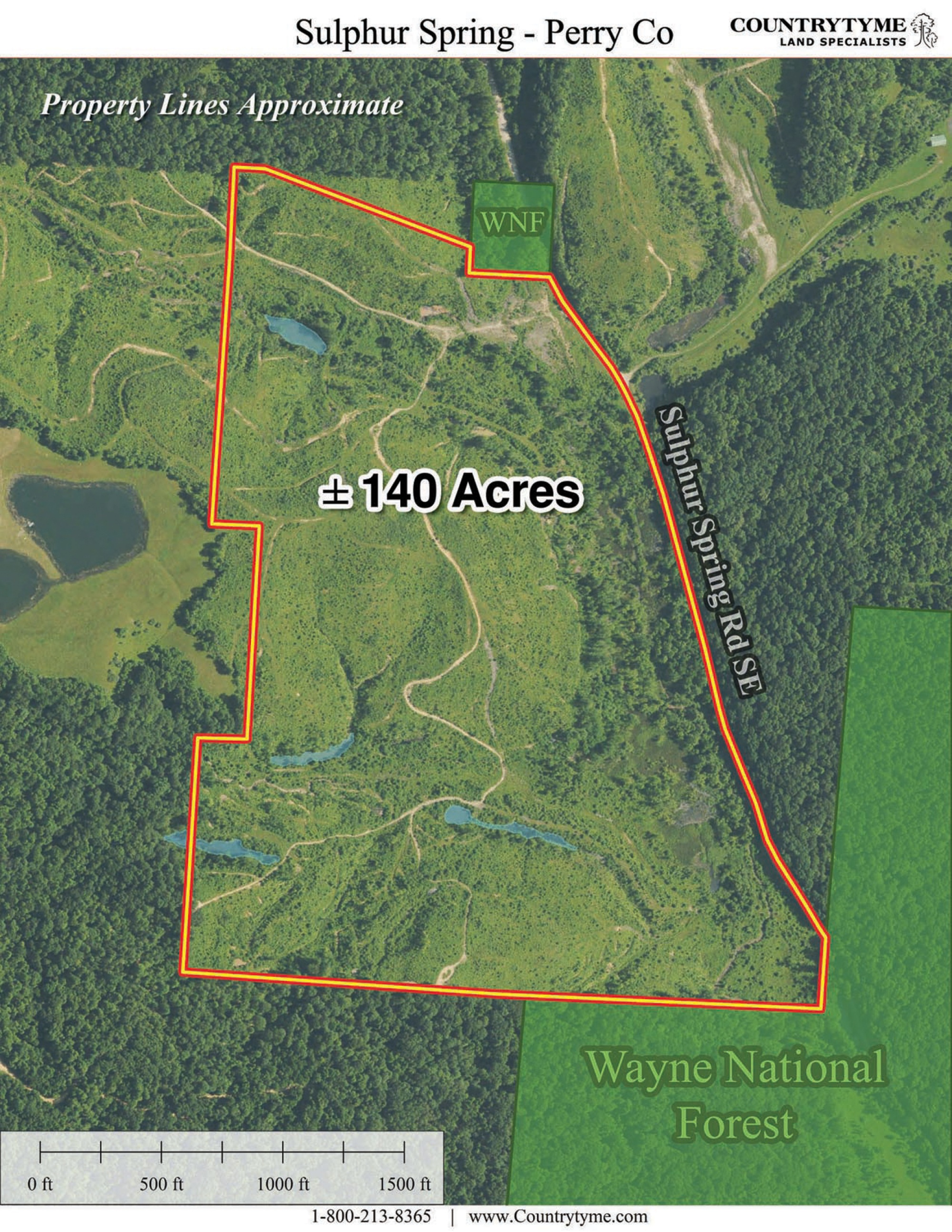
A rare chance to own 140 acres of prime hunting ground with a strong mix of habitat and terrain. This property is loaded with wildlife and features rolling topography, thick cover, established trails, and multiple water sources that help attract and hold deer, turkey, and small game. Bordering Wayne National Forest helps keep game moving through the area, pushing wildlife across the property while you still maintain the privacy and control of your own ground.
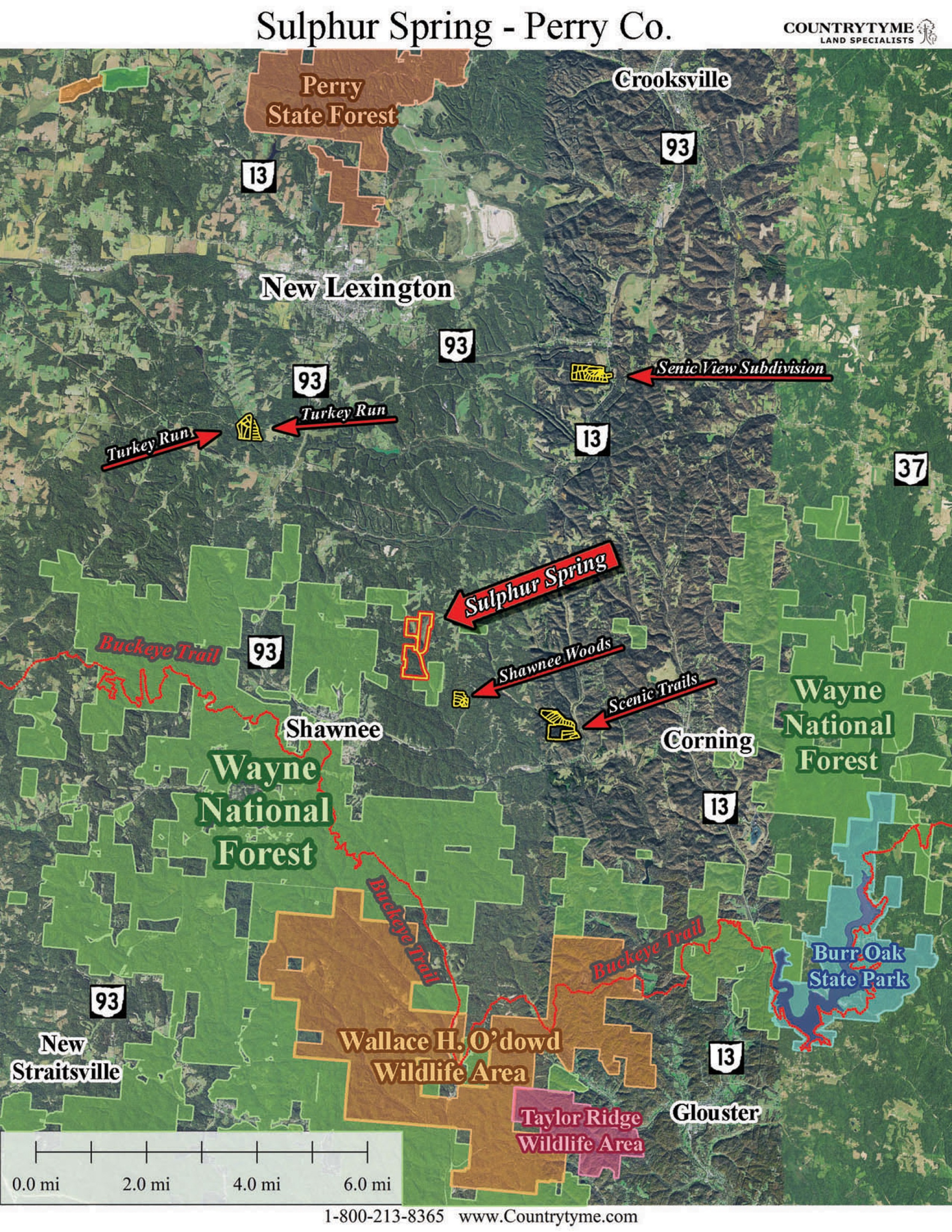
Sulphur Spring is located:
0 Sulphur Spring Rd SE, New Lexington, OH 43764
GPS Coordinates: 39.622043, -82.179871
Countrytyme Maps and Additional Information
A Countrytyme advantage
Take the property lines into the field.
On your phone, tap Walk property lines, allow your location when asked, and follow the blue dot in Tract Explorer to see your position in relation to the mapped boundary while you explore.
Walk property linesProperty photos