This property has sold.
The interactive map and property-line walking tools remain available. Driving directions are not provided for sold properties.
Interactive property map
Explore this property map. Switch aerial, topographic, soil, water, contour, and terrain layers while the mapped project boundary stays visible.
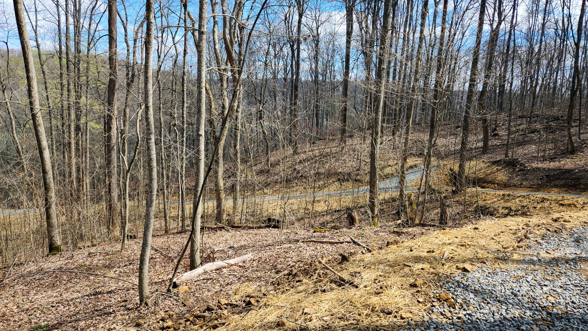
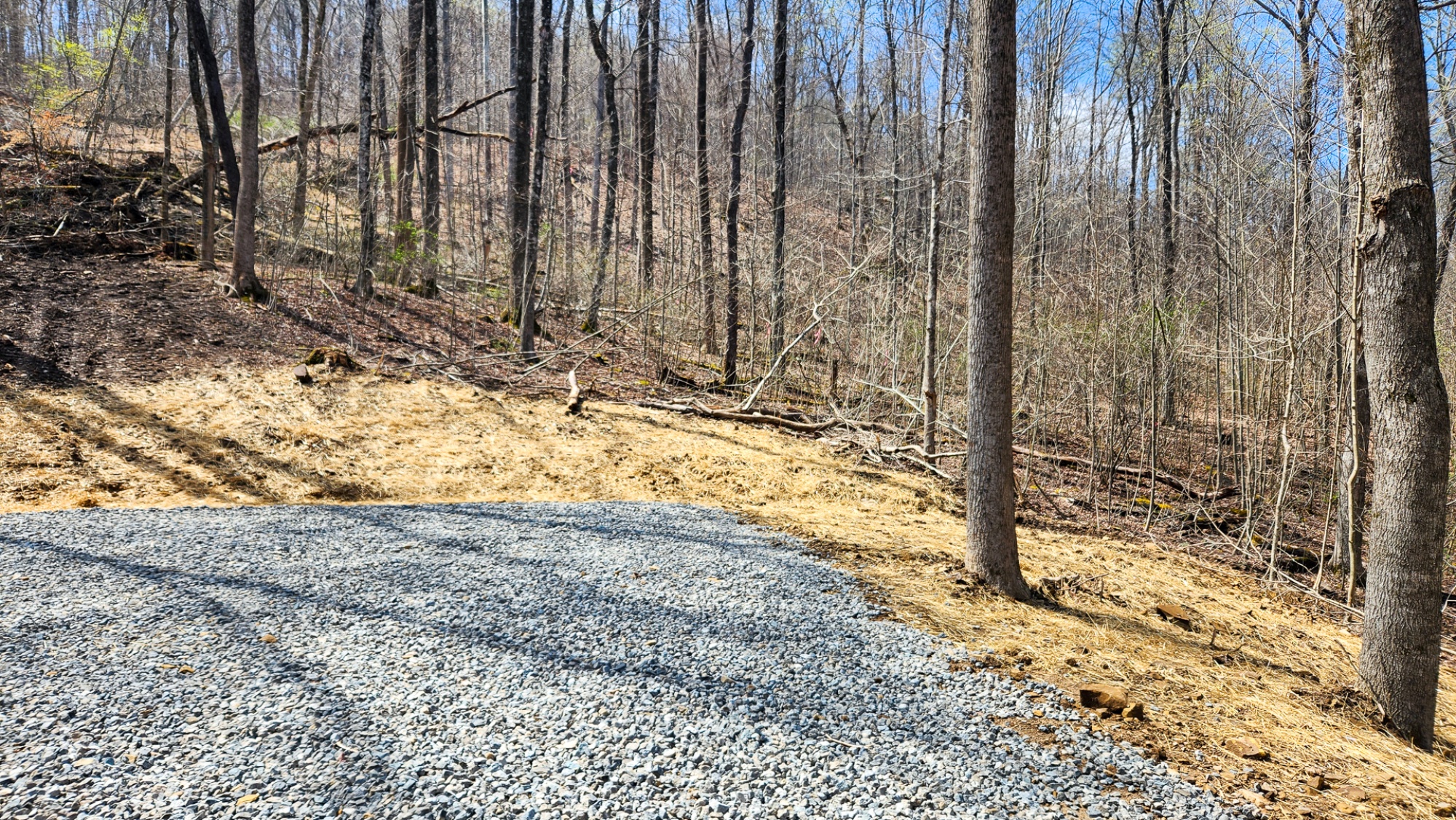
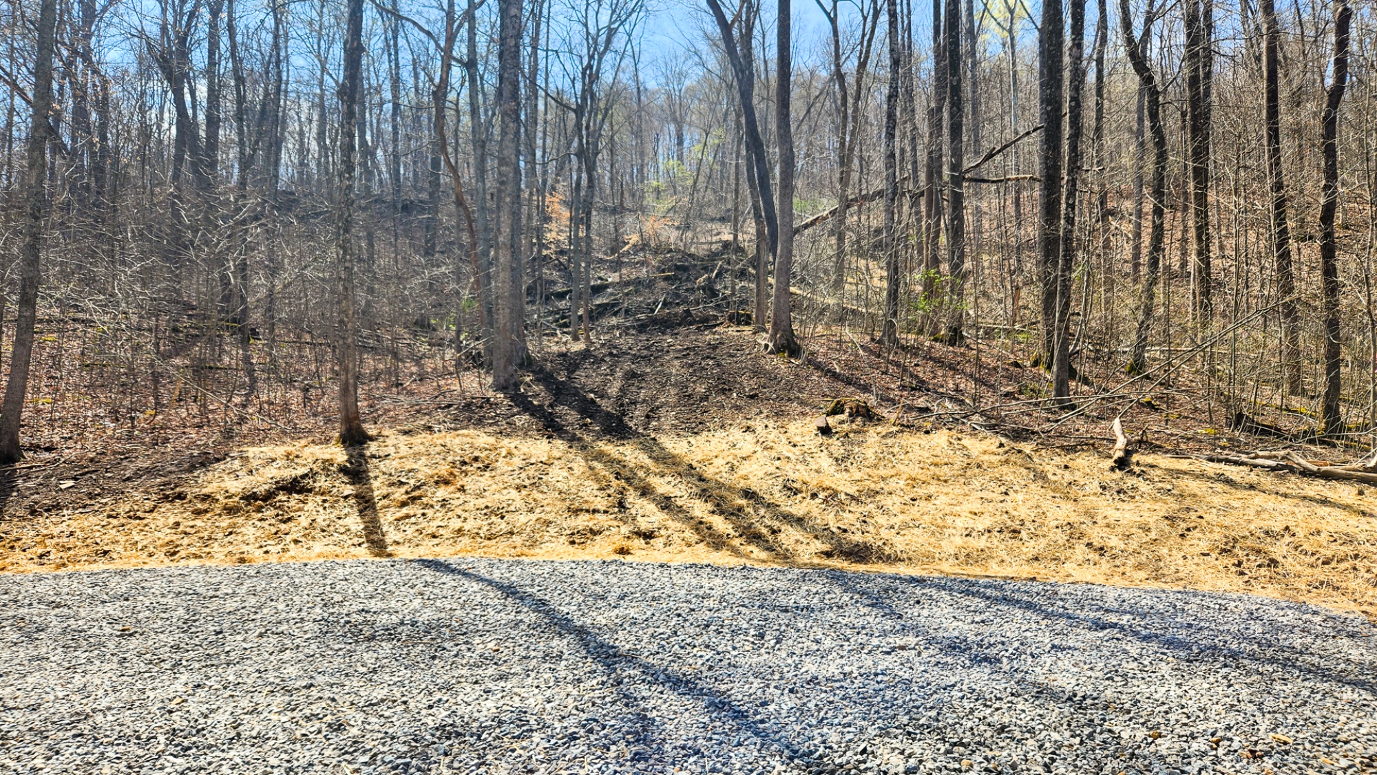
Property Description Tract 4 - Pike Lake Getaway Wooded Home/Cabin Site or Recreational Retreat
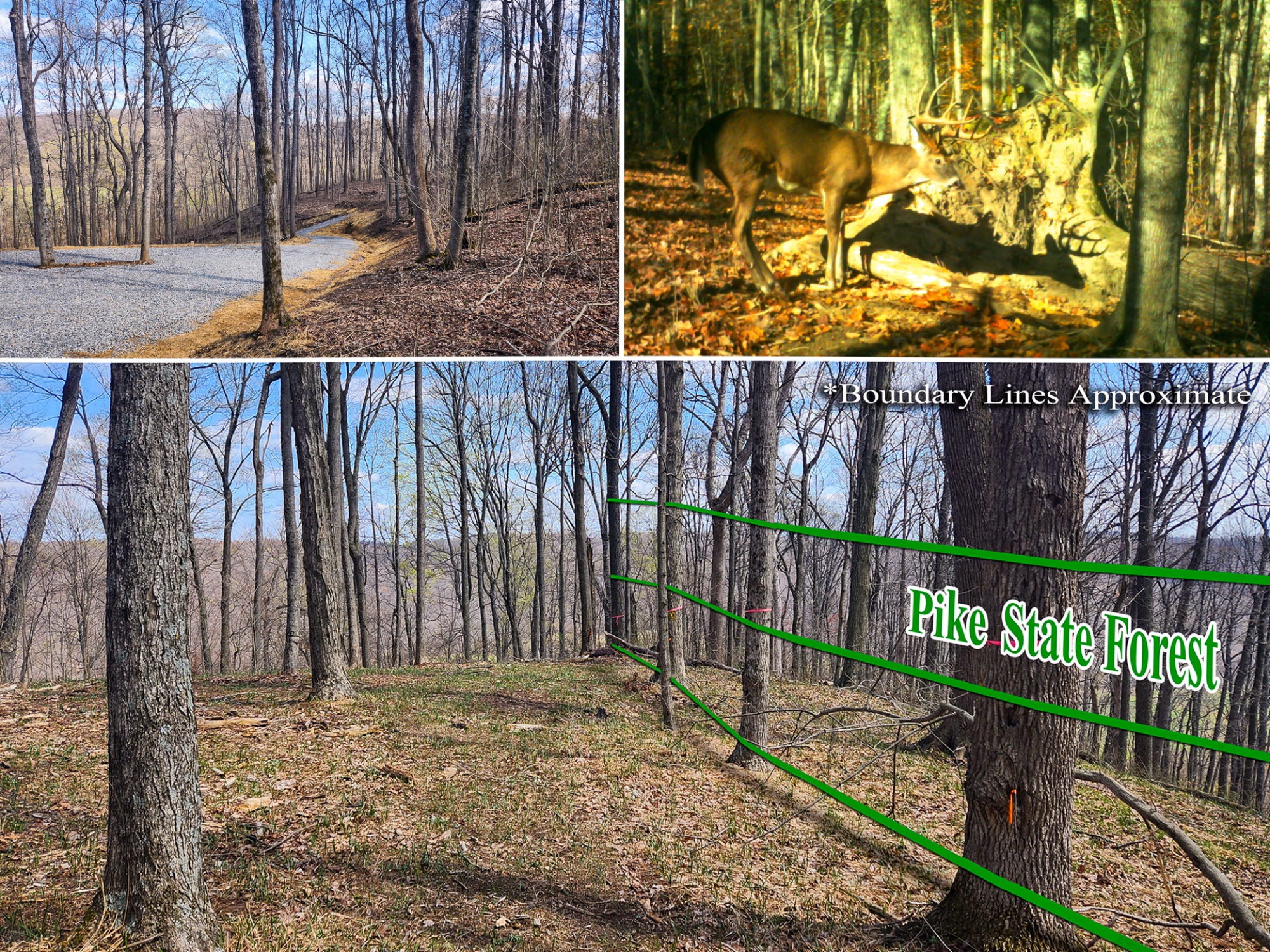
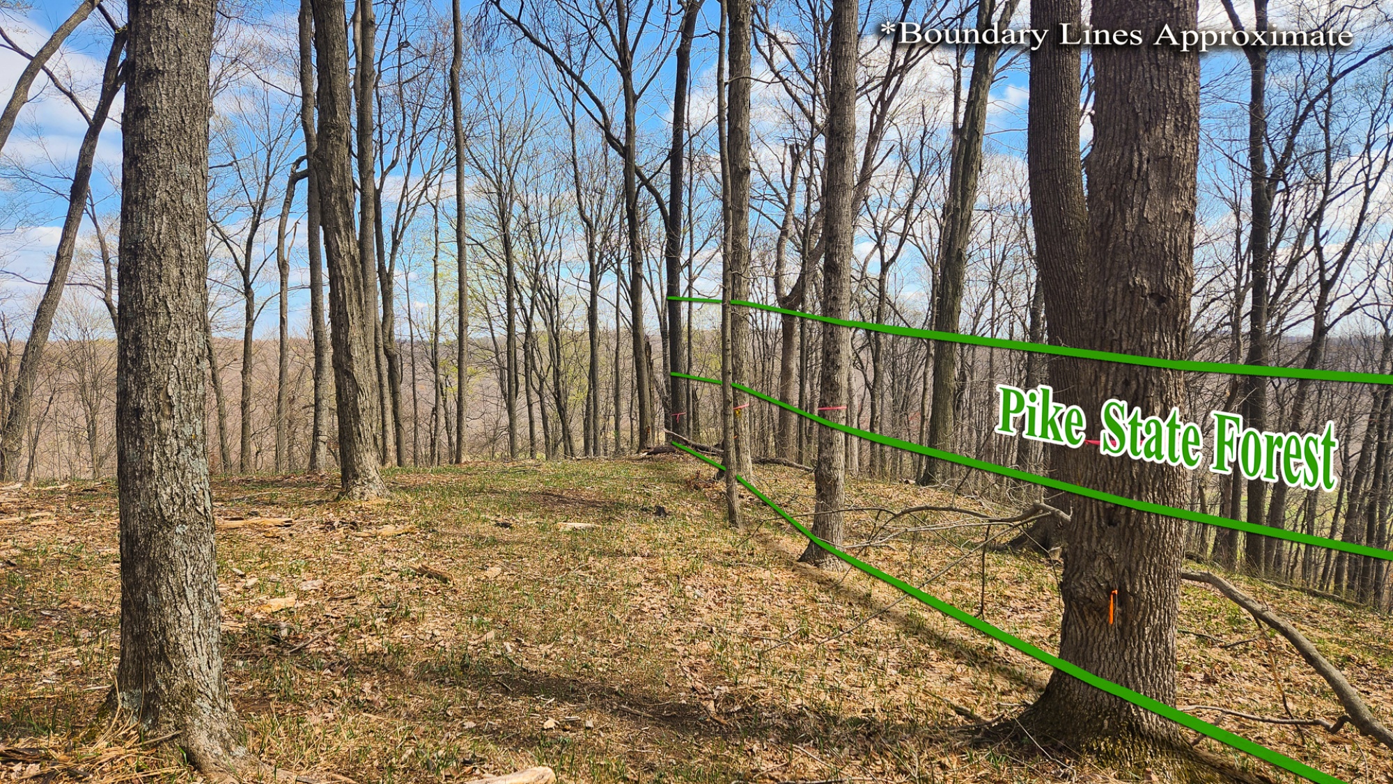
Adjacent to Pike State Forest
1600 ft from Bridal Trail Access, 33 Miles of Trails
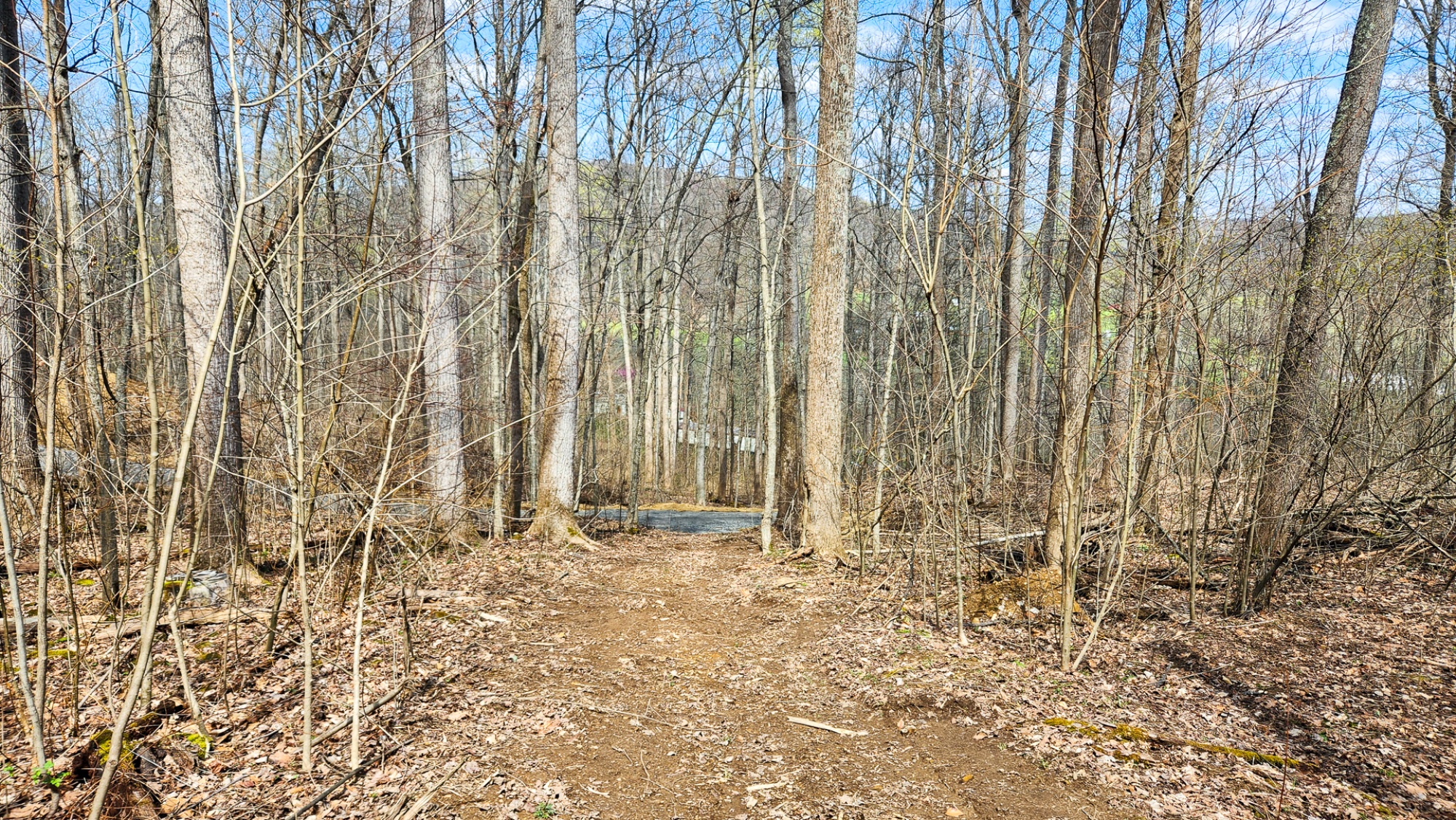
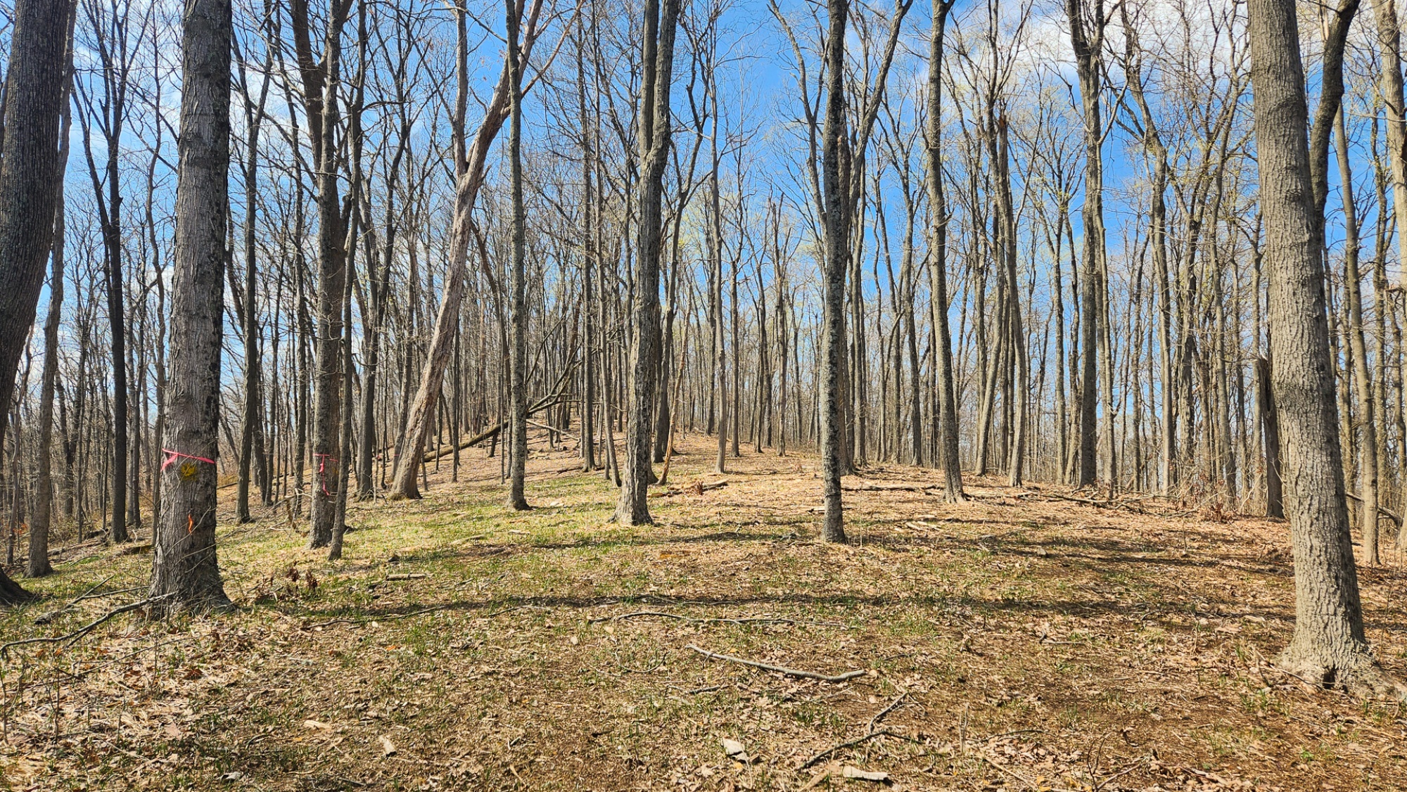
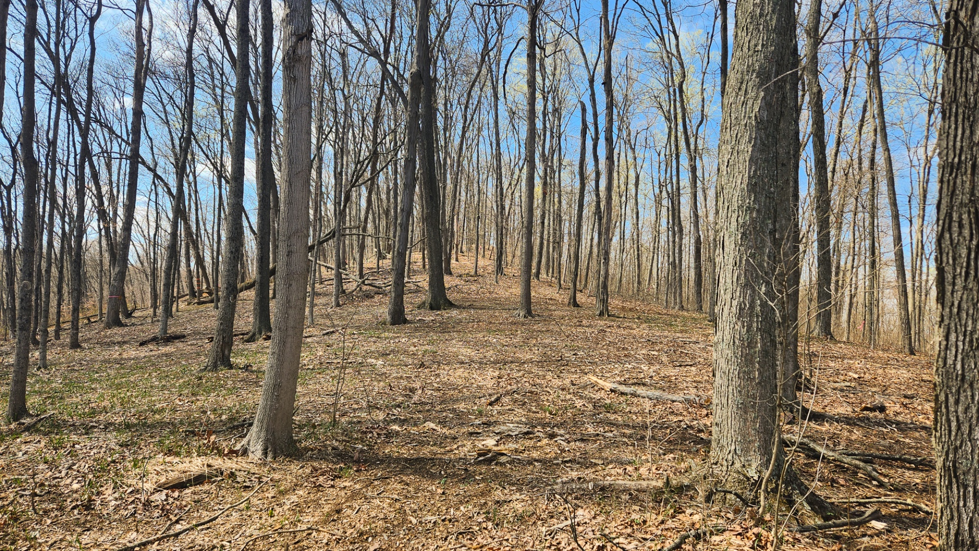
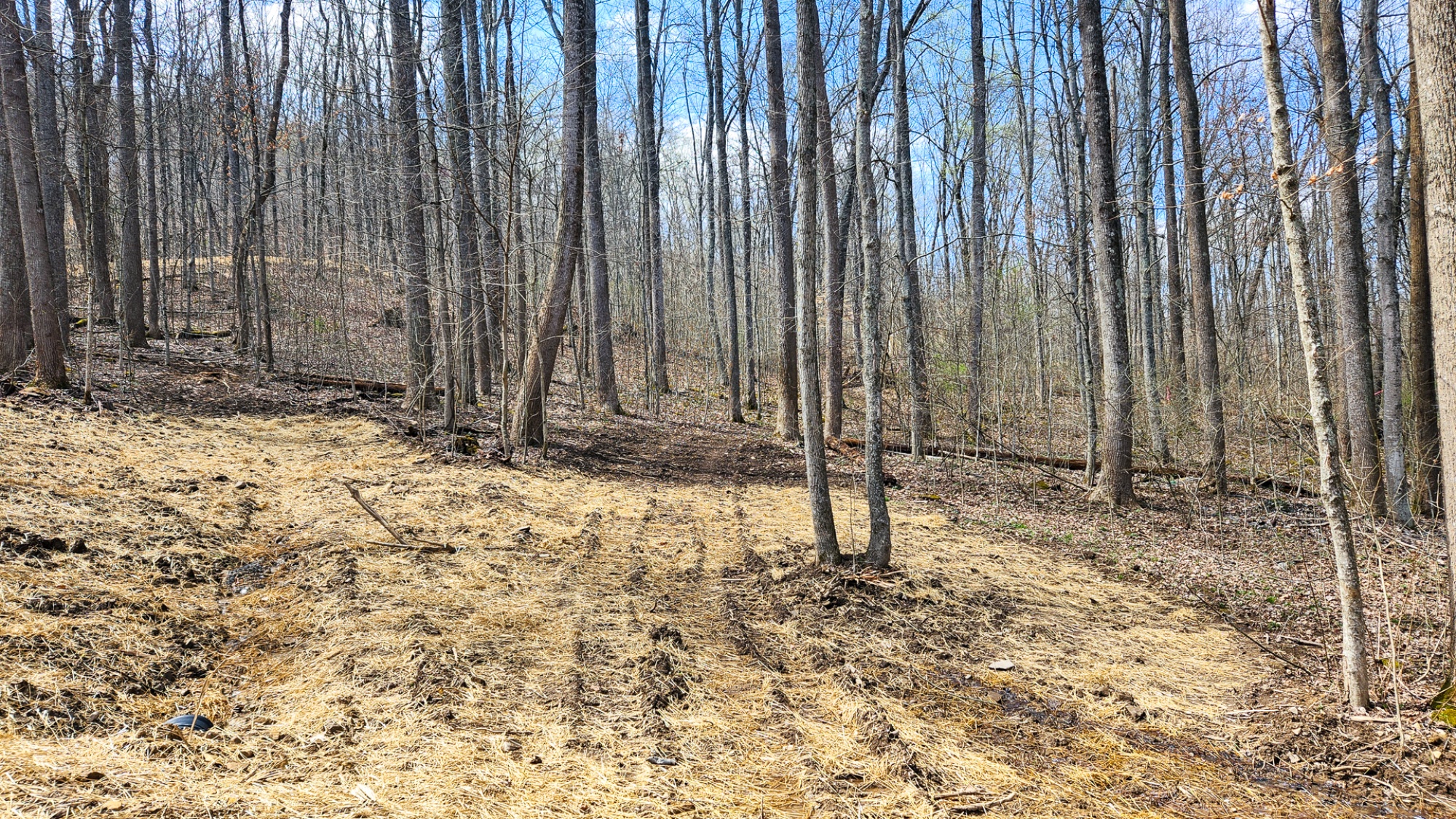
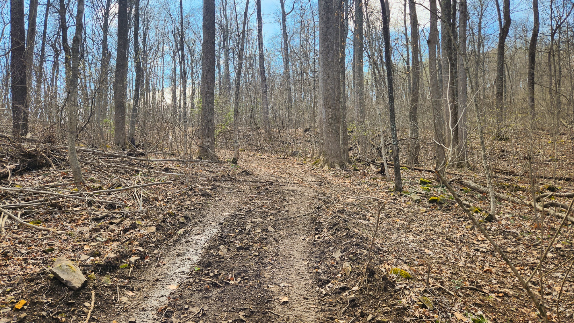
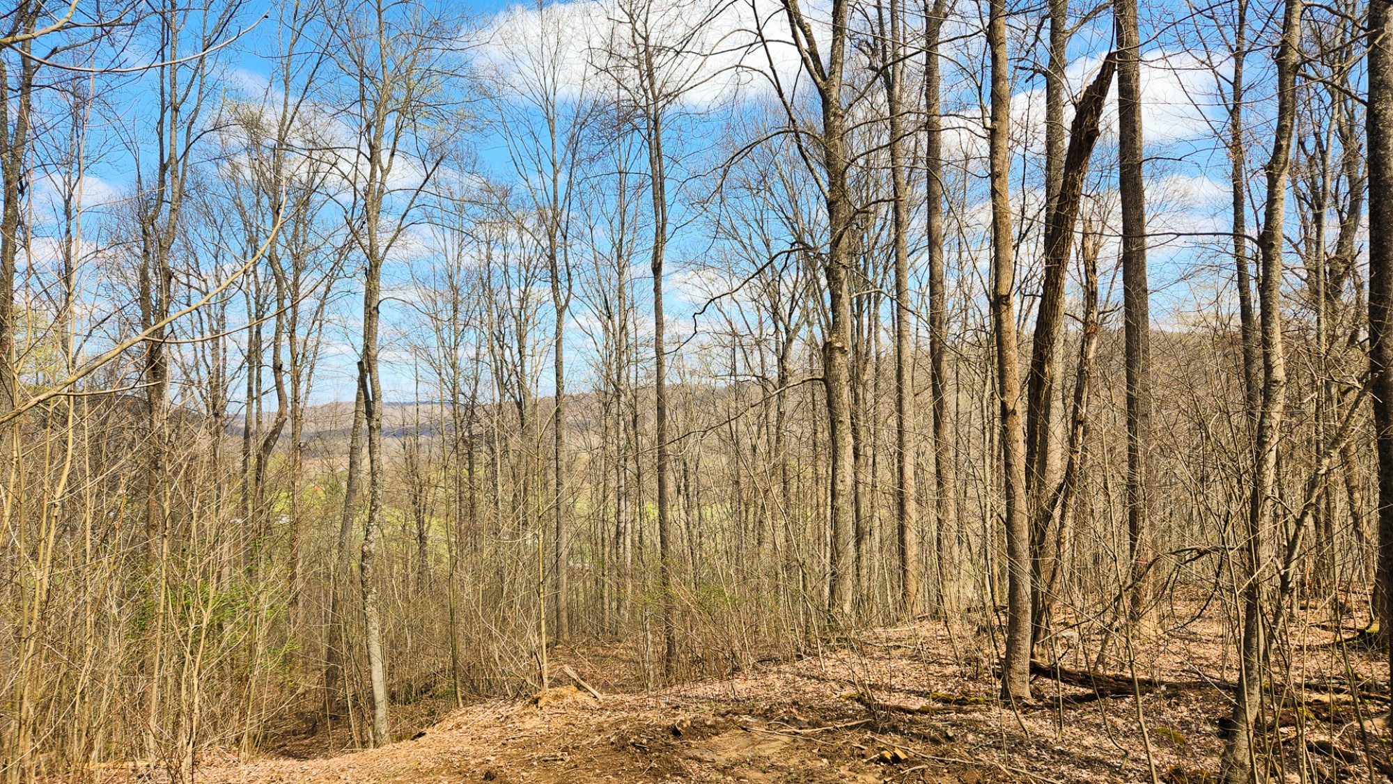
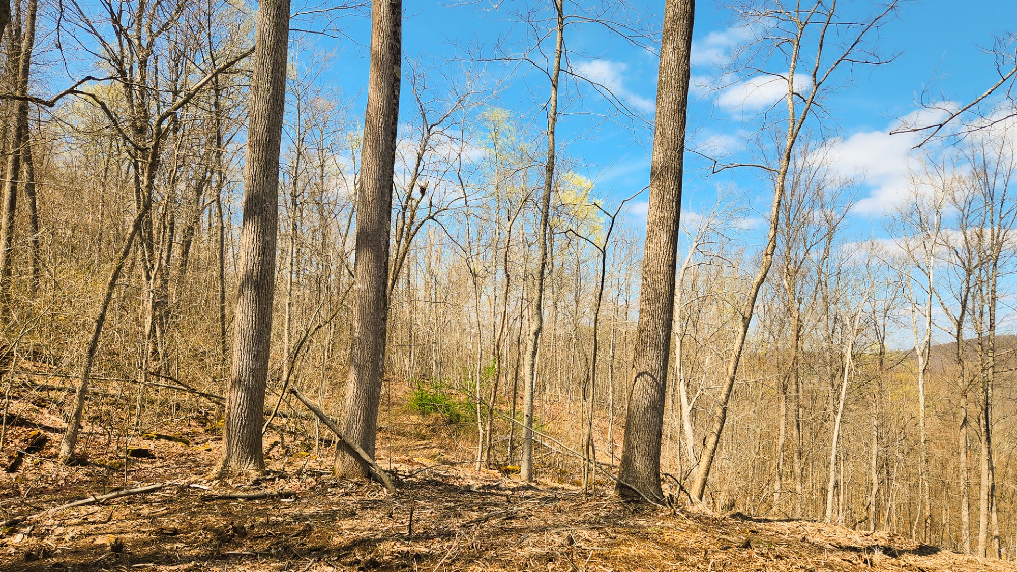
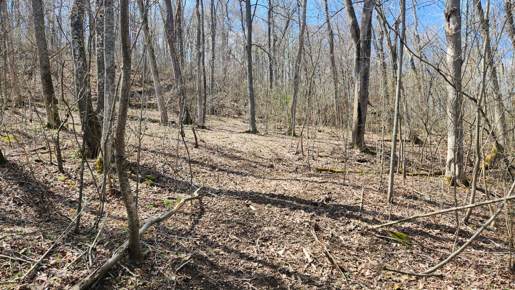
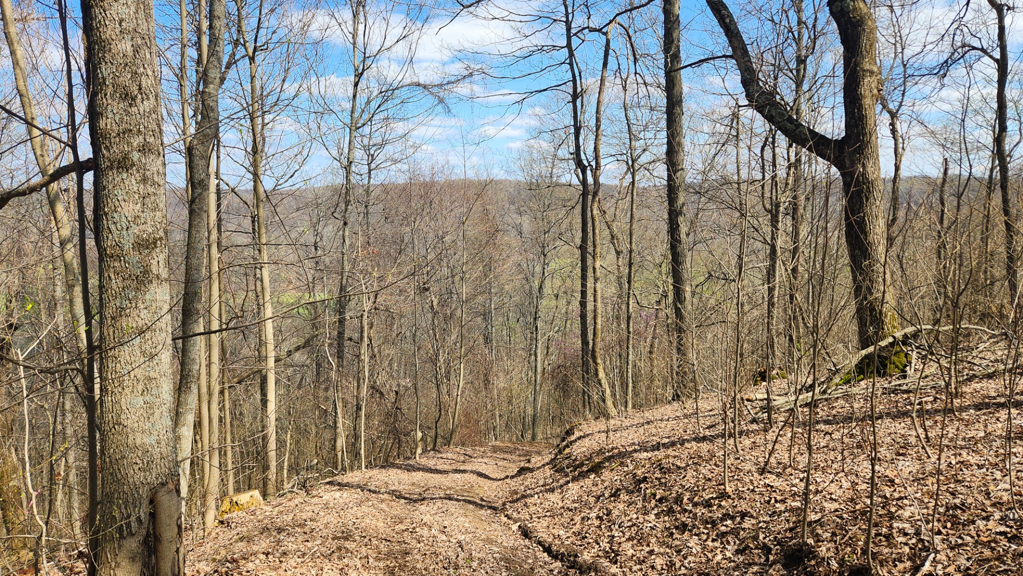
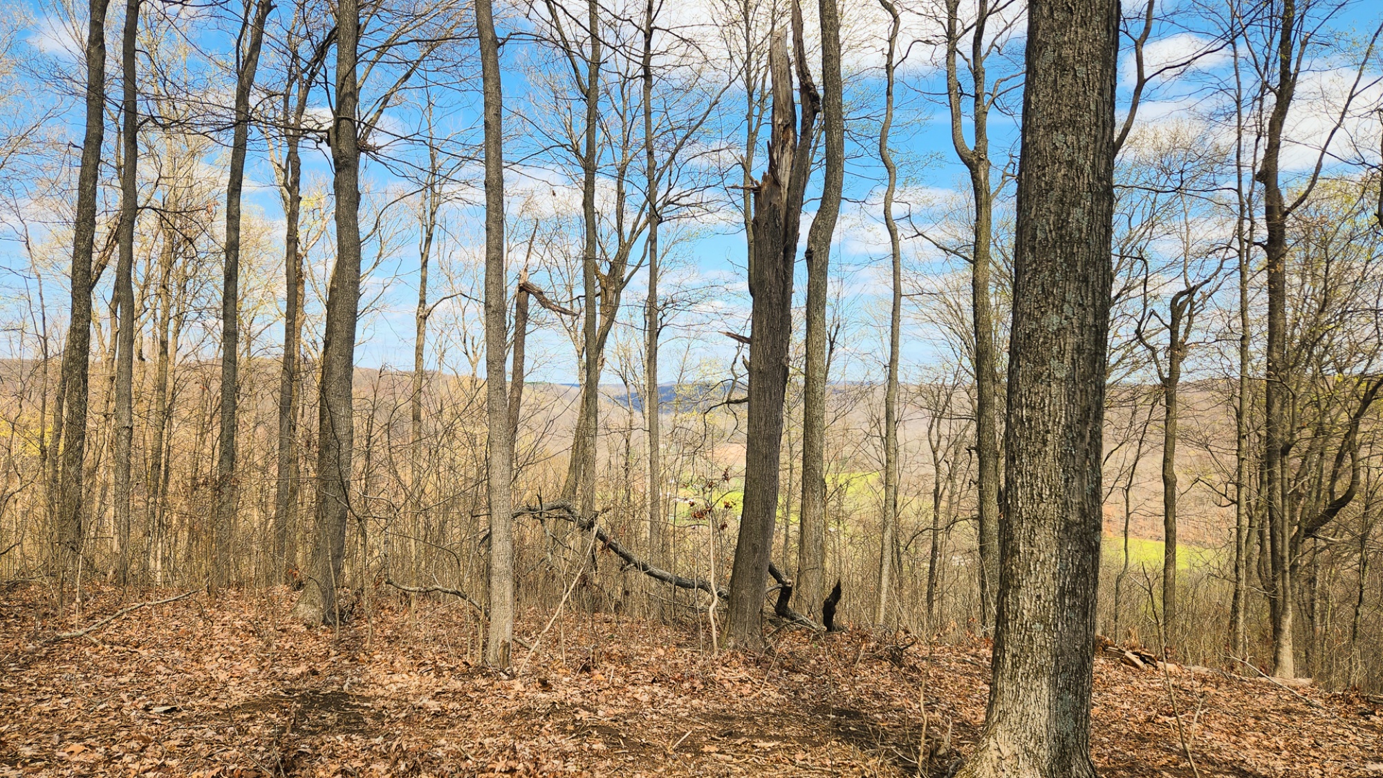
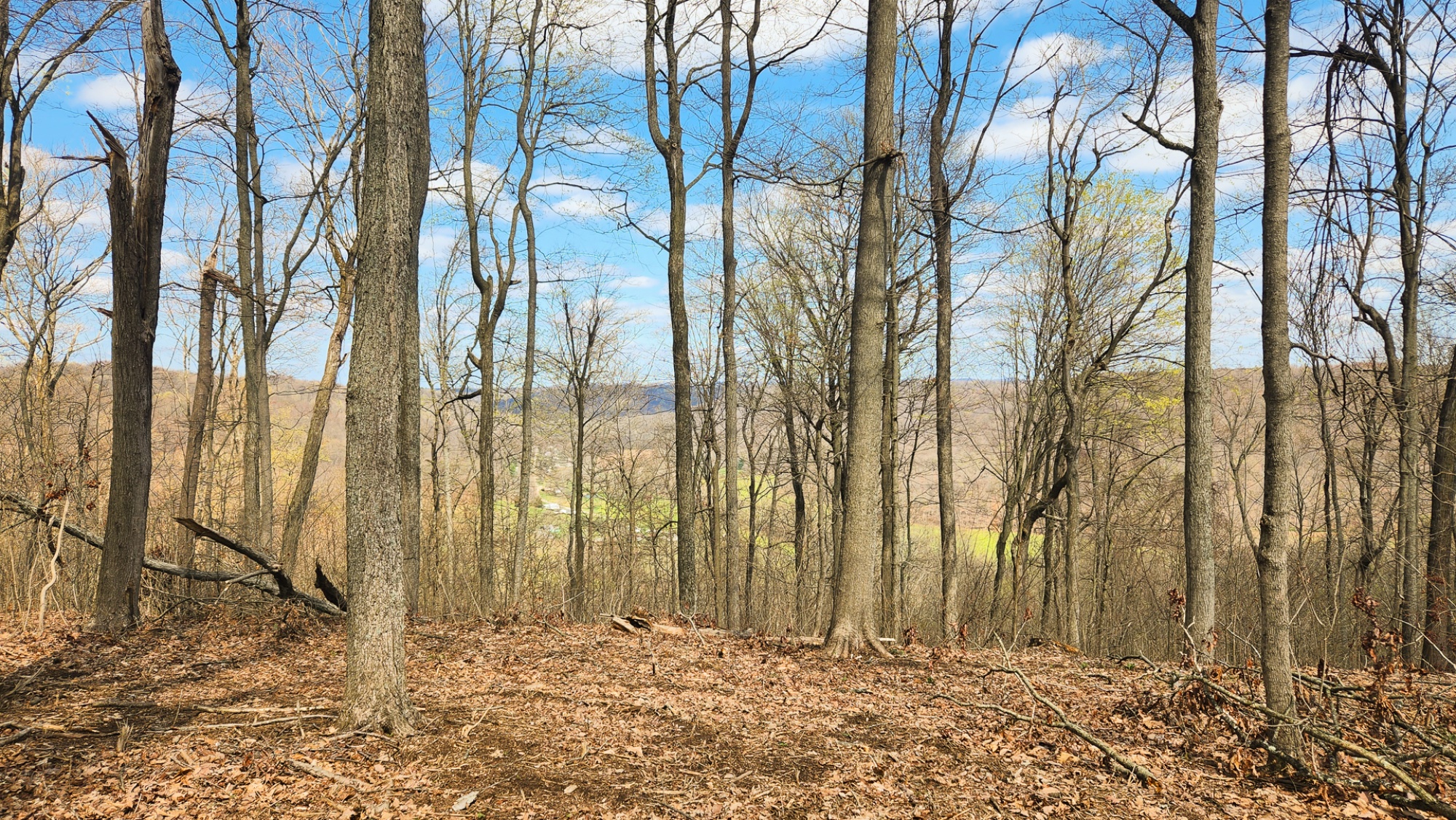
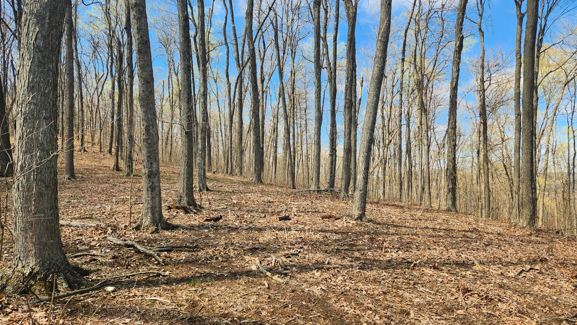
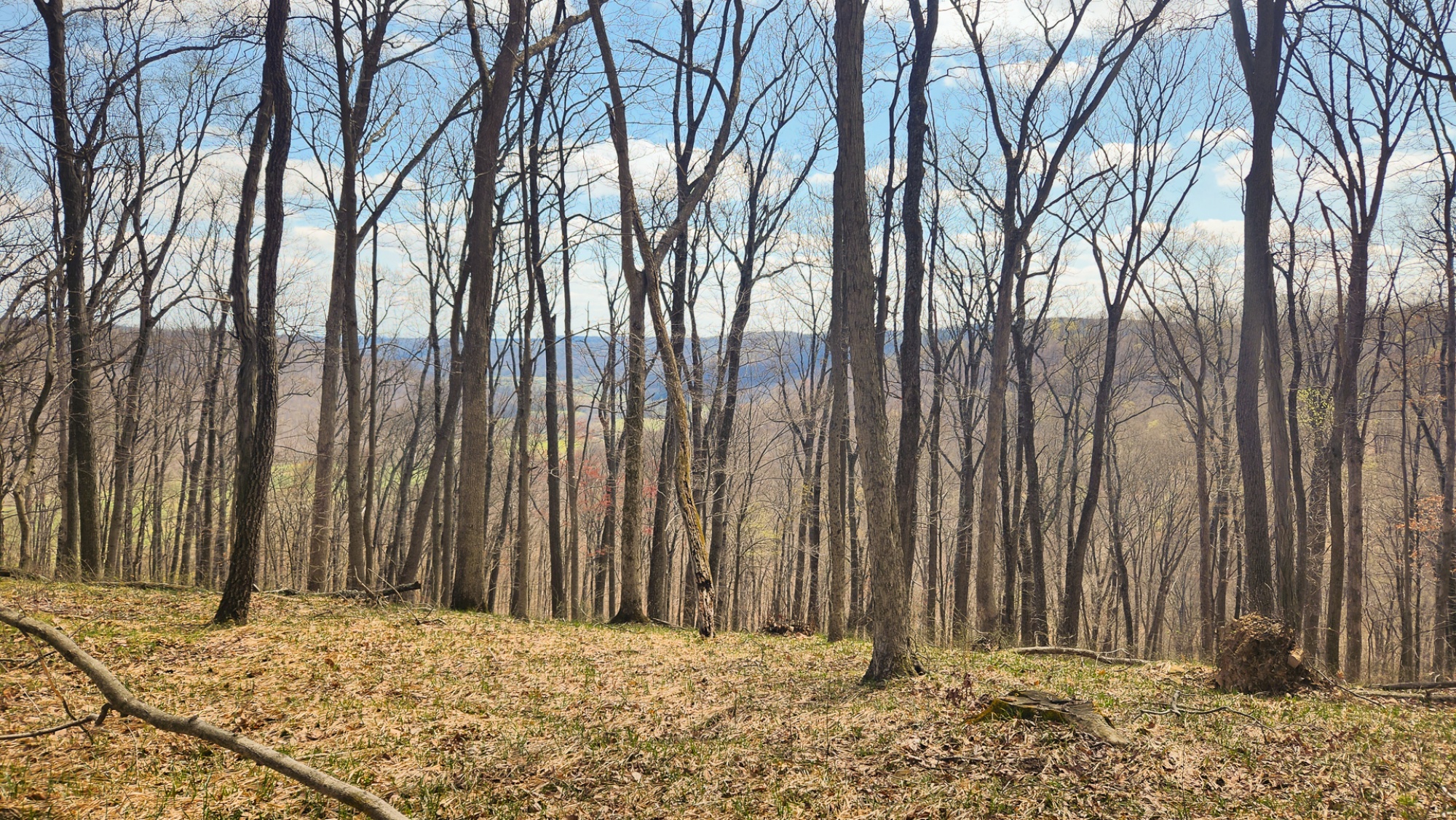
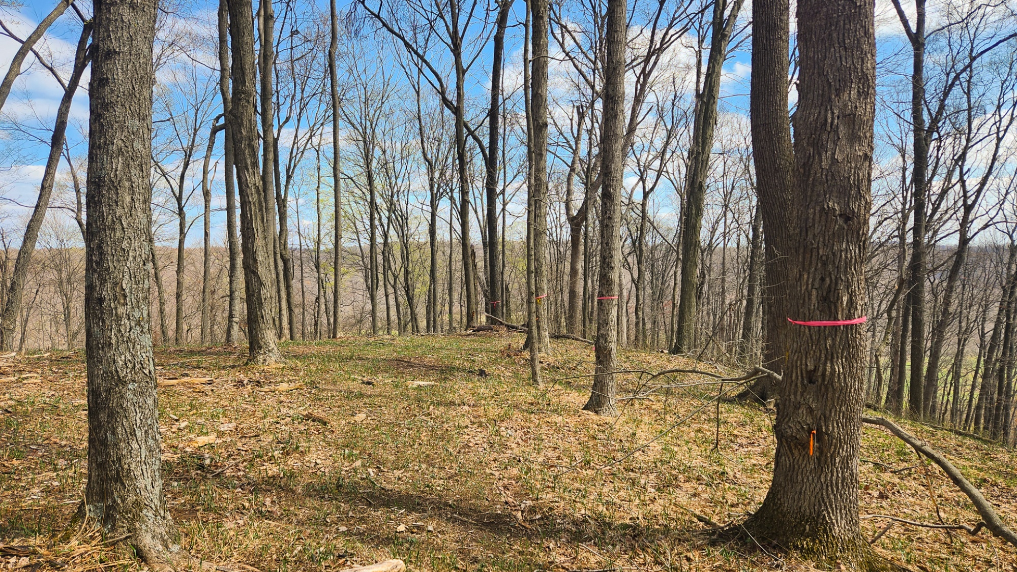
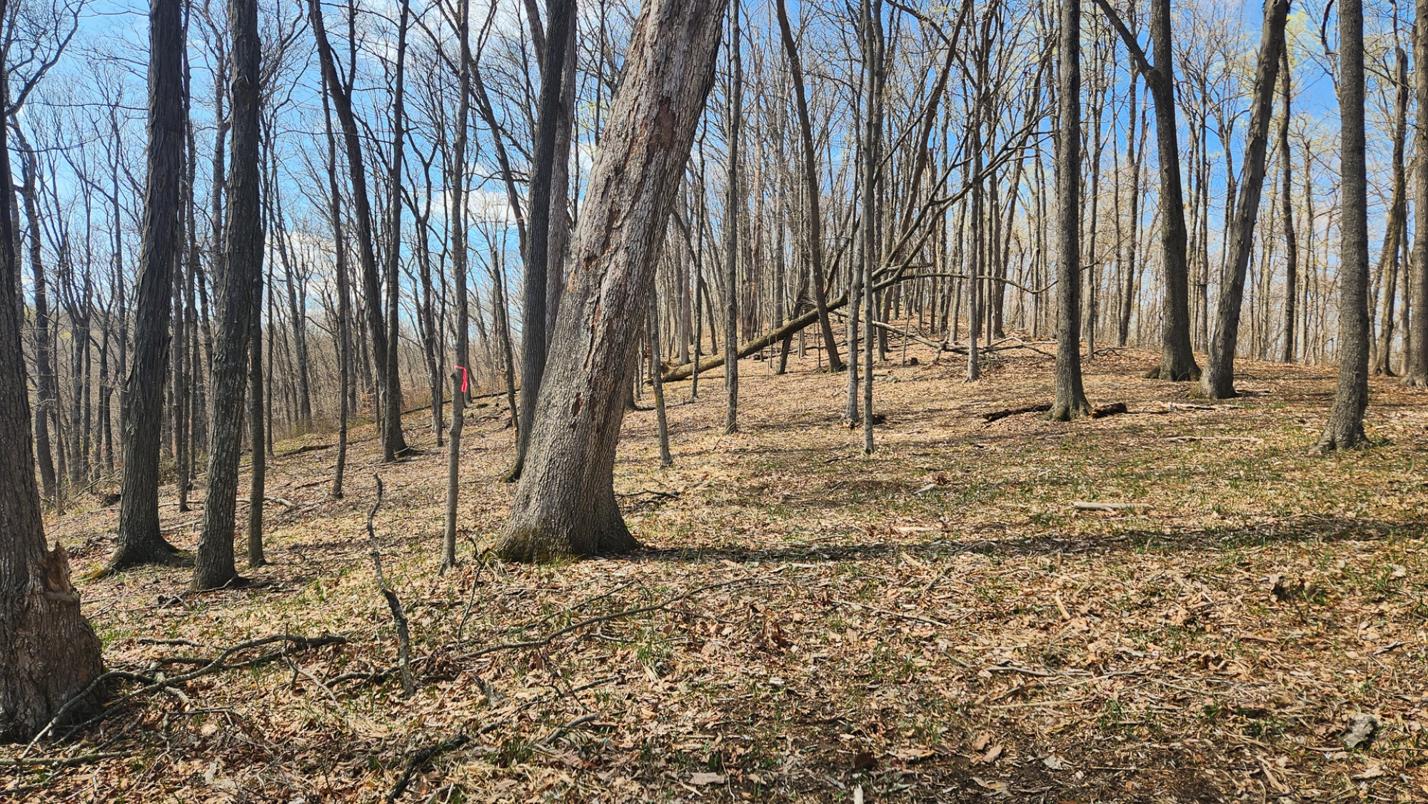
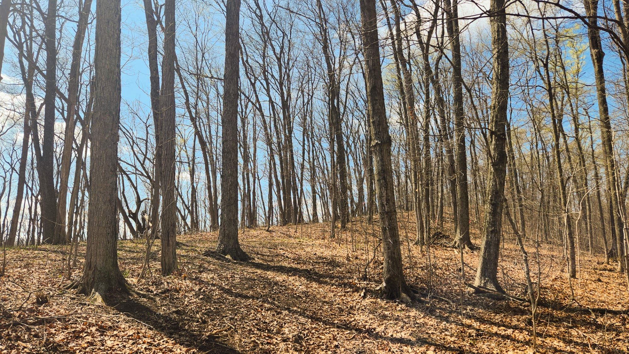
Beautiful Open-Canopy Woods, Some Marketable Timber
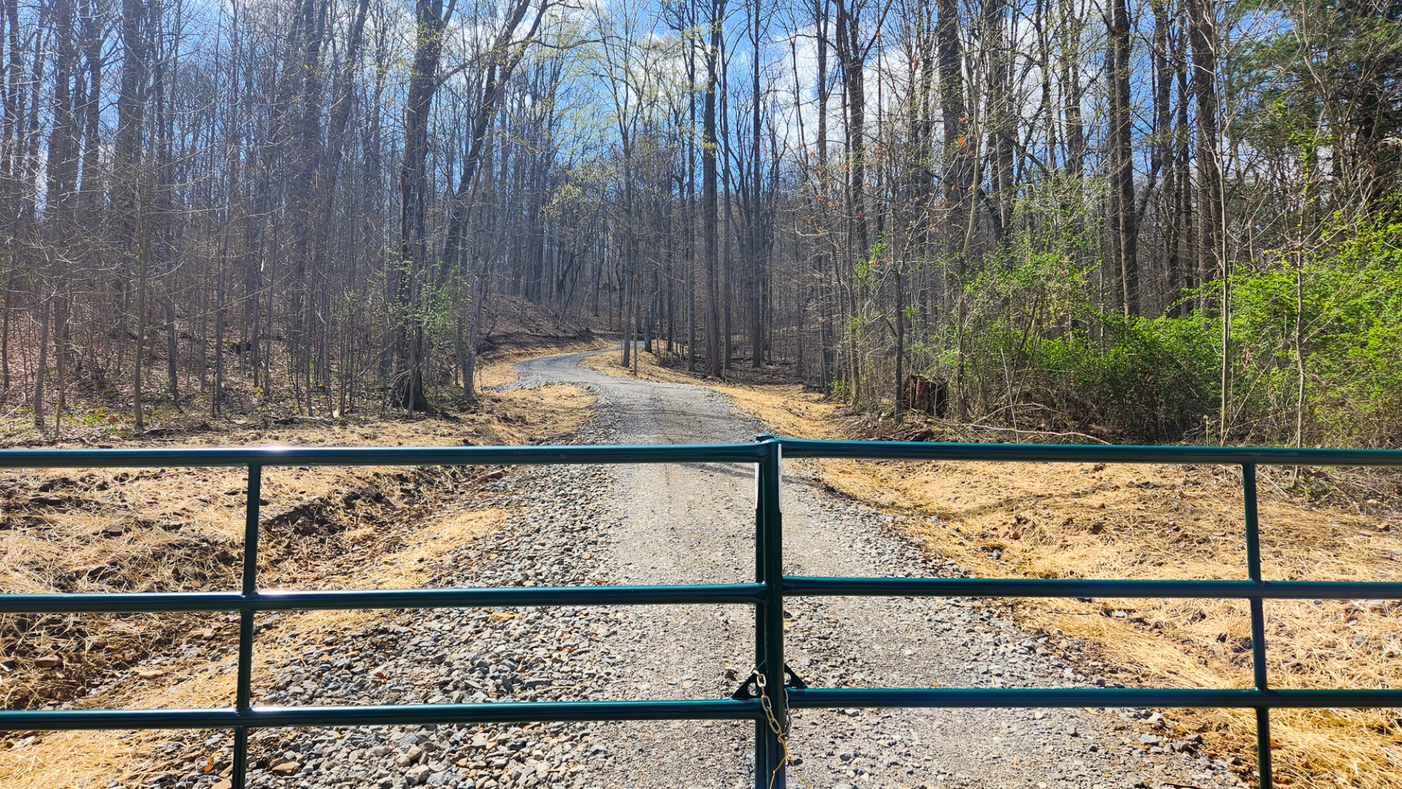
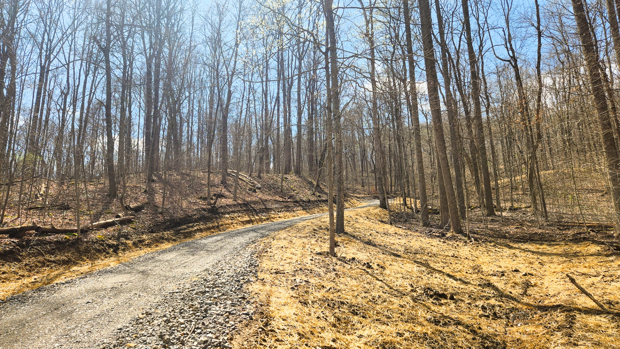
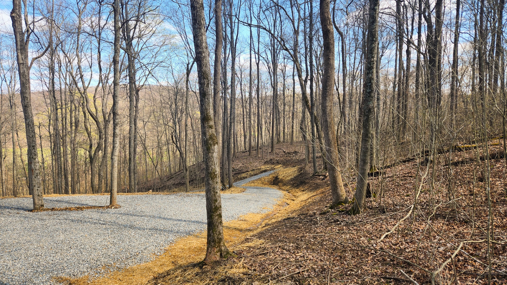
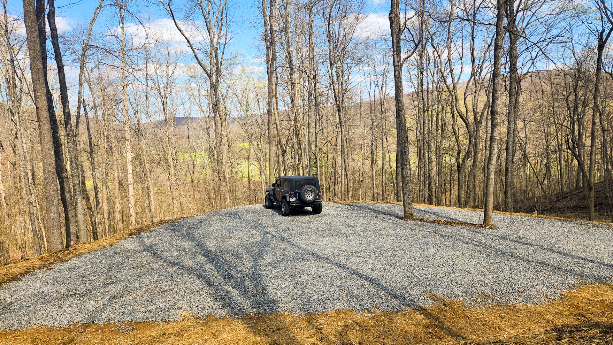
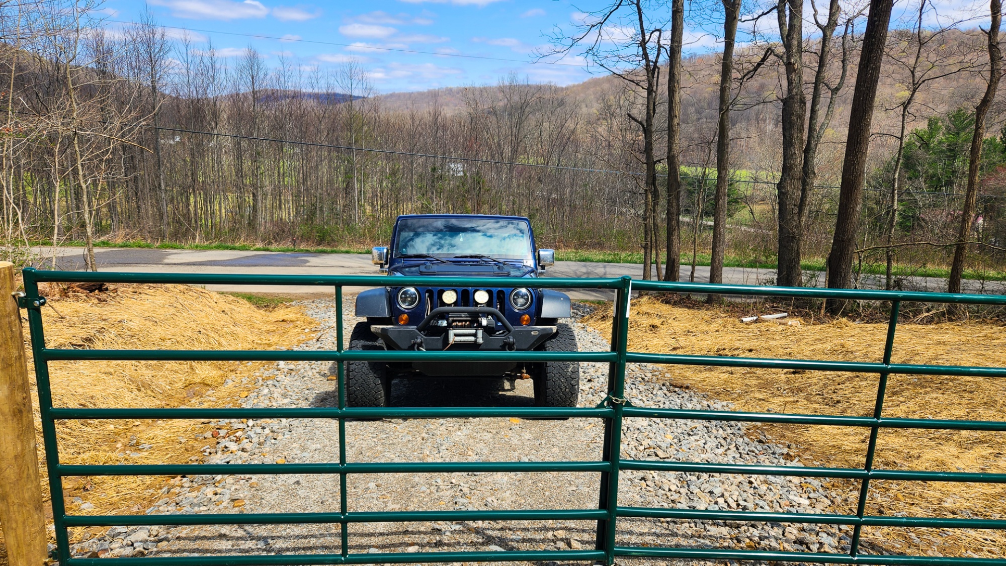
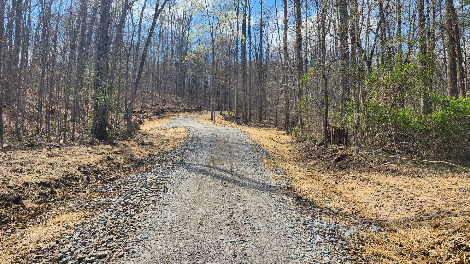
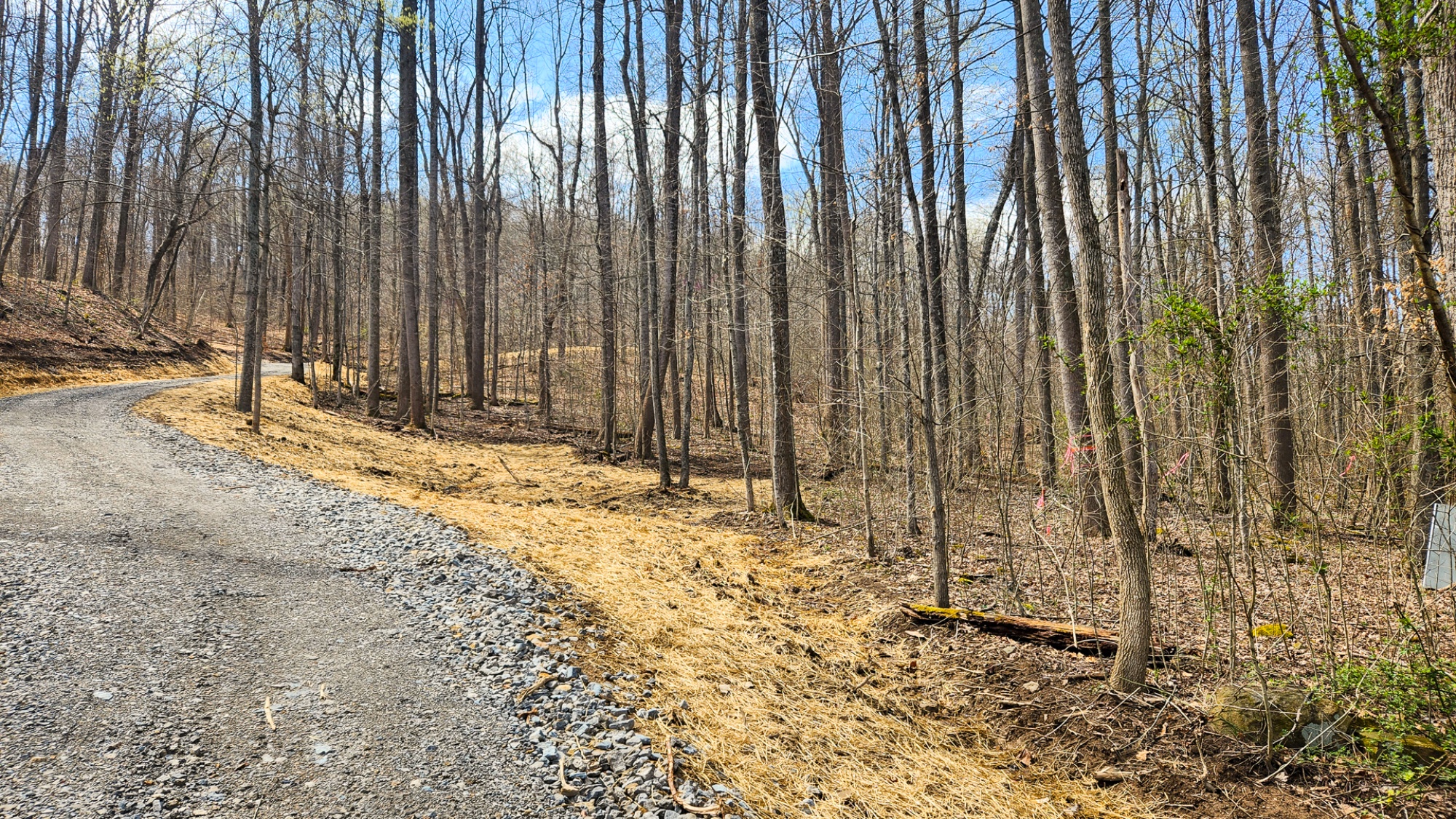
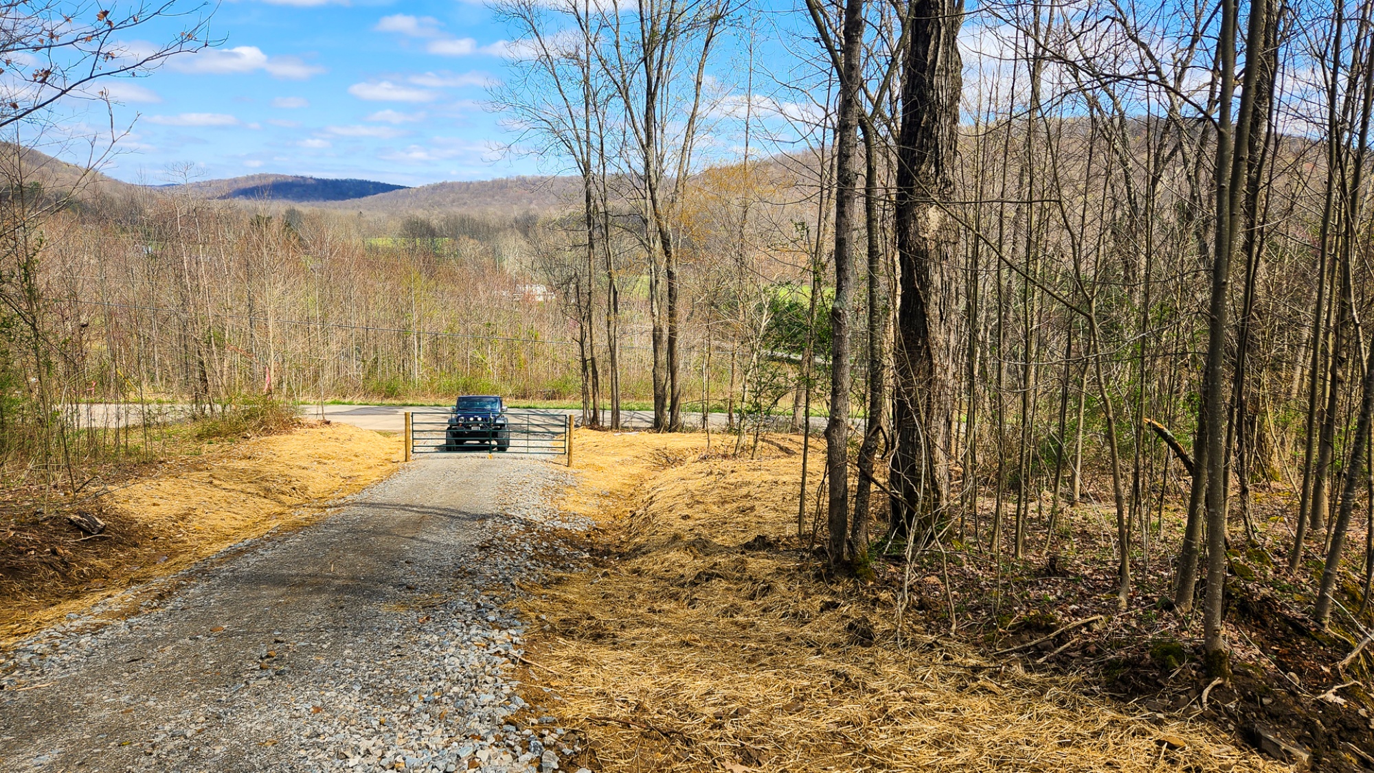
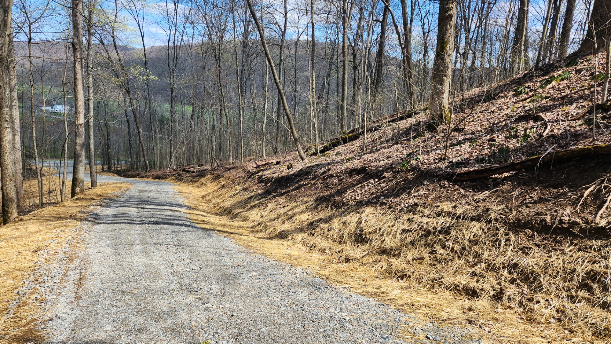
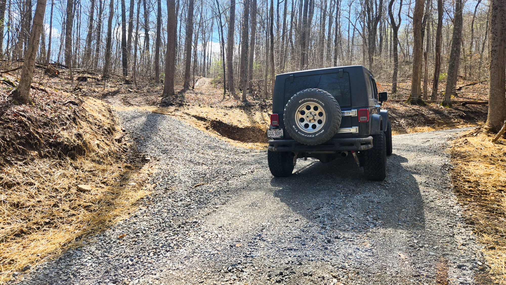
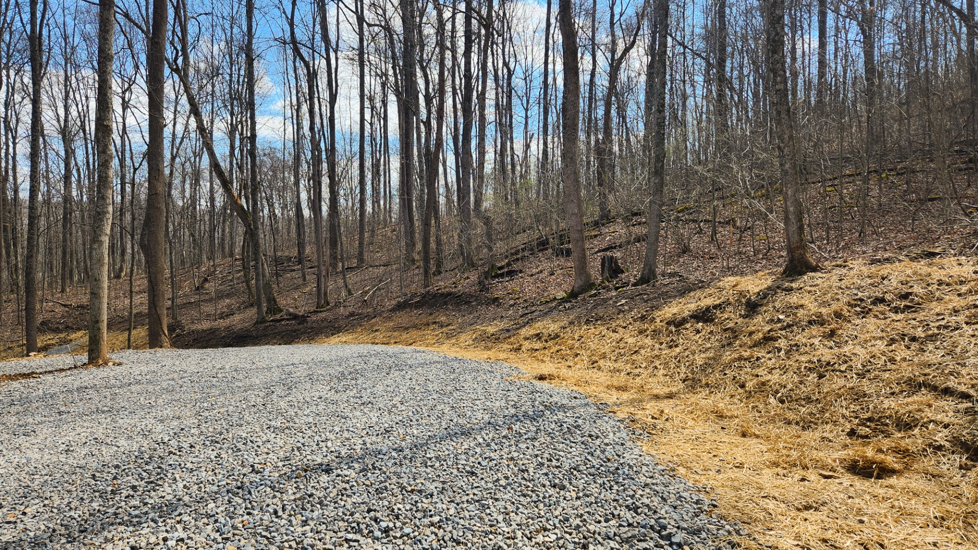
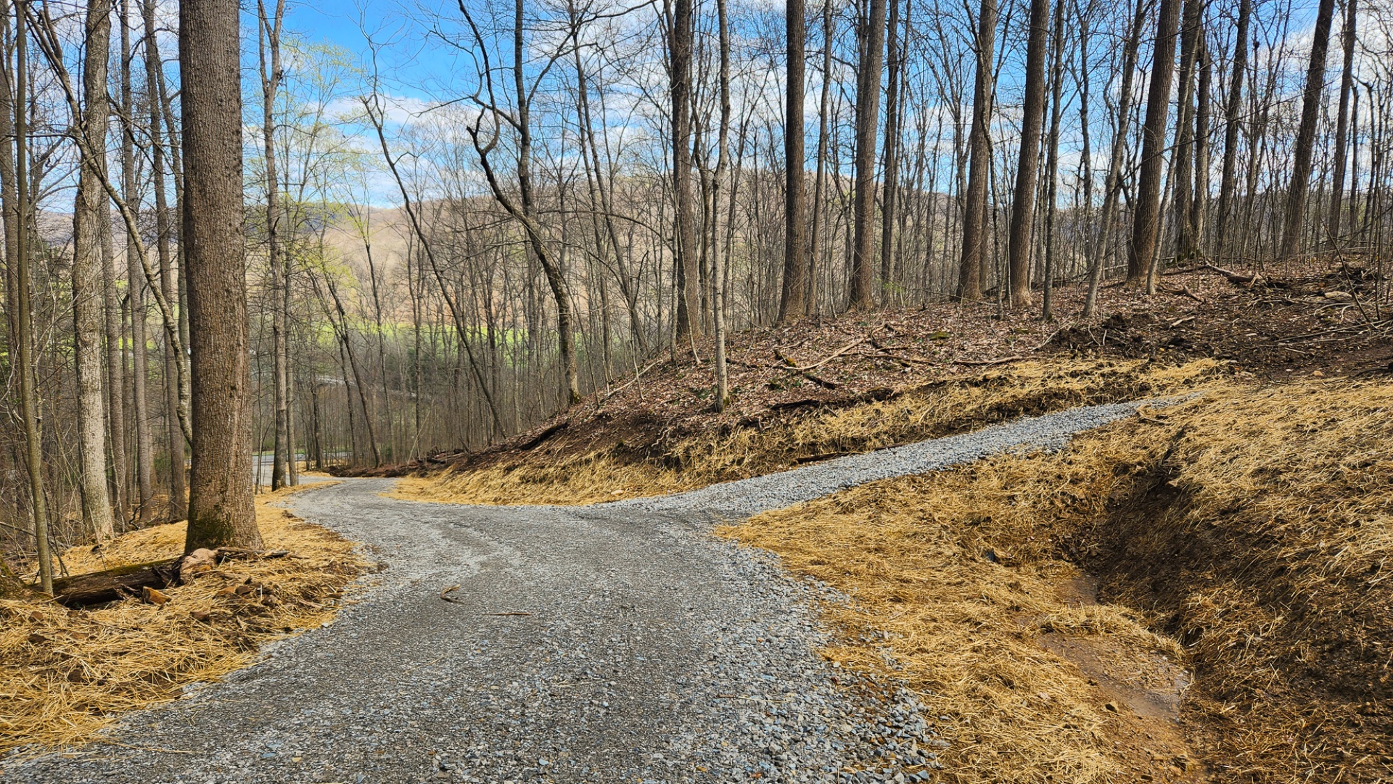
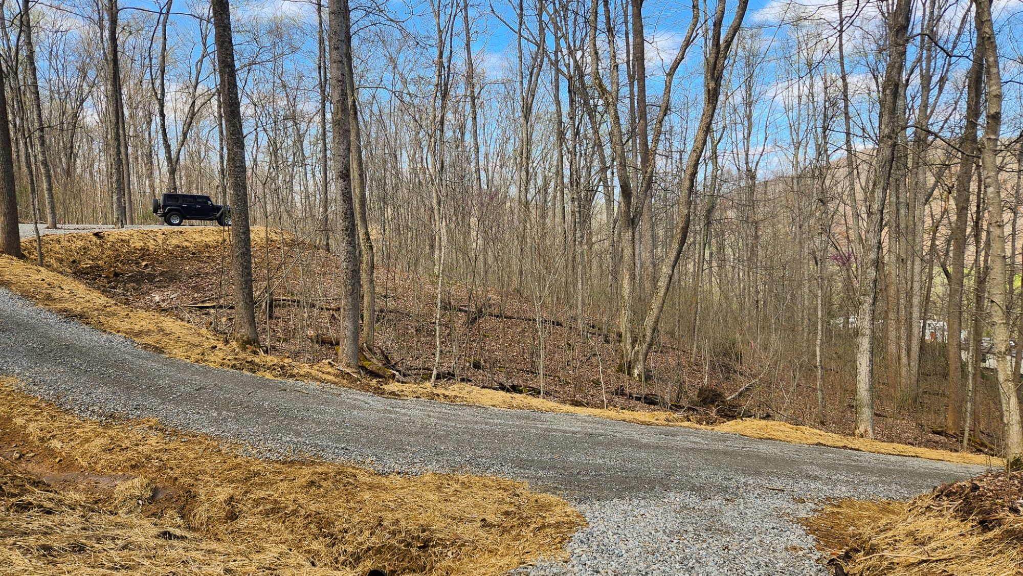
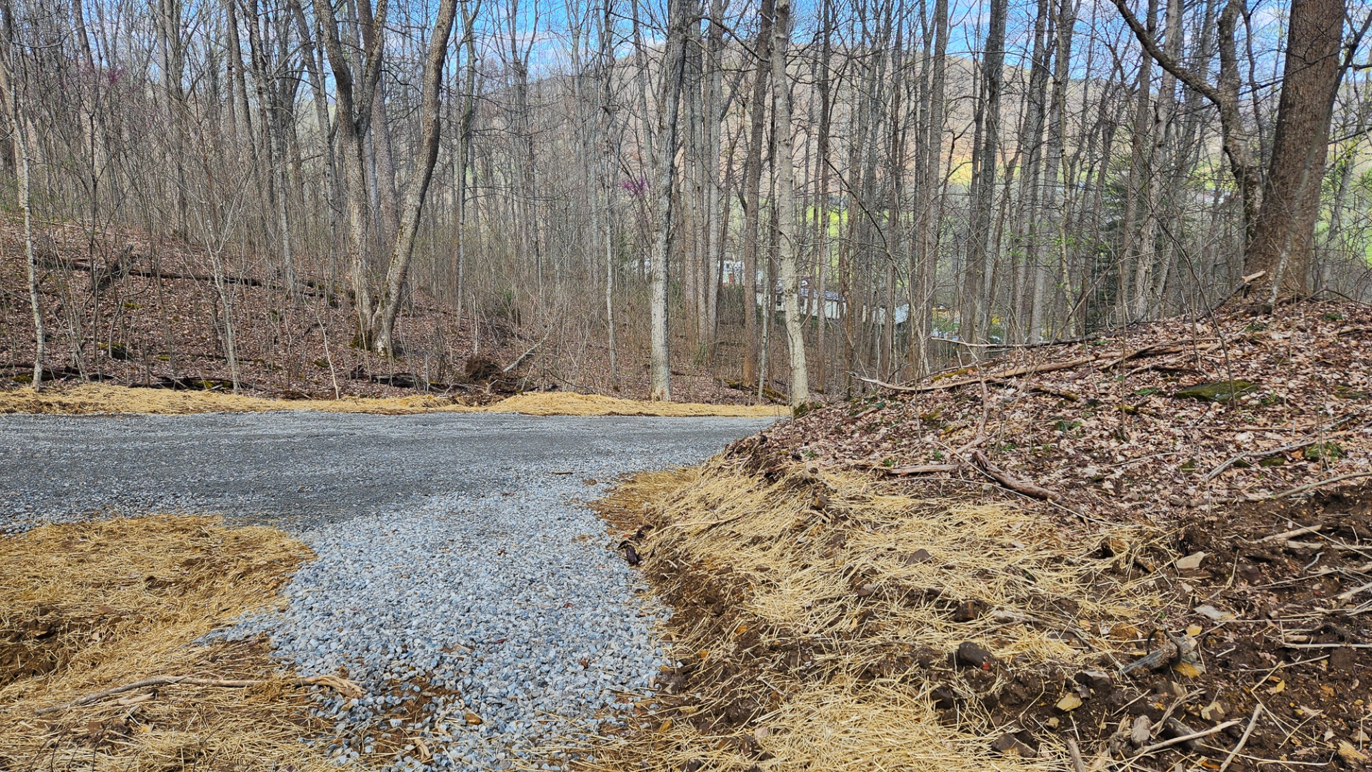
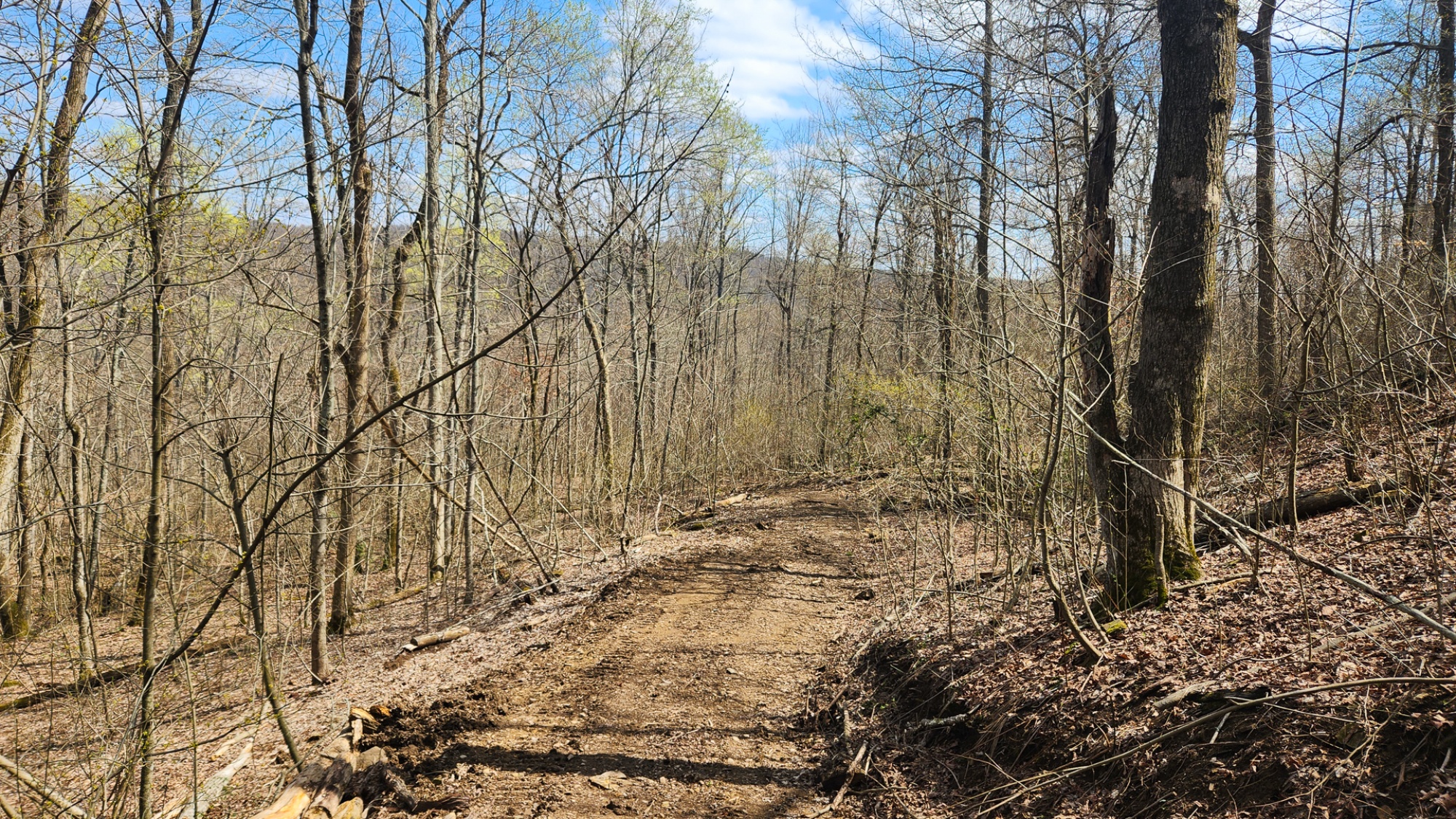
Winding Gated Gravel Drive up to Private Destination Site
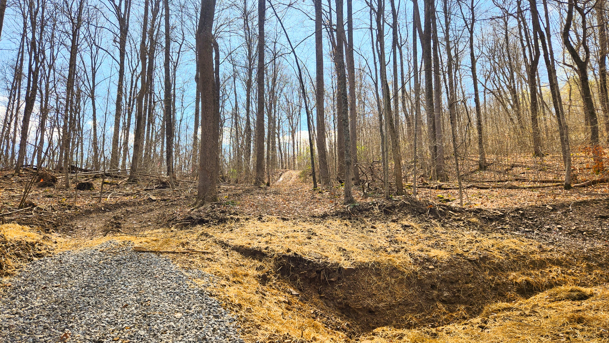
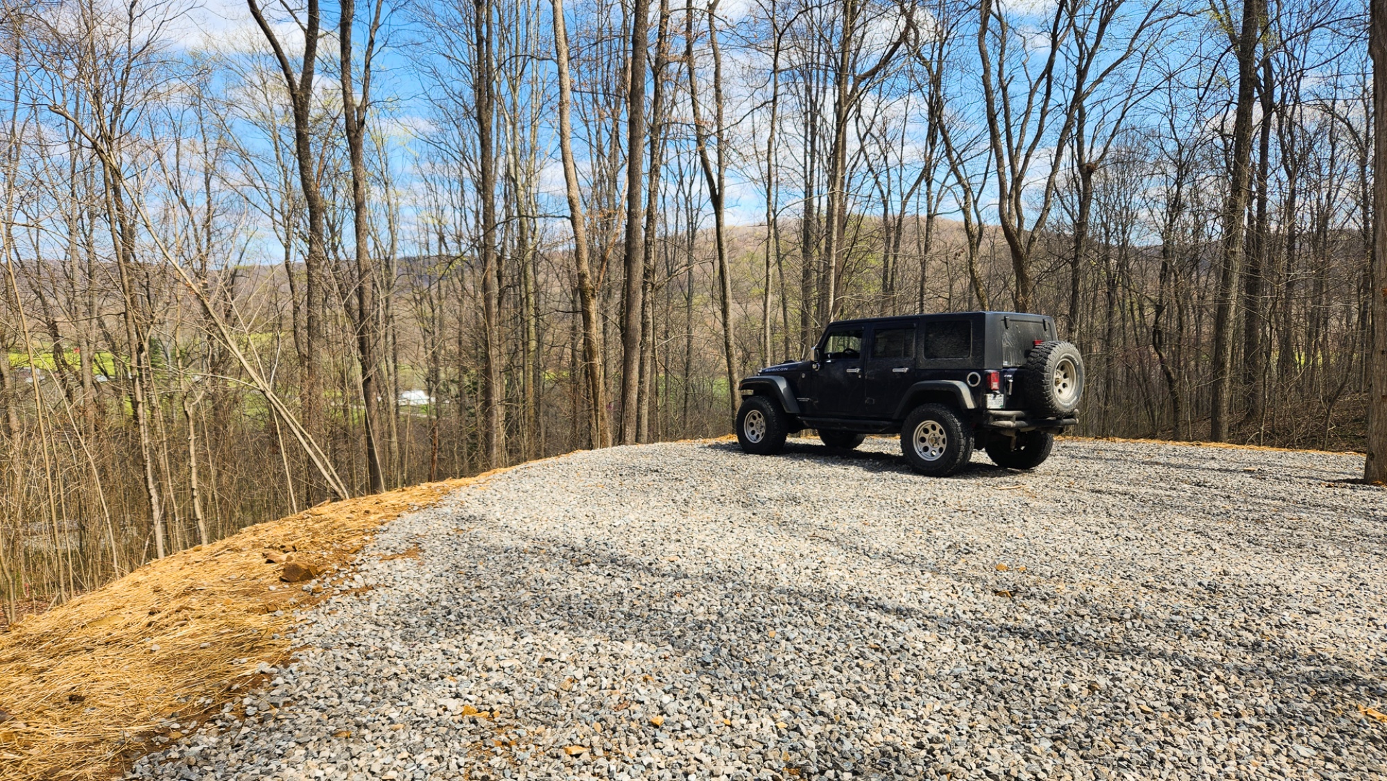
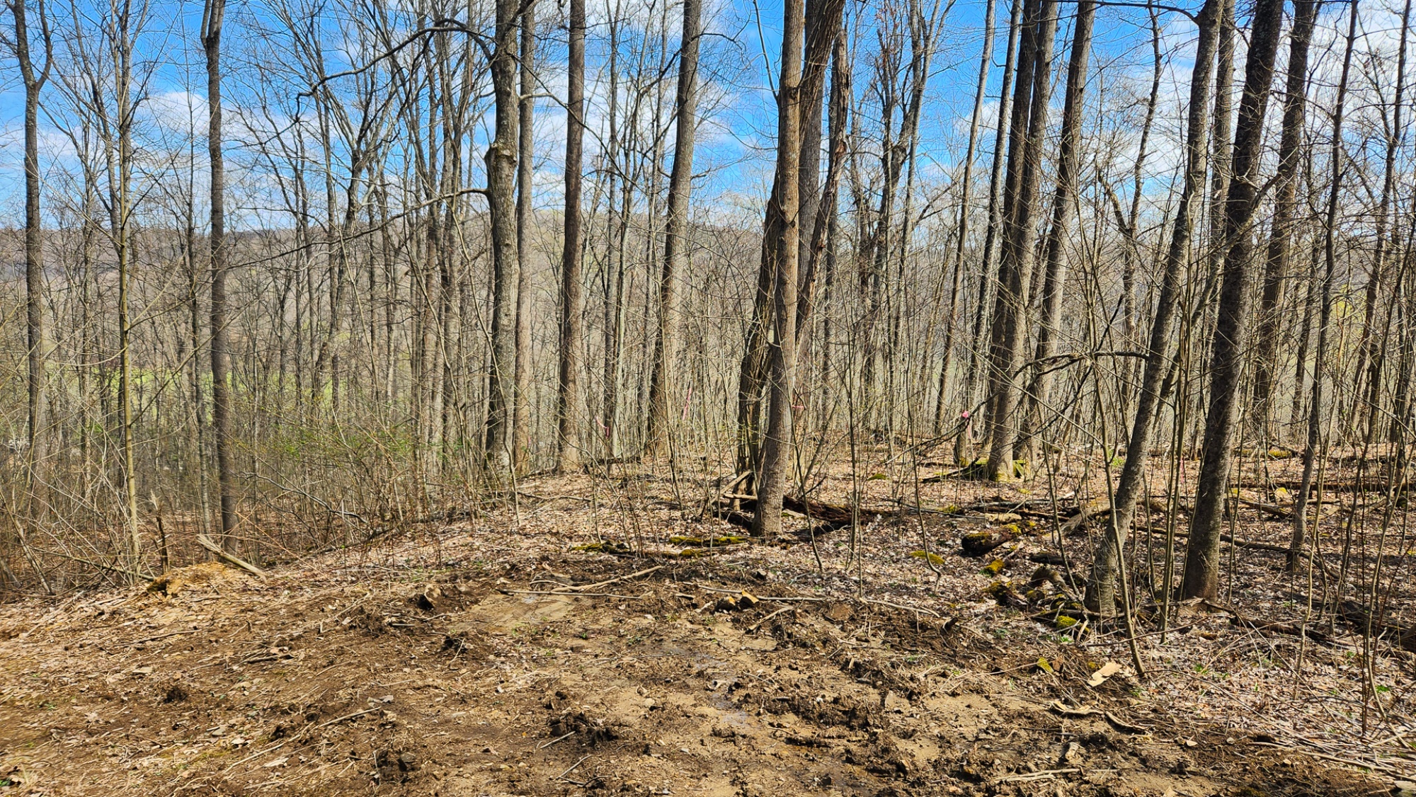
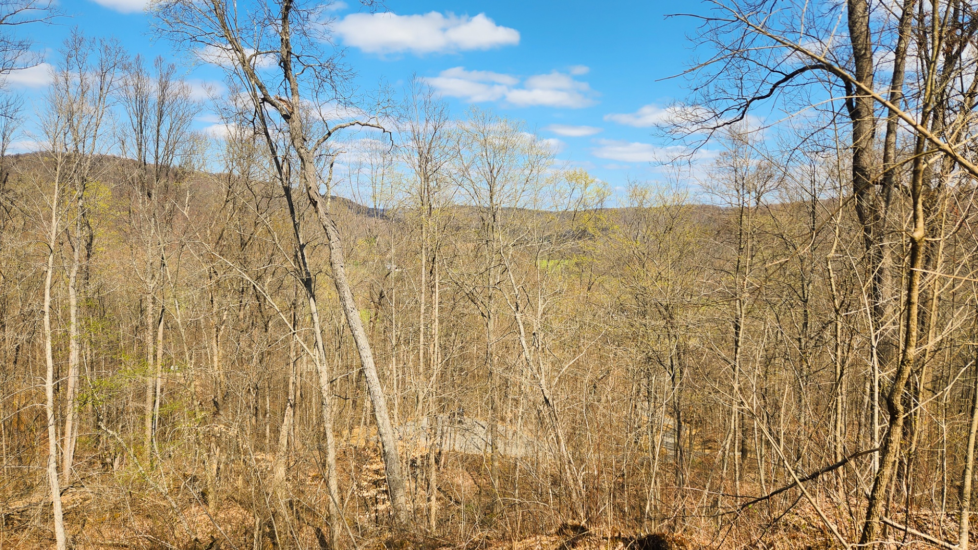
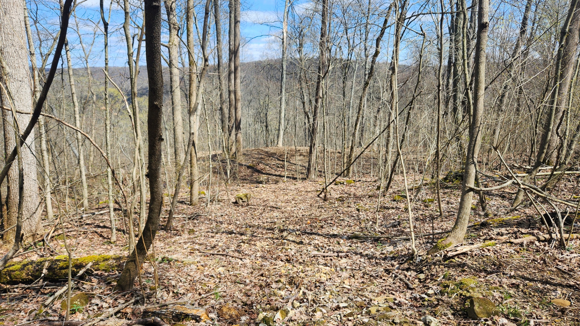
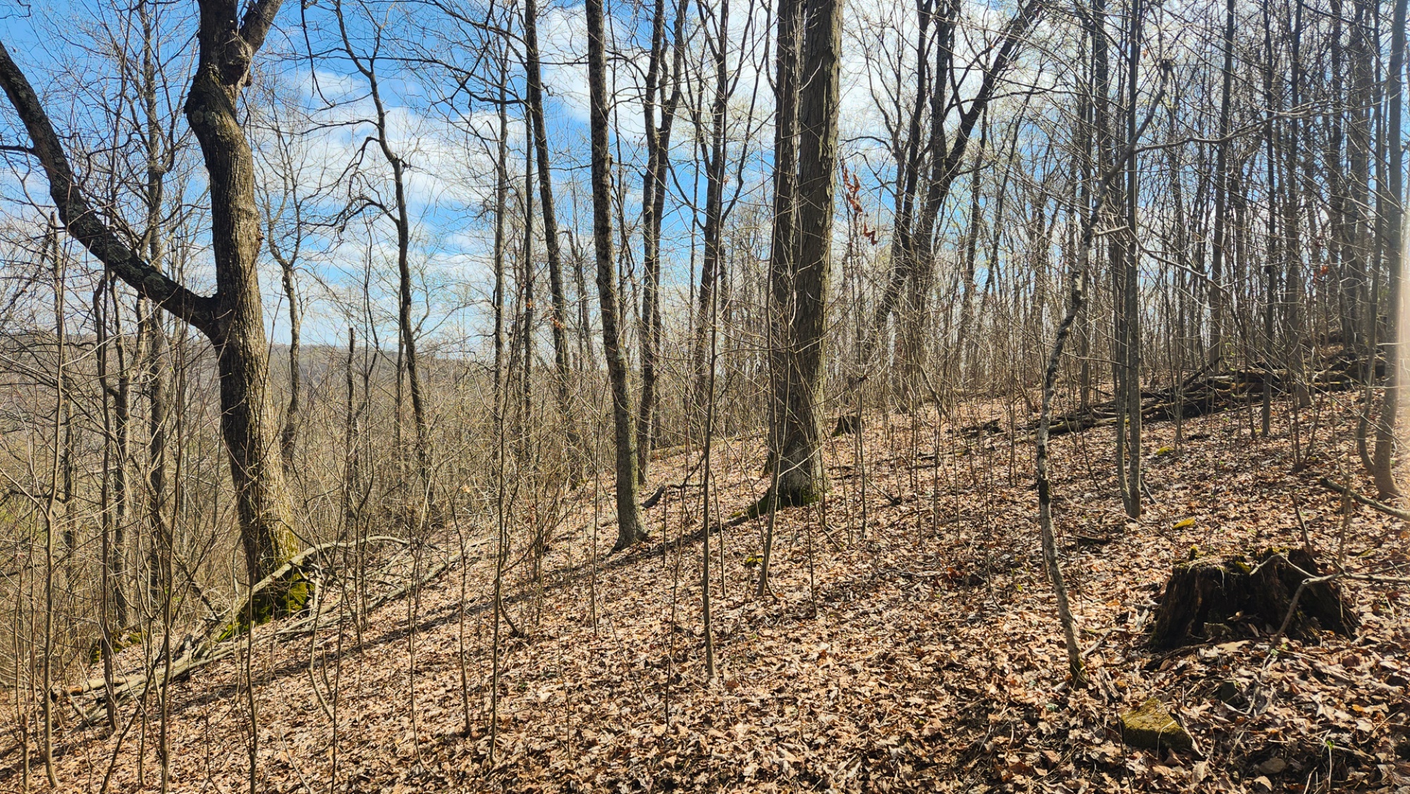
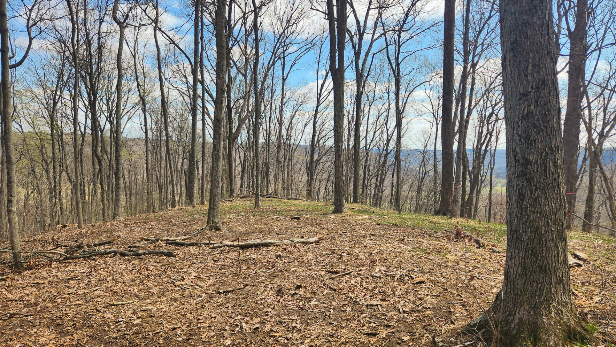
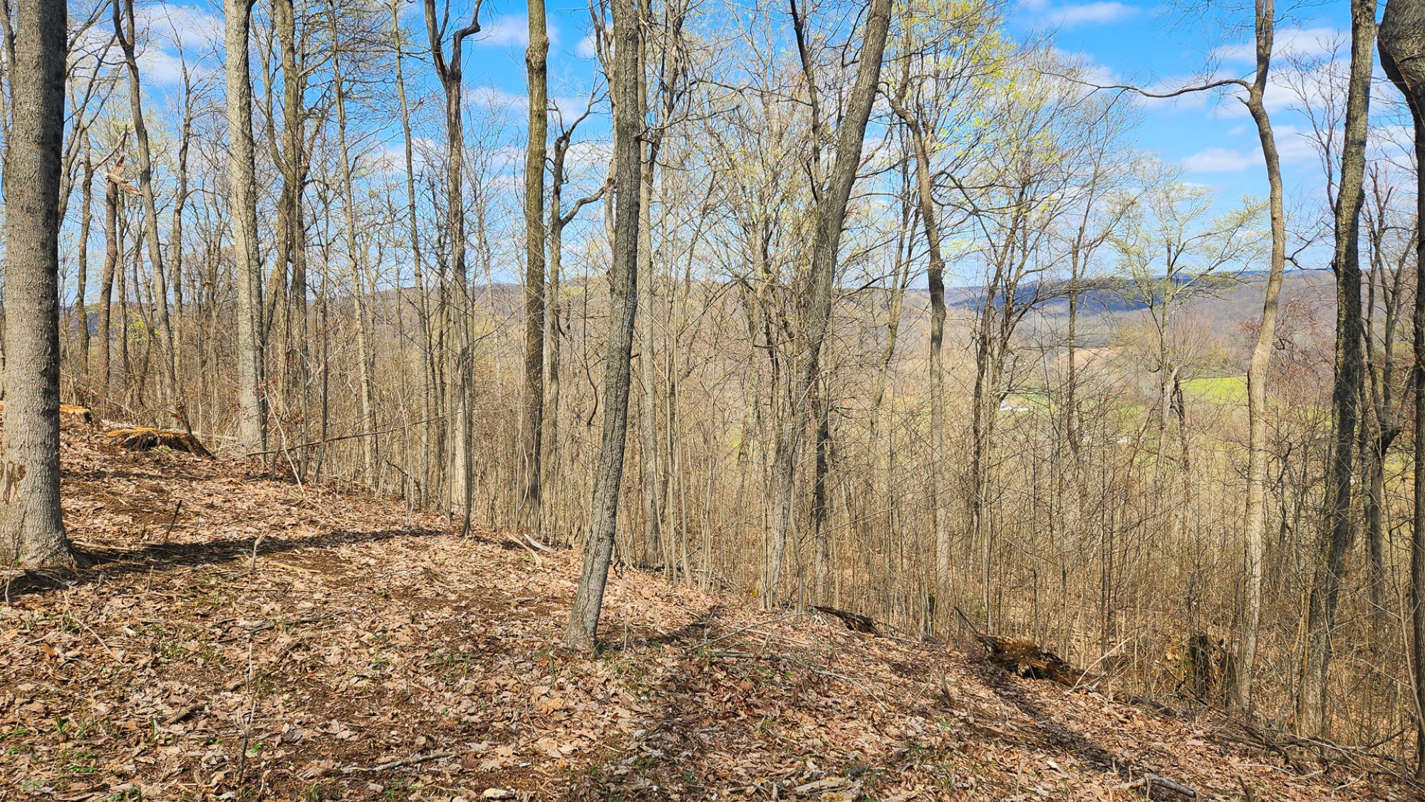
Property Leads Up to Beautiful Ridge Top with Spectacular Woods and Stunning Views
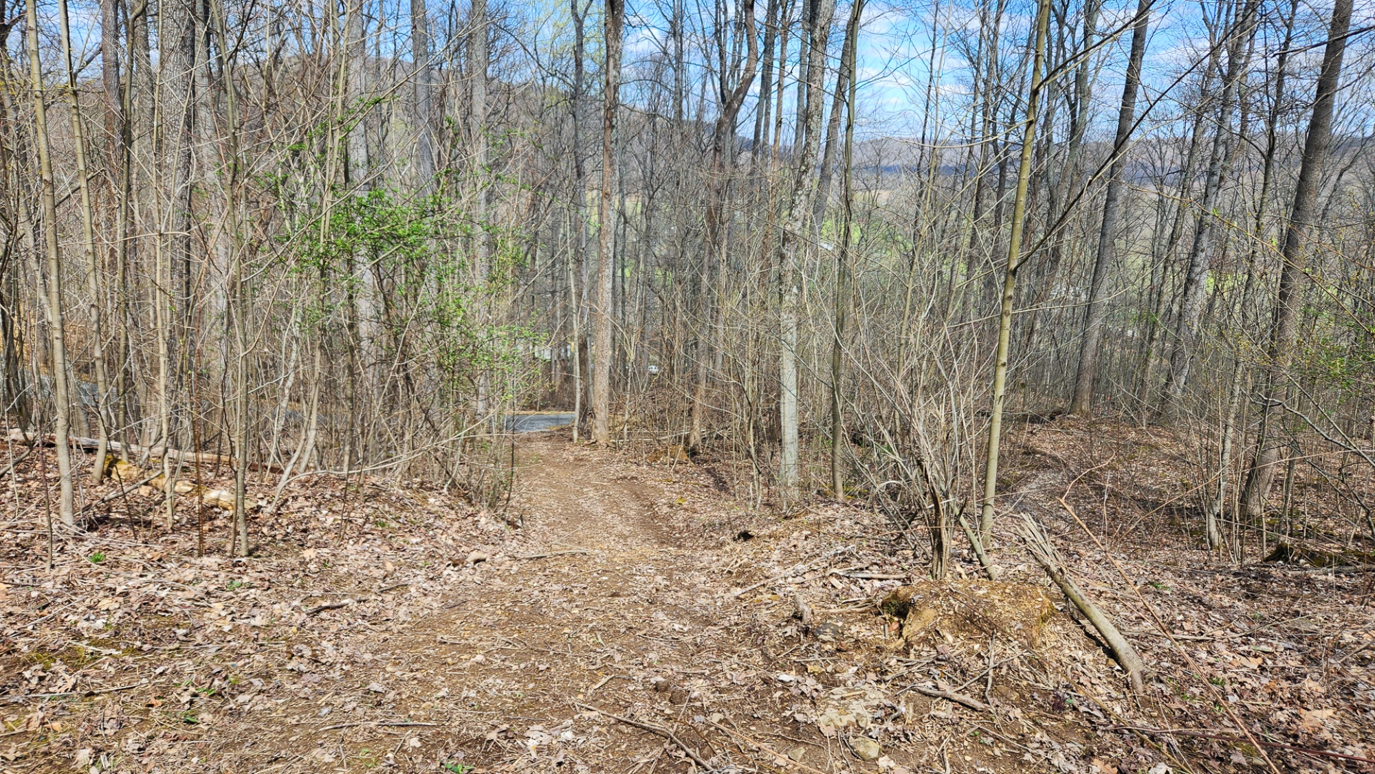
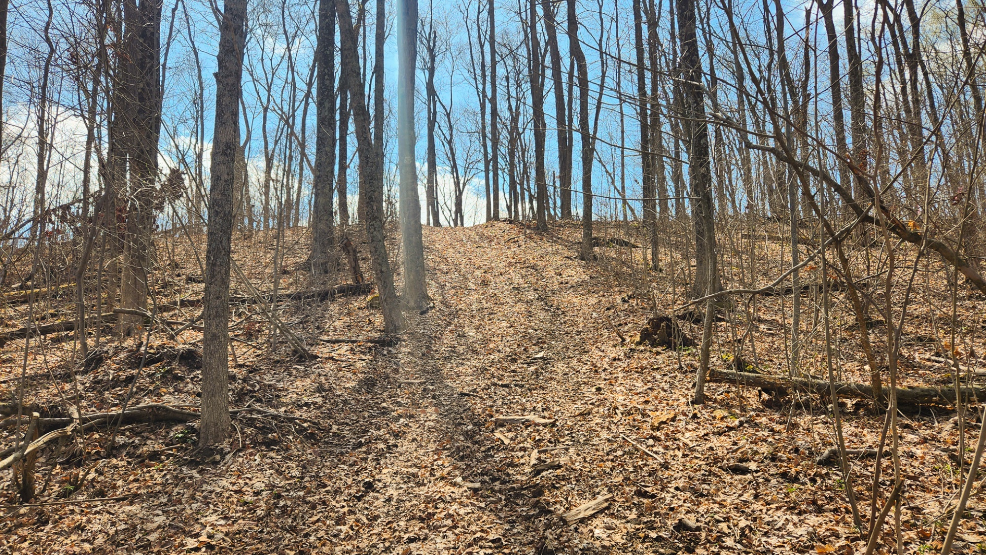
Gently Rises from the Road to Picturesque Destinations and Building Spots
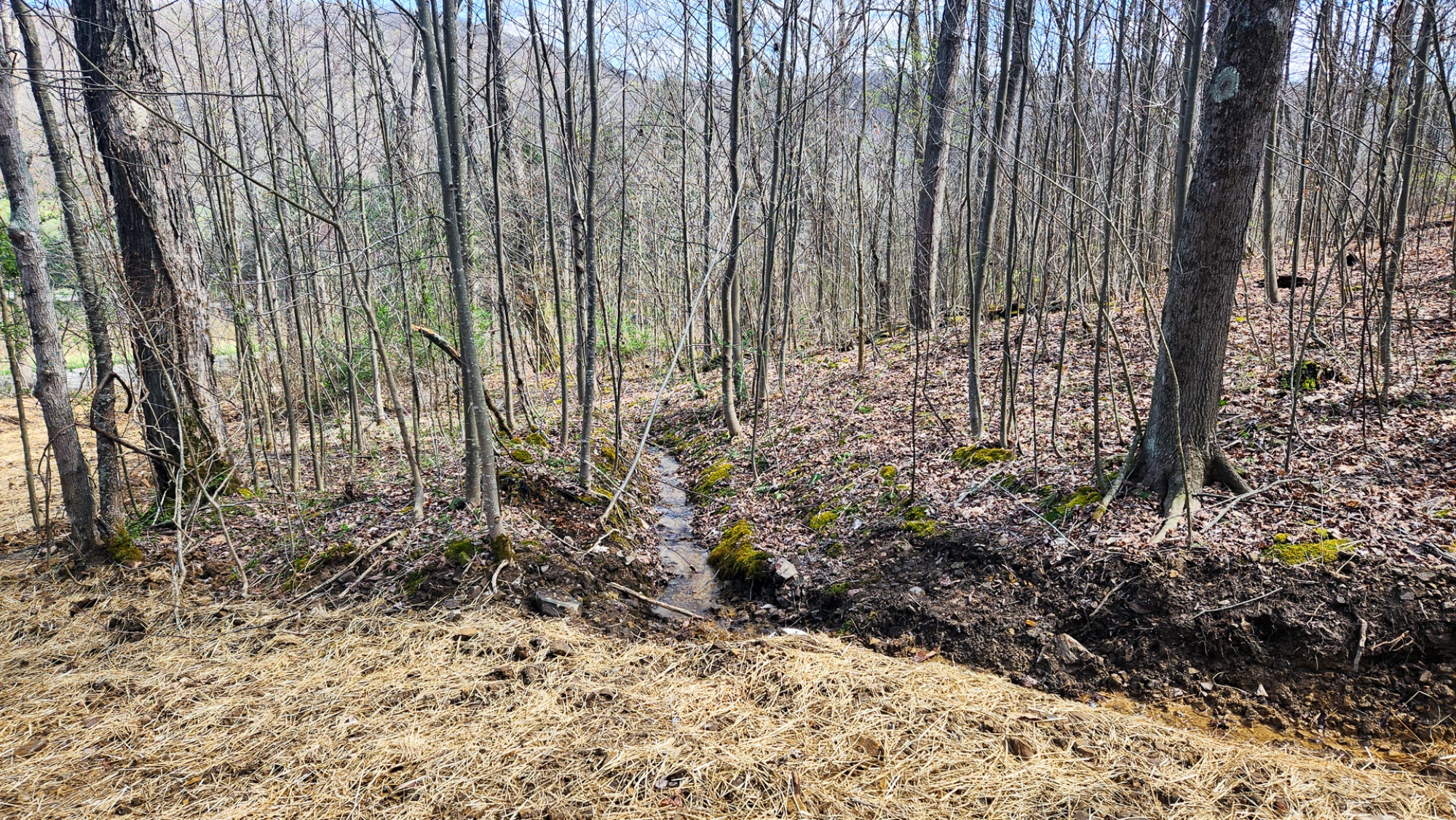
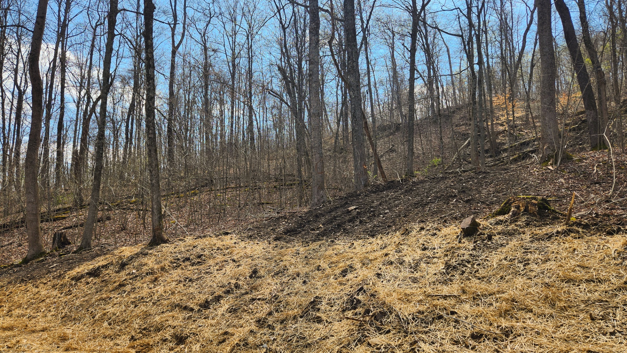
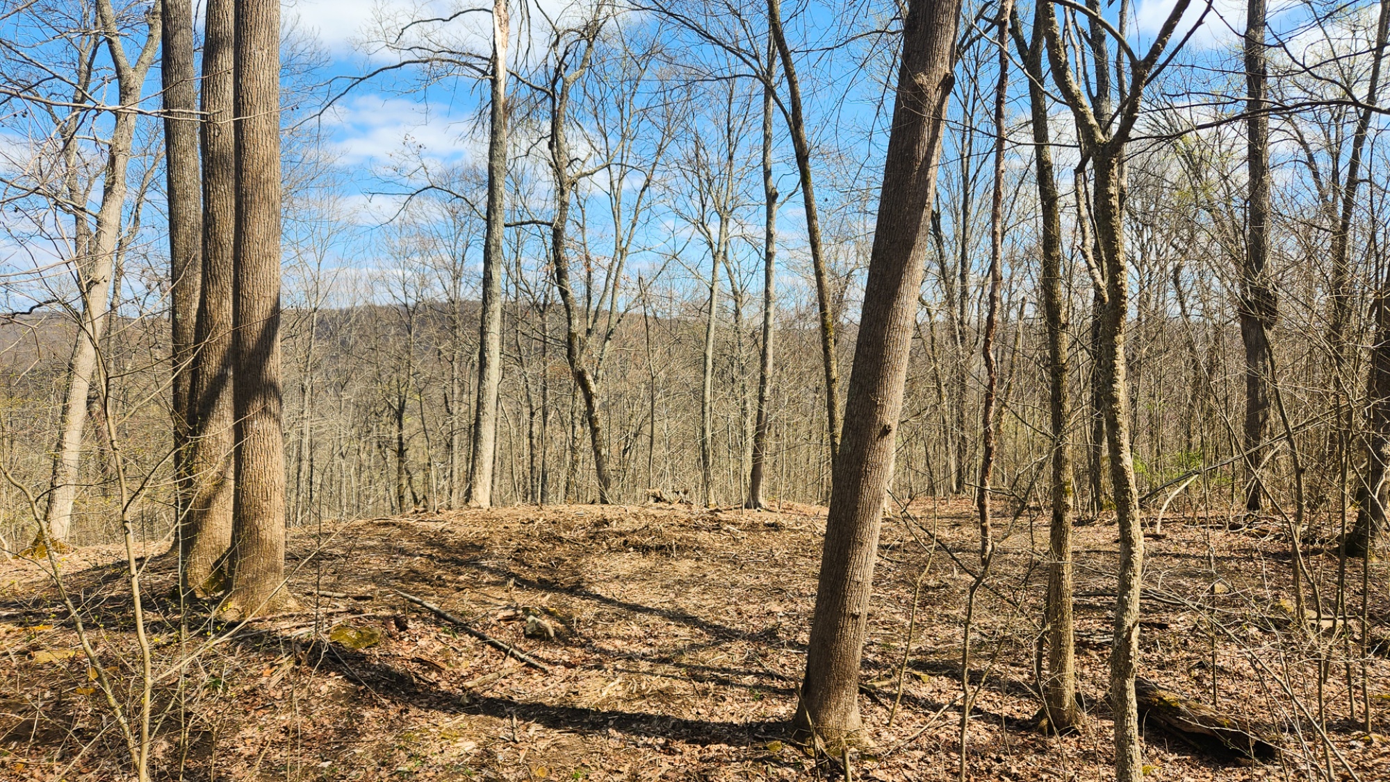
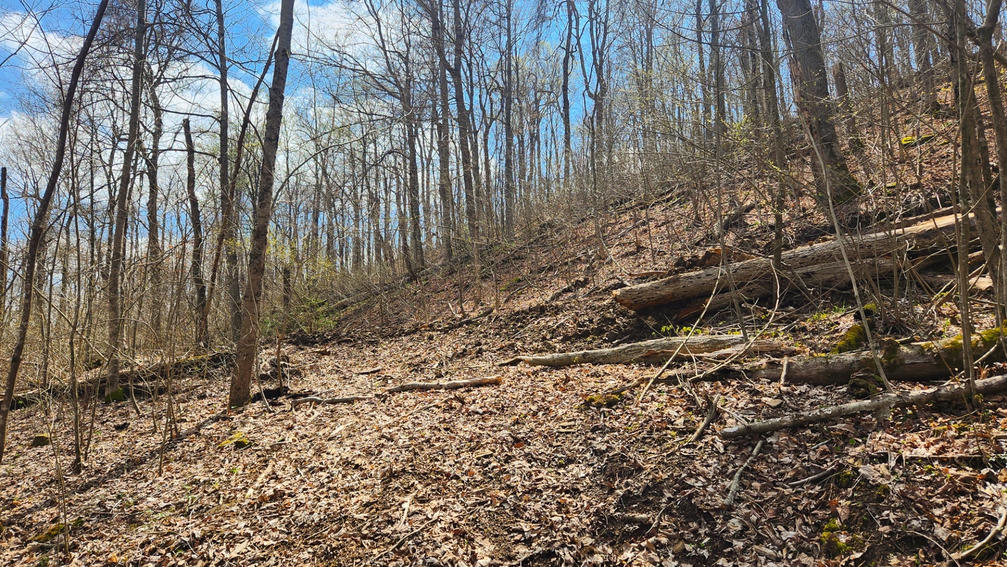
Varied Topography, Some Steep Areas Leading to Gentle Plateaus
Excellent for Camper, RV, Cabin, or Home
Picturesque Park-like Setting
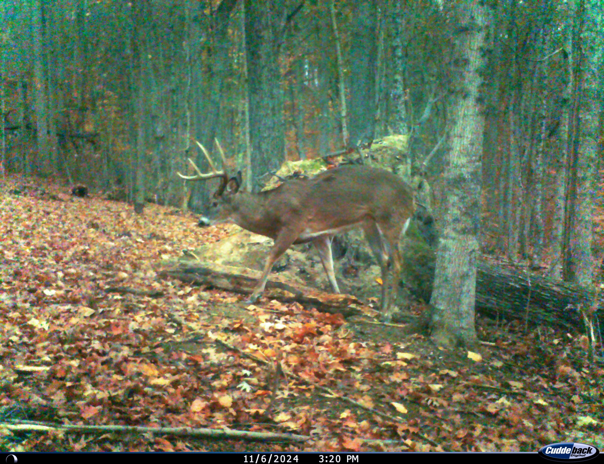
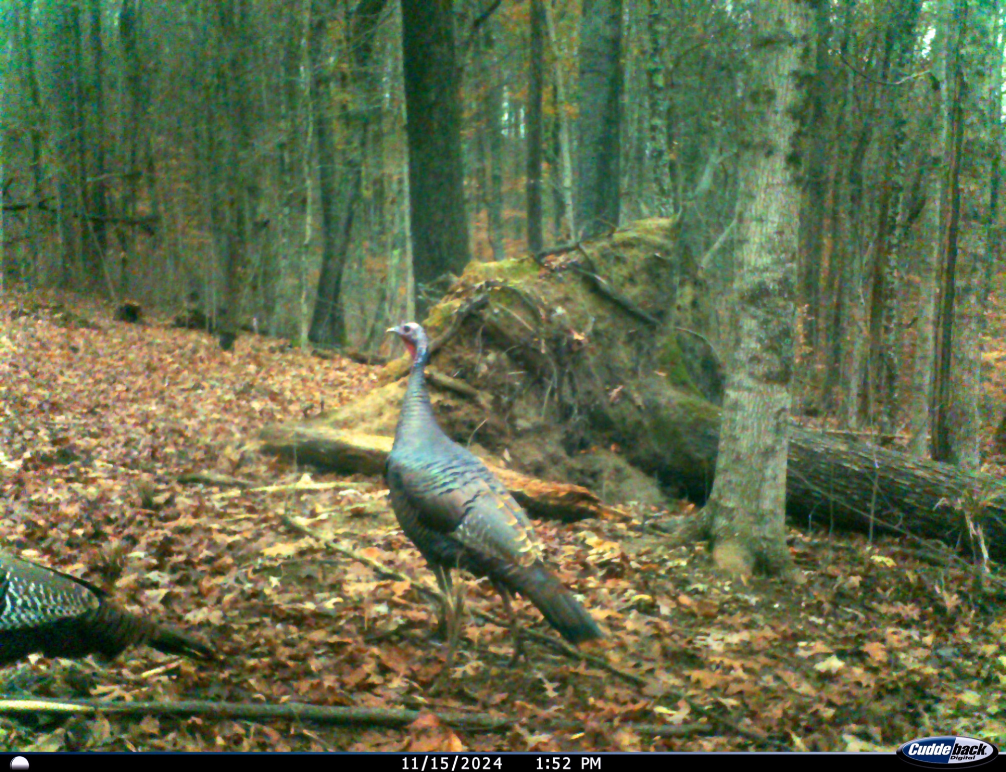
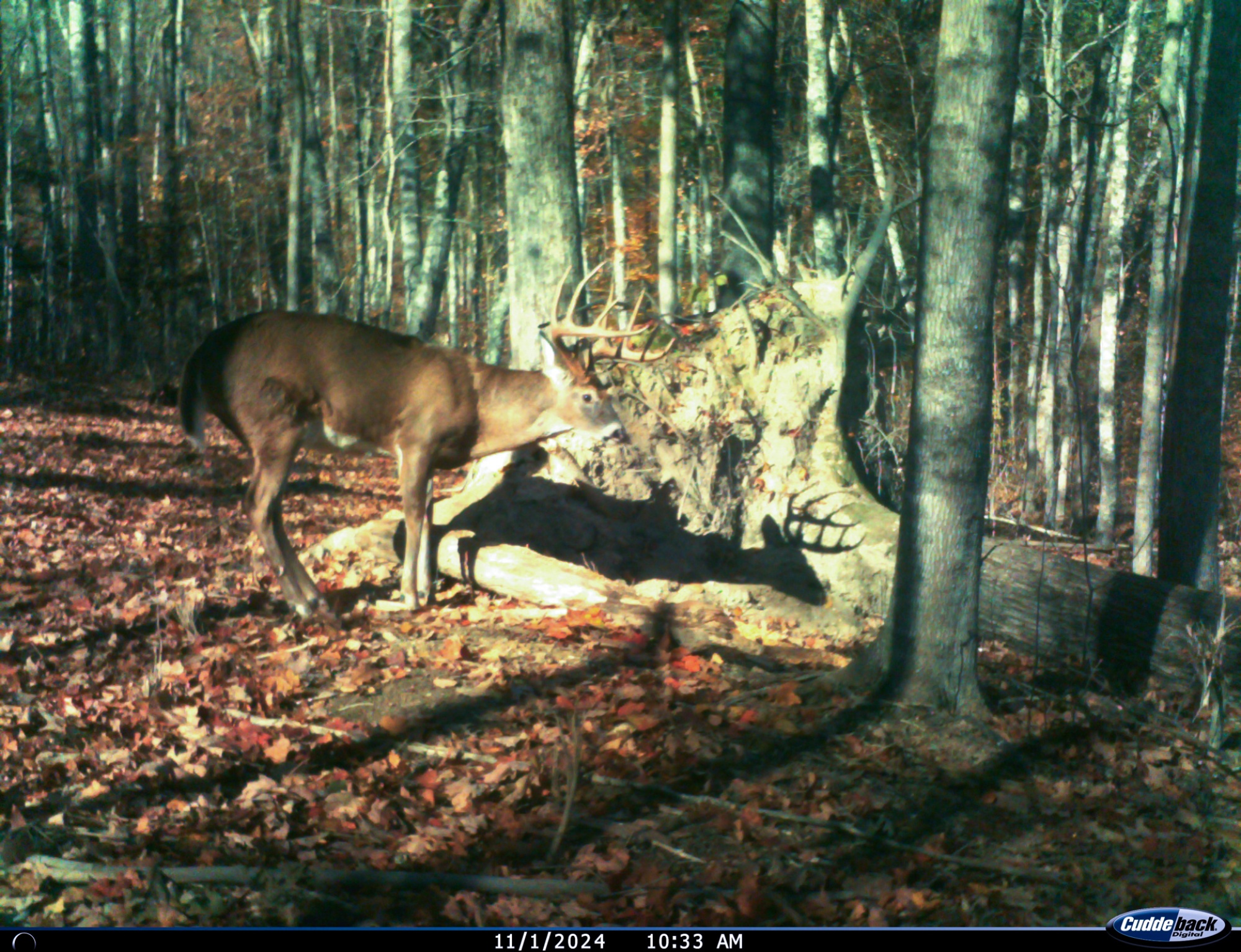
Excellent Deer and Turkey Hunting
Loaded with Wildlife (Wildlife Pics Taken on Tract 1)
Beautiful Remote Country Setting
10.593 Ac - New Survey (Fully Approved)
Additional Tracts Available
No Zoning, Minor Deed Restrictions
AEP Electric and Pike County Water Available at the Road
Benton Twp, Pike County
Western Local School District
Parcel# 03019600 15 Miles to Waverly
15 Miles to Piketon
18 Miles to Wellston
21 Miles to Chillicothe
34 Miles to Portsmouth
60 Miles to Columbus
75 Miles to Athens
75 Miles to Dayton
77 Miles to Cincinnati A Countrytyme advantage
Take the property lines into the field. On your phone, tap Walk property lines , allow your location when asked, and follow the blue dot in Tract Explorer to see your position in relation to the mapped boundary while you explore.
Walk property lines Property photos Show 41 more photos