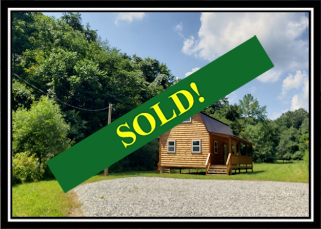
This property has sold.
The interactive map and property-line walking tools remain available. Driving directions are not provided for sold properties.
Interactive property map
Explore this property map. Switch aerial, topographic, soil, water, contour, and terrain layers while the mapped project boundary stays visible.
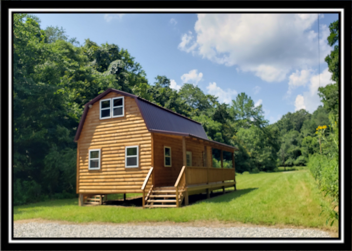
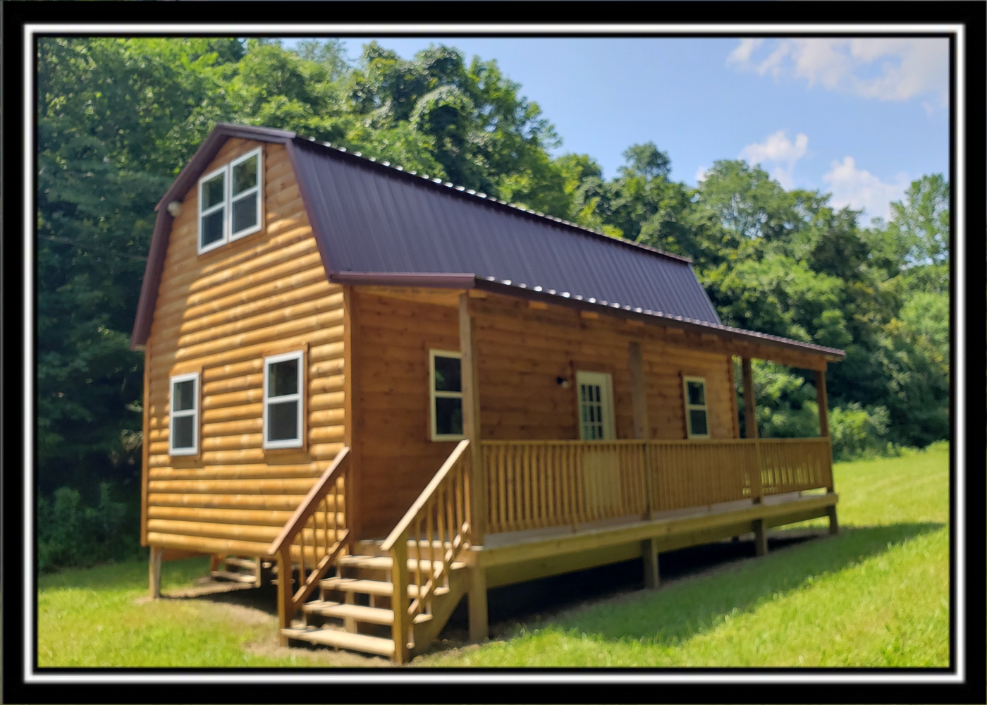
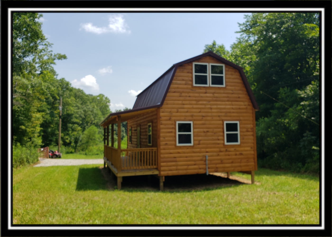
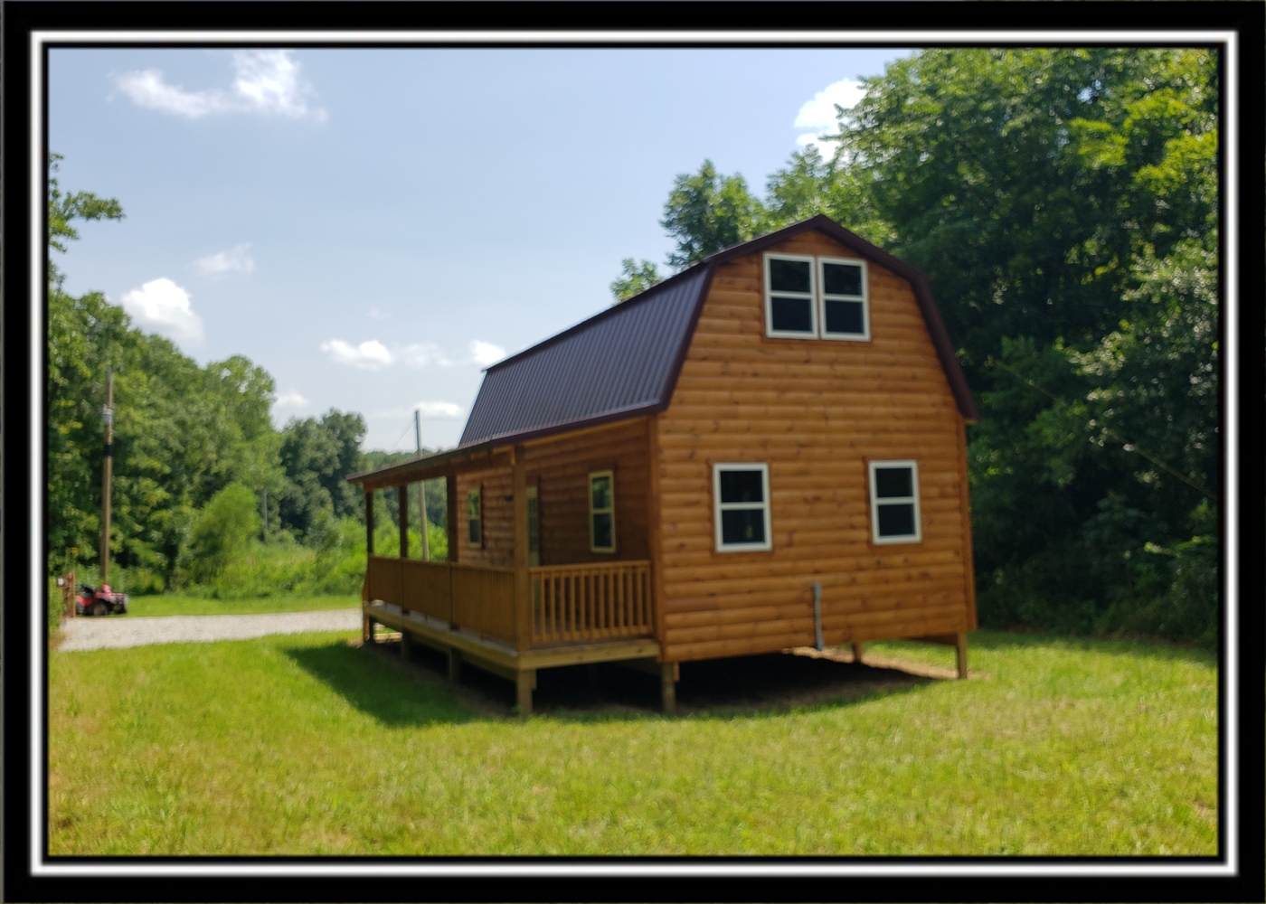
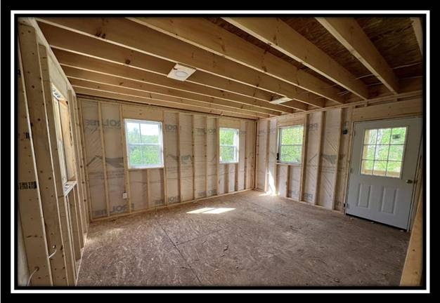
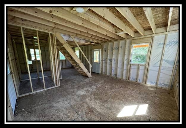
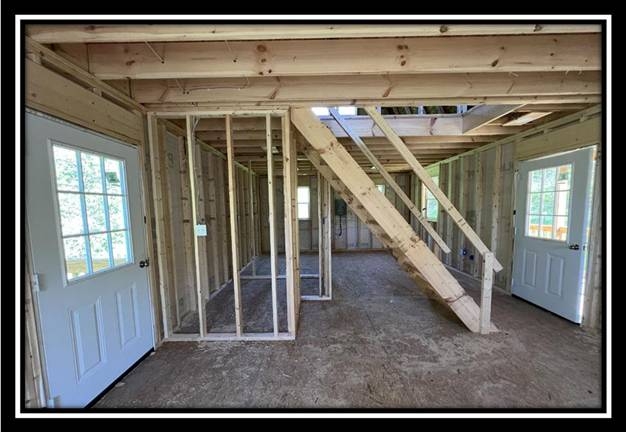
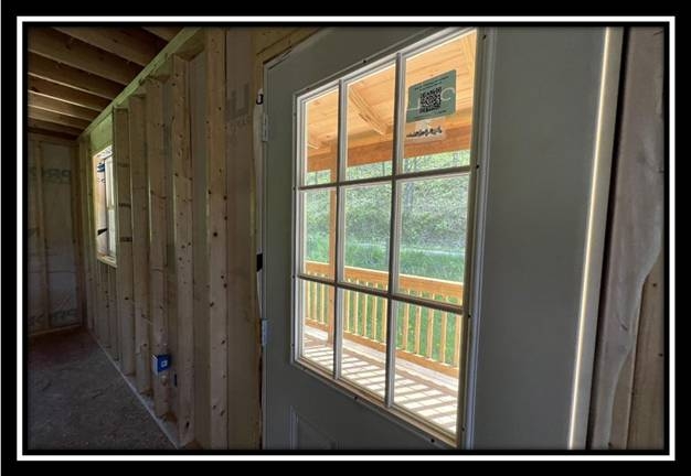
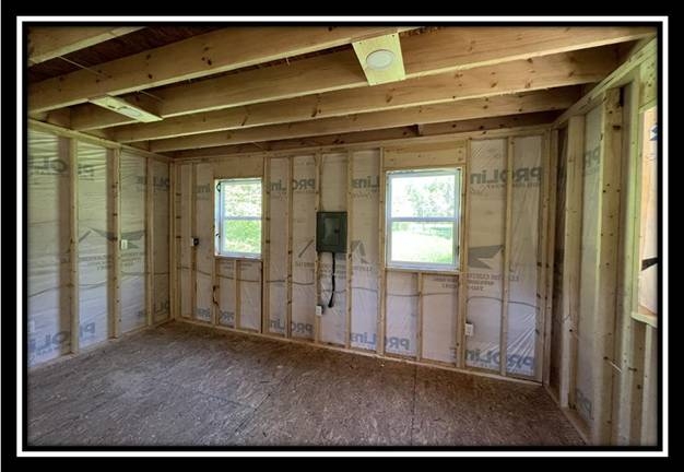
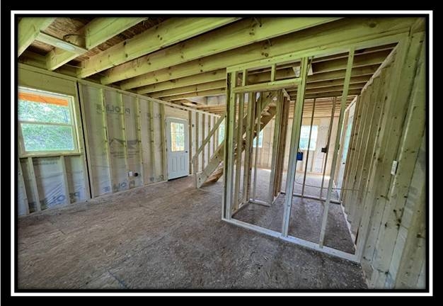
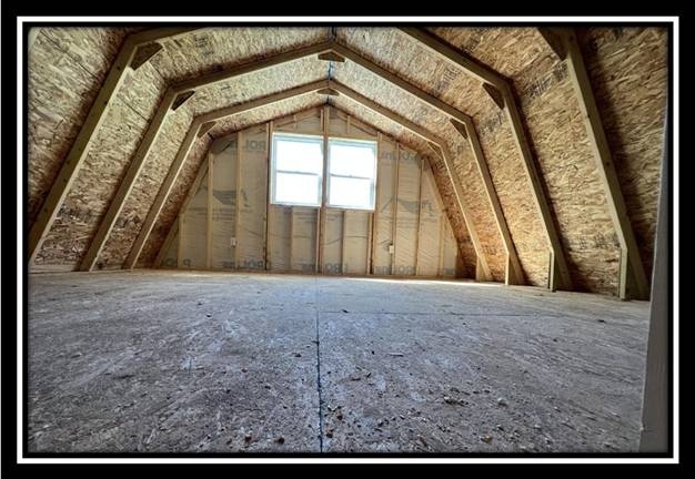
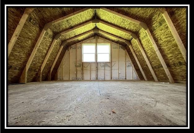
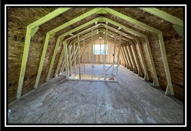
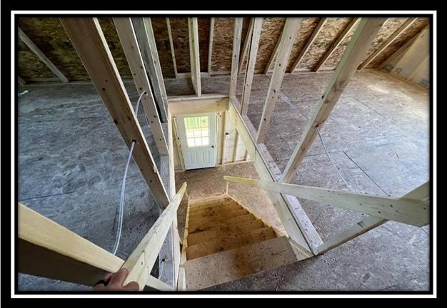
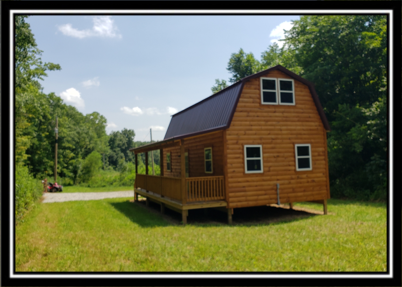
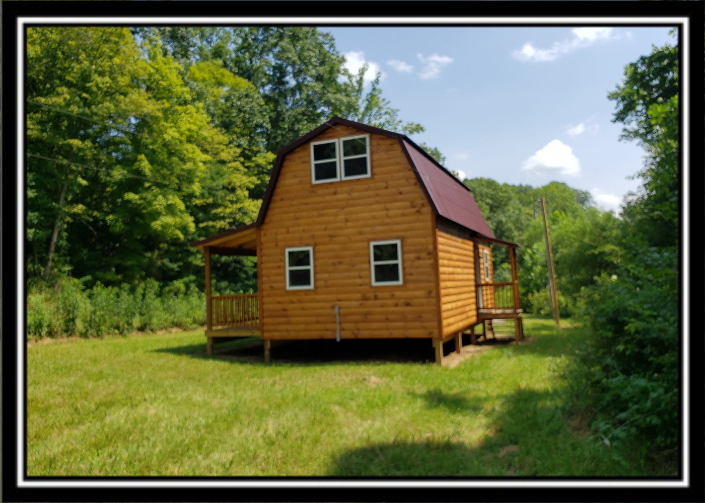
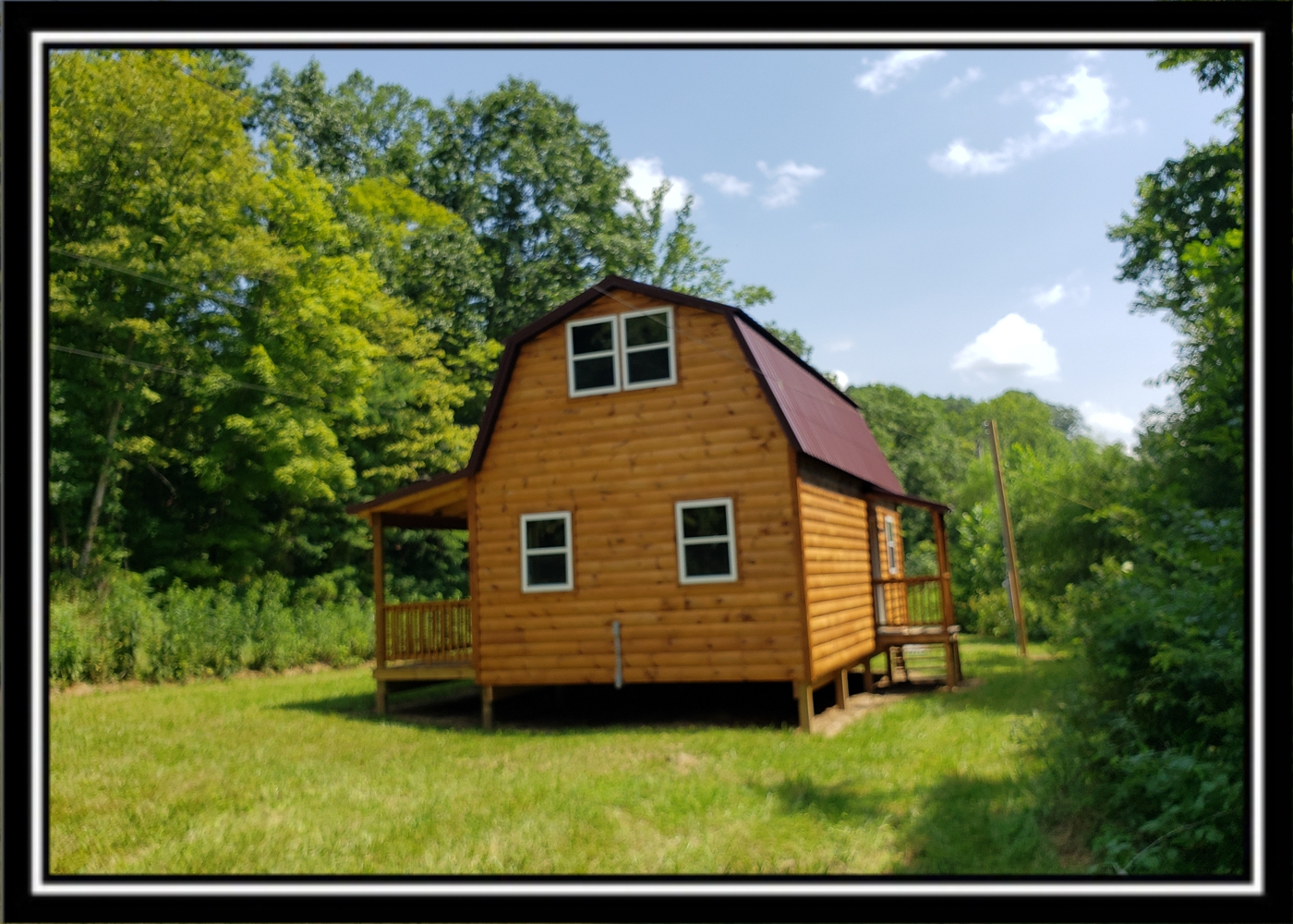
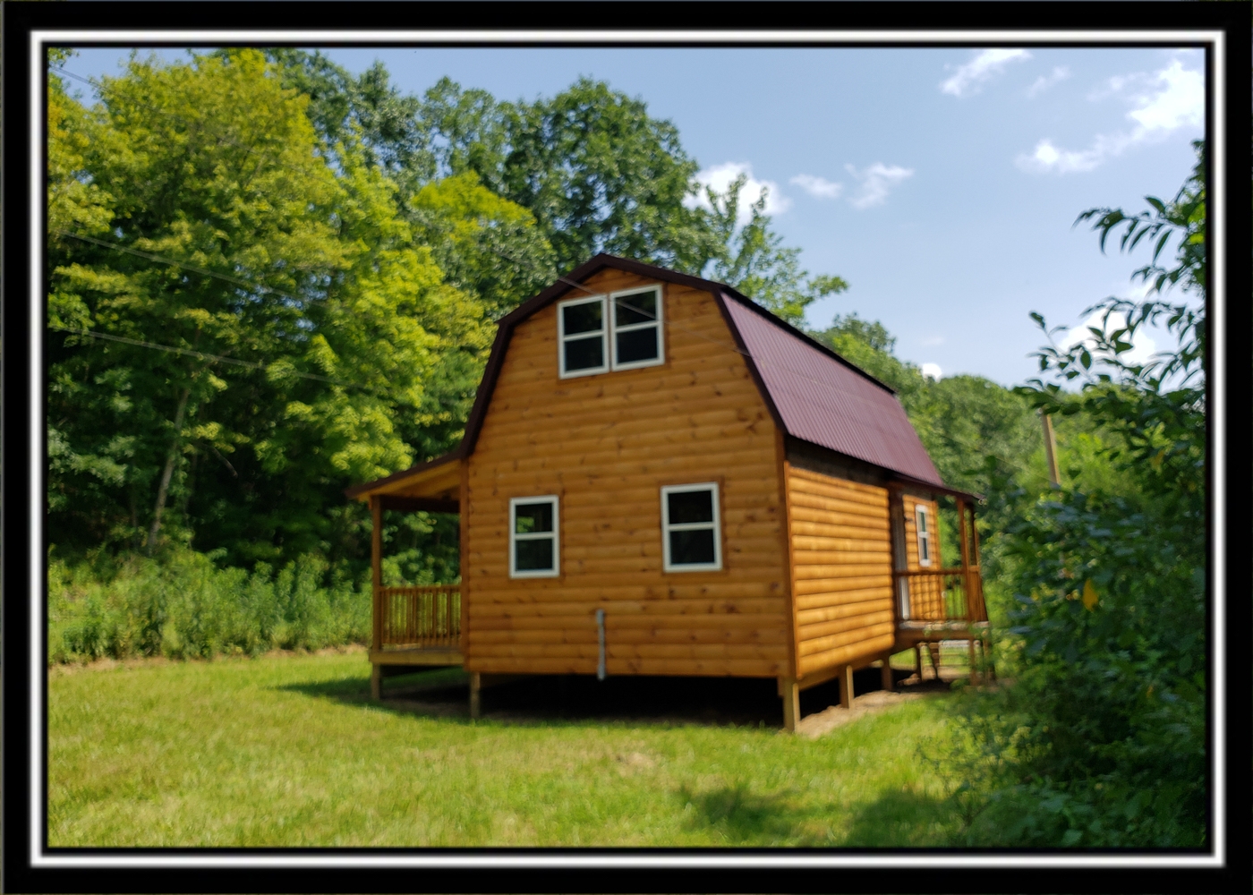
Property Description Creek View Cabin on WayneNew Amish Built 960 sqft – 2 Story Log Sided Pine Cabin
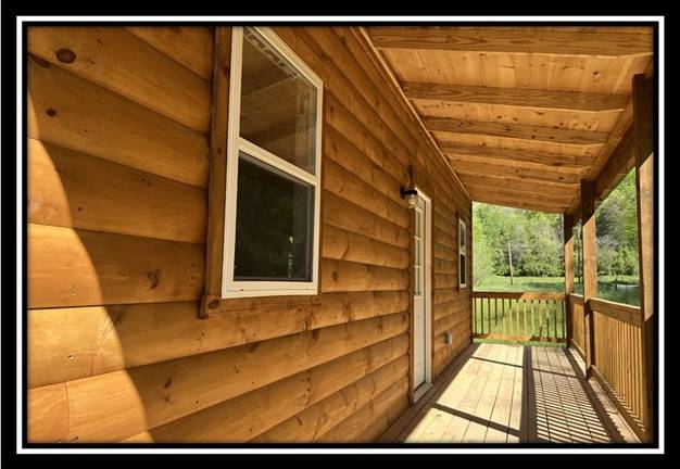
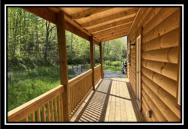
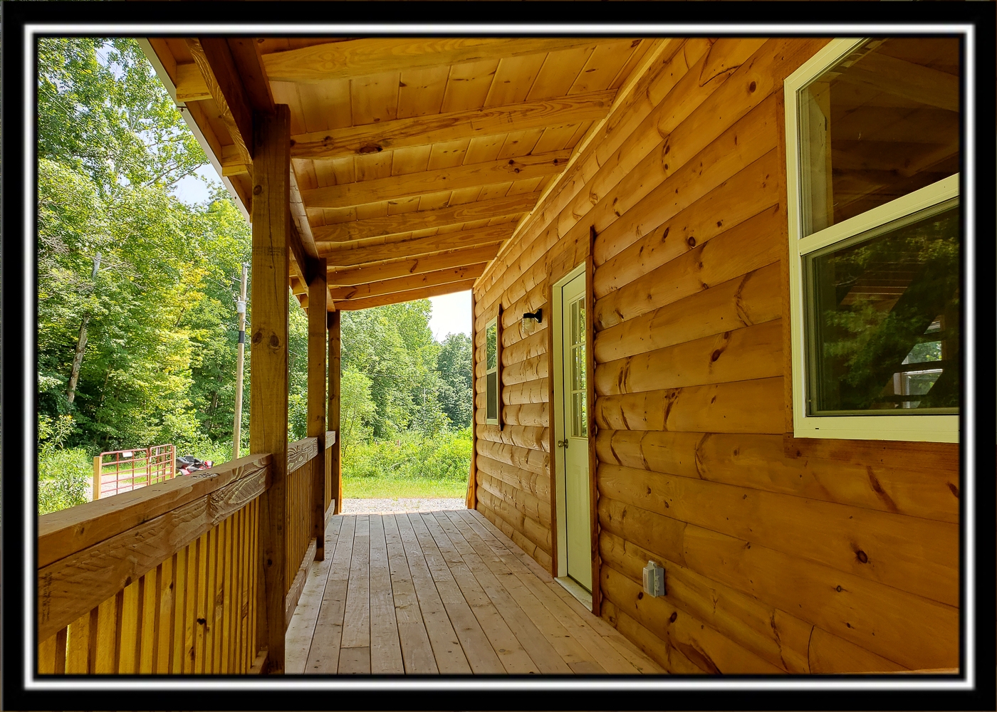
6 x 32 Covered Front Porch
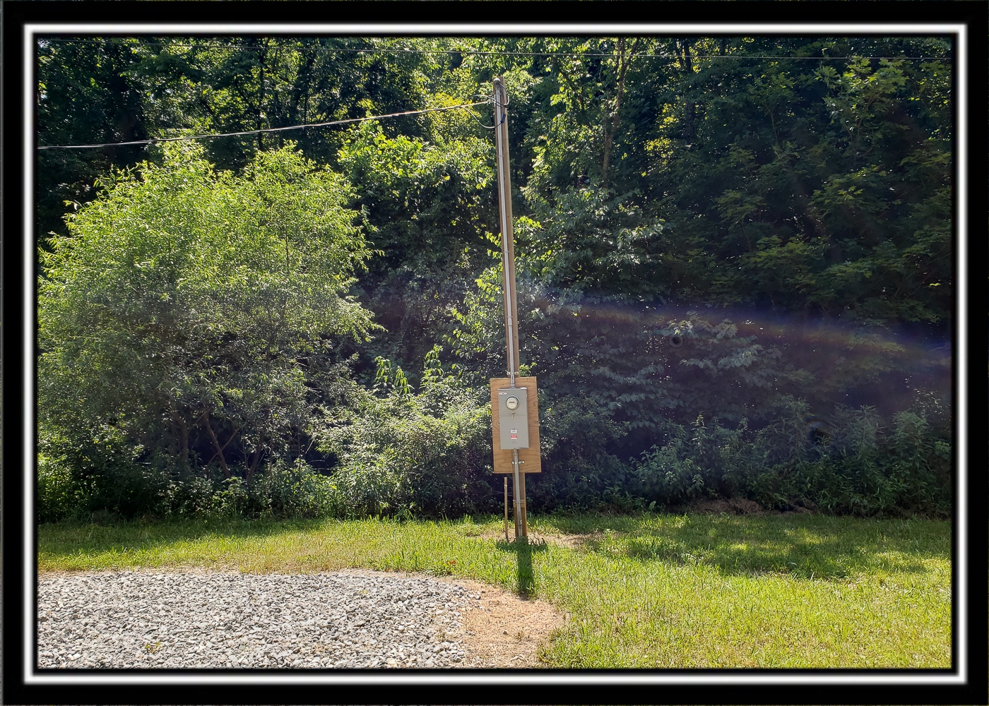
Fully Wired and Connected to Buckeye Rural Electric Service
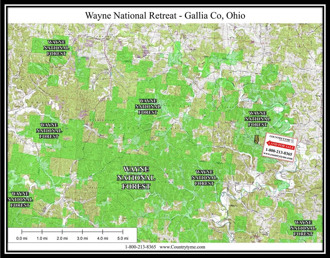
Adjacent to over 80,000 contiguous acres of Wayne National Forest
New Gated Gravel Driveway
Small Rocky Creek
Extensive New Trail System (Trail access is from road on other side of creek)
Hidden Ridge Top Meadow with Feeder and Watering Hole Pond
Excellent Deer and Turkey Hunting
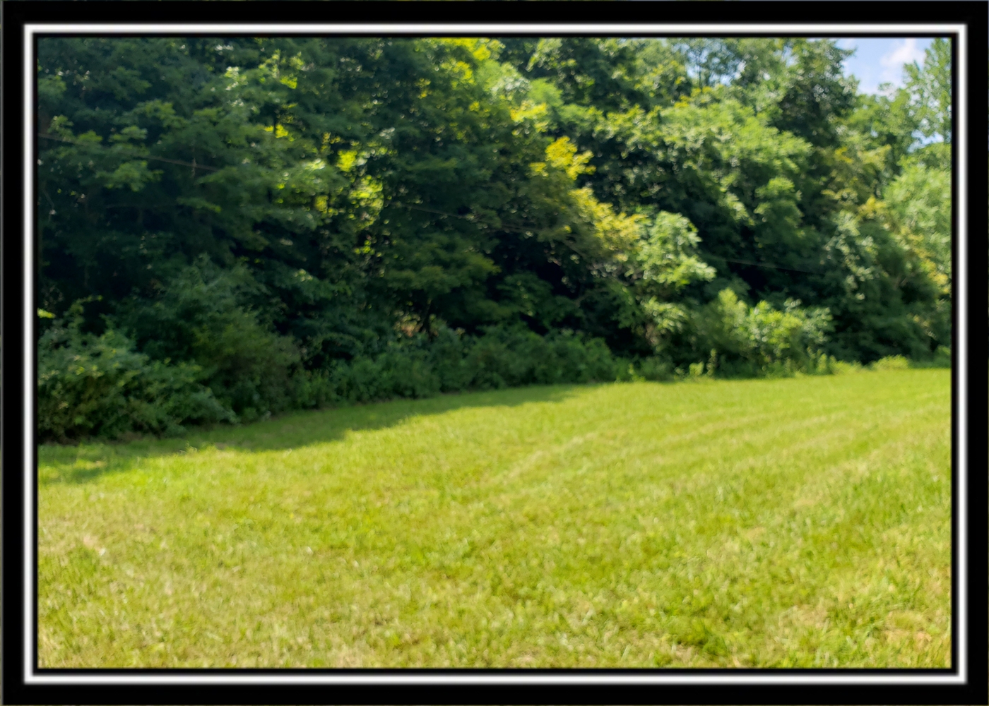
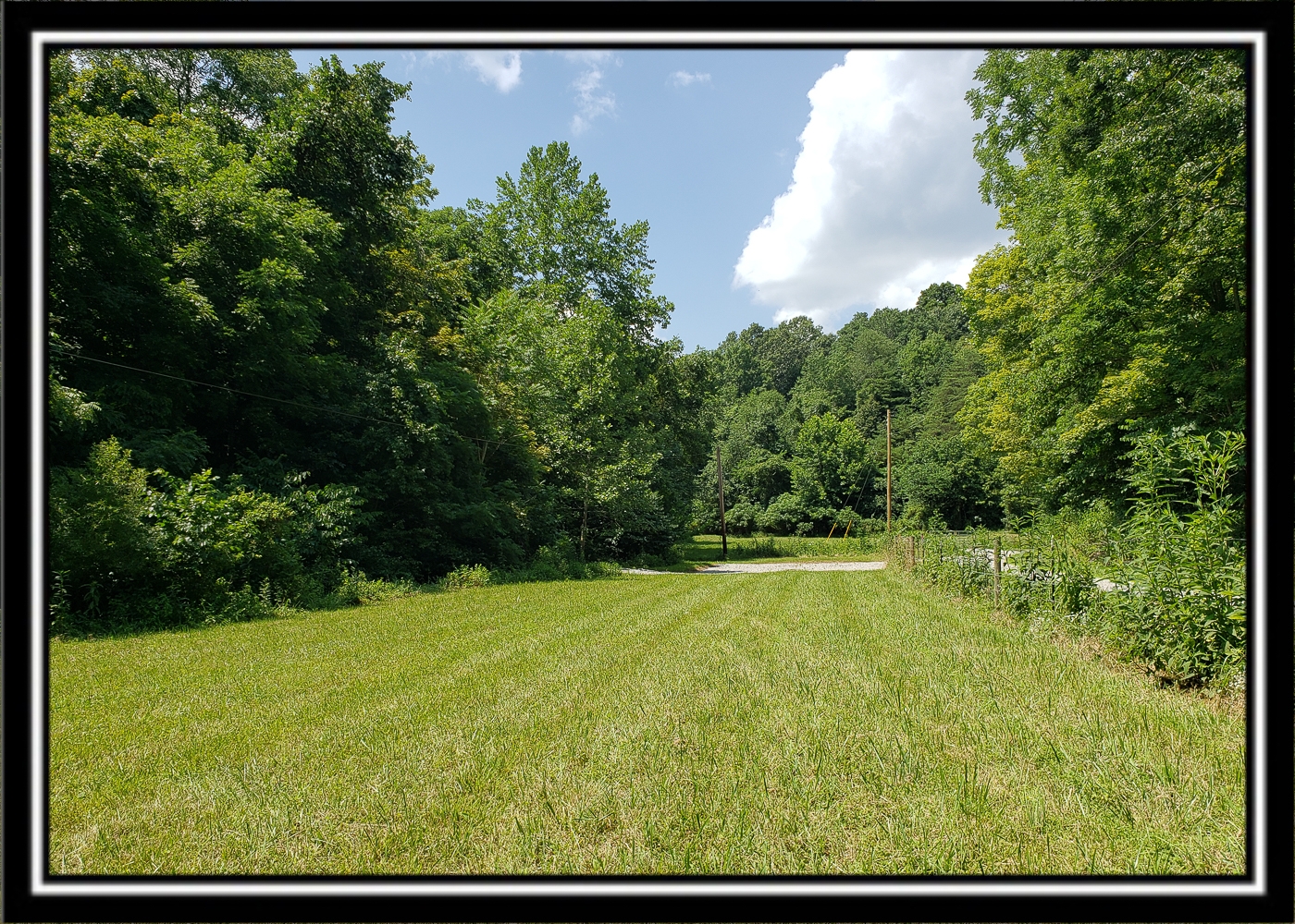
Mixture of Mature Woods and Young Growth
Endless Recreational Opportunities both on the property and in the area
Beautiful Remote Country Setting on Dead End Country Road
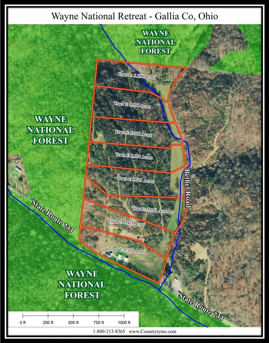
New Survey – 5.046 Acres
Owned Port-A-John Included
Tract 6 at Wayne National Retreat, a deed restricted large lot recreational development
Additional Acreage Available
All Mineral Rights Transfer with No Active Leases (ATO)
Gallia Rural Water Available
Perry Twp, Gallia County
Gallia County Local School District
Parcel # 021-001-227-03 On Wayne National Forest
9 Miles to Rio Grande
10 Miles to Oak Hill
14 Miles to Gallipolis
21 Miles to Jackson
87 Miles to Columbus
120 Miles to Cincinnati
124 Miles to Dayton More tracts in Wayne National Retreat A Countrytyme advantage
Take the property lines into the field. On your phone, tap Walk property lines , allow your location when asked, and follow the blue dot in Tract Explorer to see your position in relation to the mapped boundary while you explore.
Walk property lines Property photos Show 15 more photos